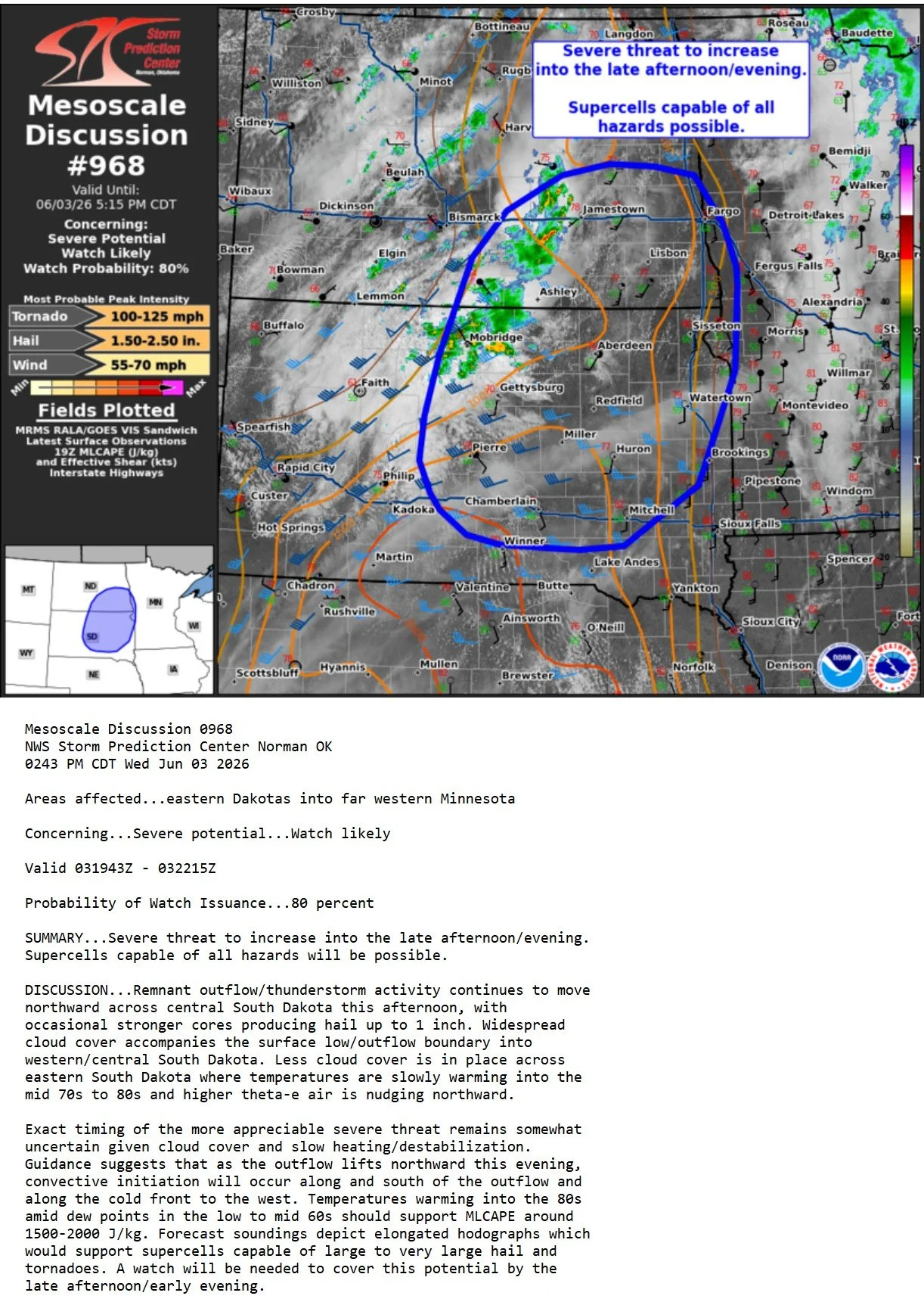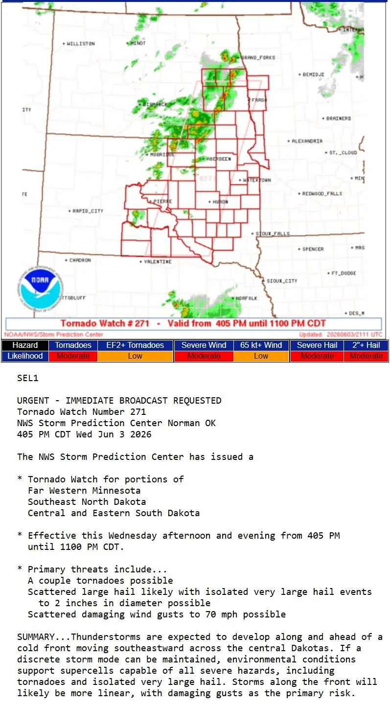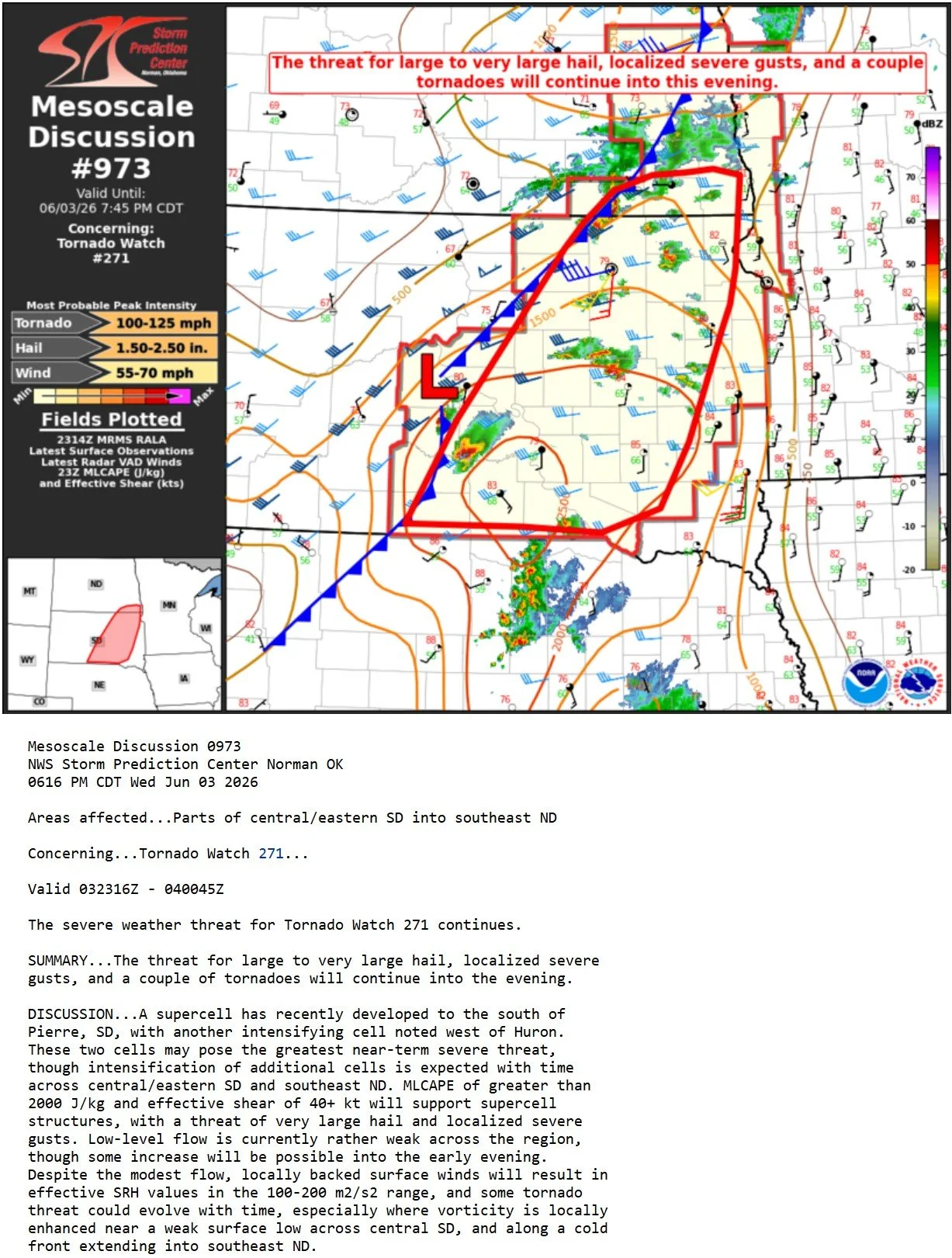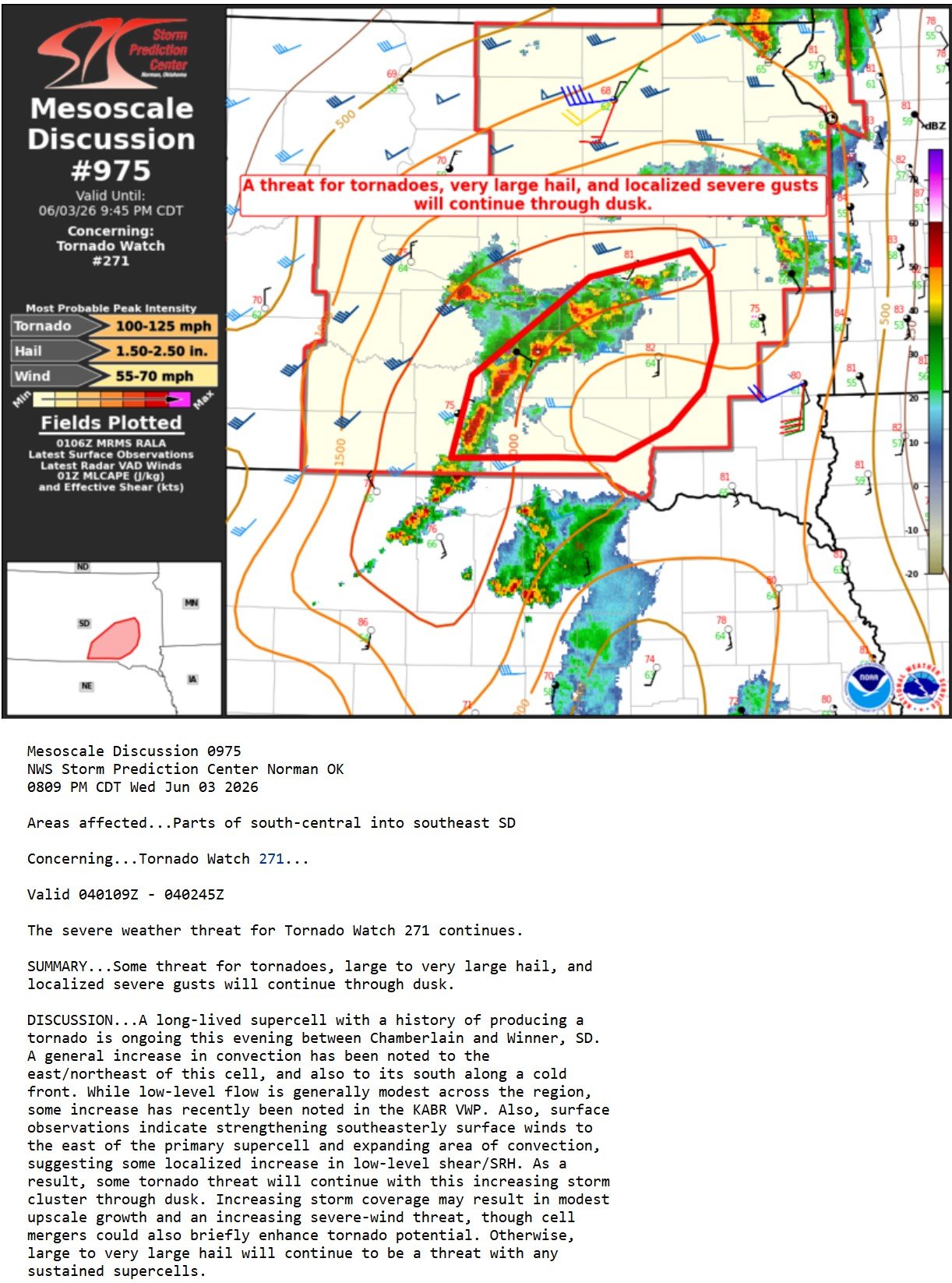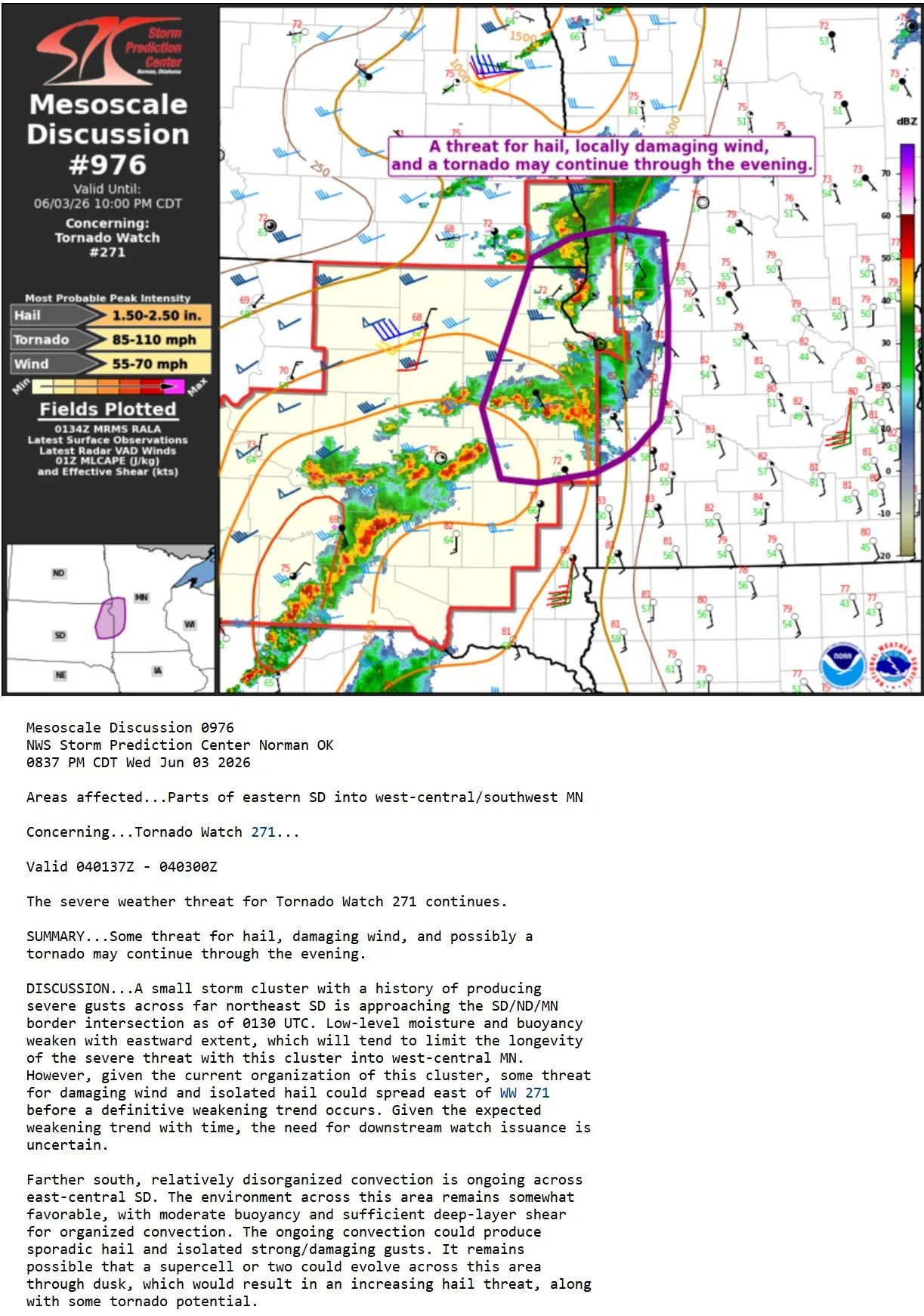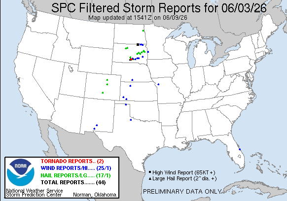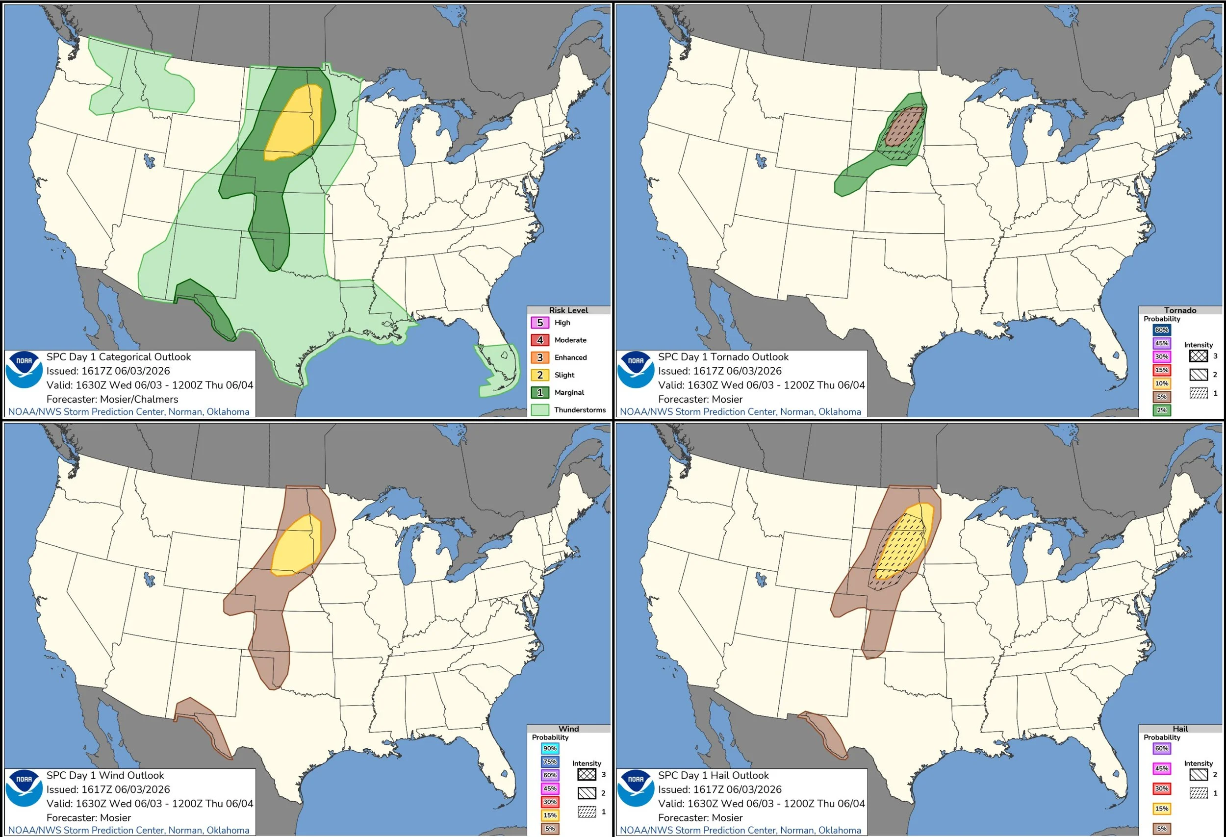
JUNE 3, 2026 SOUTH DAKOTA: SEVERE WIND AND HAILER
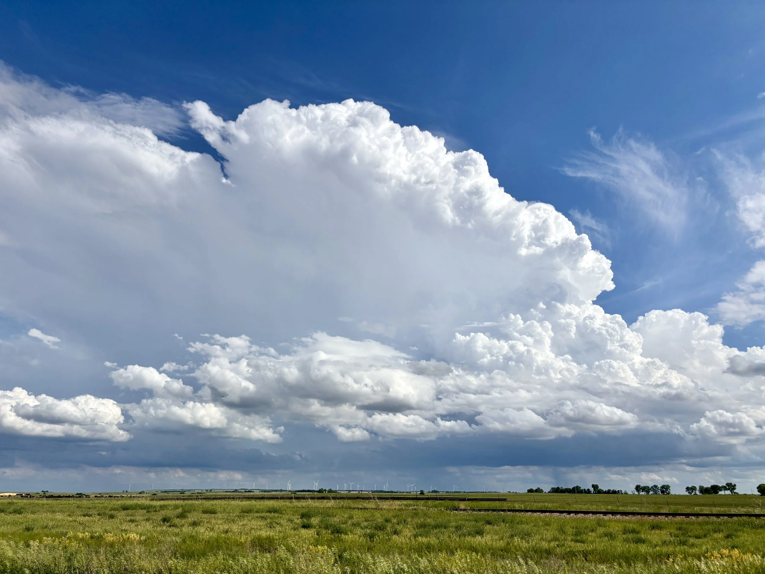
Storm just getting going out ahead of the cold front in the open warm sector near Miller, South Dakota. Time is 5pm.

Storm updrafts starting to congeal with the tail end updraft looking stout and likely to take over the show with time. The environment is a good combination of instability and shear in the warm sector, but lacking low level flow.
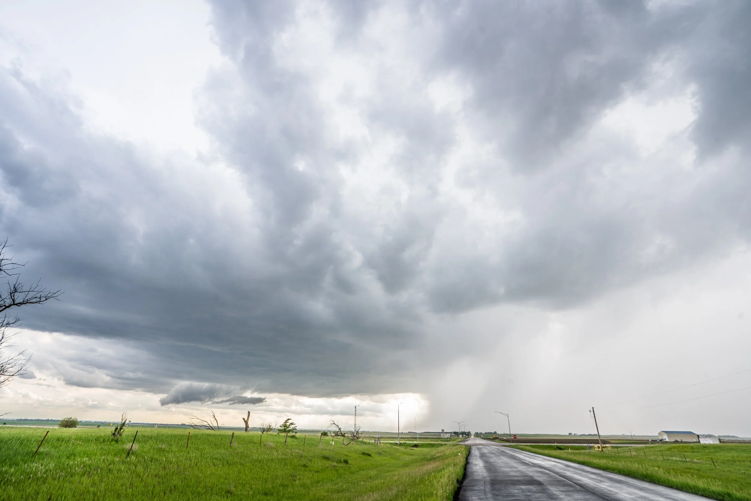
Around 45 minutes later chasing the storm east to near Wolsey, South Dakota. Storm core really starting to get intense. Weak lowering forming on the left.

I like this shot of the dead tree, slowly developing lowering and intense storm core approaching.
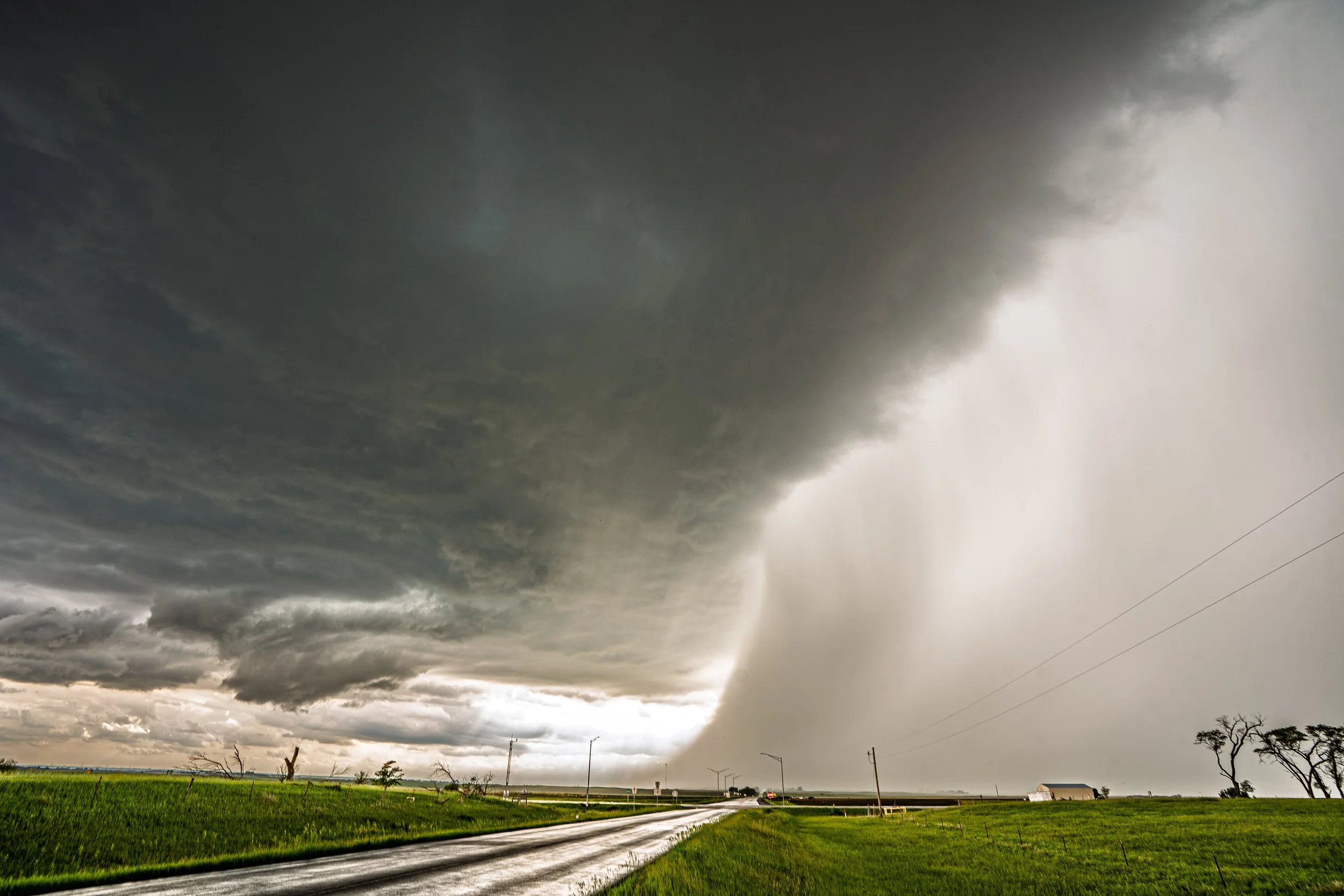
Really intense core now… wow. Would not want to get caught in that! Lowering starting to wrap up a bit with slow rotation.

This was the best the weak wall cloud looked on this storm throughout it’s life cycle. Slowly rotating with condensing scud into it and trying to wrap up a bit. Best shot it had at producing a tornado near Wolsey.
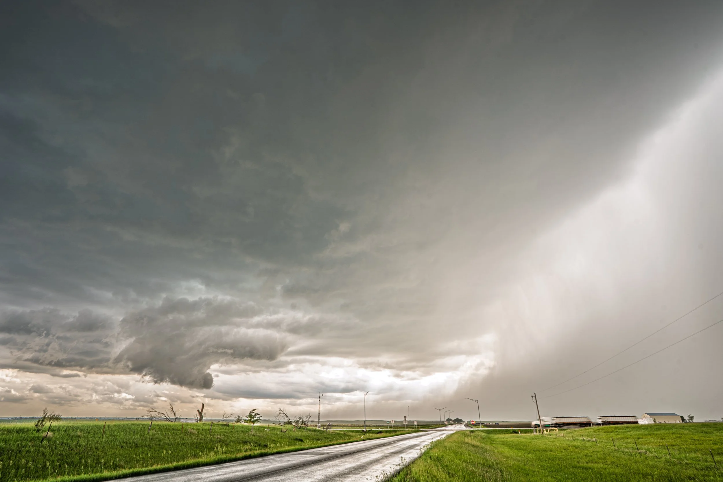
One more lowering, structure, and core shot.
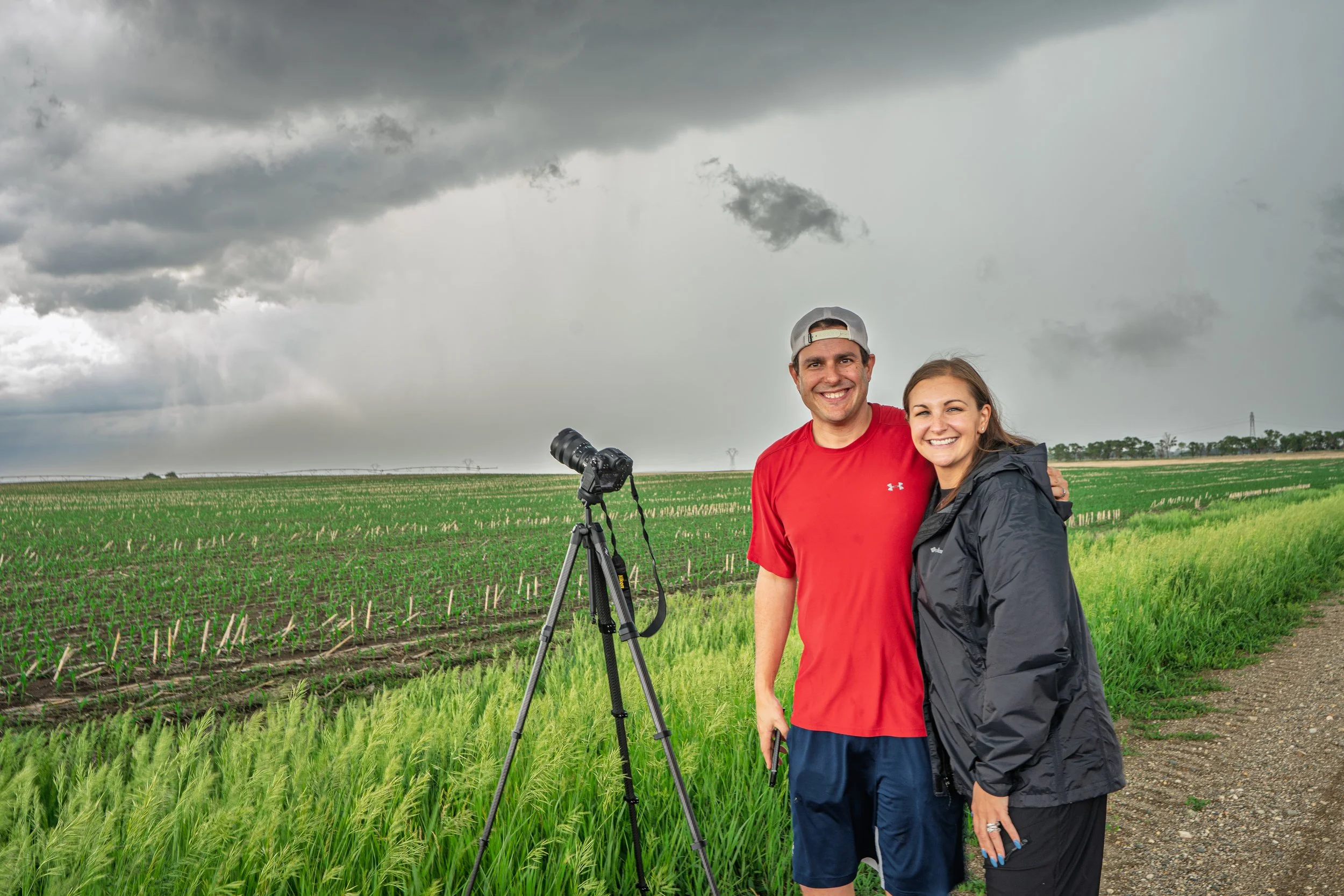
Met my friend Marcus and Ashley out chasing. Newlyweds! Love it that they took a chase trip right after they got back from their honeymoon.
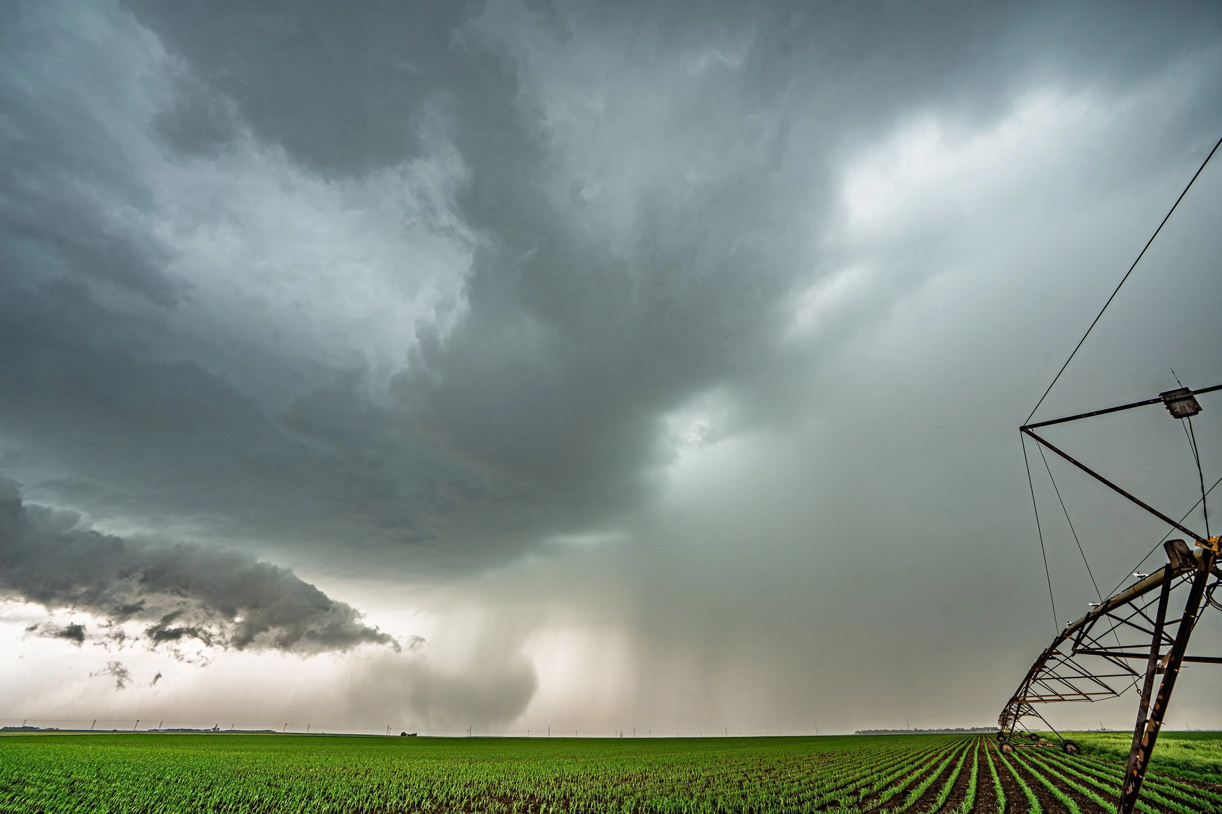
Watching a downburst to the left of the main core descend to the ground. Near Yale, South Dakota.
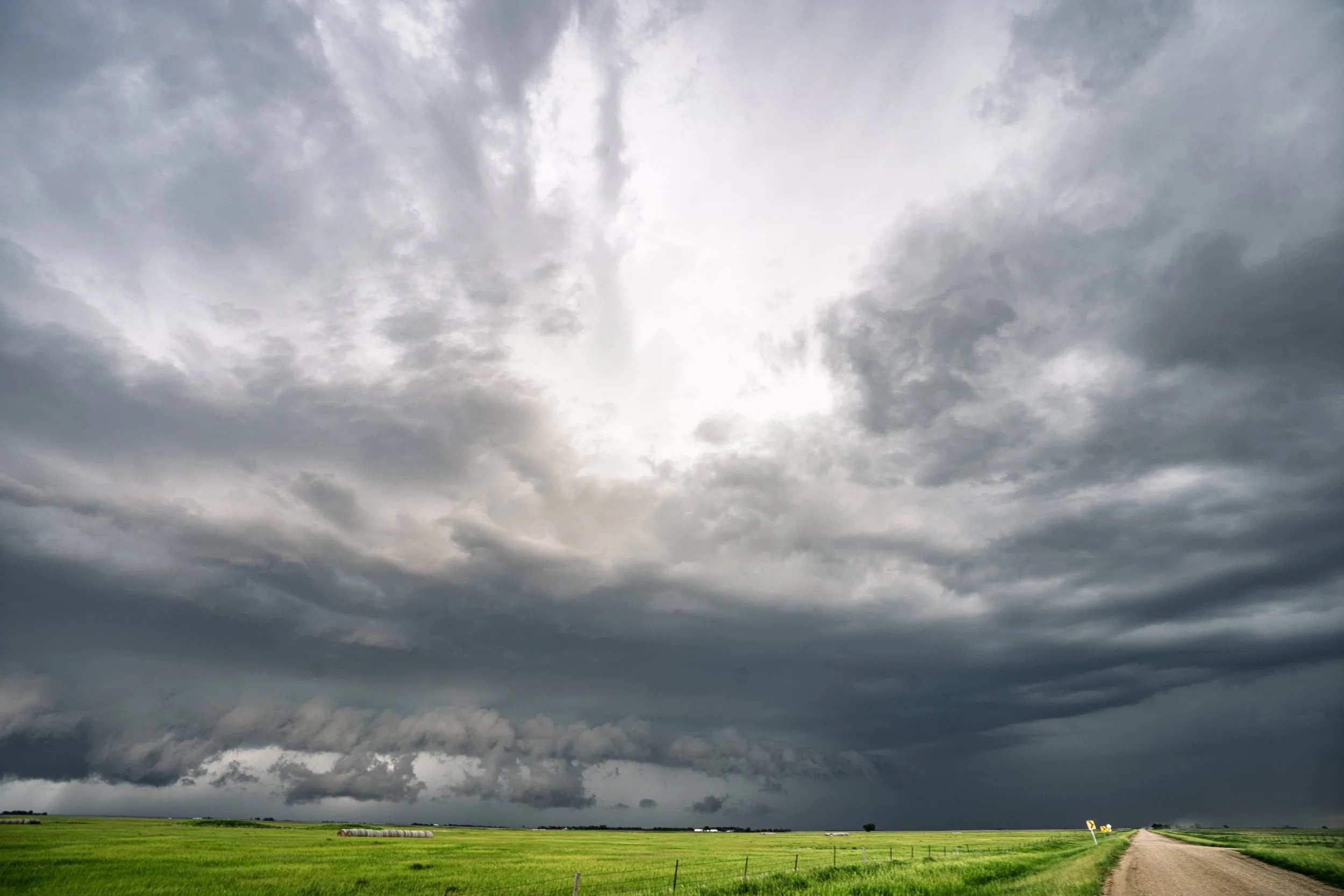
Decent structure as the storm began gusting out and producing a shelf cloud near Bancroft, South Dakota.

Favorite structure shot of the day with a mean looking shelf cloud!