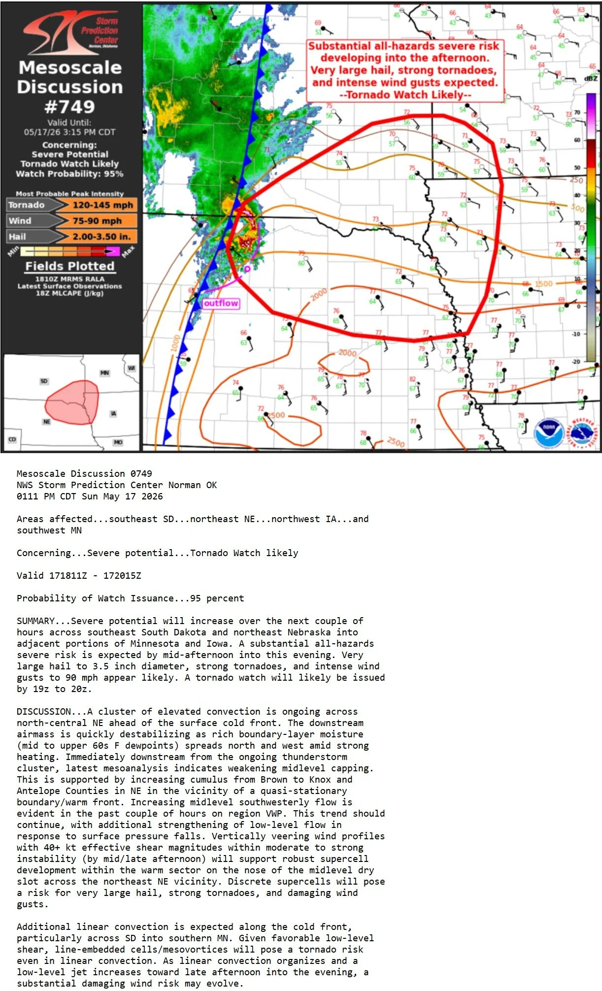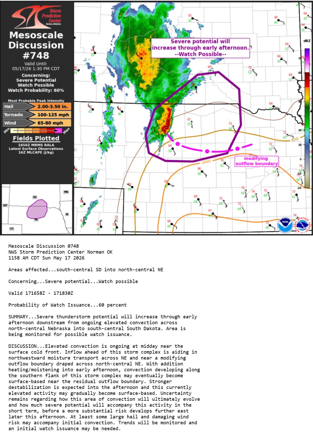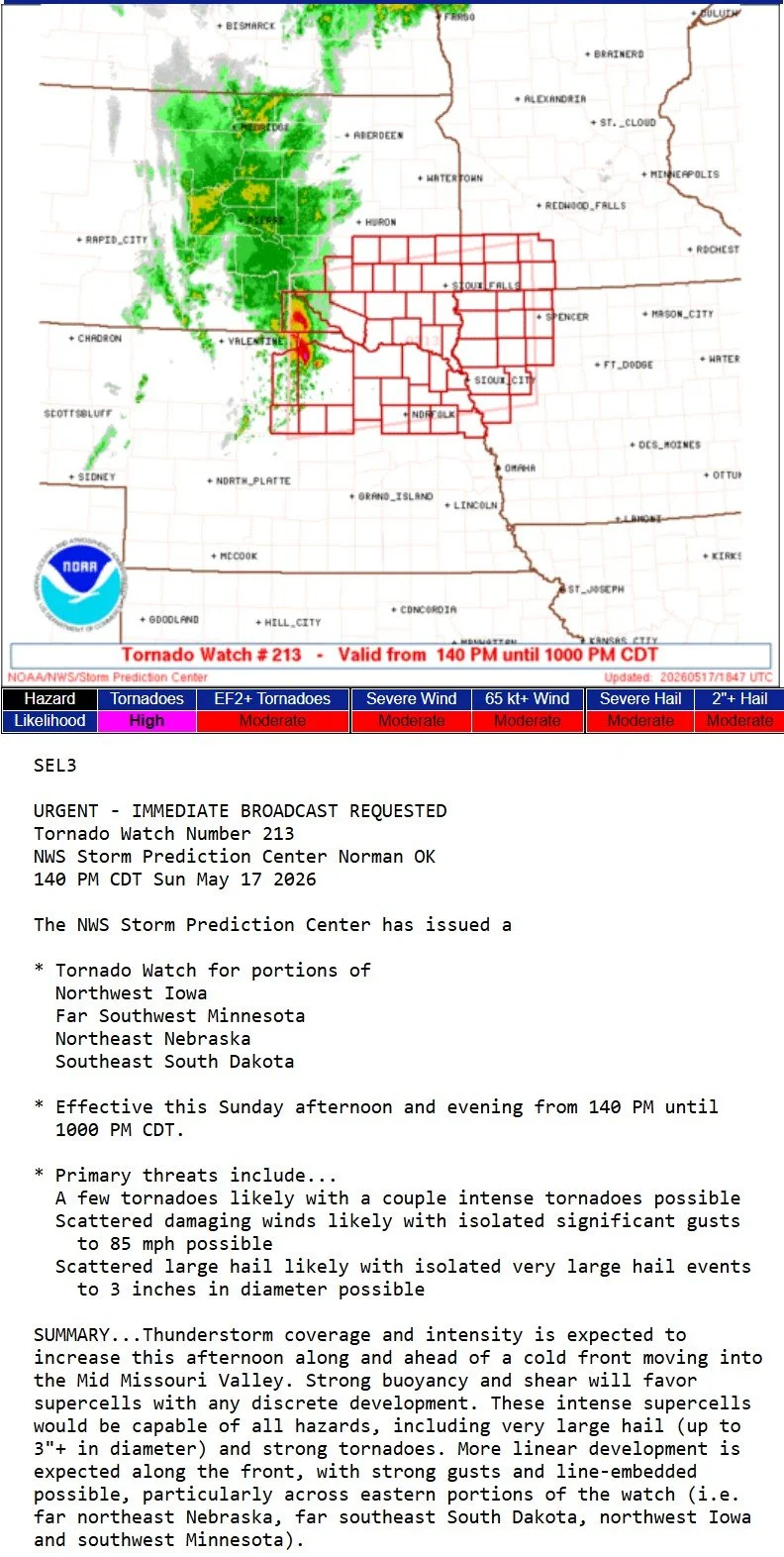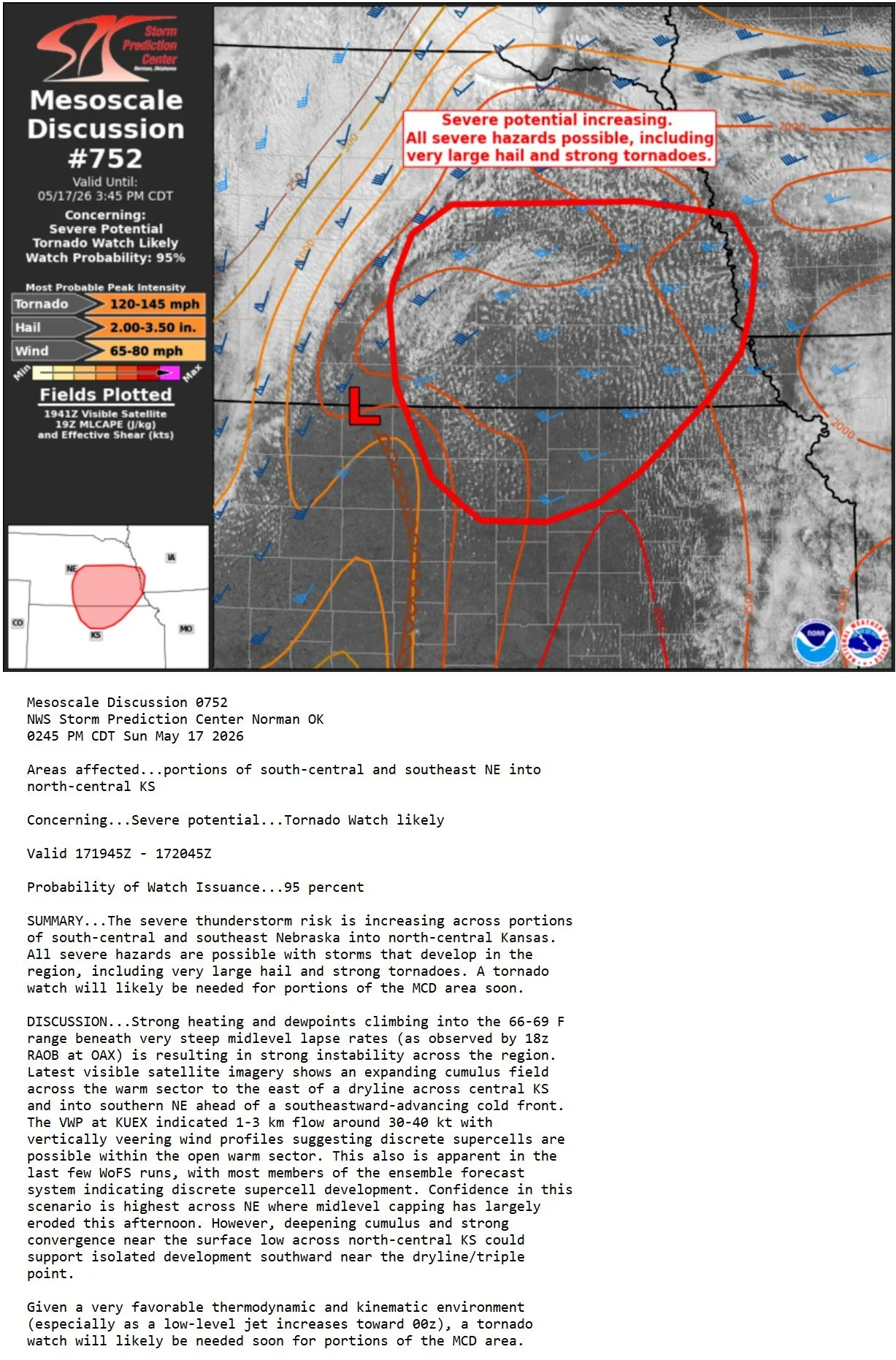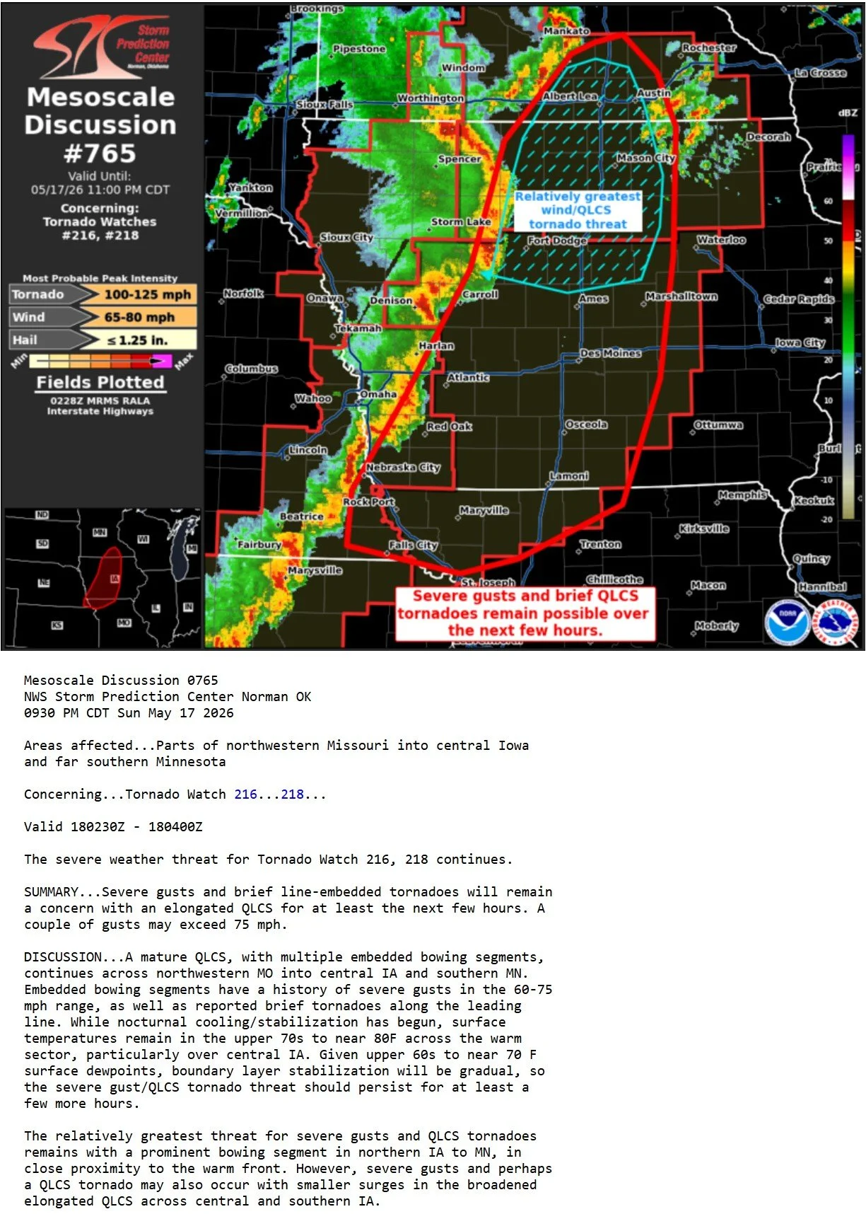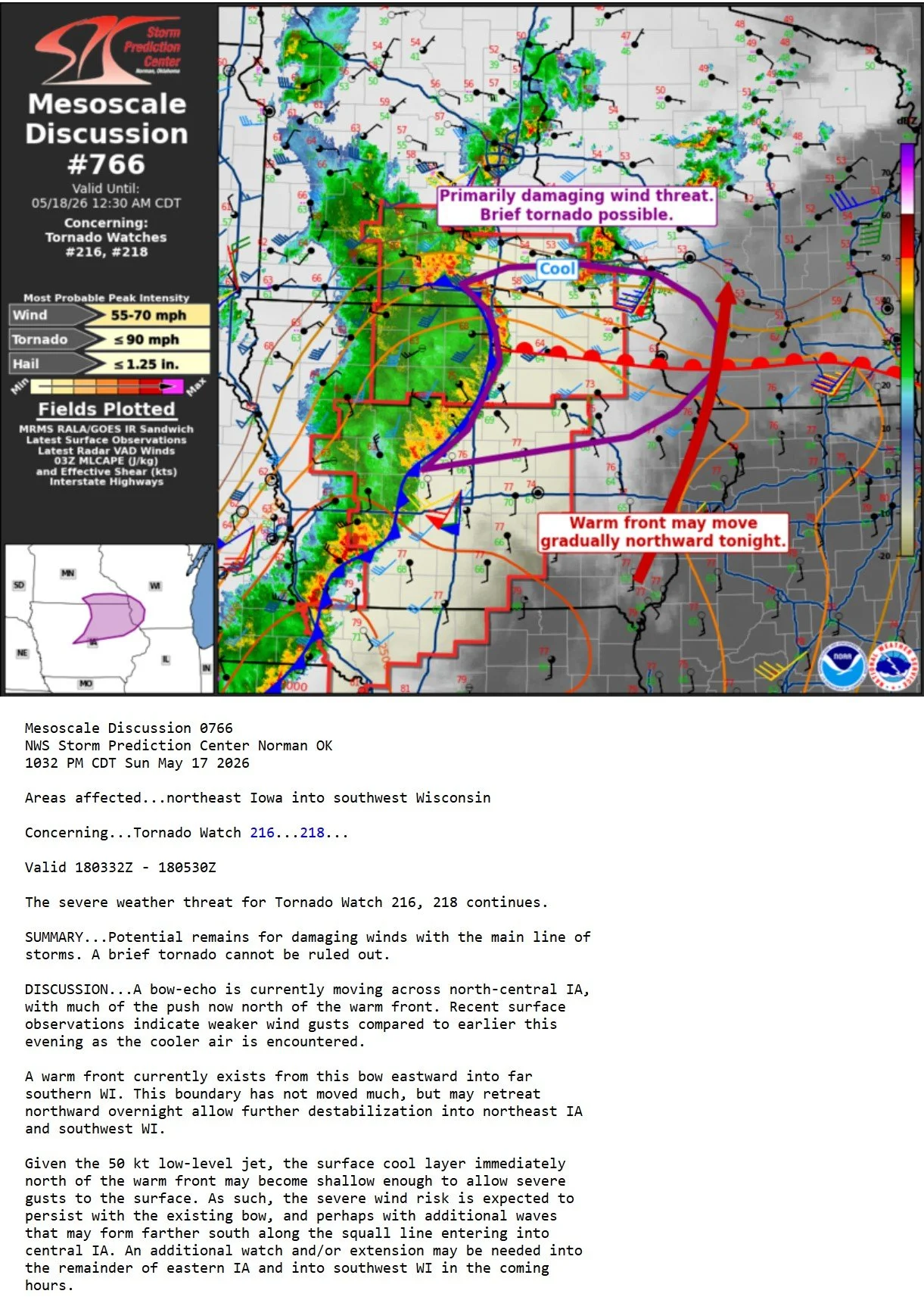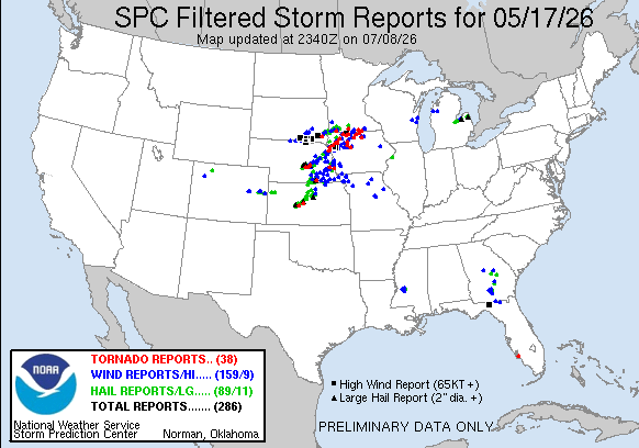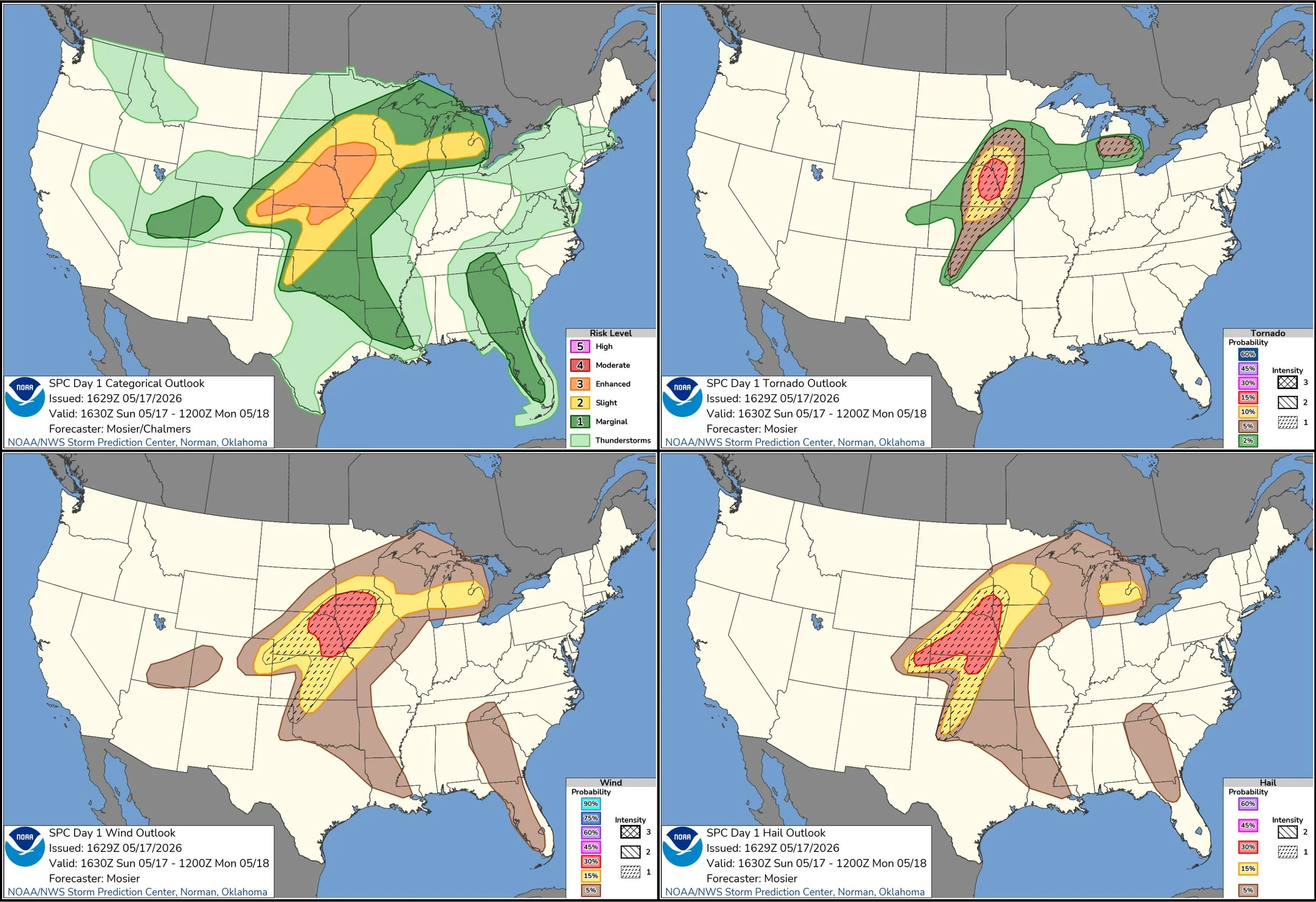
MAY 17, 2026 NE/SD/IA/MN: LONG DURATION INTENSE STORM CLUSTER
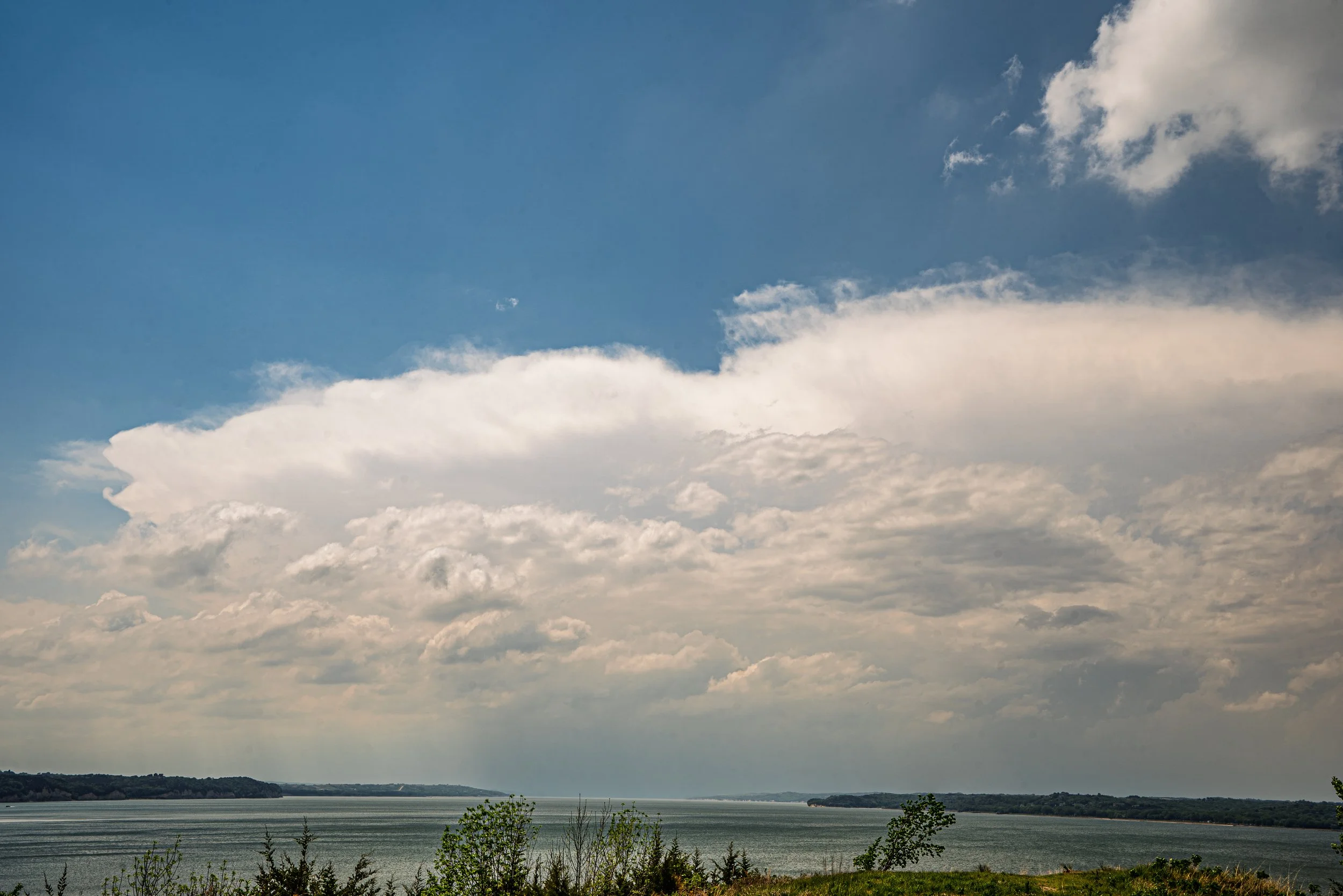
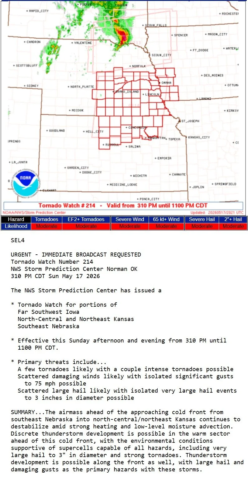
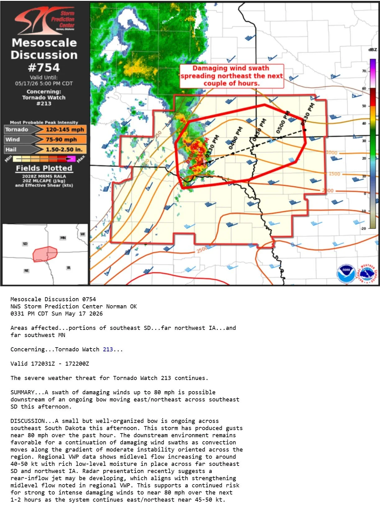
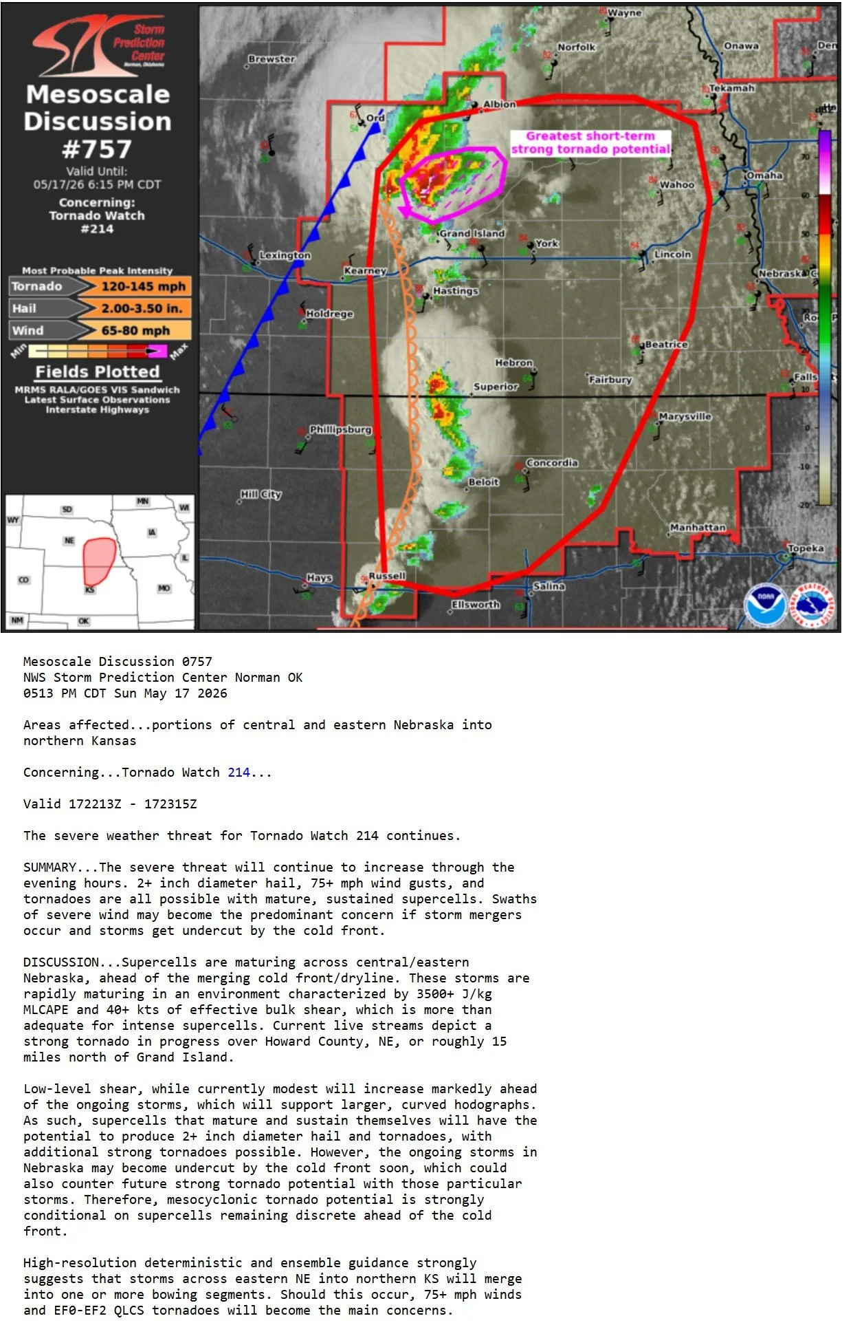
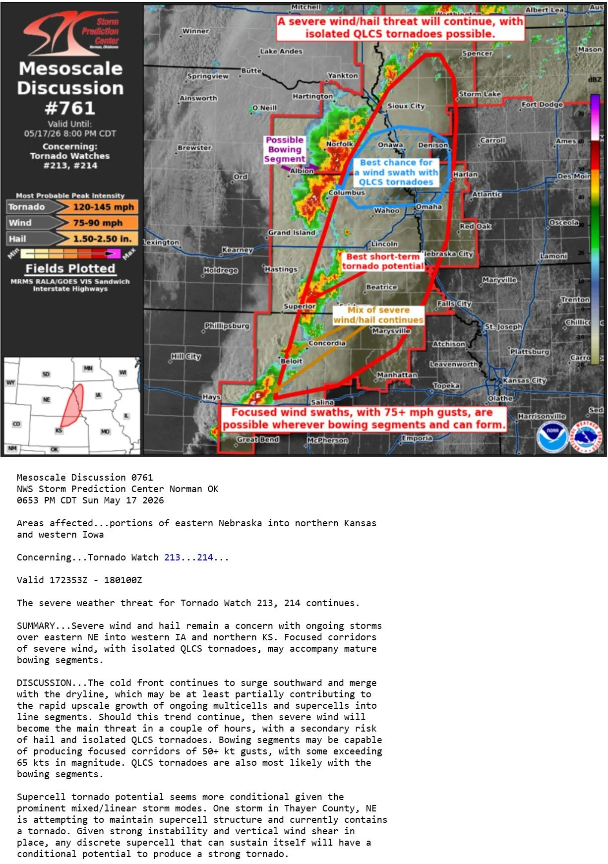
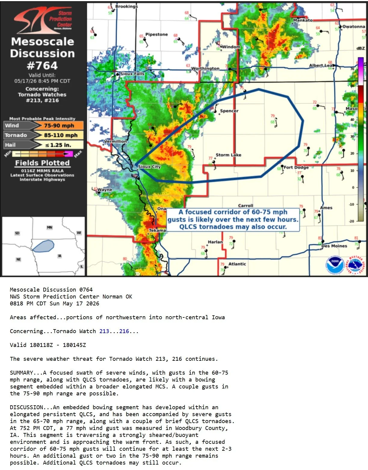
Severe warned cluster of storms moving along the Nebraska/South Dakota border, primarily moving into South Dakota. I wanted to play the southern end of this cluster for supercell characteristics and the best potential at a tornado. Looking west from a lookout on the Missouri River southwest of Yankton, South Dakota.
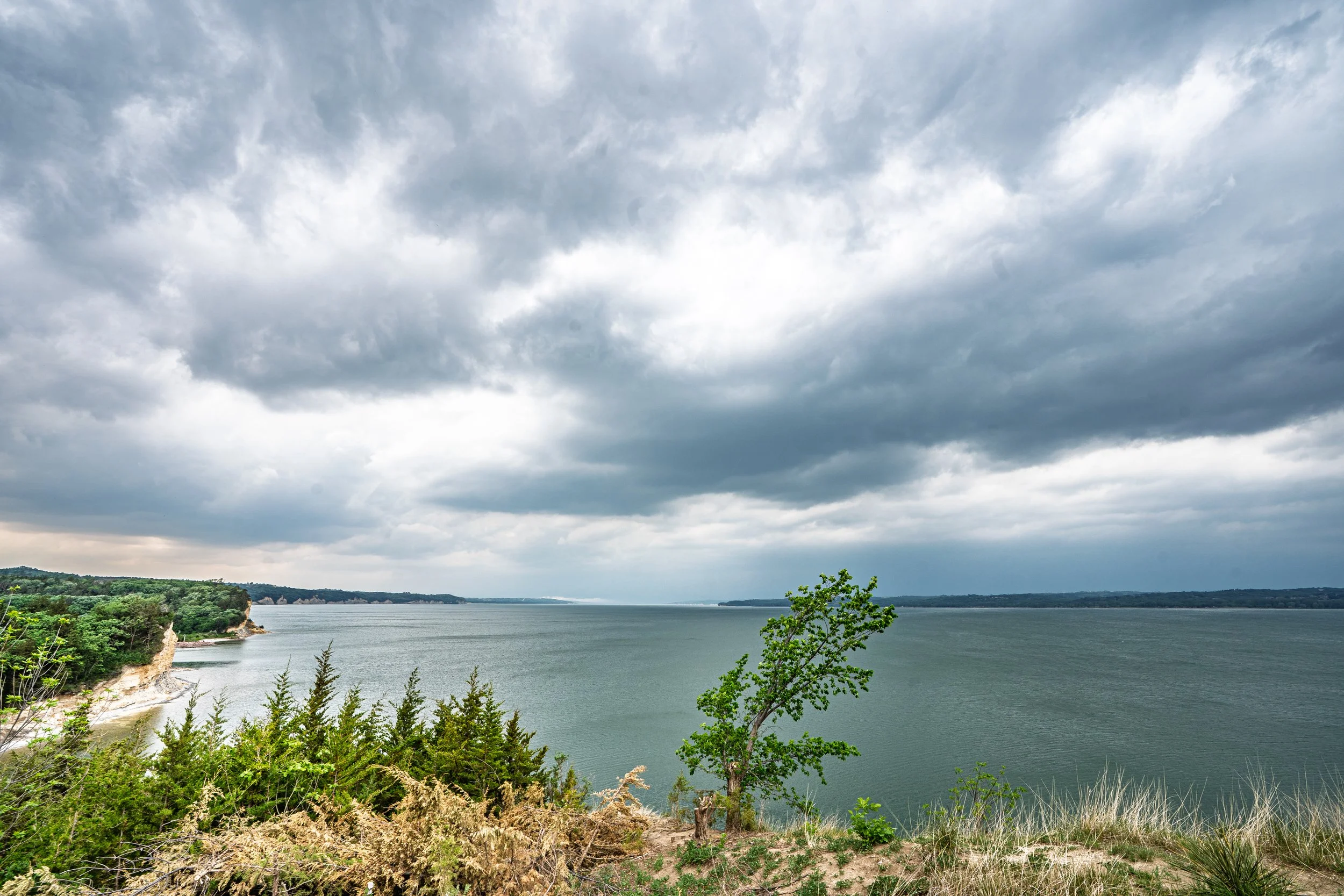
Severe warned storm getting real close now and need to head east to stay ahead. The storm was interacting with a modified outflow boundary that was lifting back north into southeast South Dakota from Nebraska.
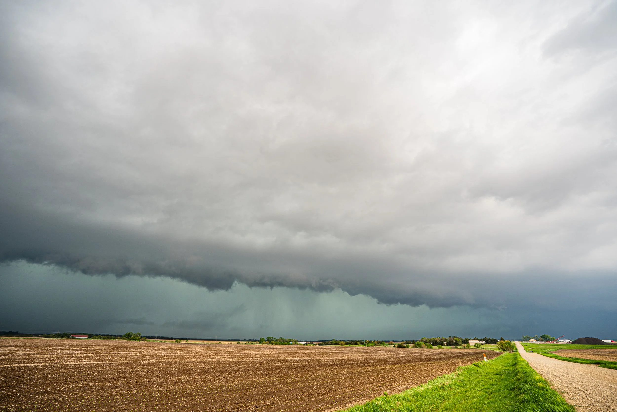
Shelf cloud indicating outflow winds already as the storm approached Volin, South Dakota.
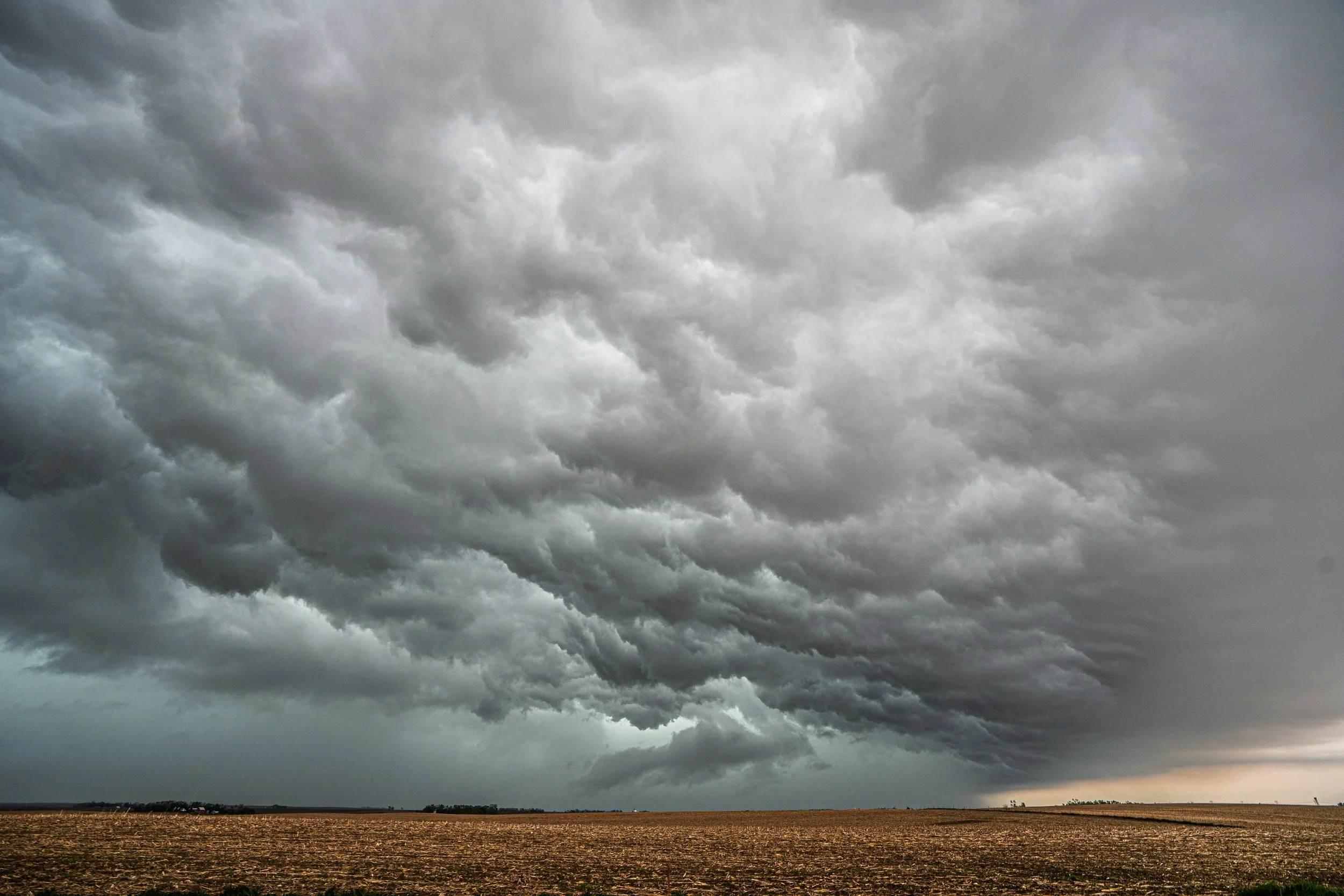
Whale’s mouth underneath the shelf cloud near Beresford, SD while I was repositioning and staying ahead. New cells developing at this point to my south to keep an eye on but mainly trying to stair step north and east with this thing for now.
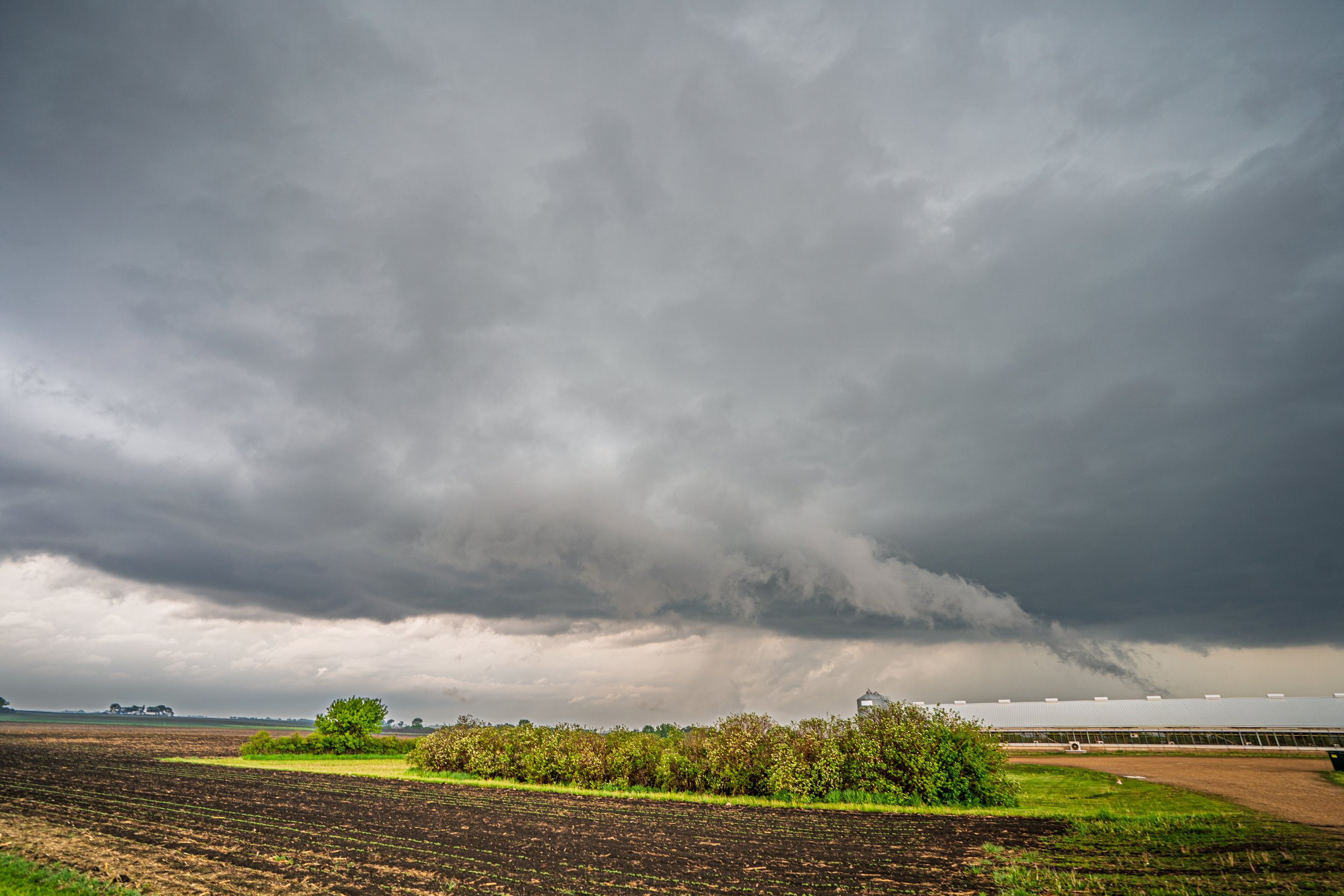
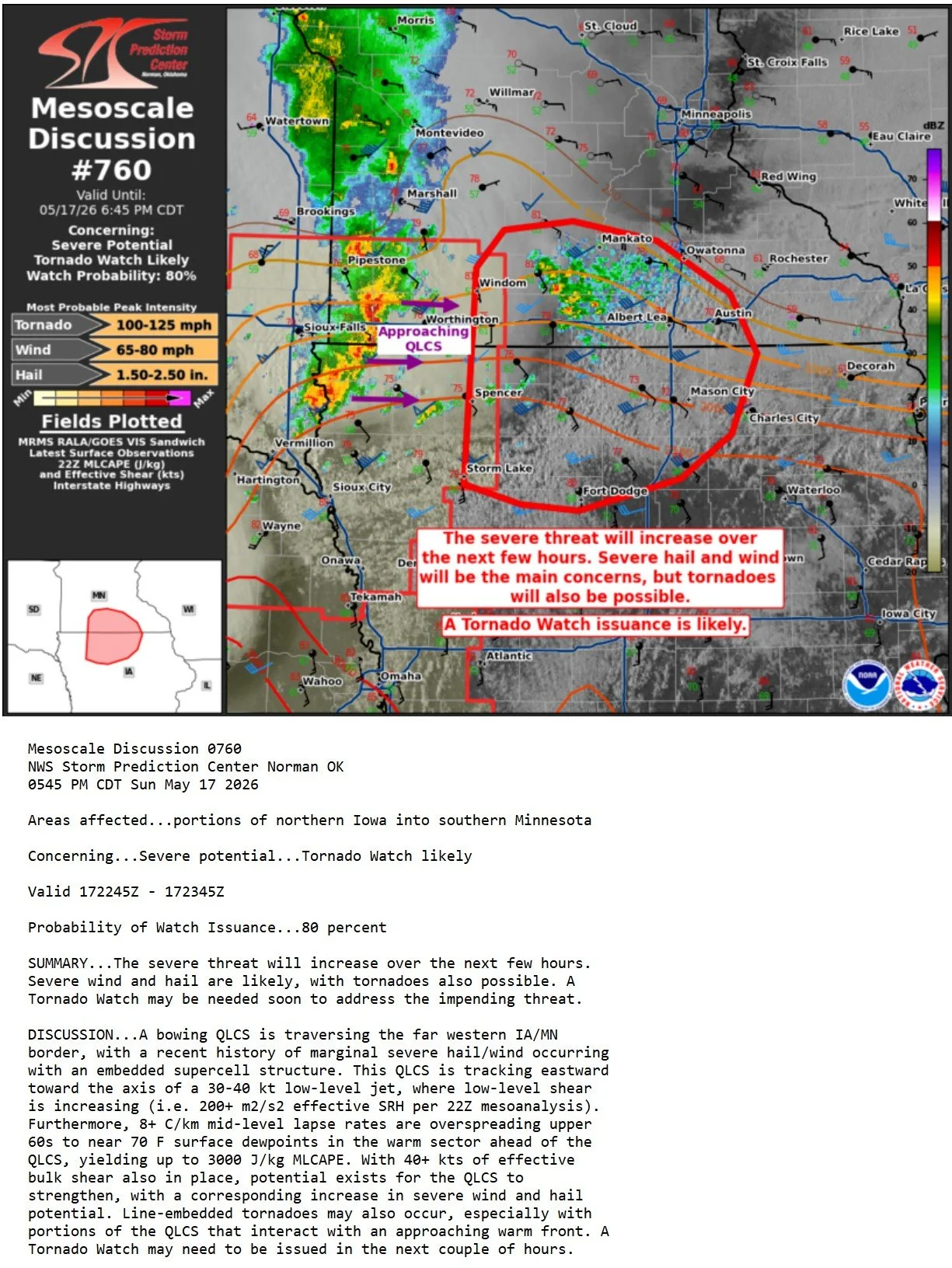
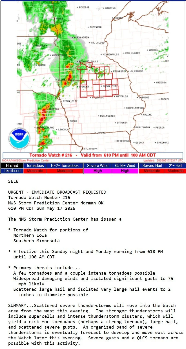
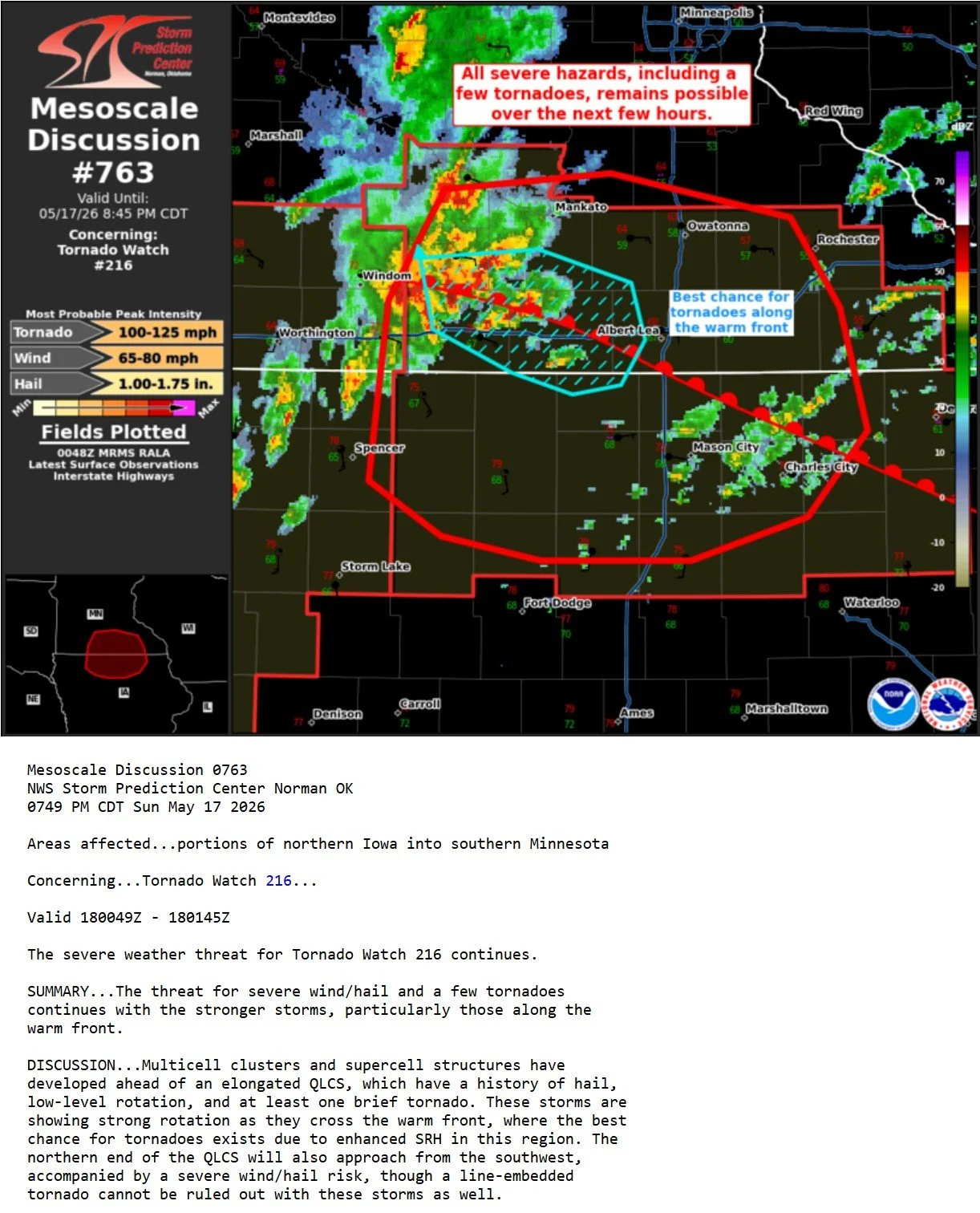
Got out ahead and on a new storm by Estherville, Iowa that was ahead of the line and quickly forming a wall cloud as the storm strengthened and slowly moved towards the Minnesota border.
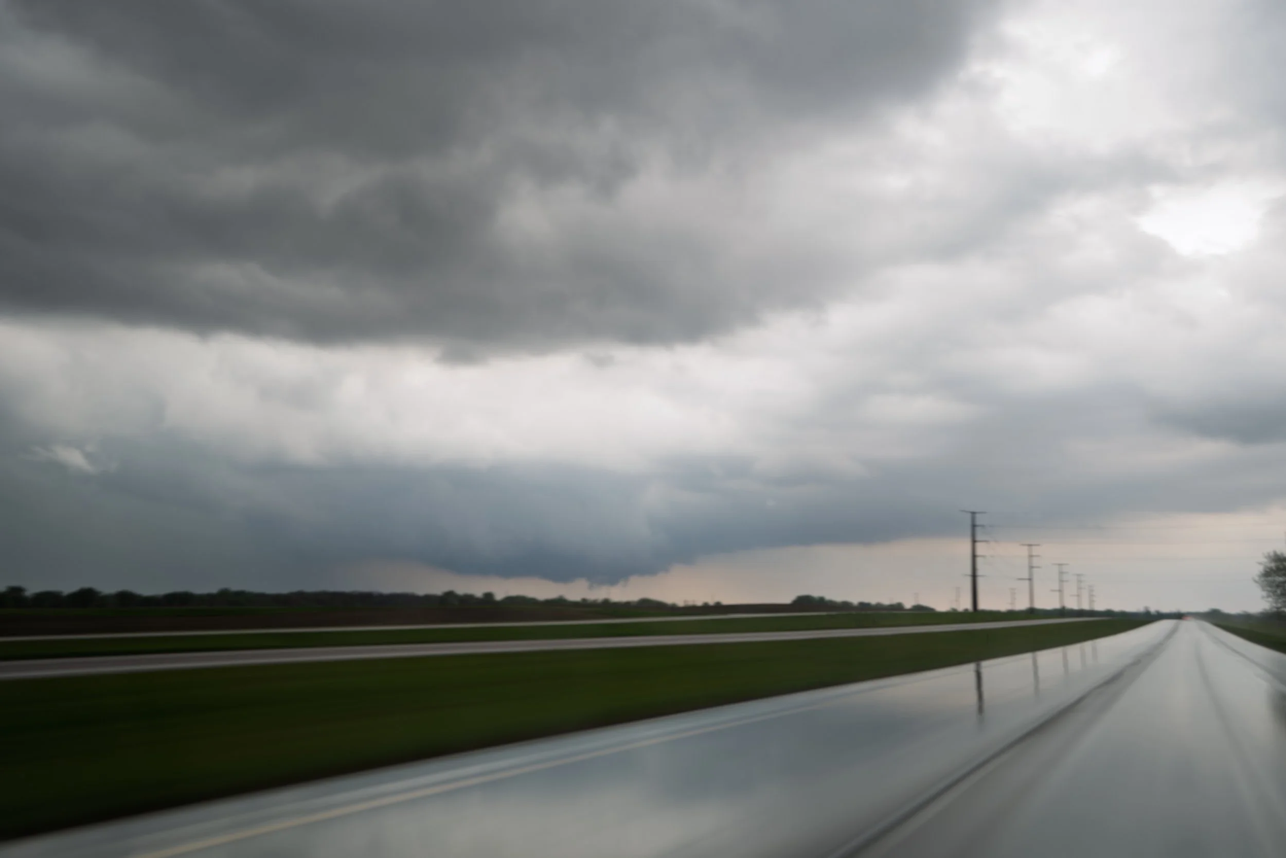
Blasted back up to I-90 and turned east near Sherburn, Minnesota to see a low hanging wall cloud that has condensing fingers into it in the distance. This was the best attempt all chase to seeing a tornado.
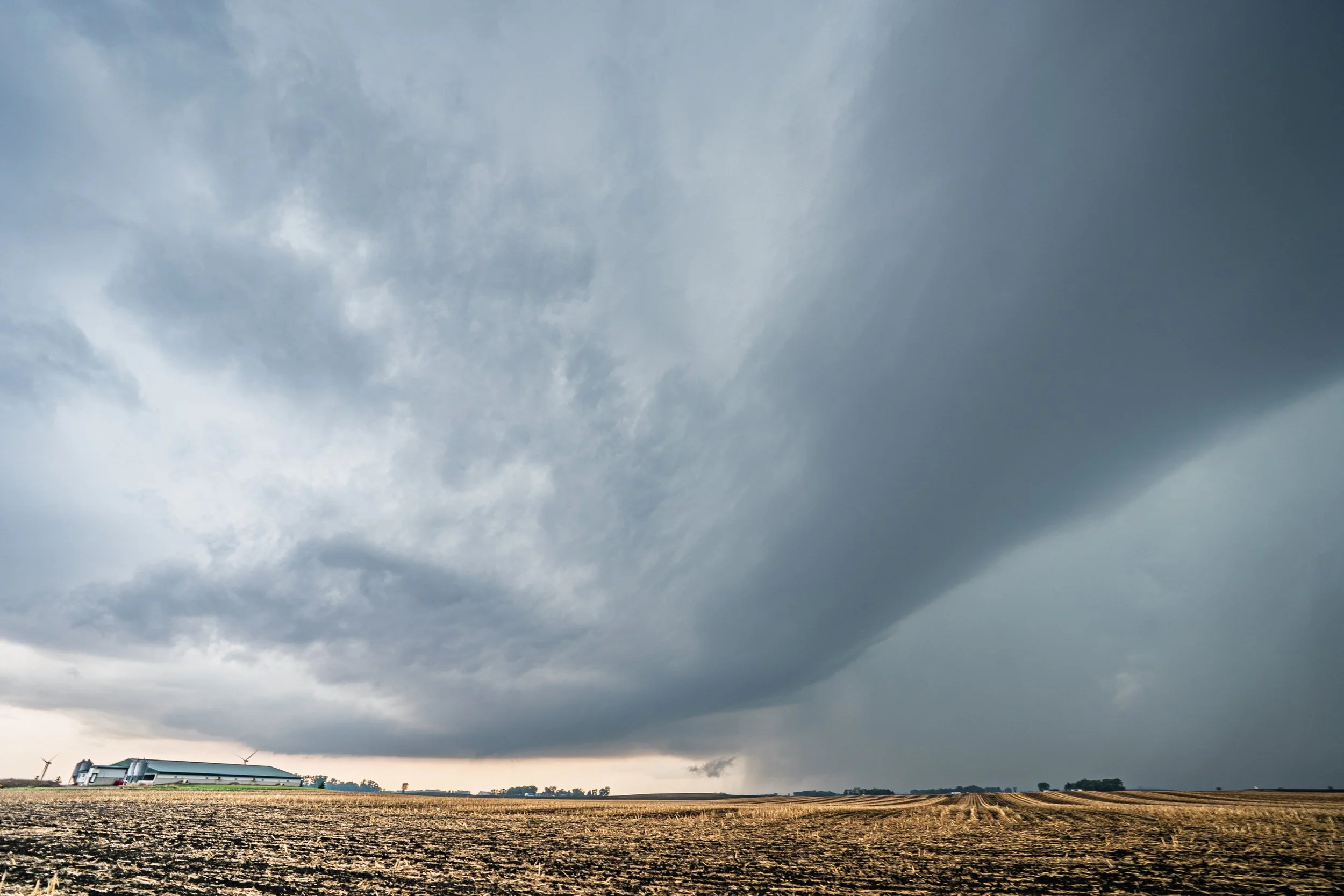
Storm still looking interesting with condensing scud into the action area, but it has certainly lost a lot of the wall cloud here and starting to get that shelf cloud look on the northern edge.
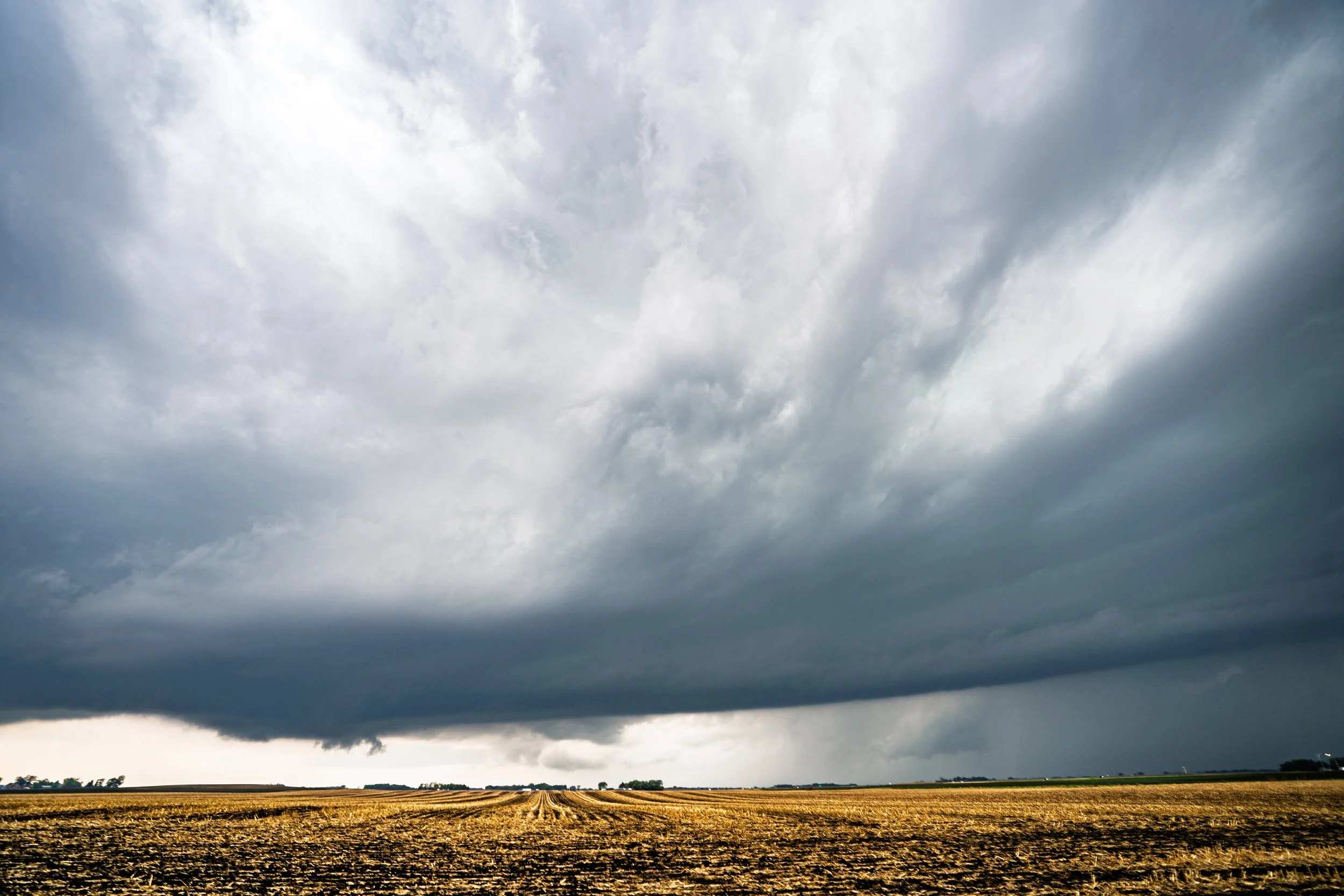
Severe warned storm by Winnebago still looking strong and holding onto the structure. I like this shot mainly for the inflow banding into the storm, the contrast, and the wall cloud with scud continuing to rise into it.
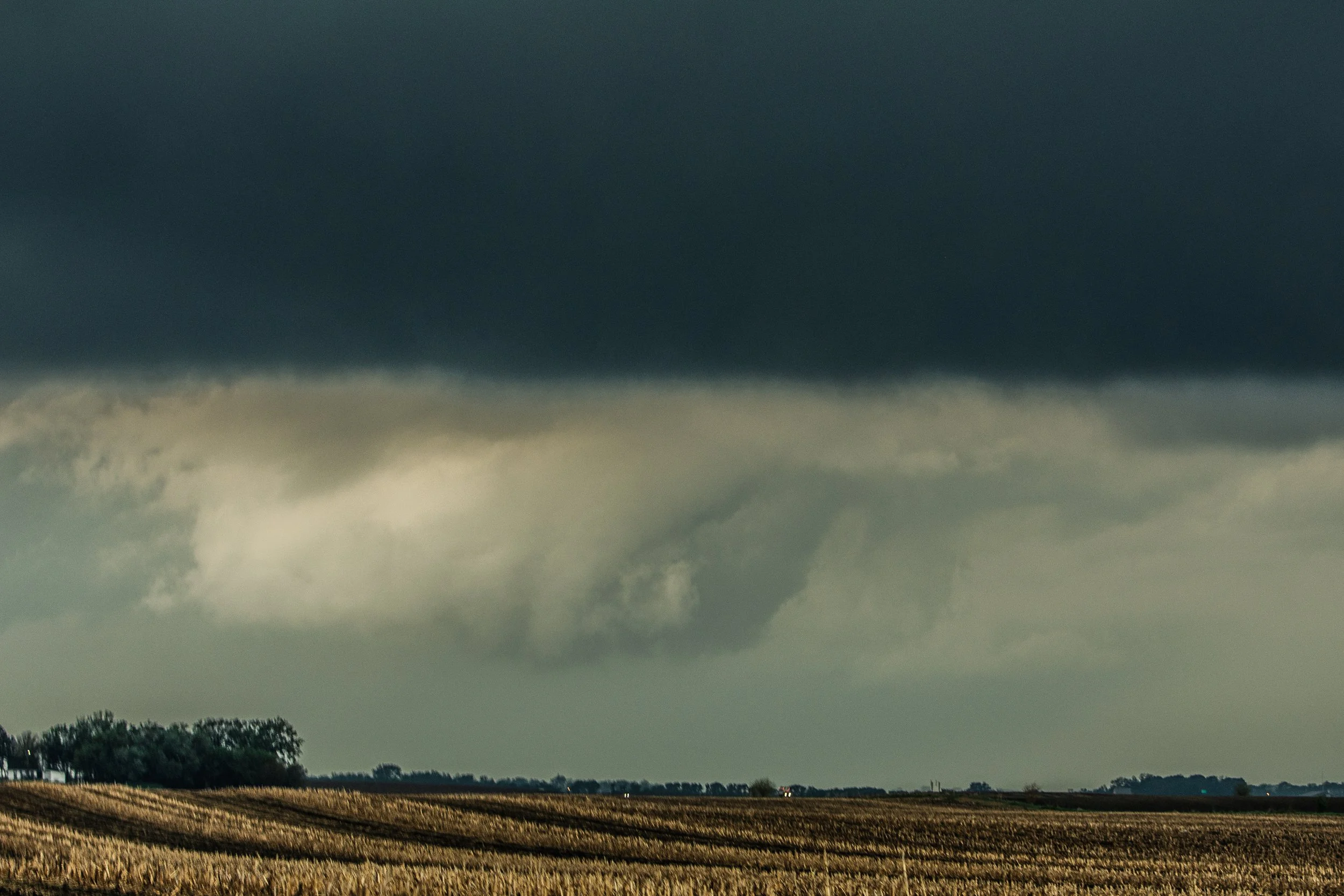
Can see the wall cloud to the west on another storm near Fairmont here at 7:47pm. Actually looks better than the storm I am on!
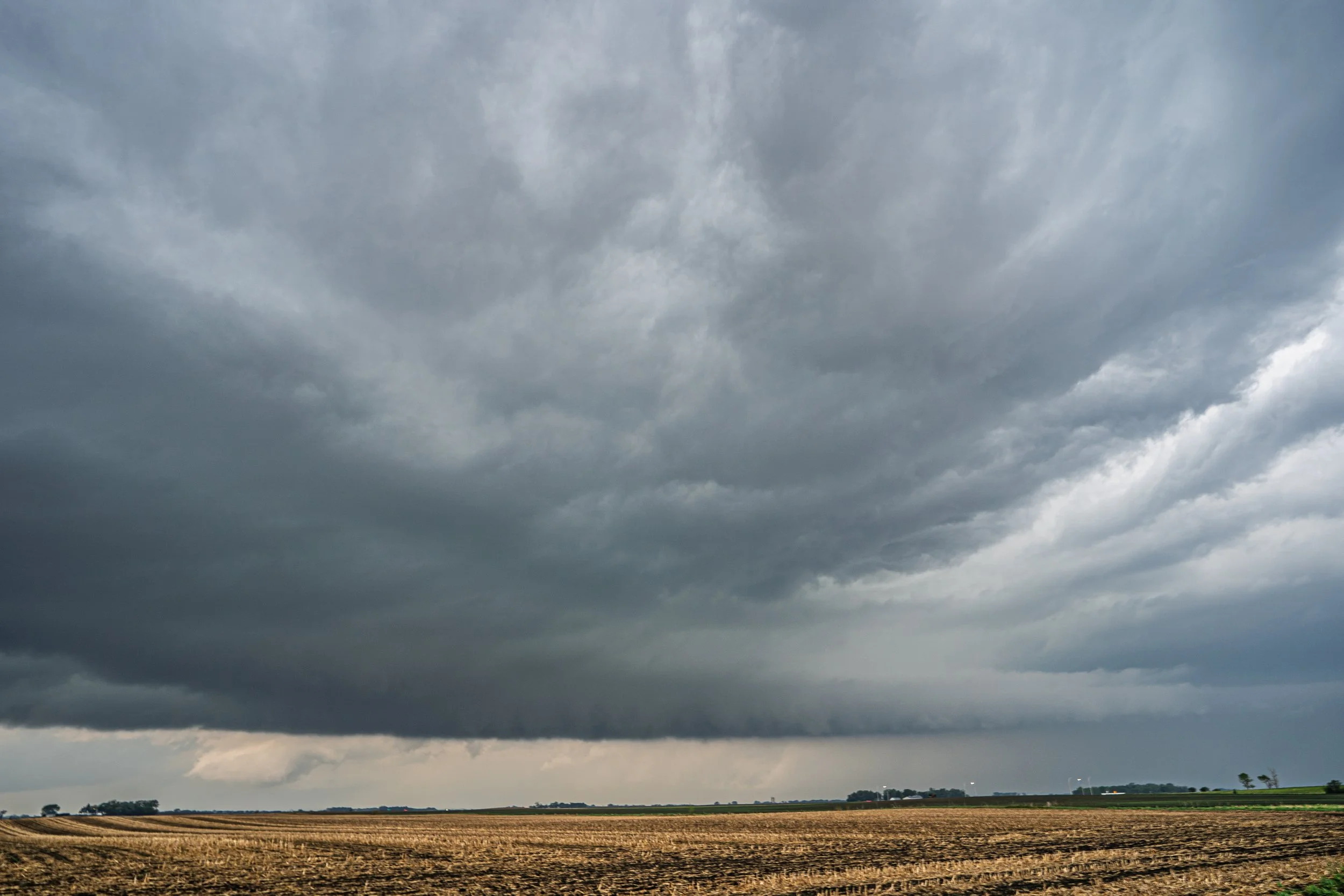
A short while later the storm still holding onto some structure with a decent tail cloud near Winnebago. Can still see the wall cloud on the Fairmont storm behind it but not looking quite as good as it had.
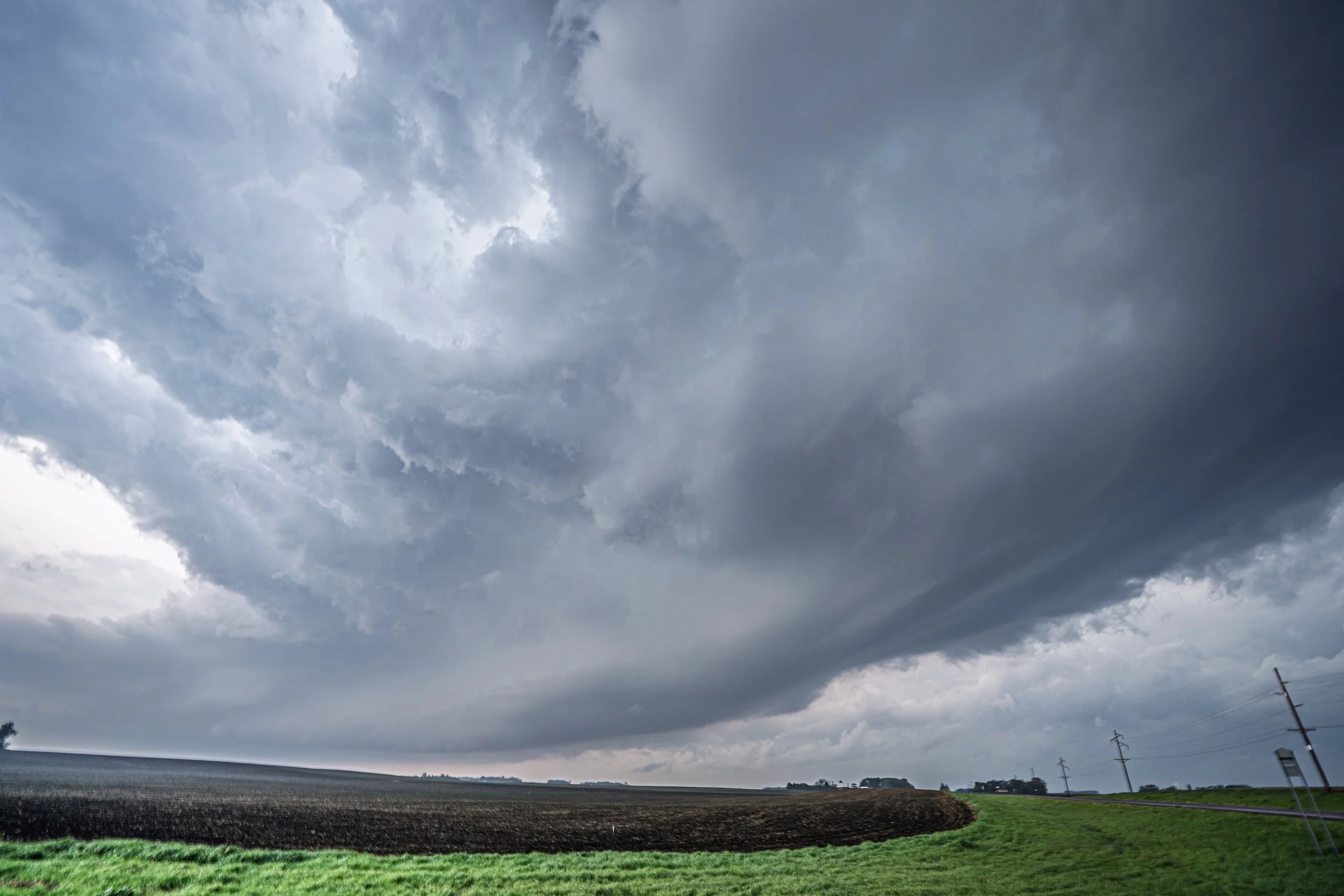
Continuing to chase this storm (still severe warned) northeast to Mapleton, Minnesota.
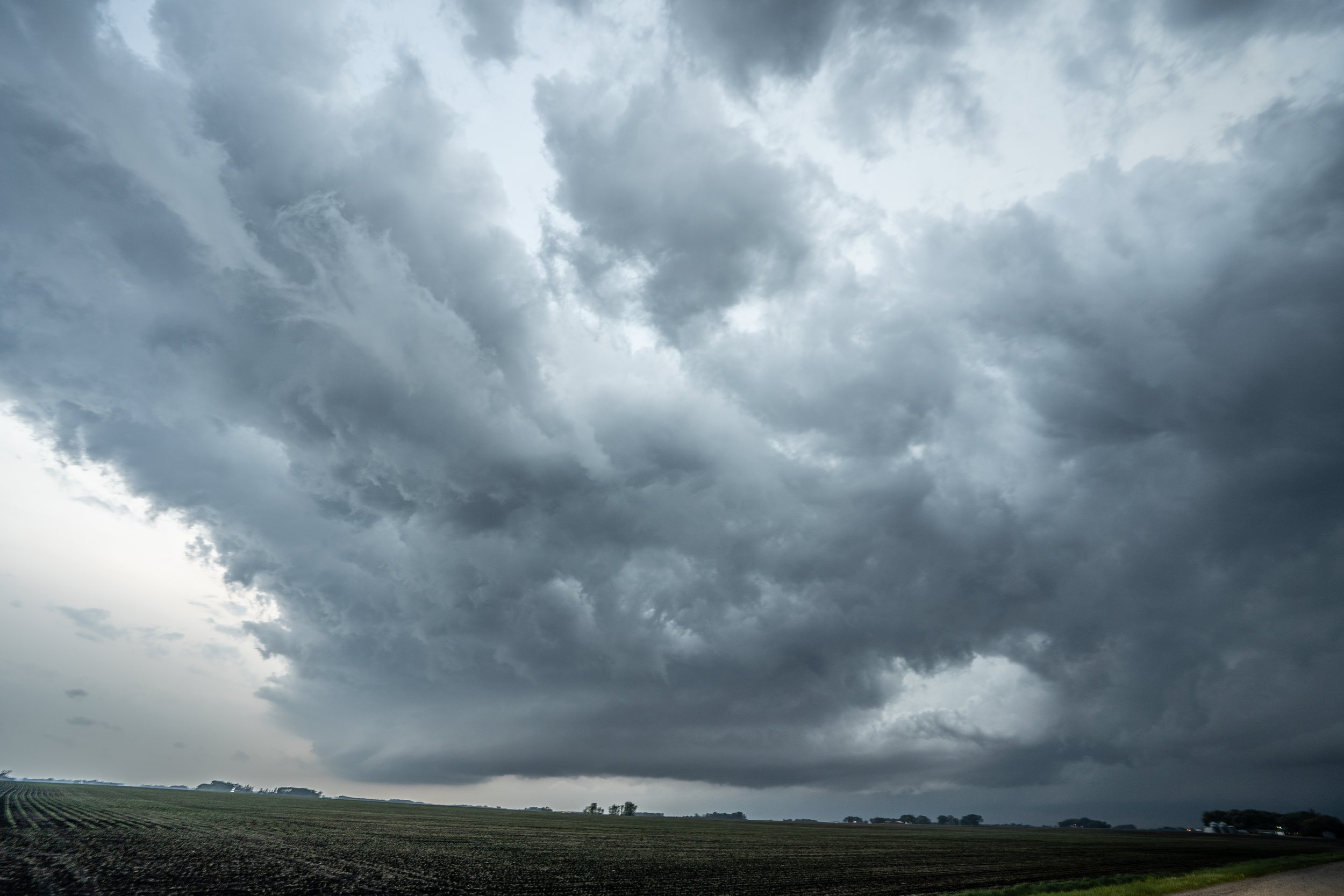
Not bad storm structure here at all looking southwest of Mapleton as the tail end storm updraft started to take over and exhibit supercell characteristics.