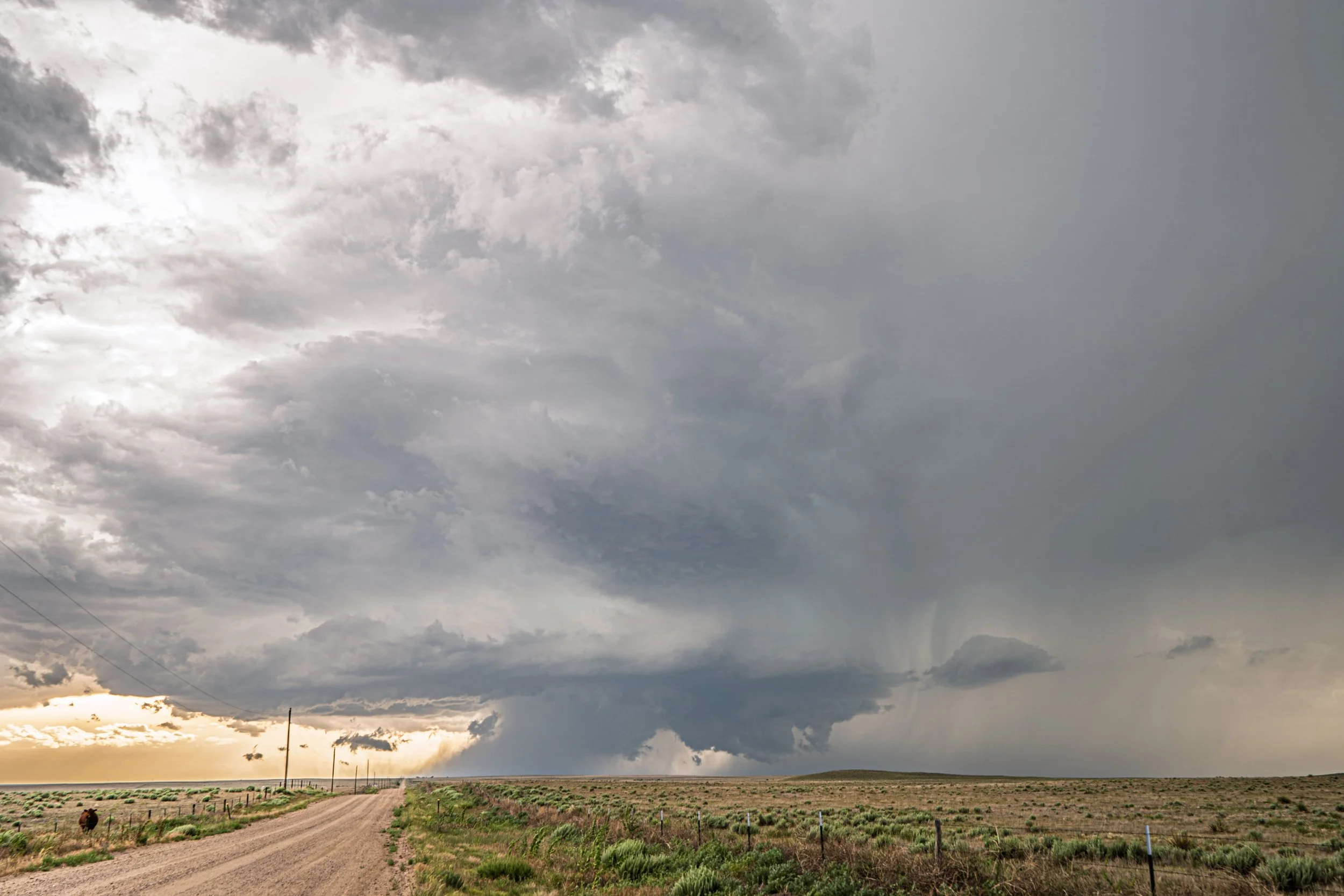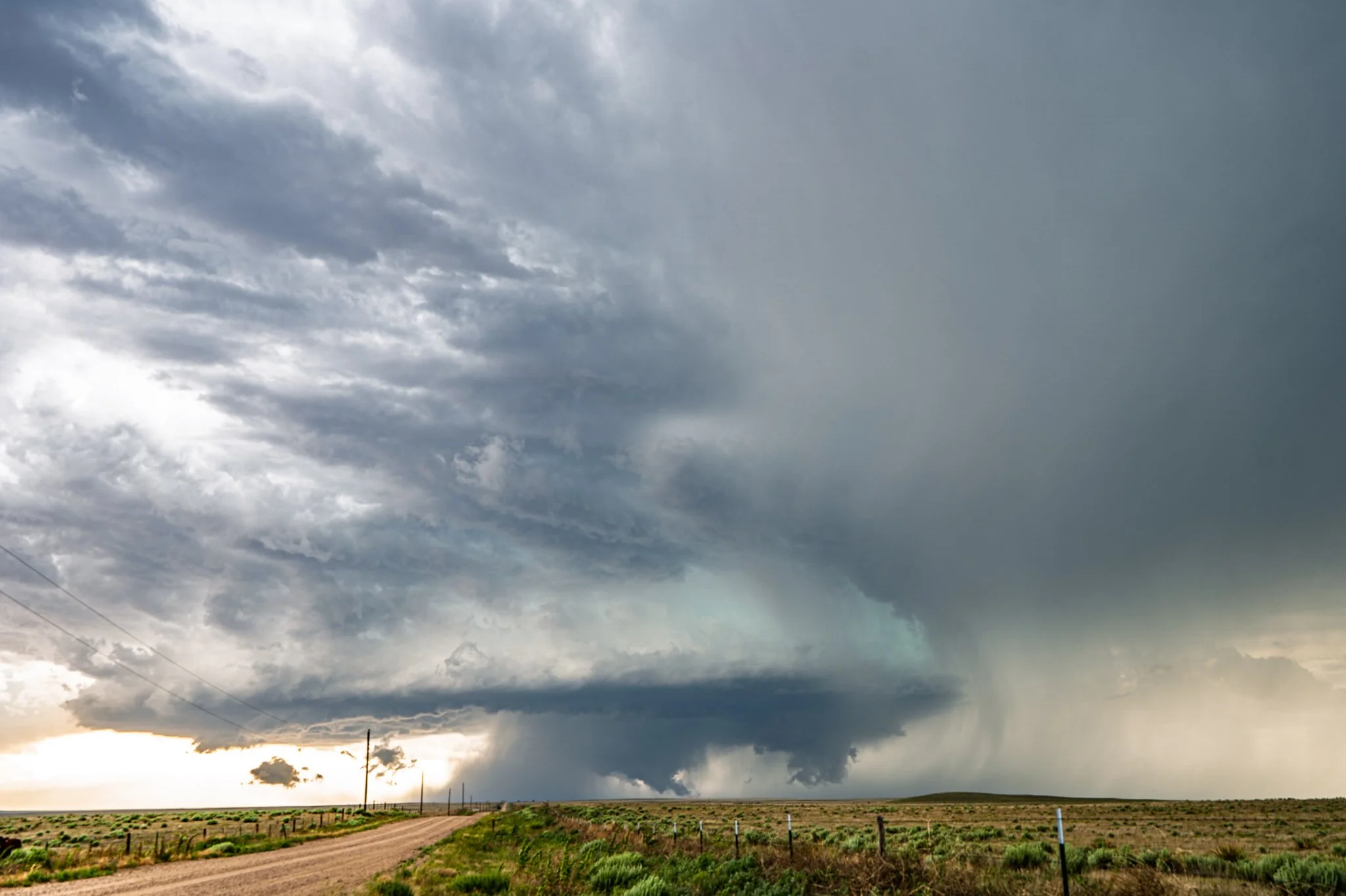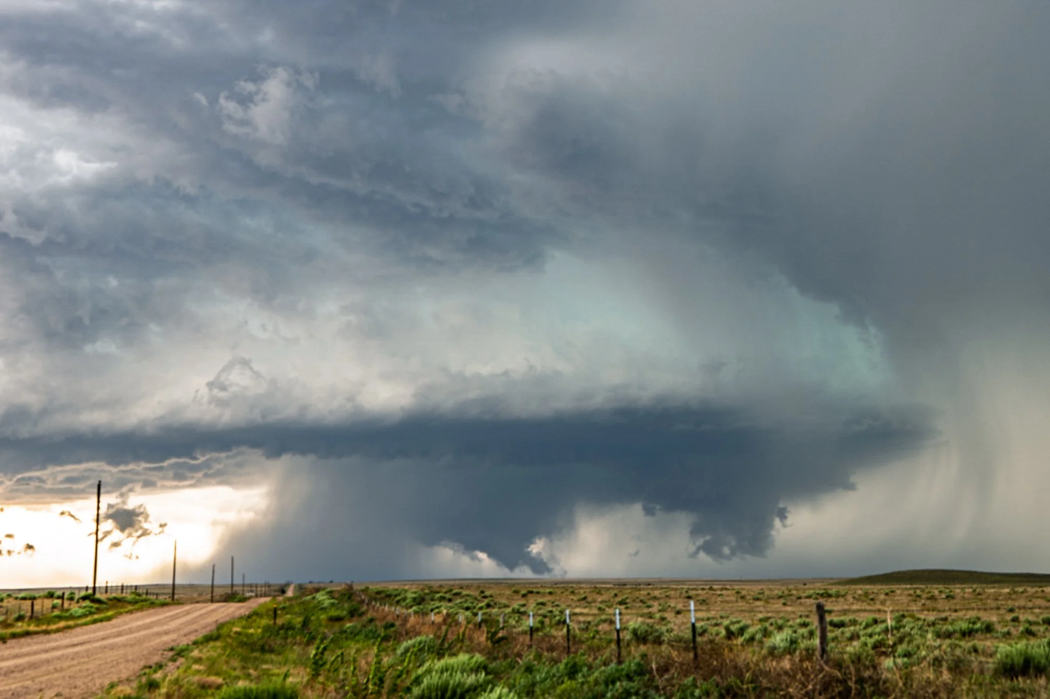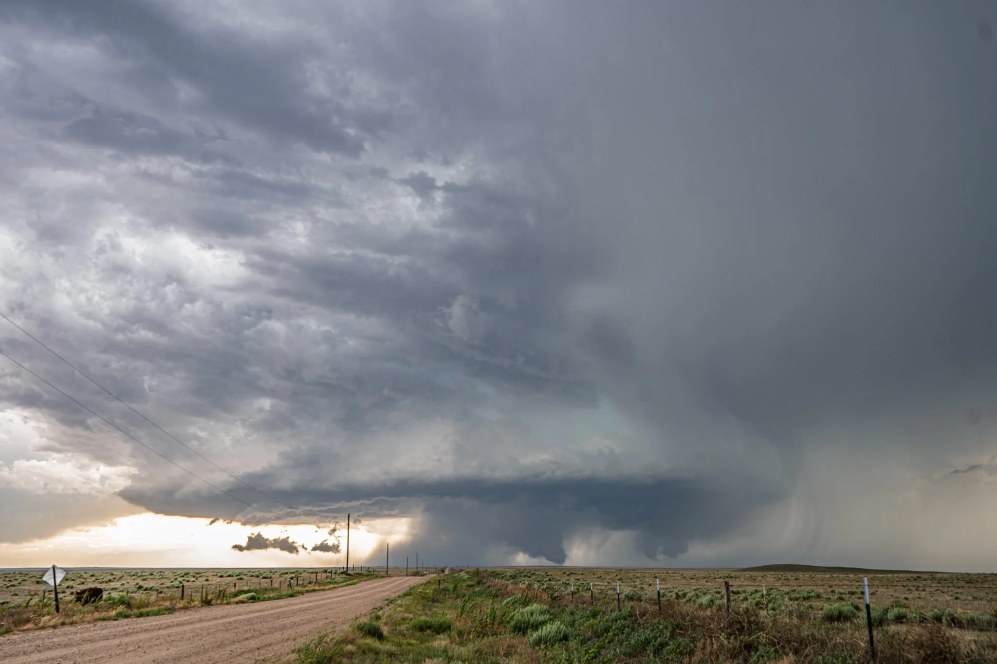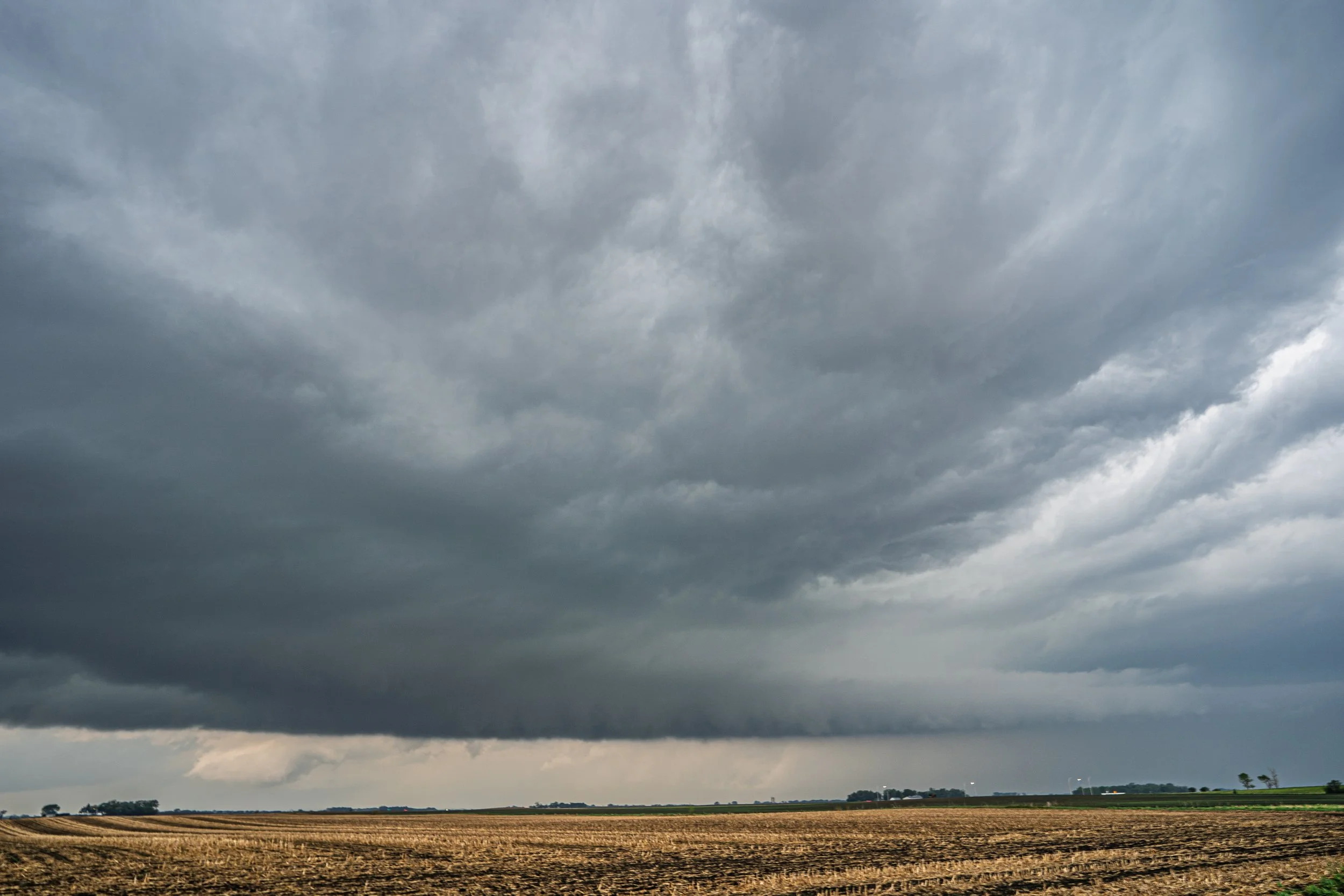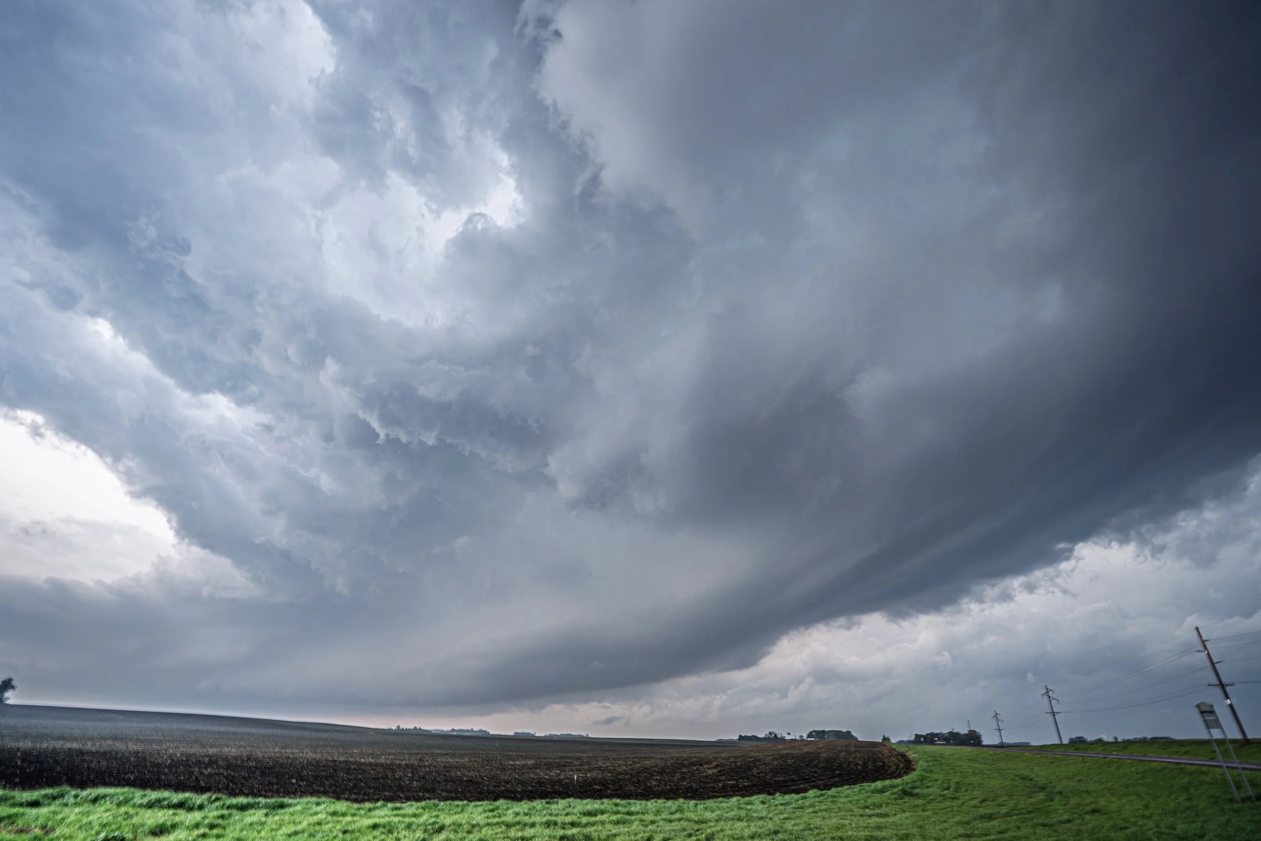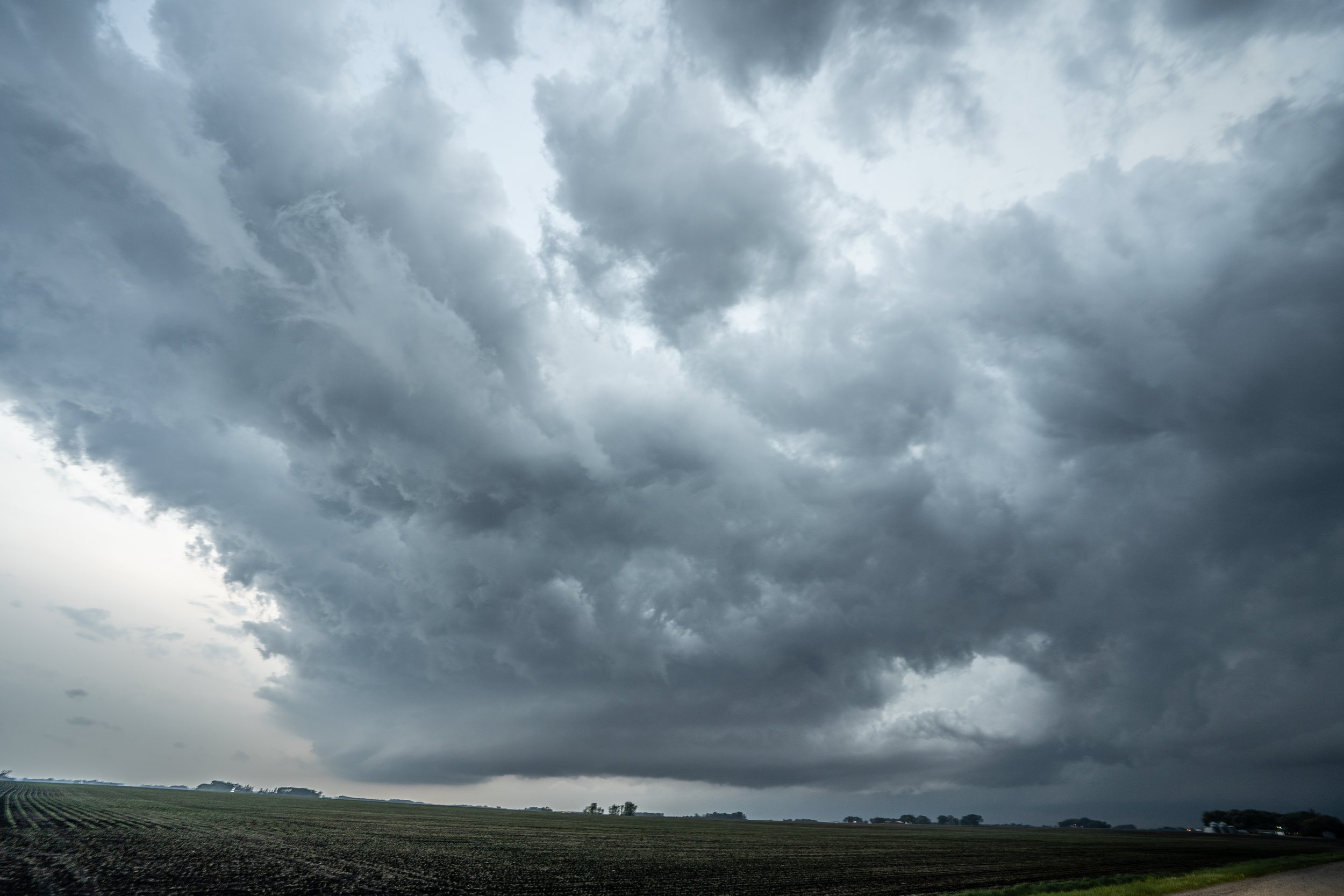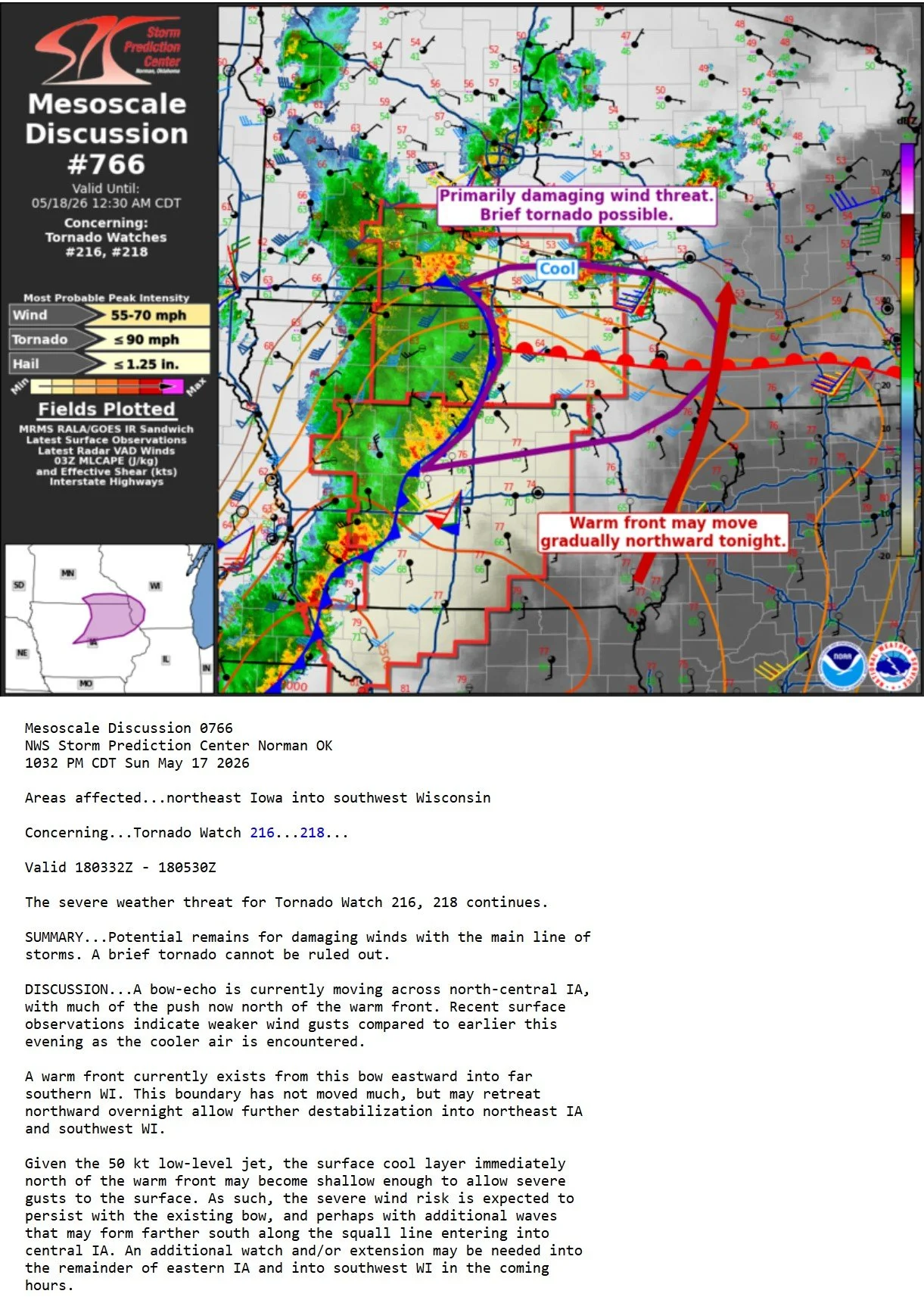
APRIL 17, 2026 MINNESOTA: TORNADO NEAR ROCHESTER


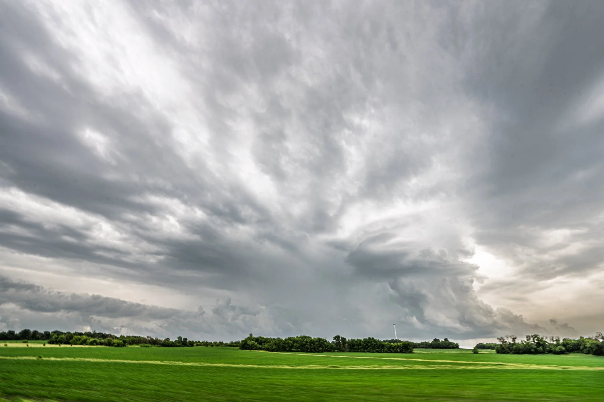
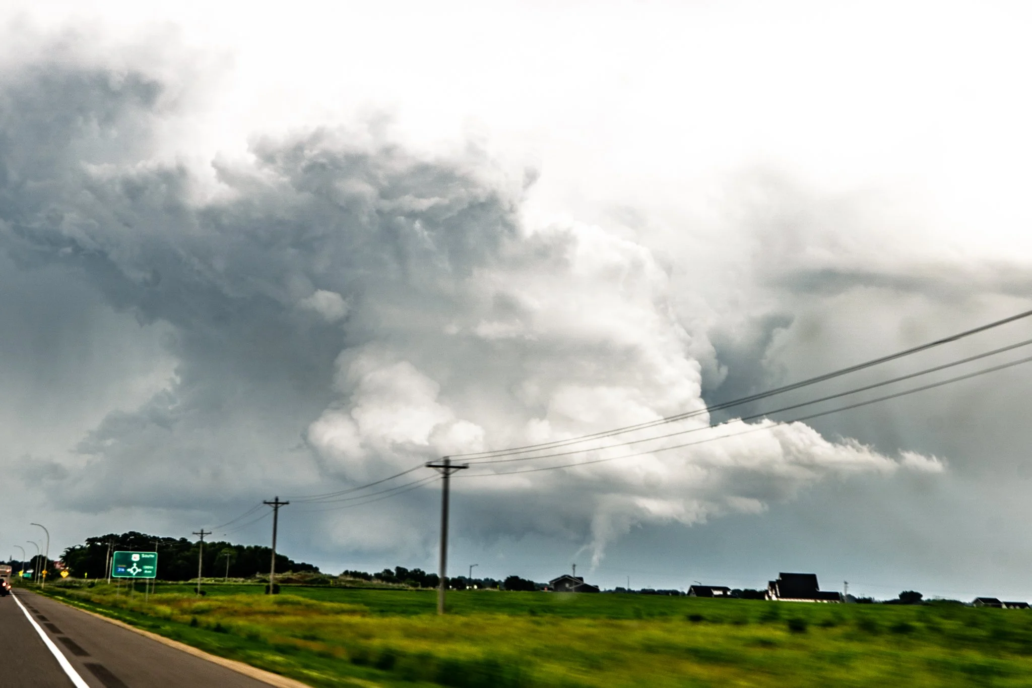
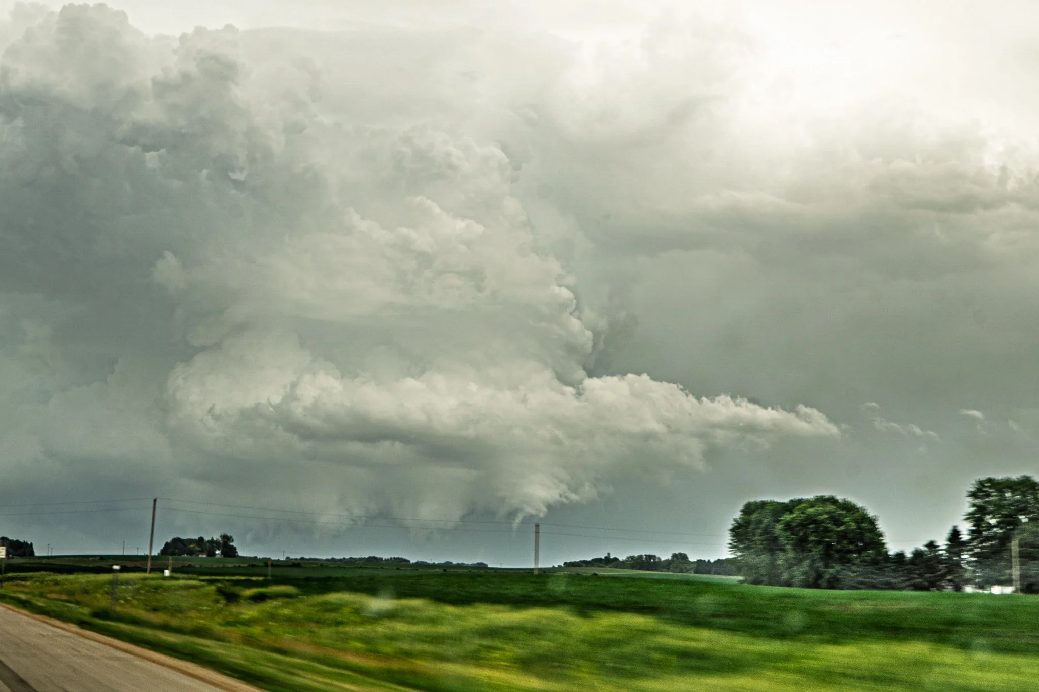
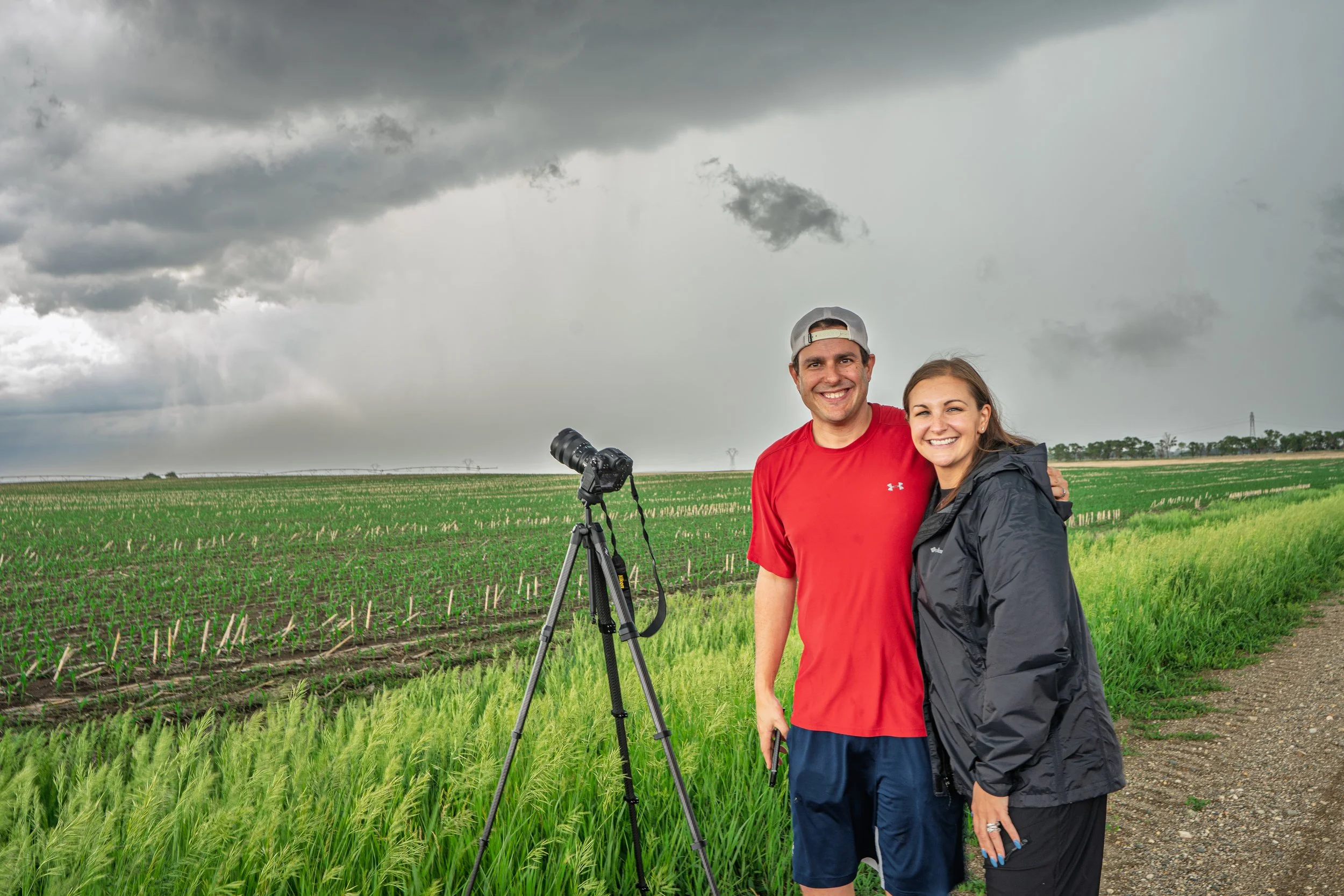
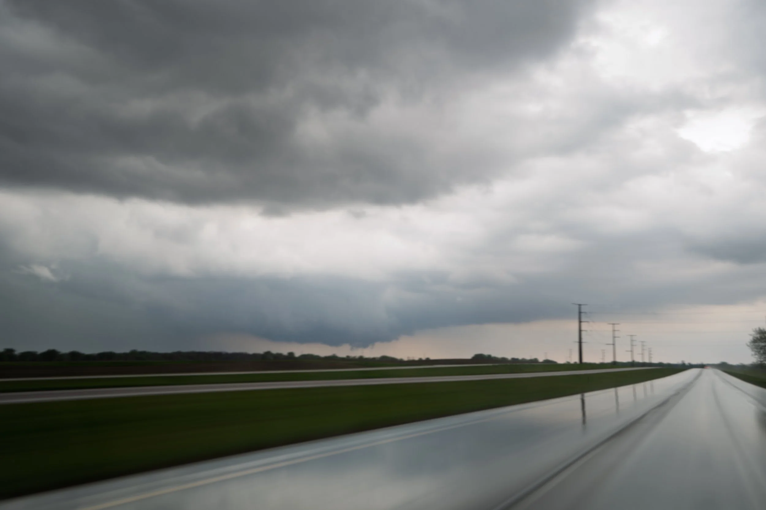
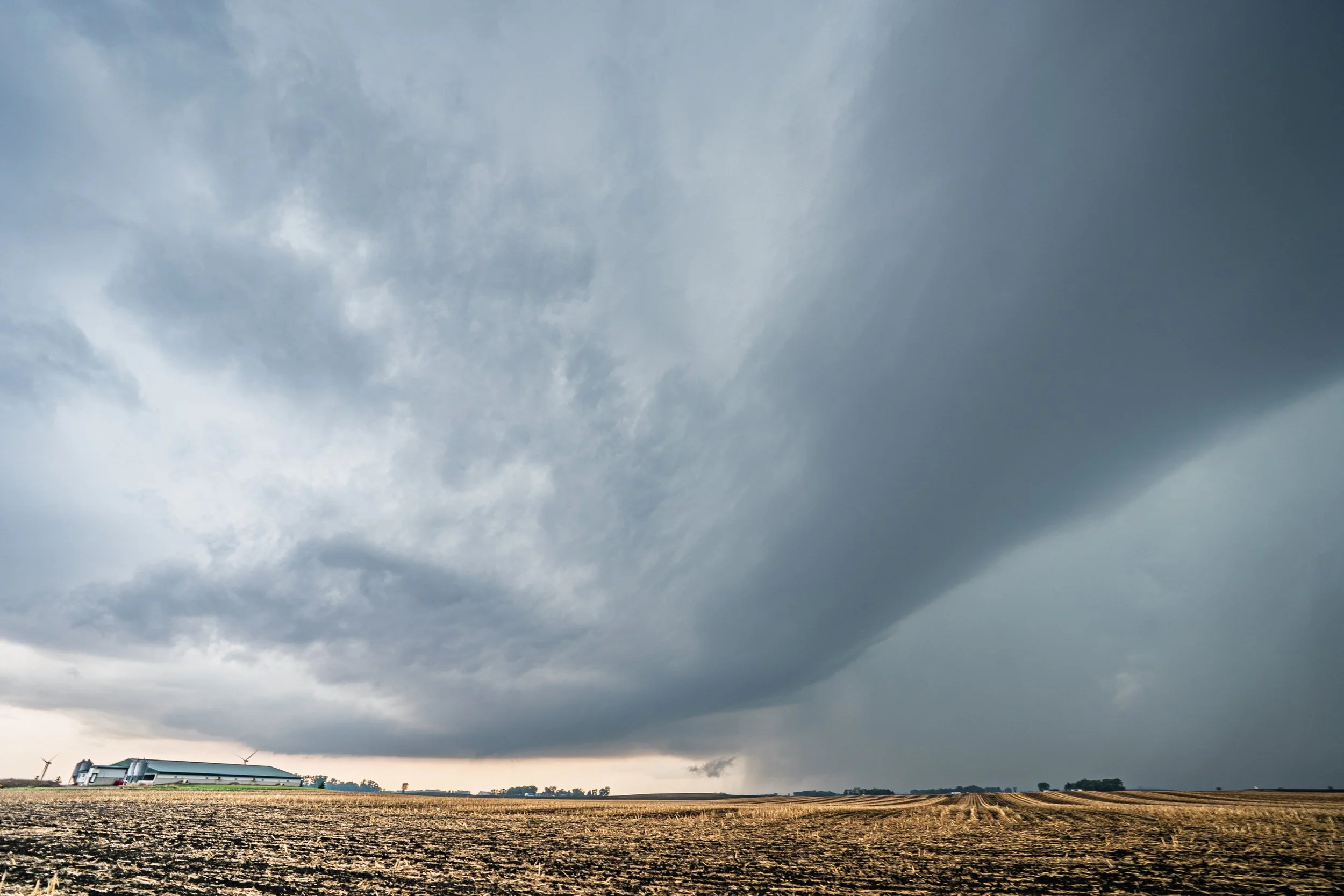
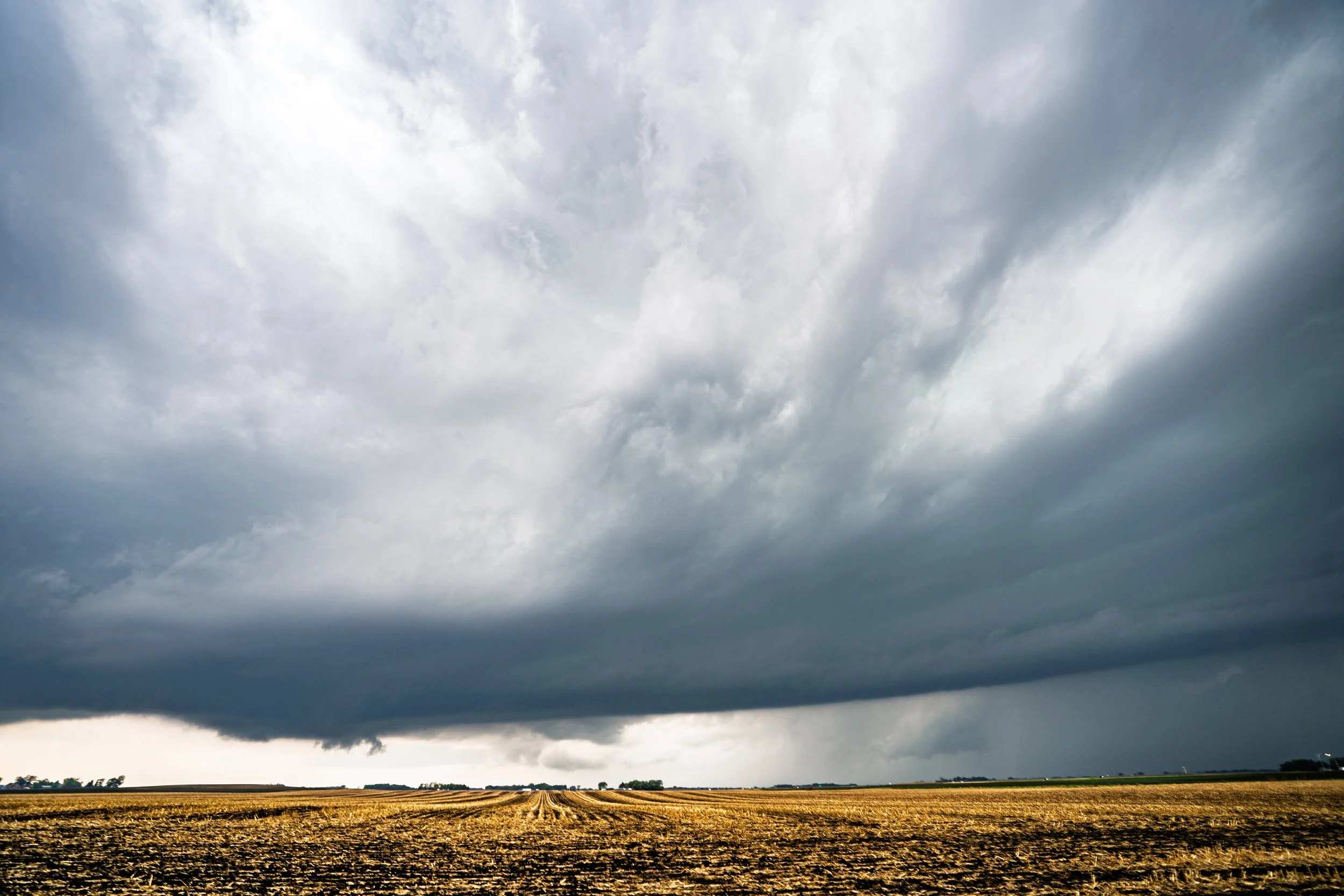
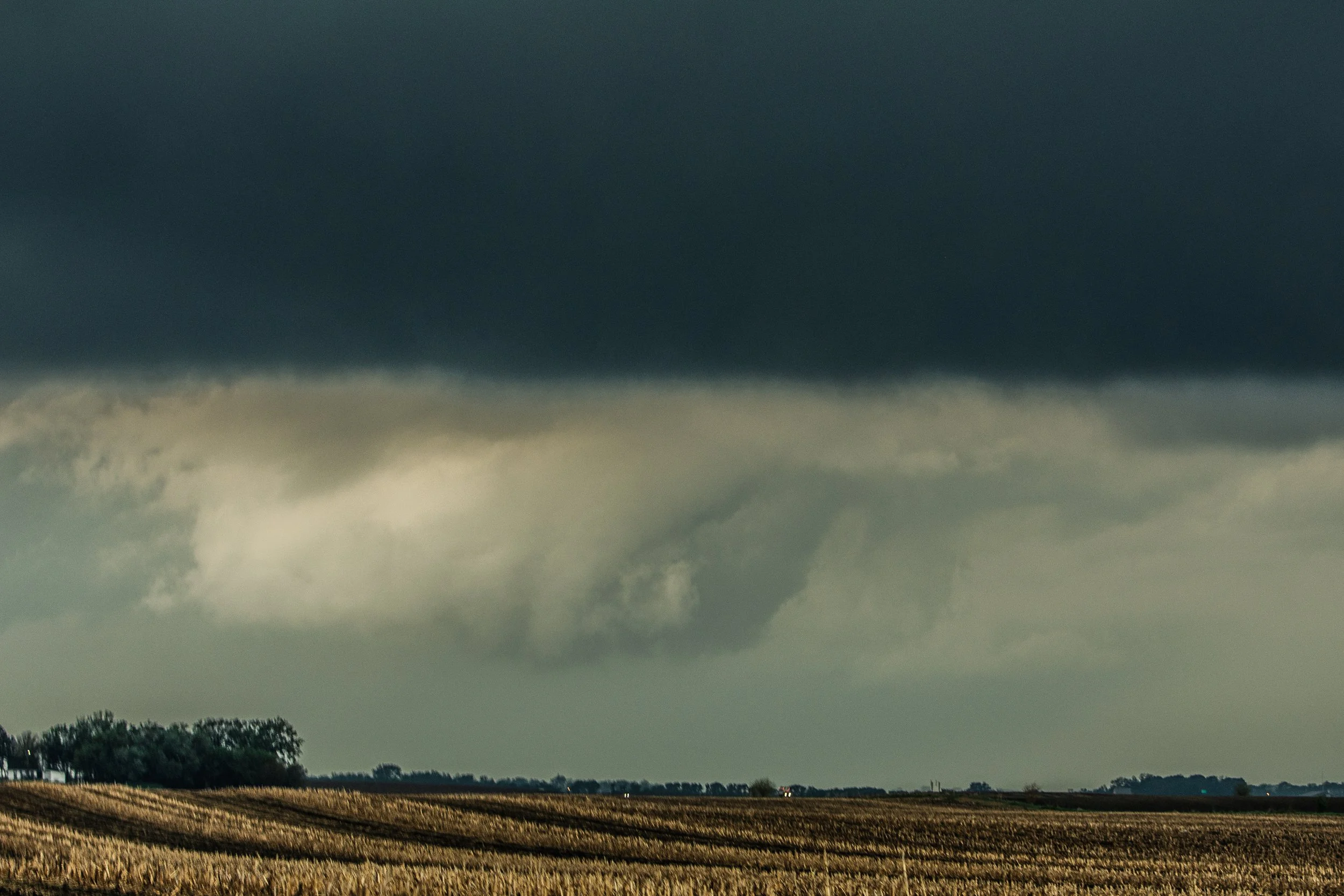
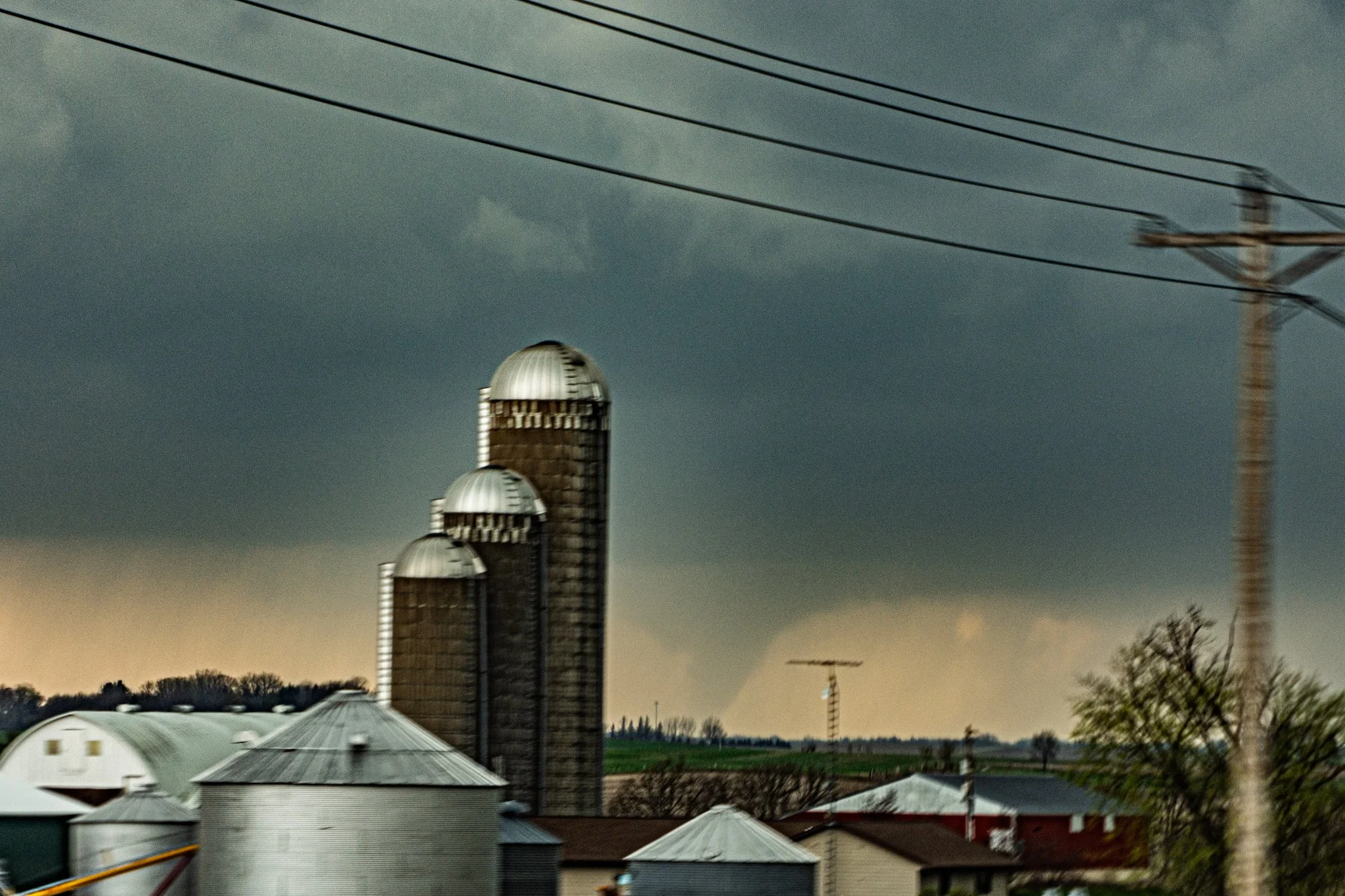
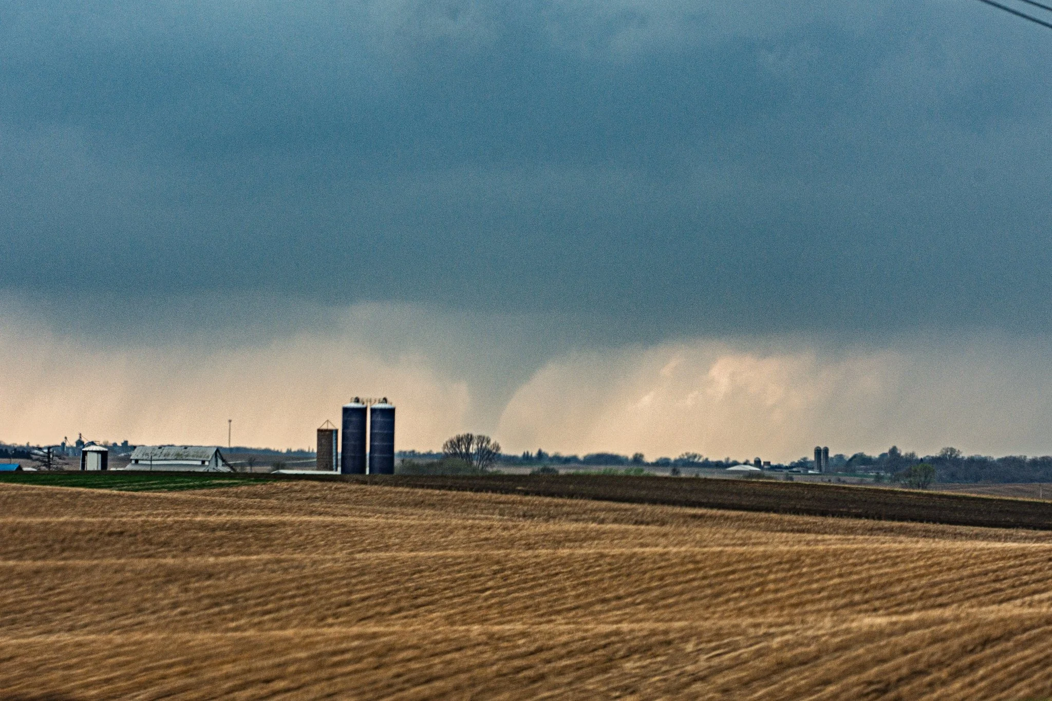
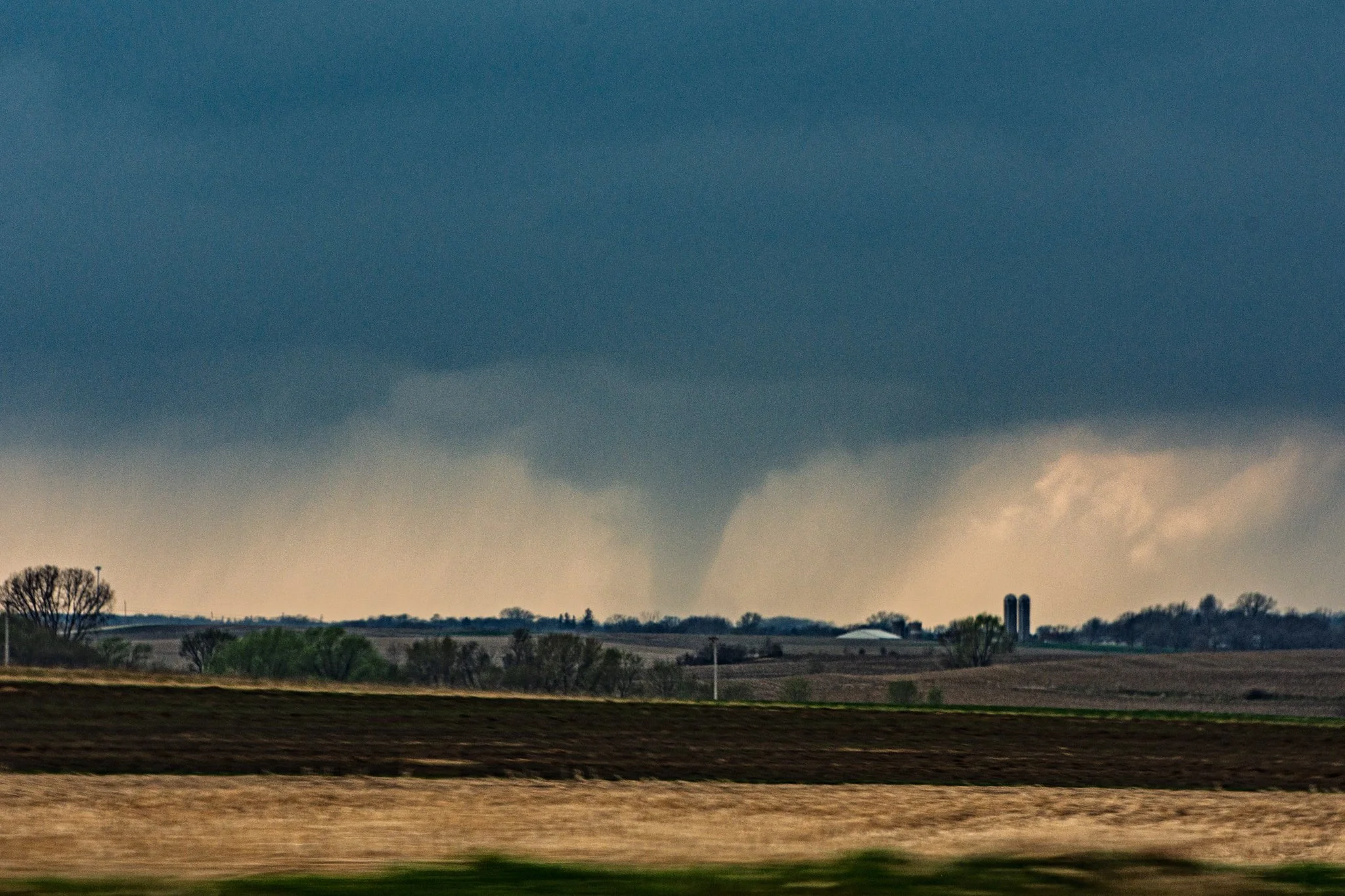
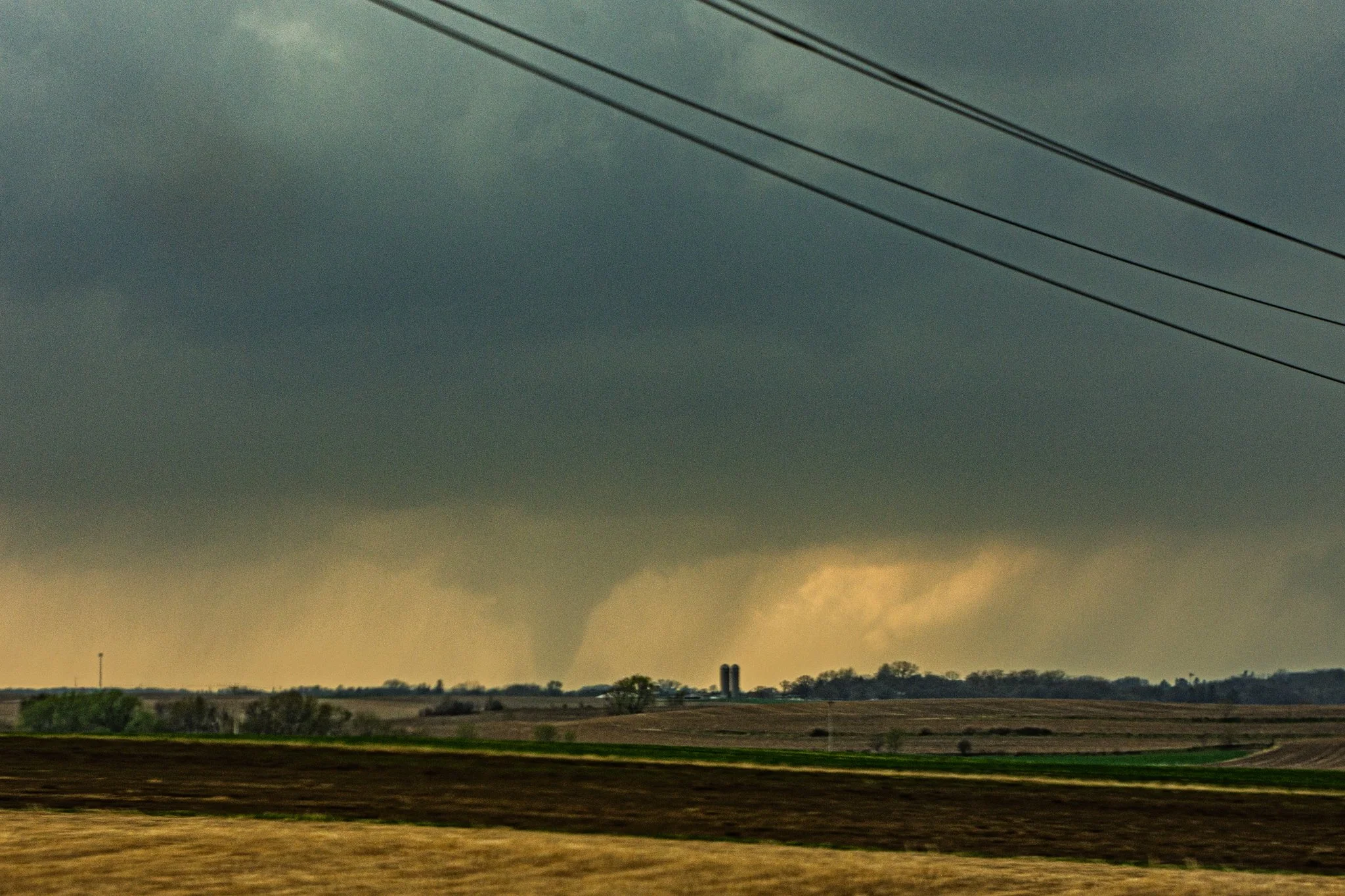
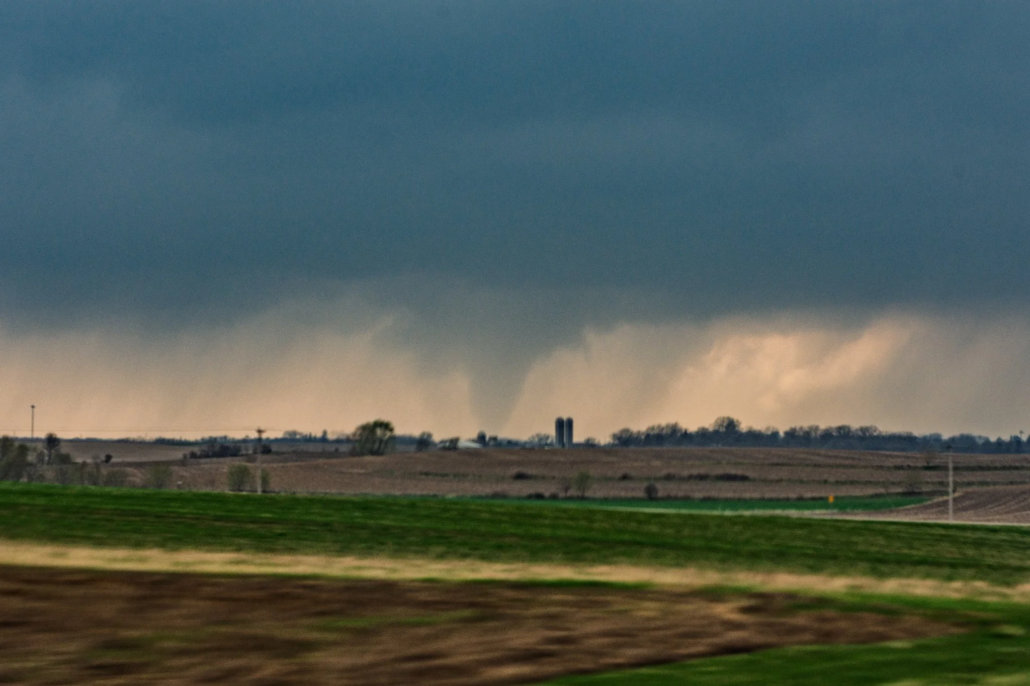
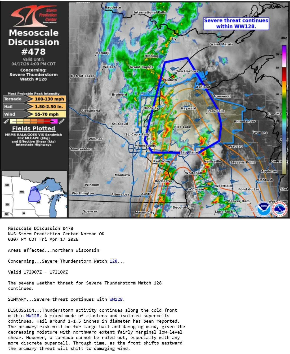
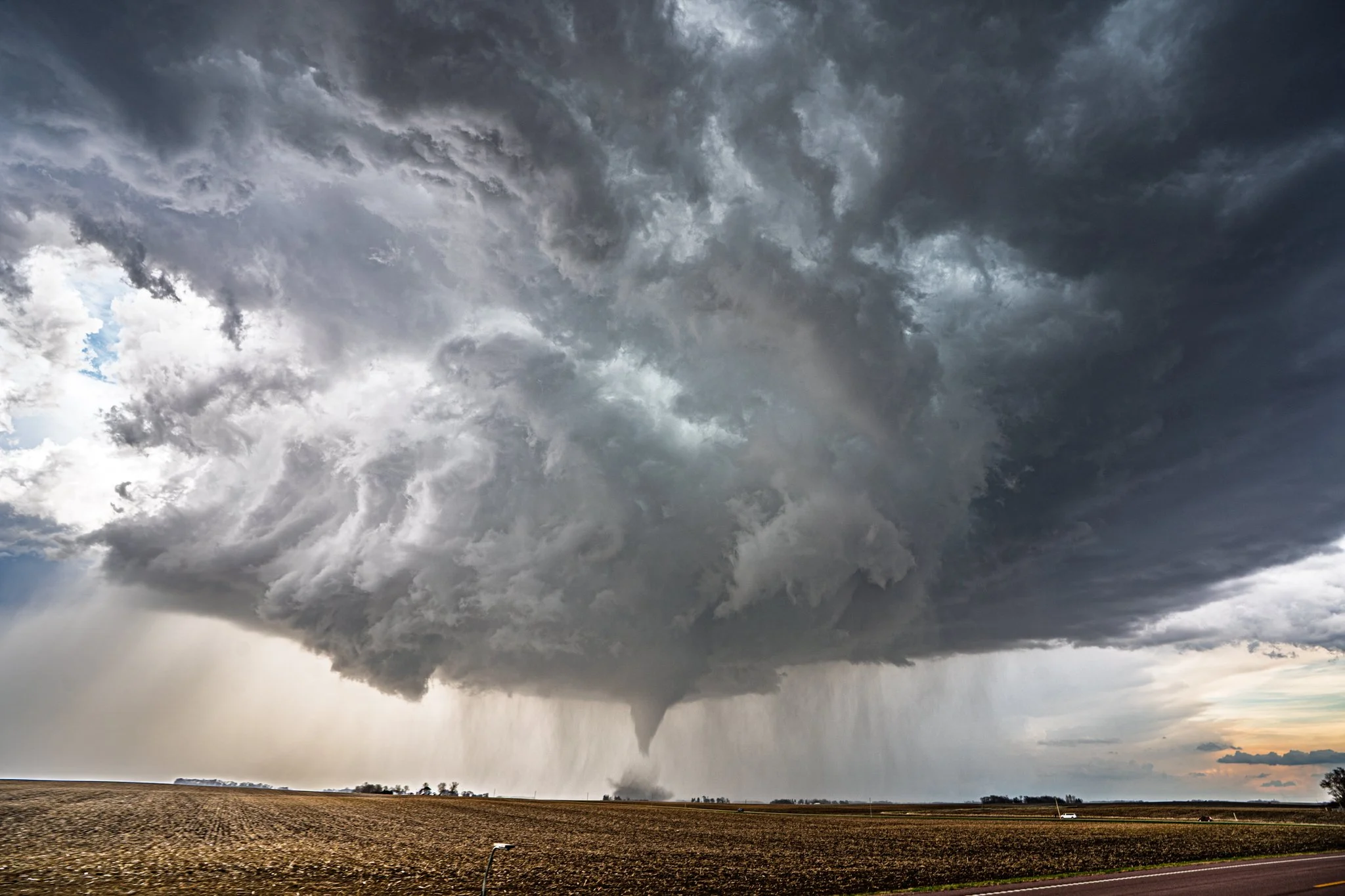
MaryLynn and I were late getting to this tornado after meandering east initially from Farmington into western Wisconsin to intercept a storm coming up our way. Soon realized the storm approaching Rochester was starting to go crazy and saw the last of several tornadoes near Rochester from a distance. Frustrating but at least we saw it!
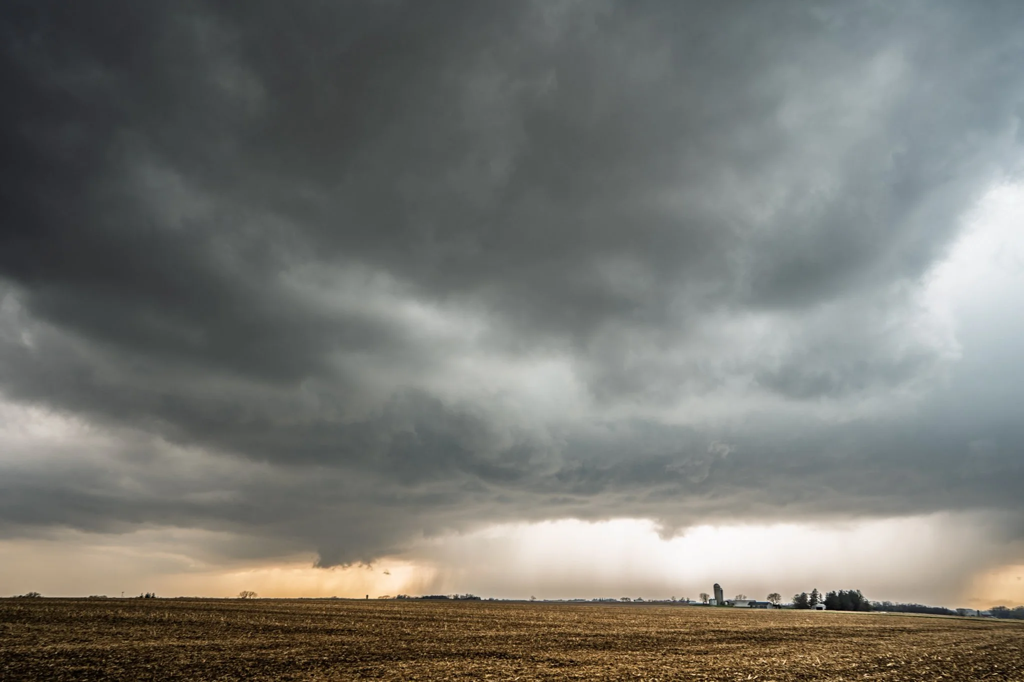
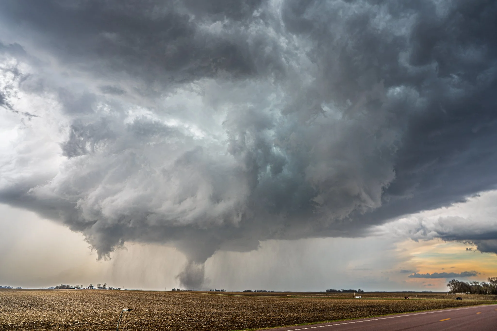
Another shot of the tornado in the distance over the rolling farmland of southeast Minnesota.
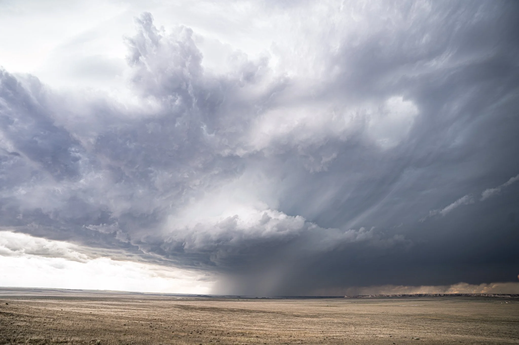
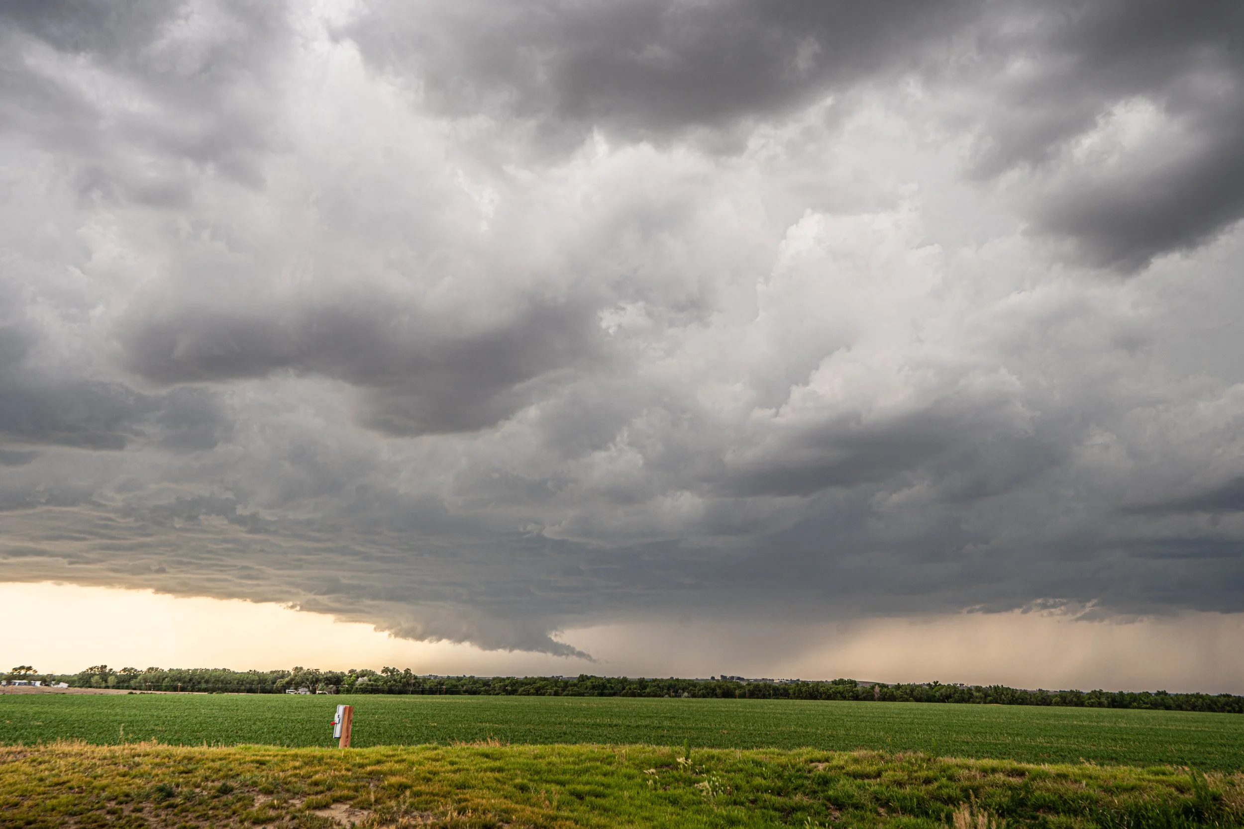
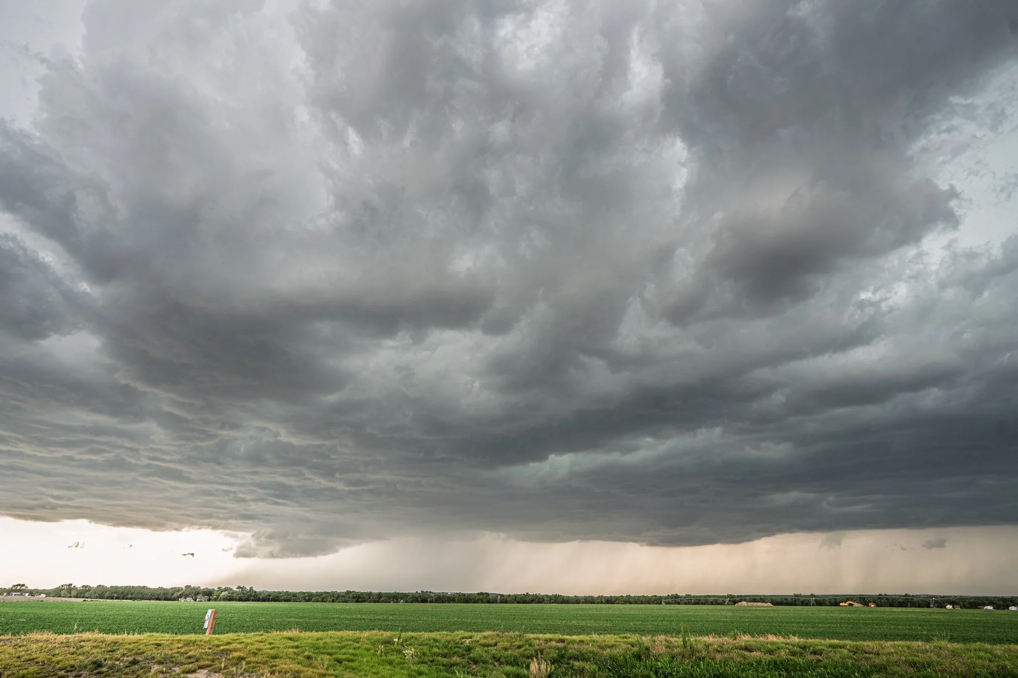
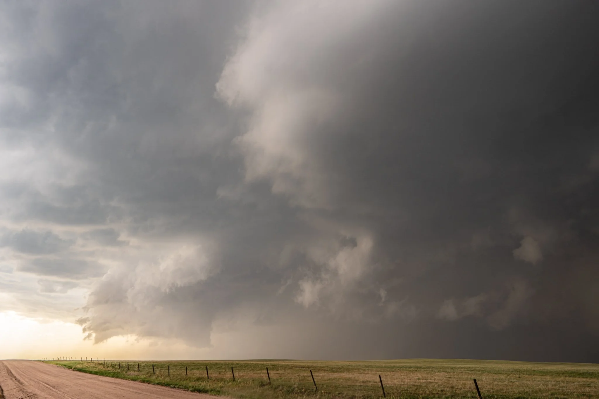
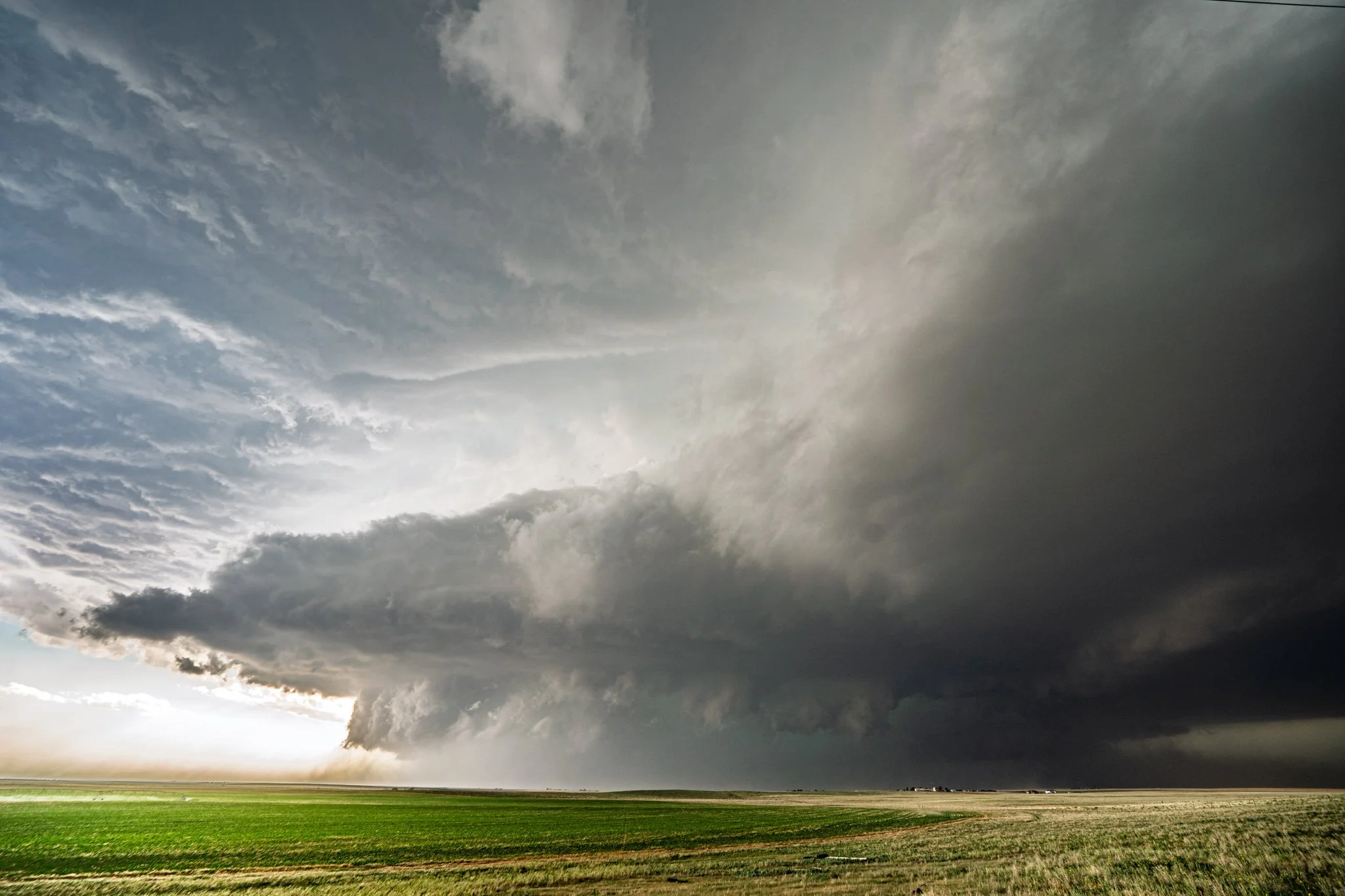
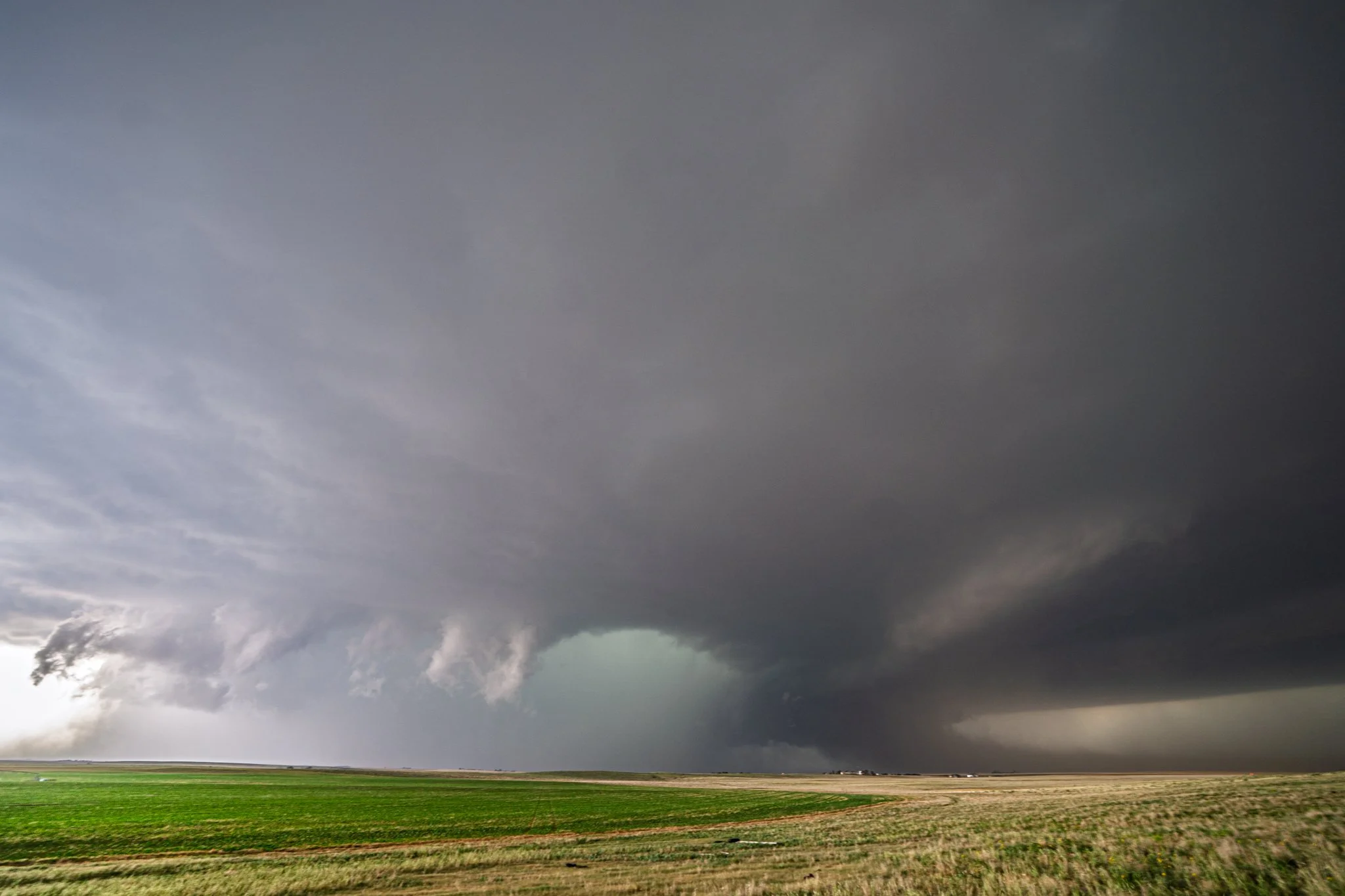
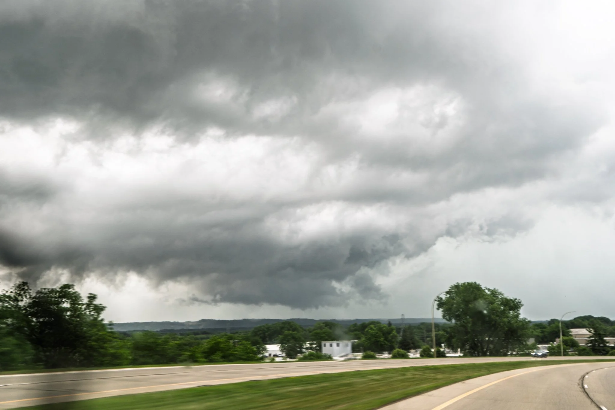
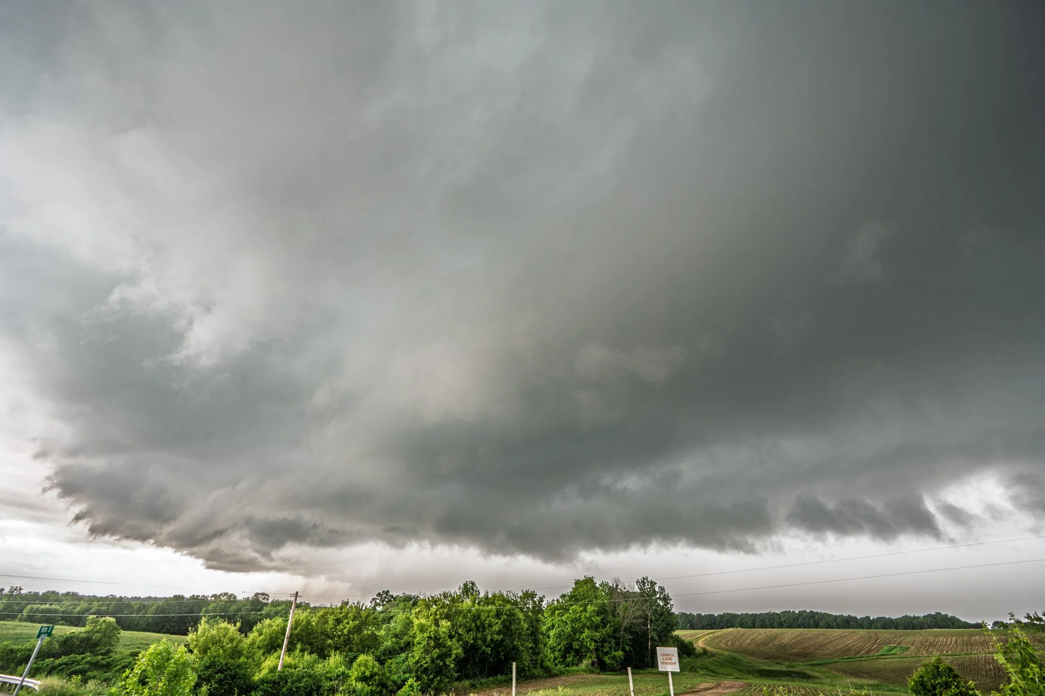
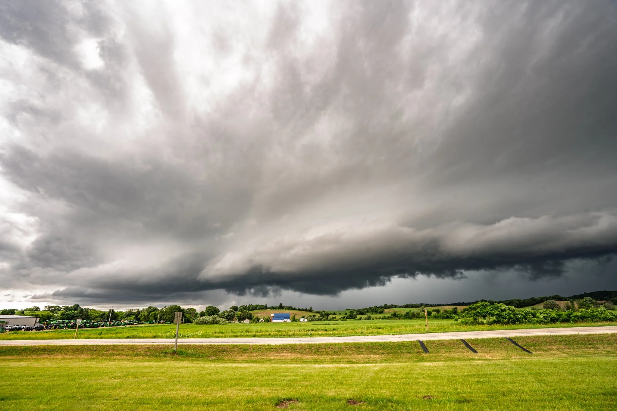
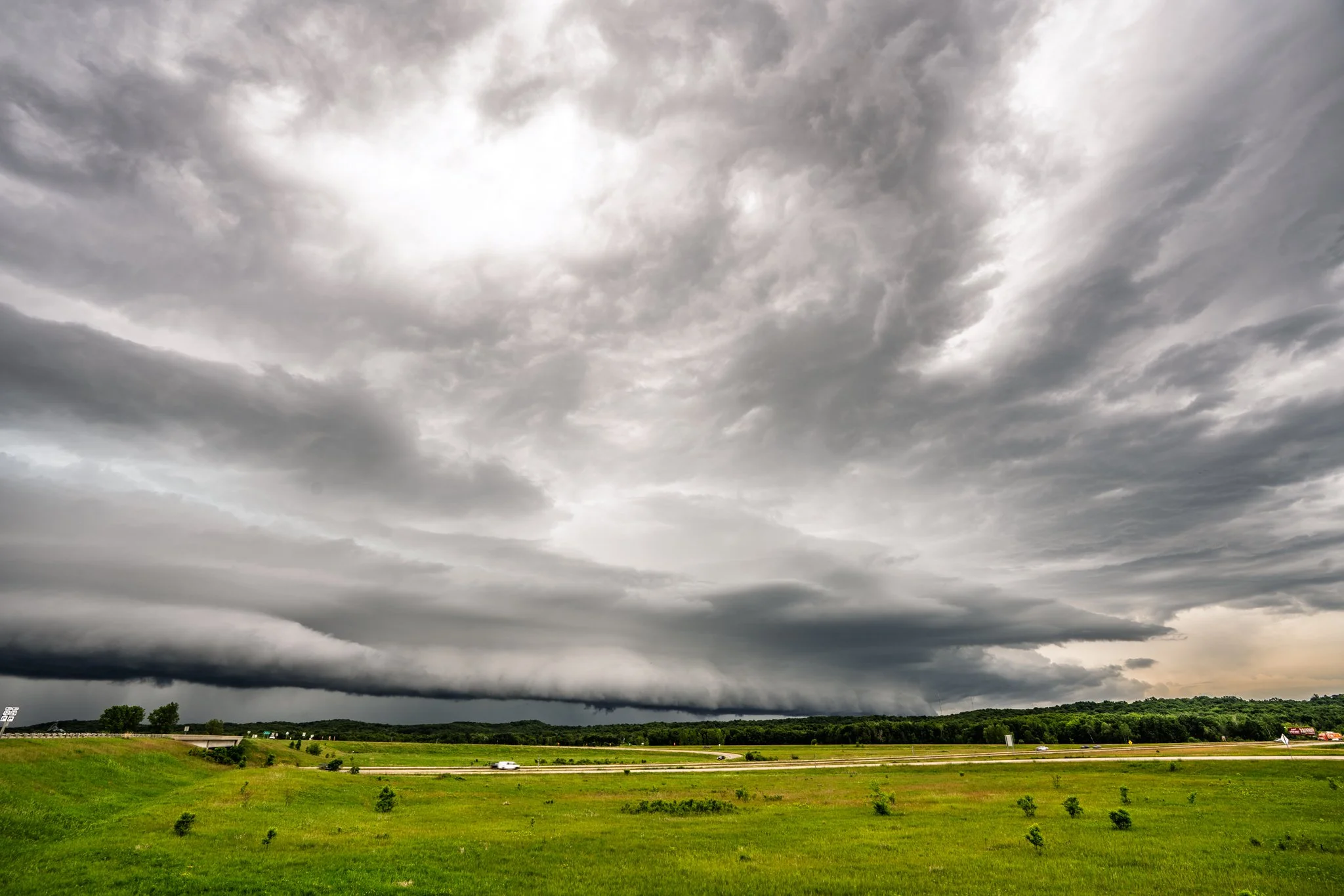
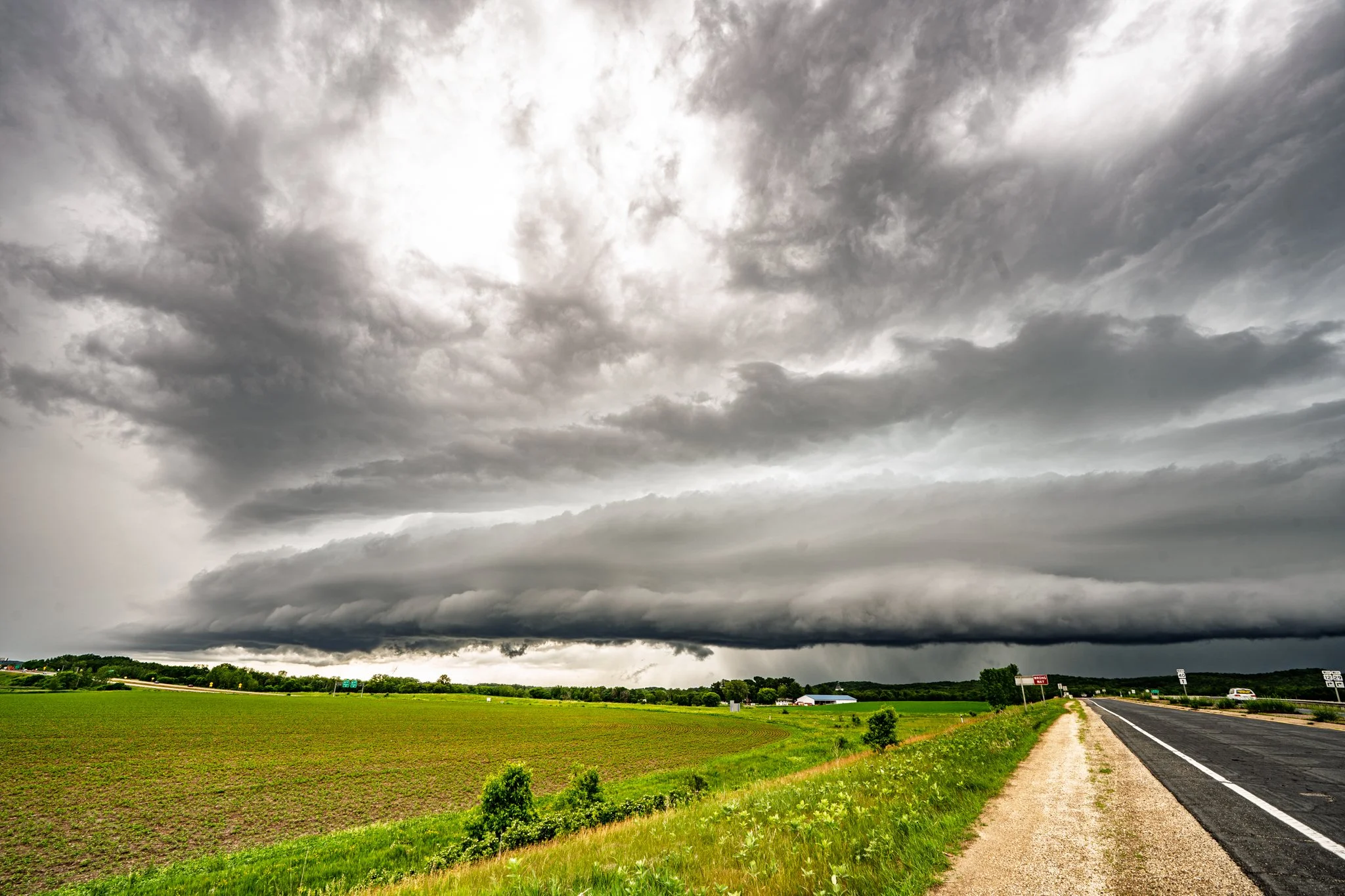
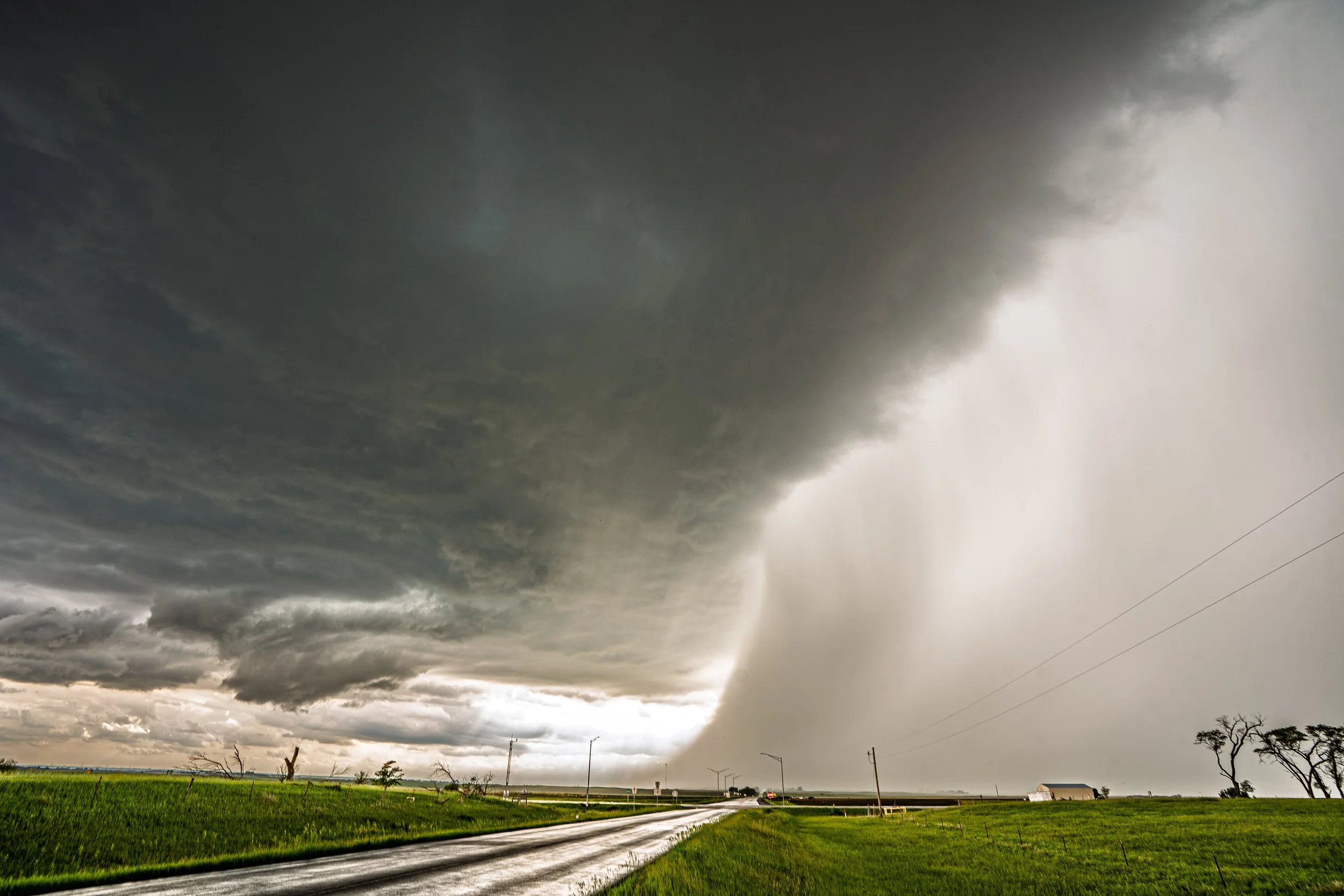
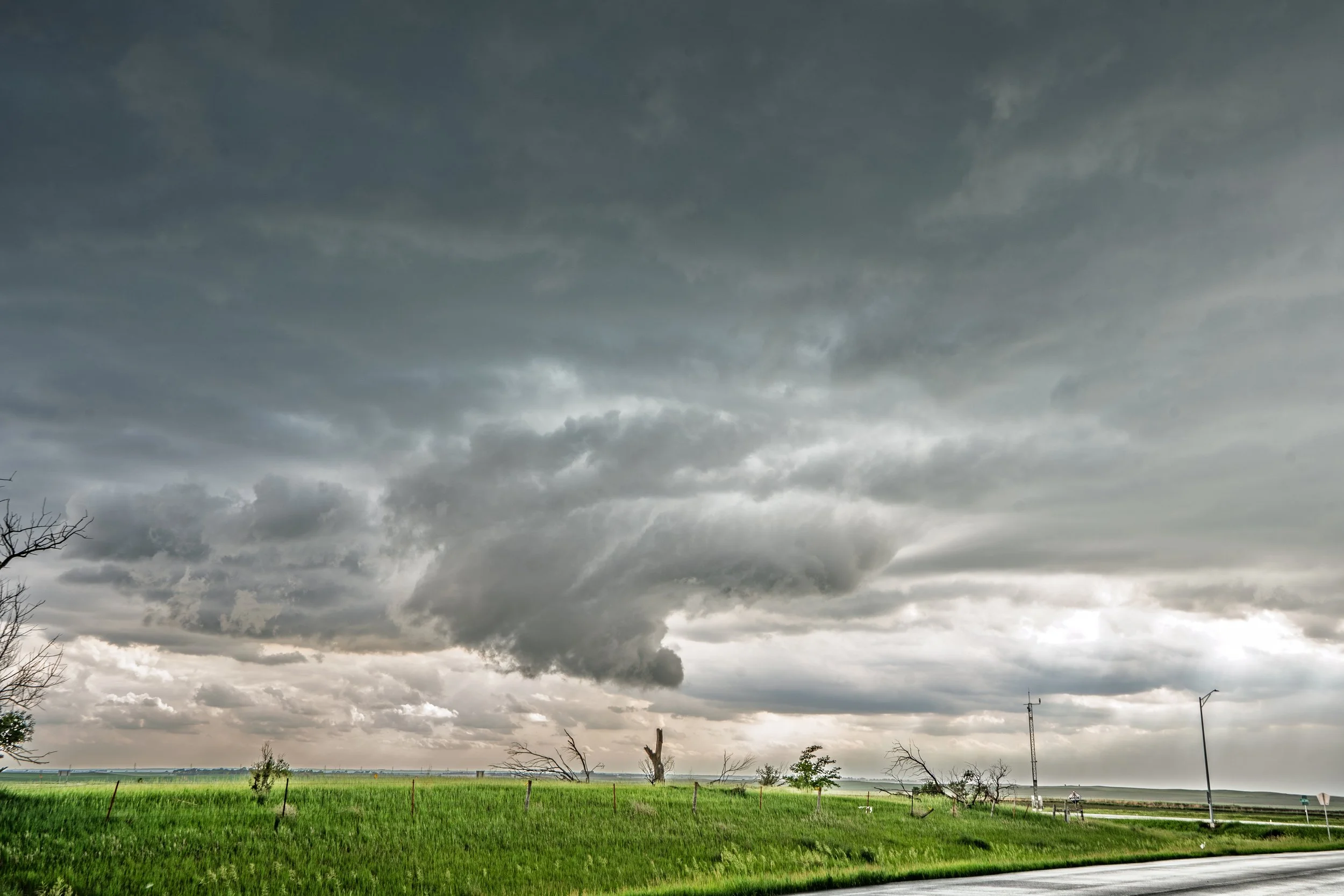
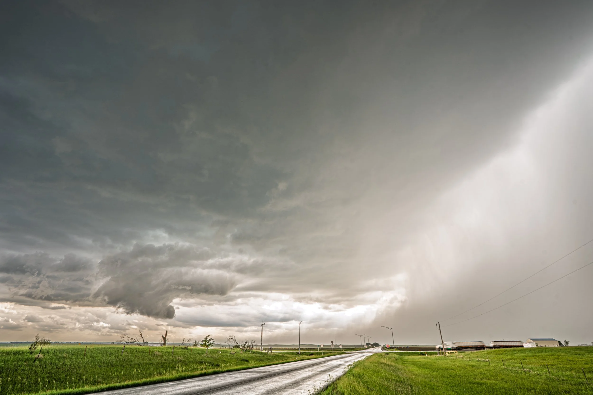
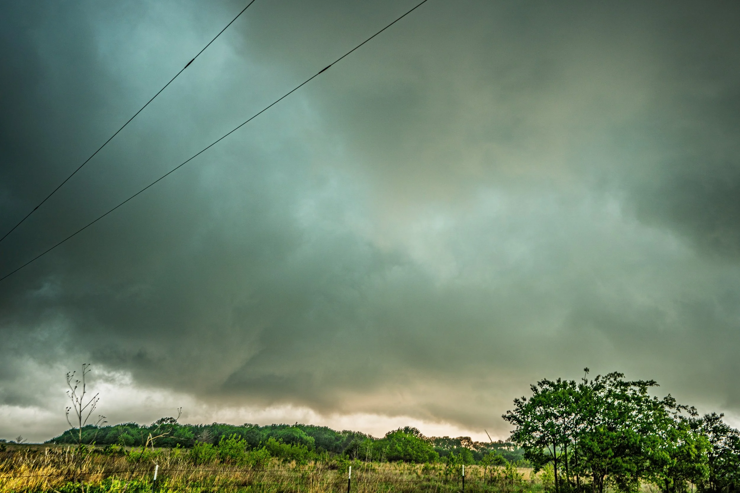
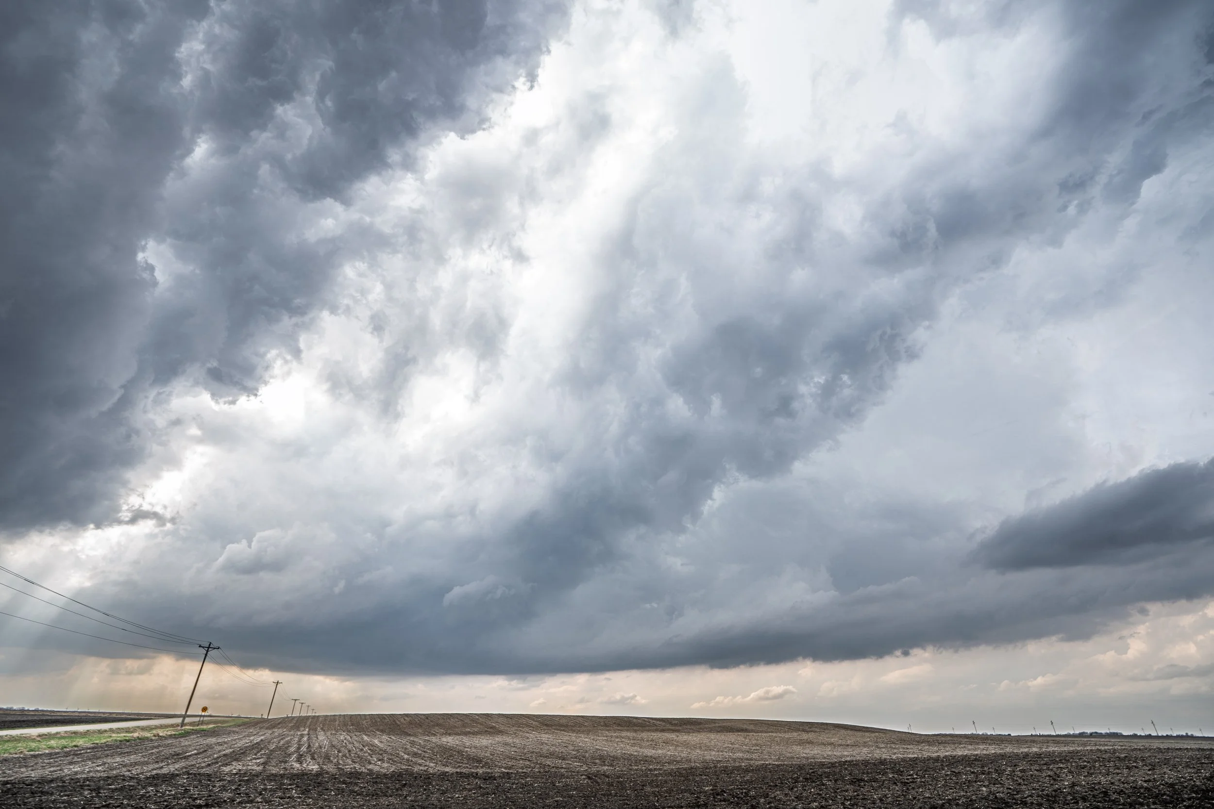
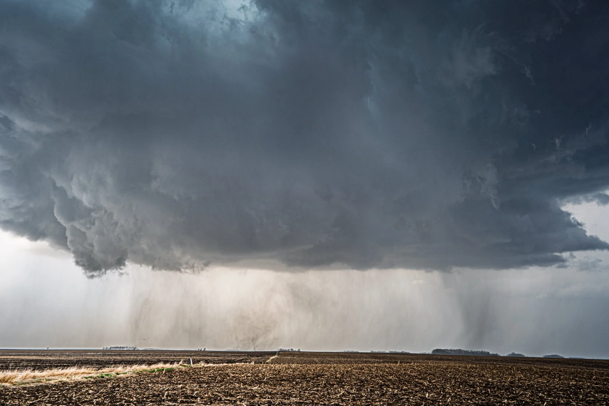
We chased the supercell for another hour as it slowly worked it’s way east towards the Wisconsin border. It became tornado warned once again near St. Charles and had a brief lowering on the left side. Certainly a heavy rain/hail core in there!
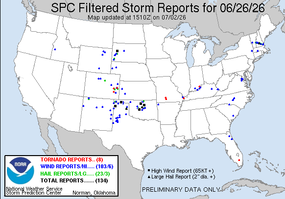
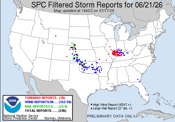
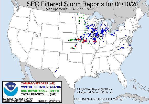
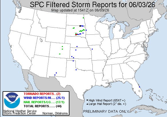
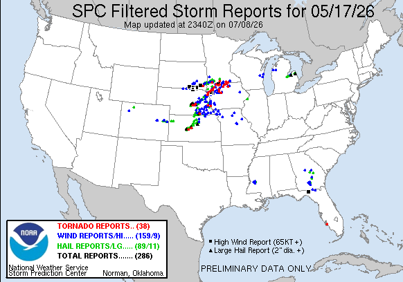
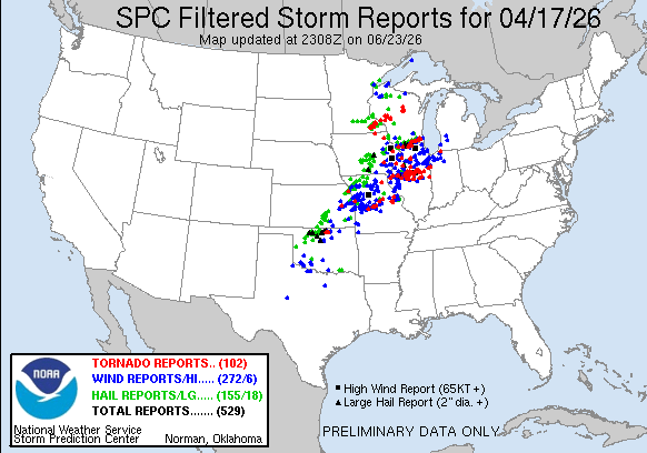
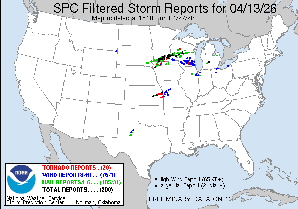
STORM REPORTS:

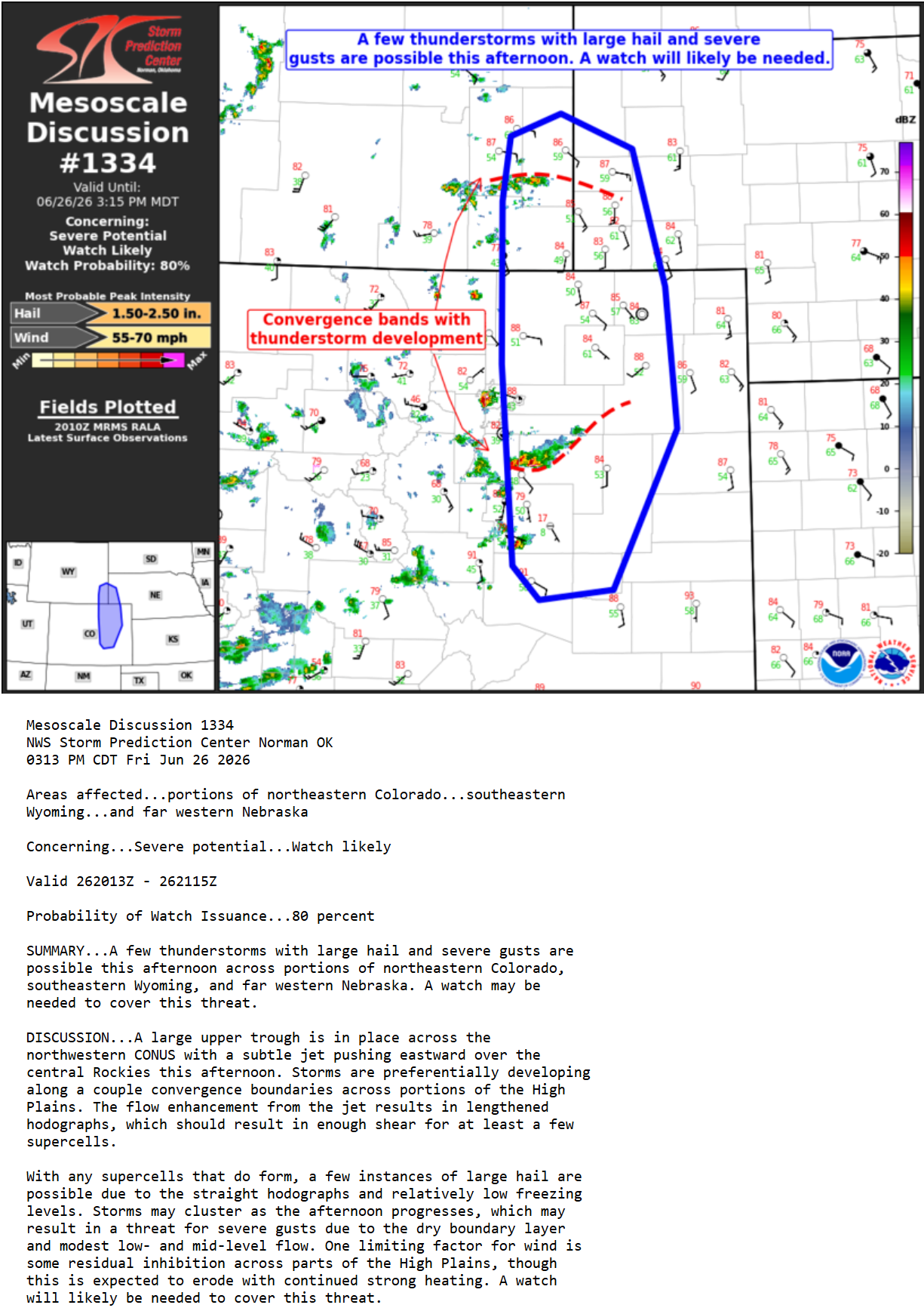
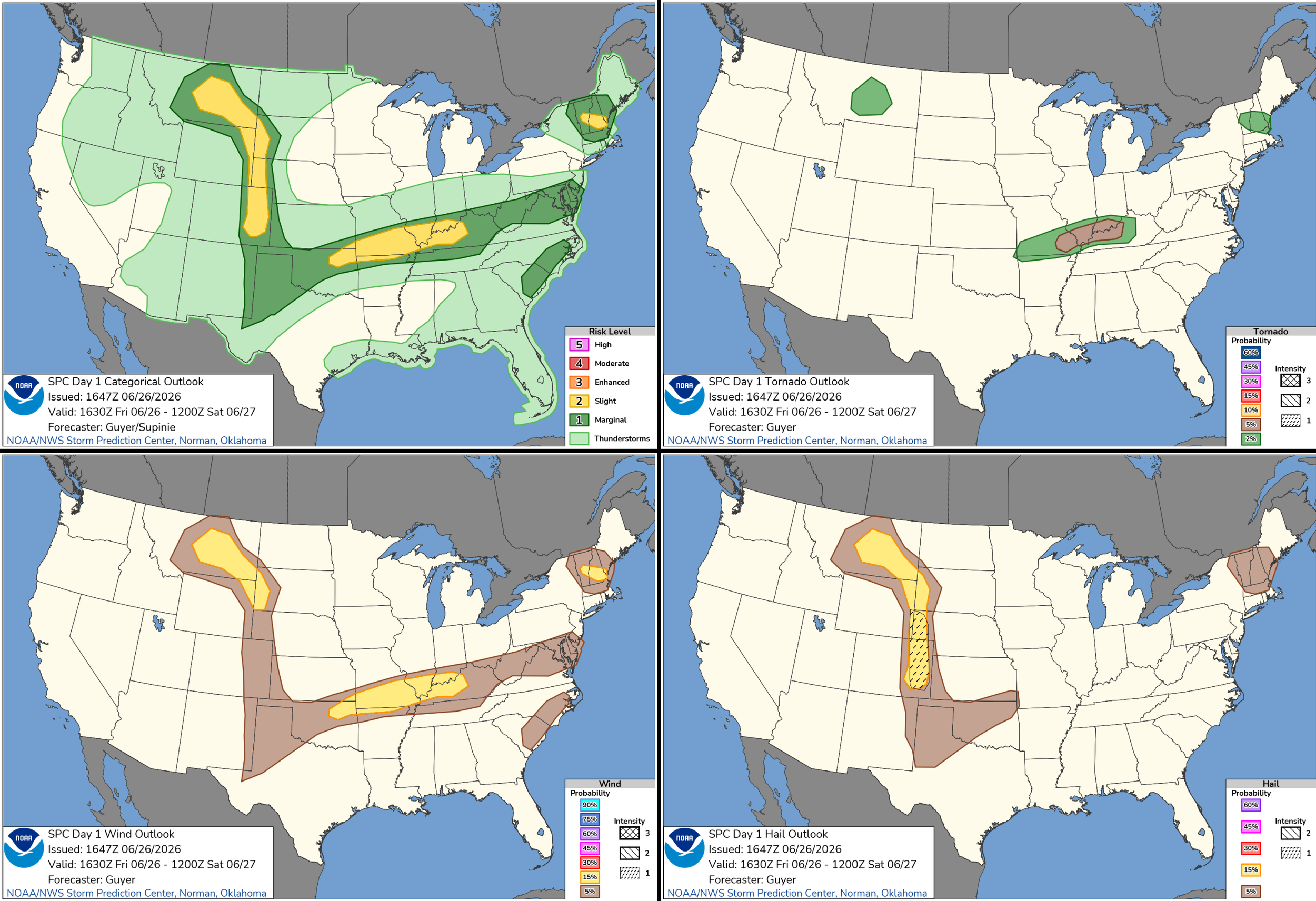
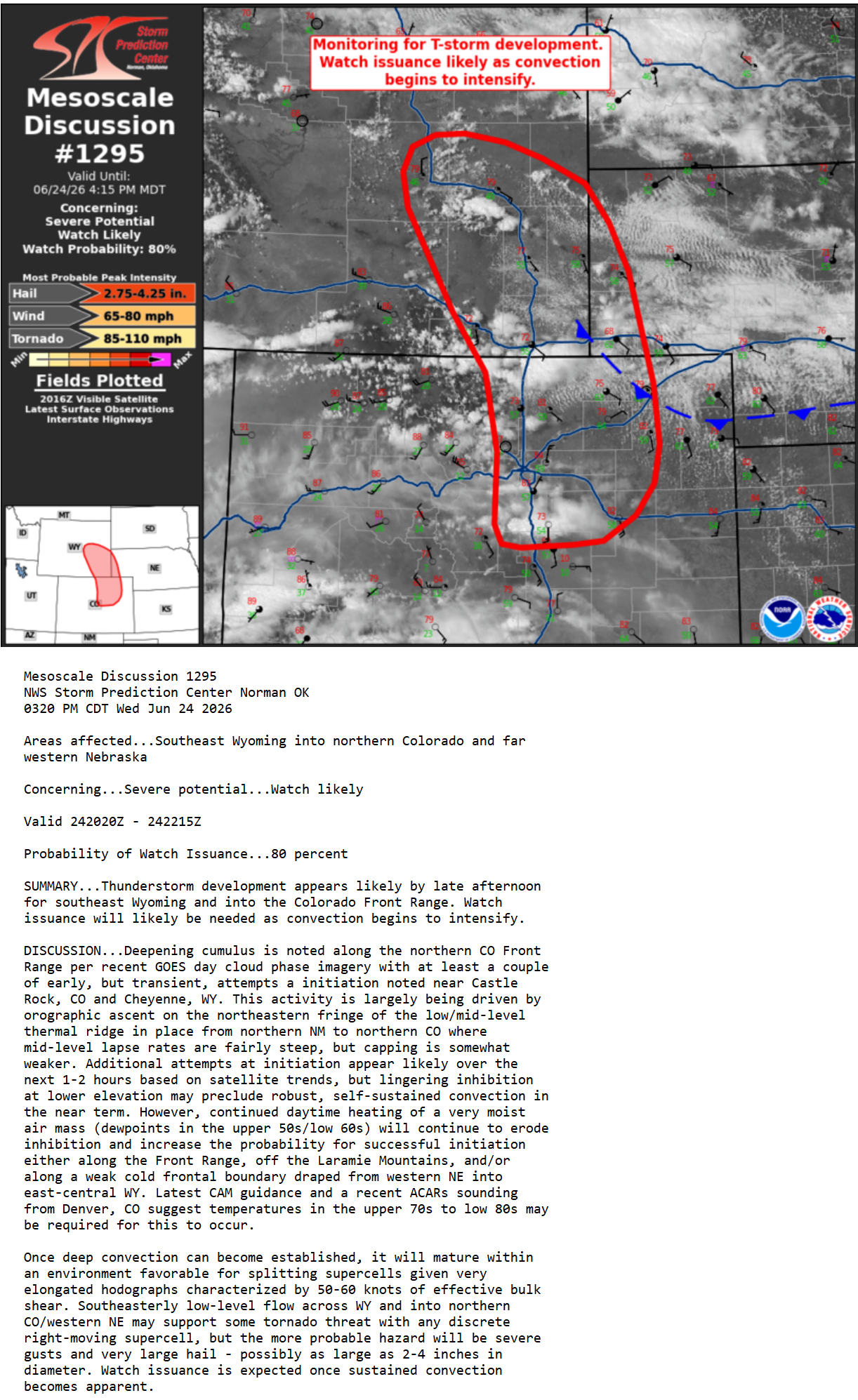
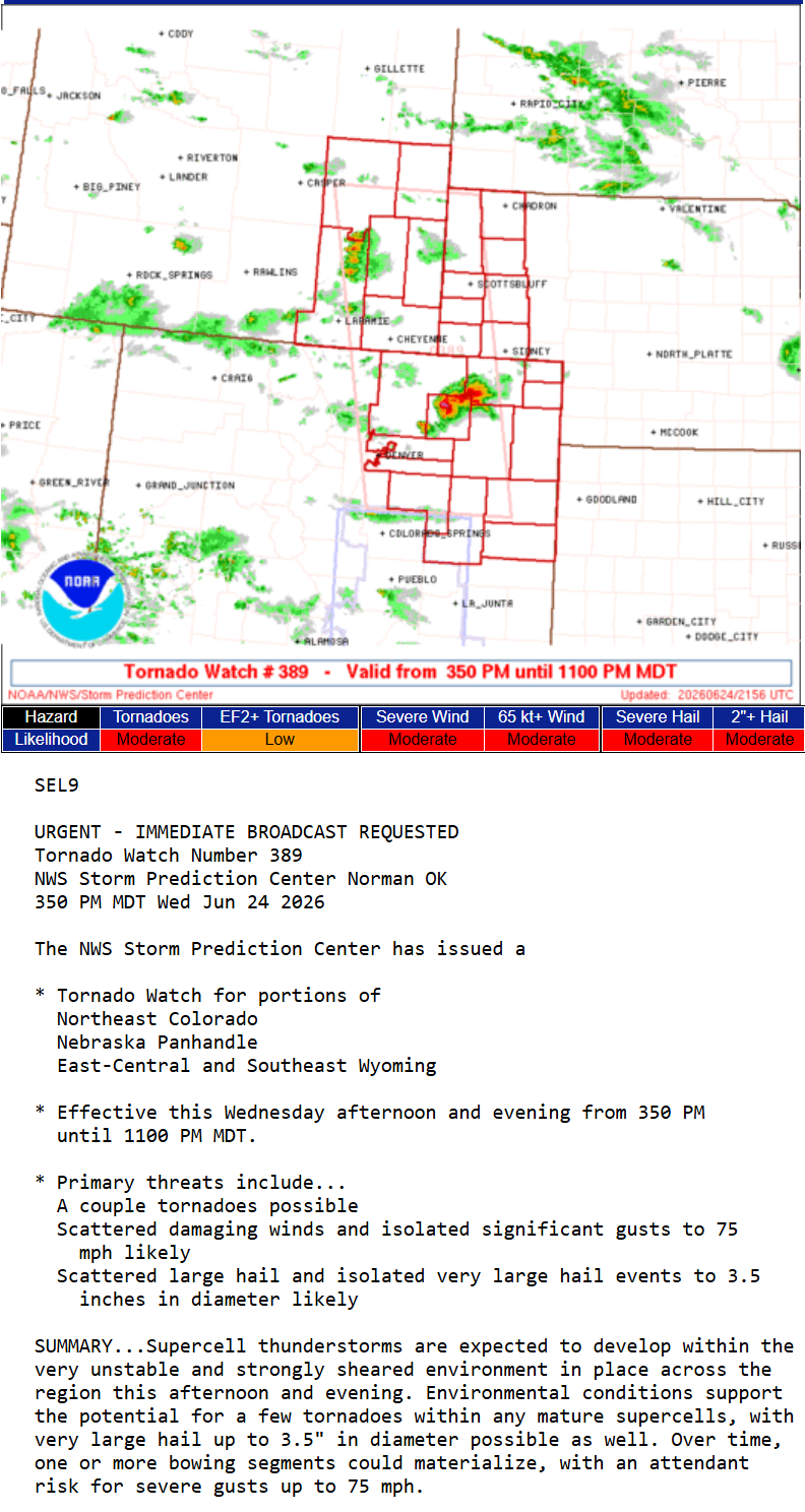
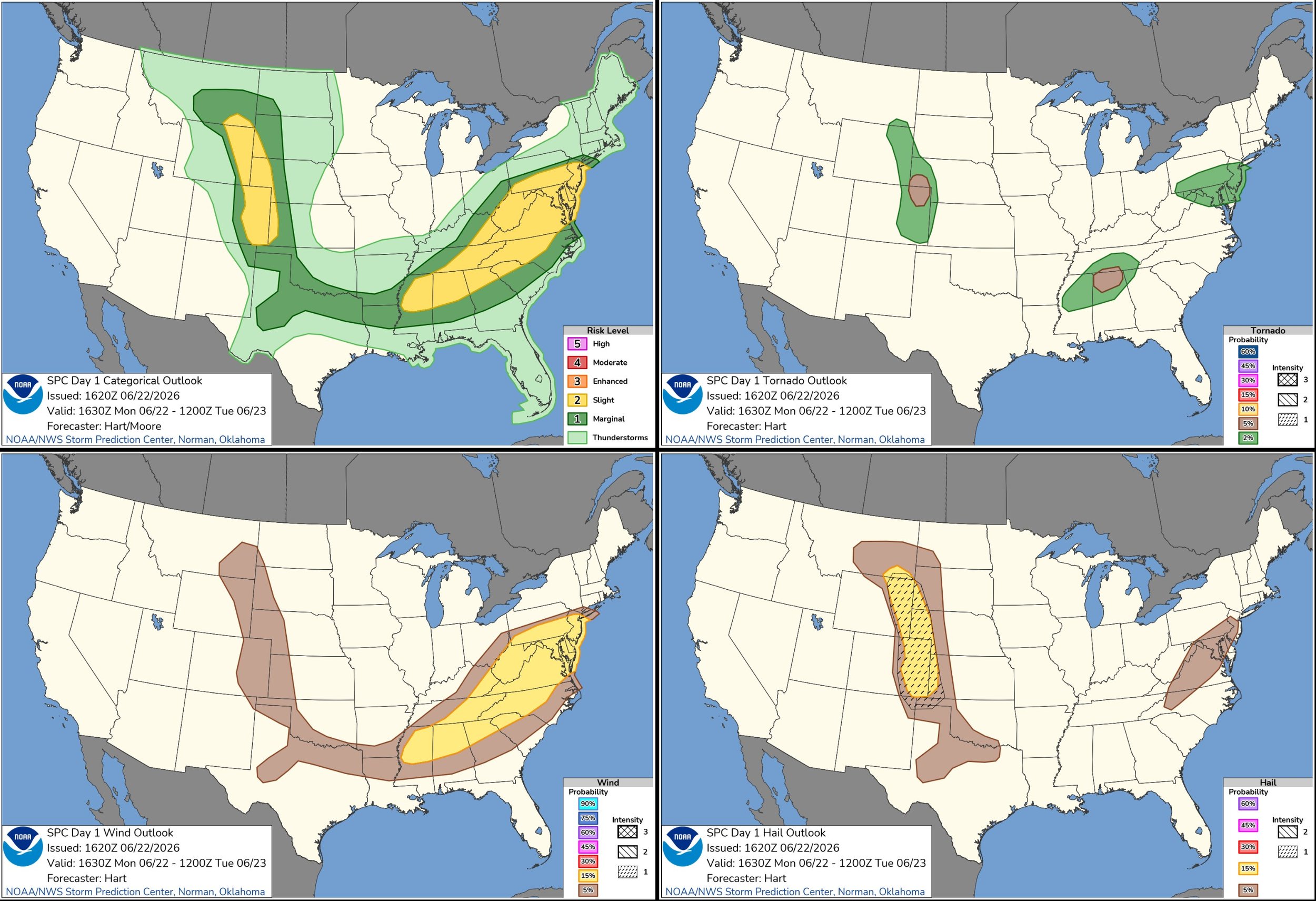
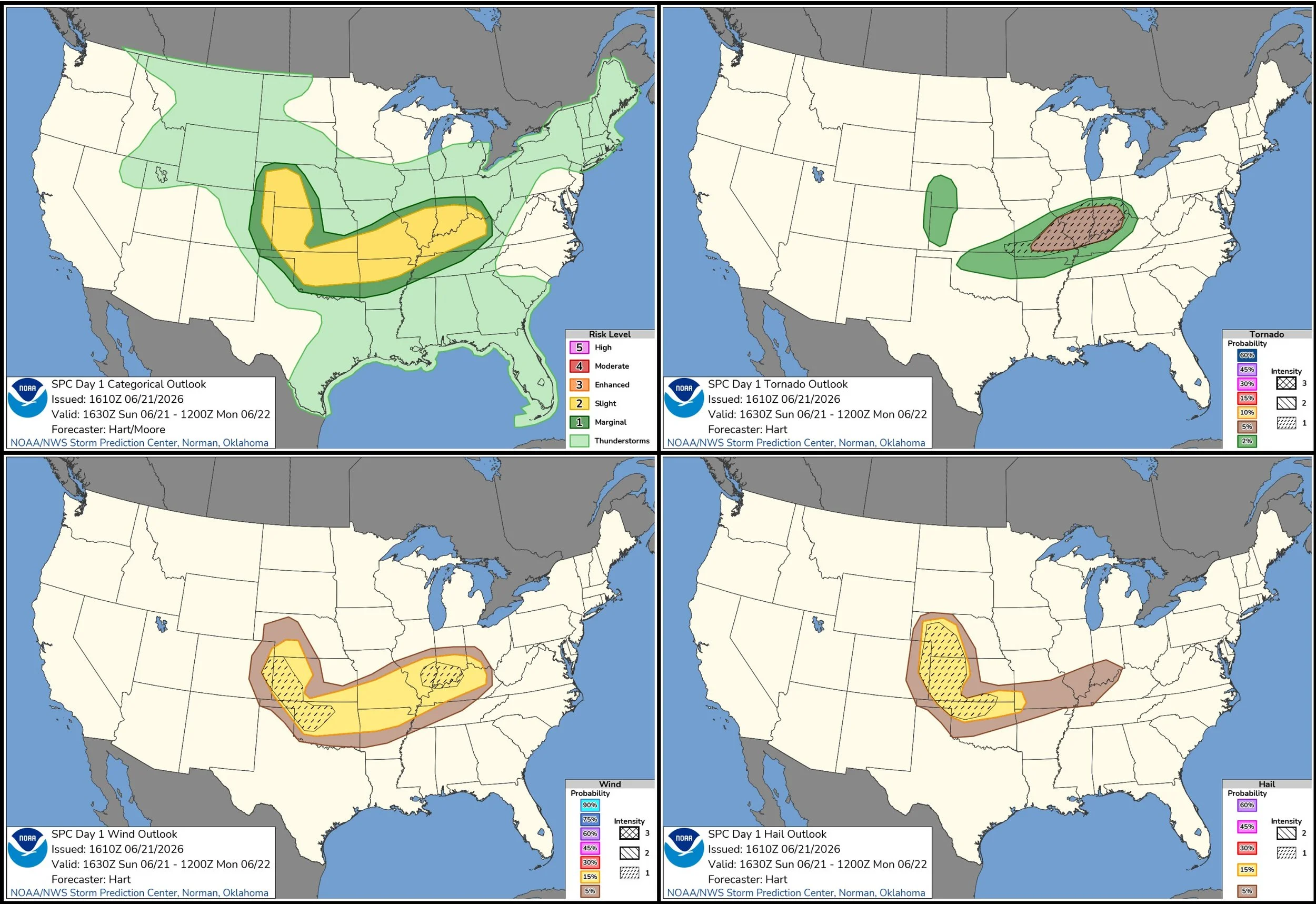
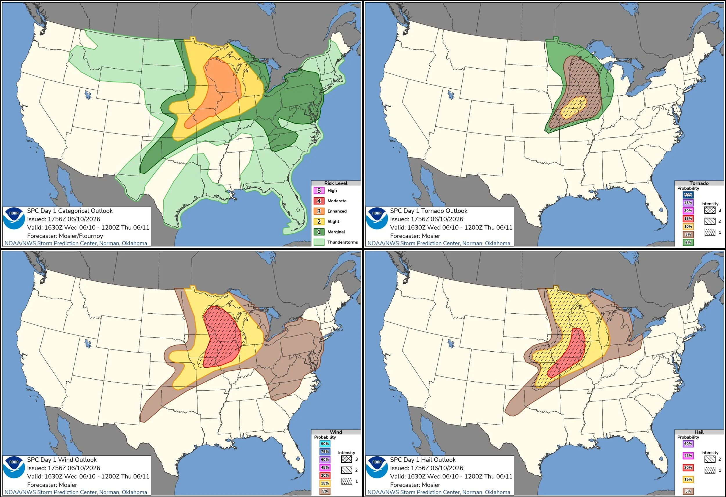
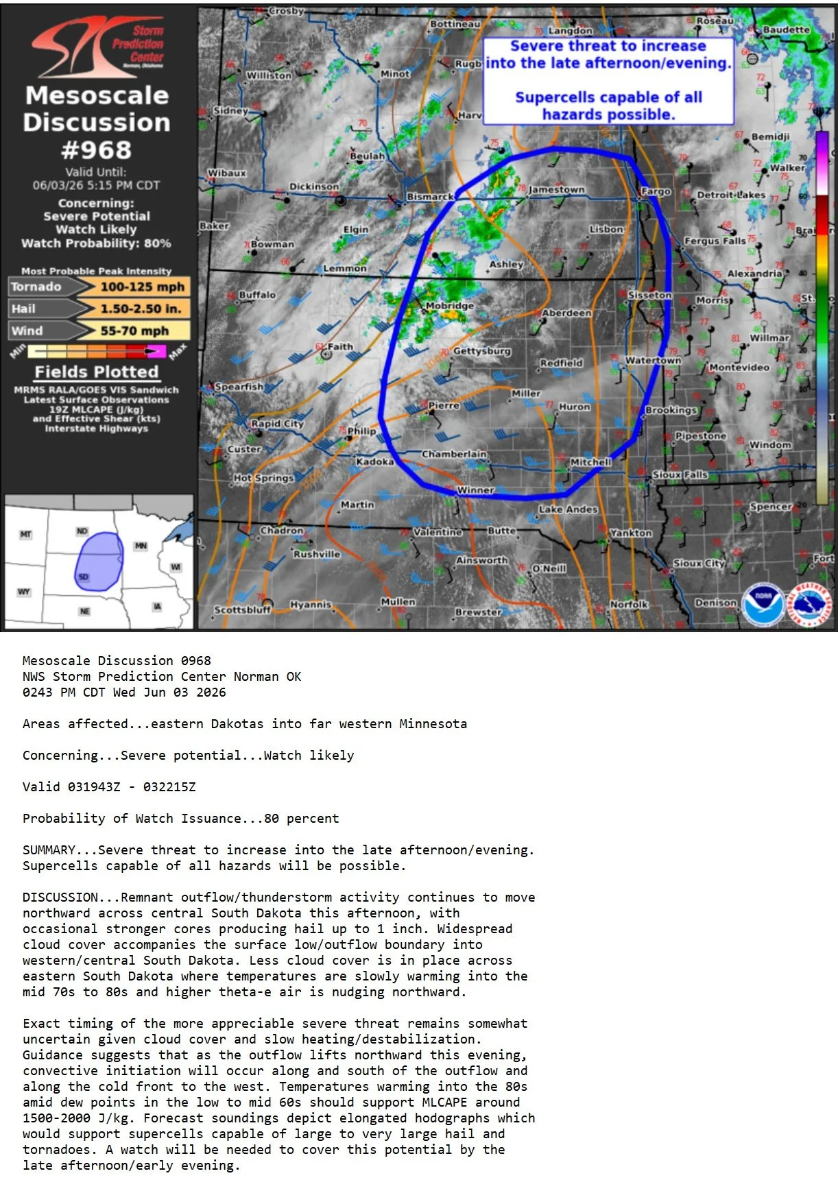
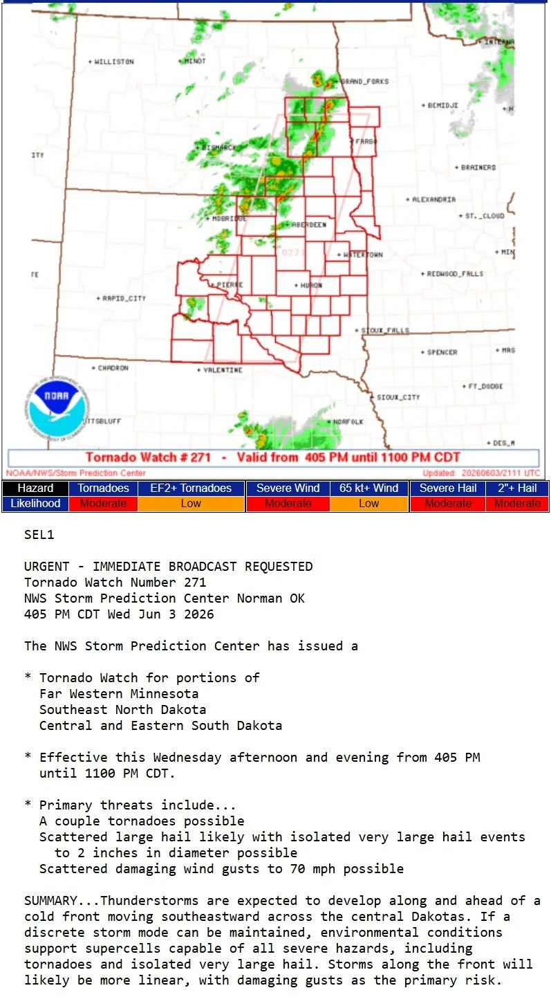
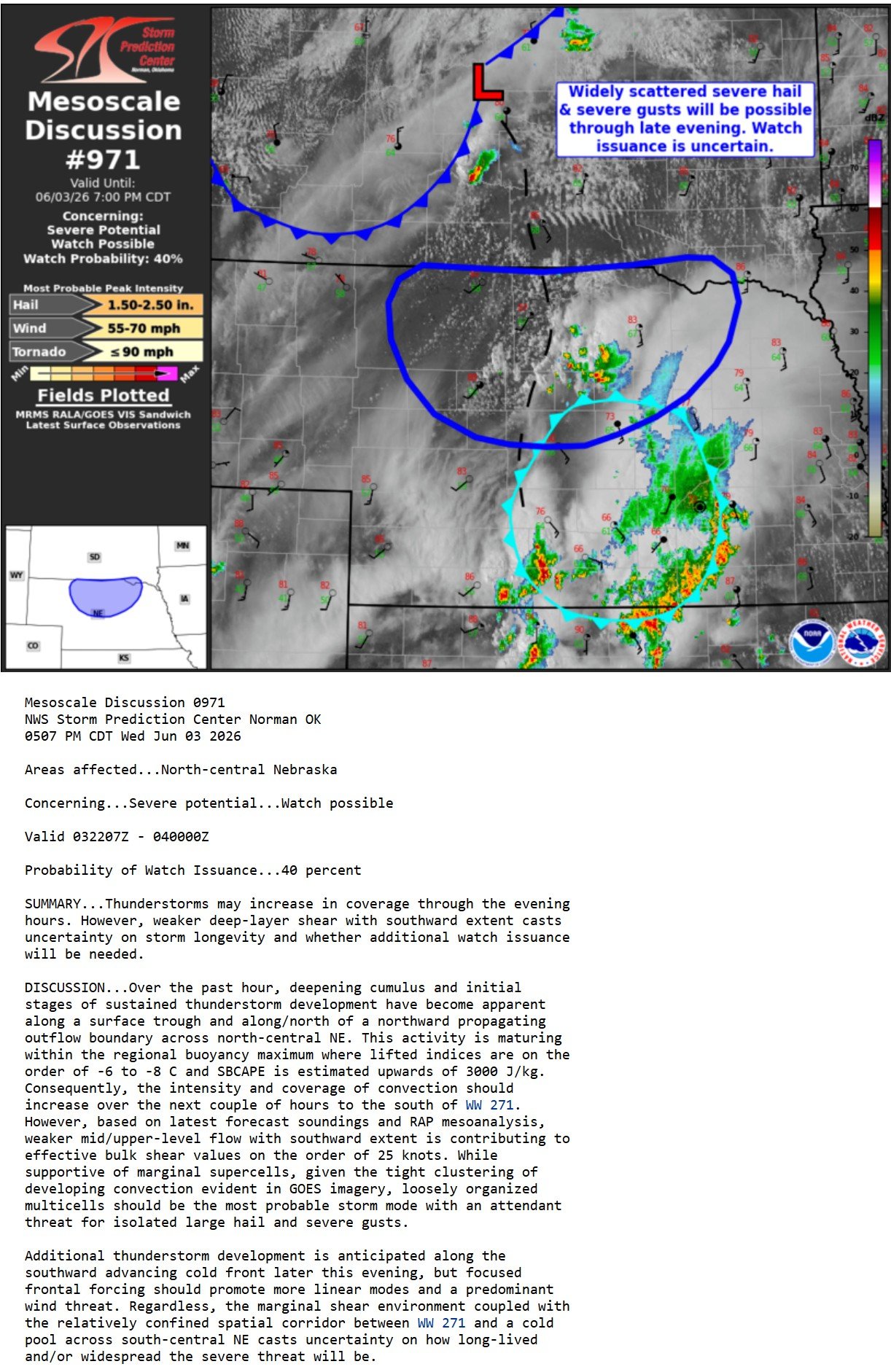
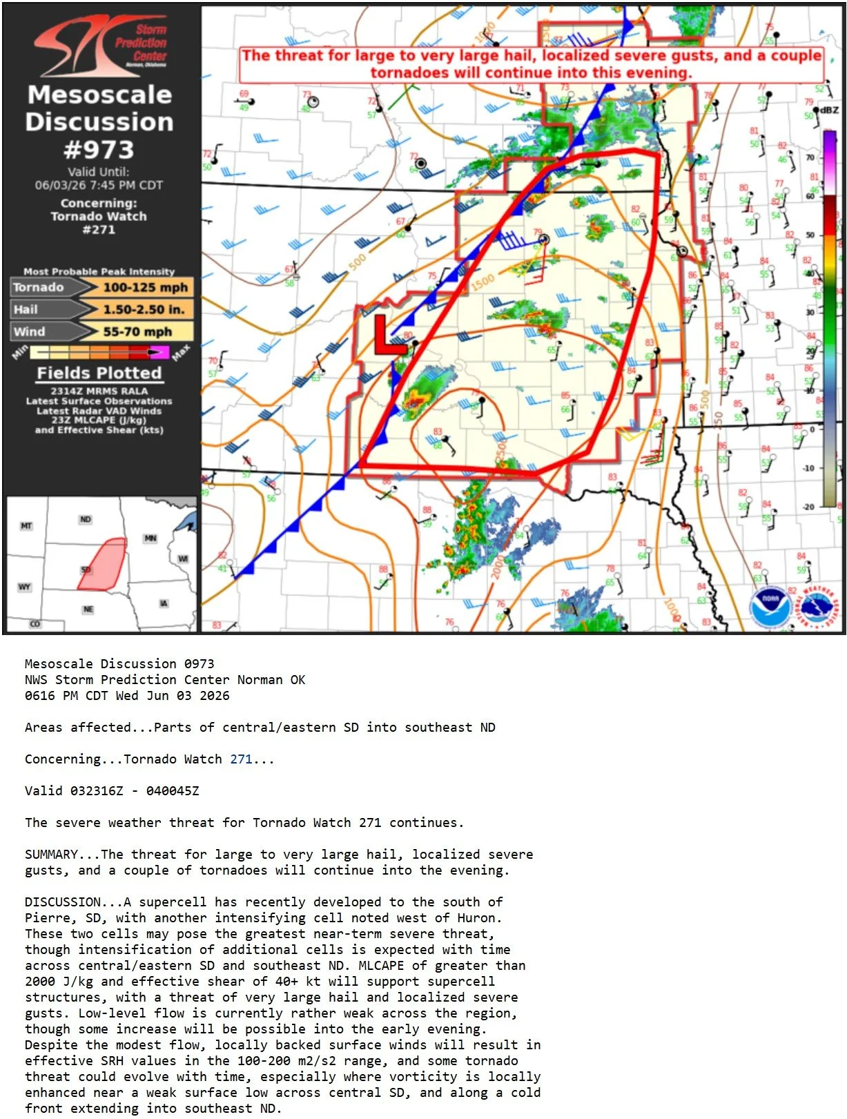
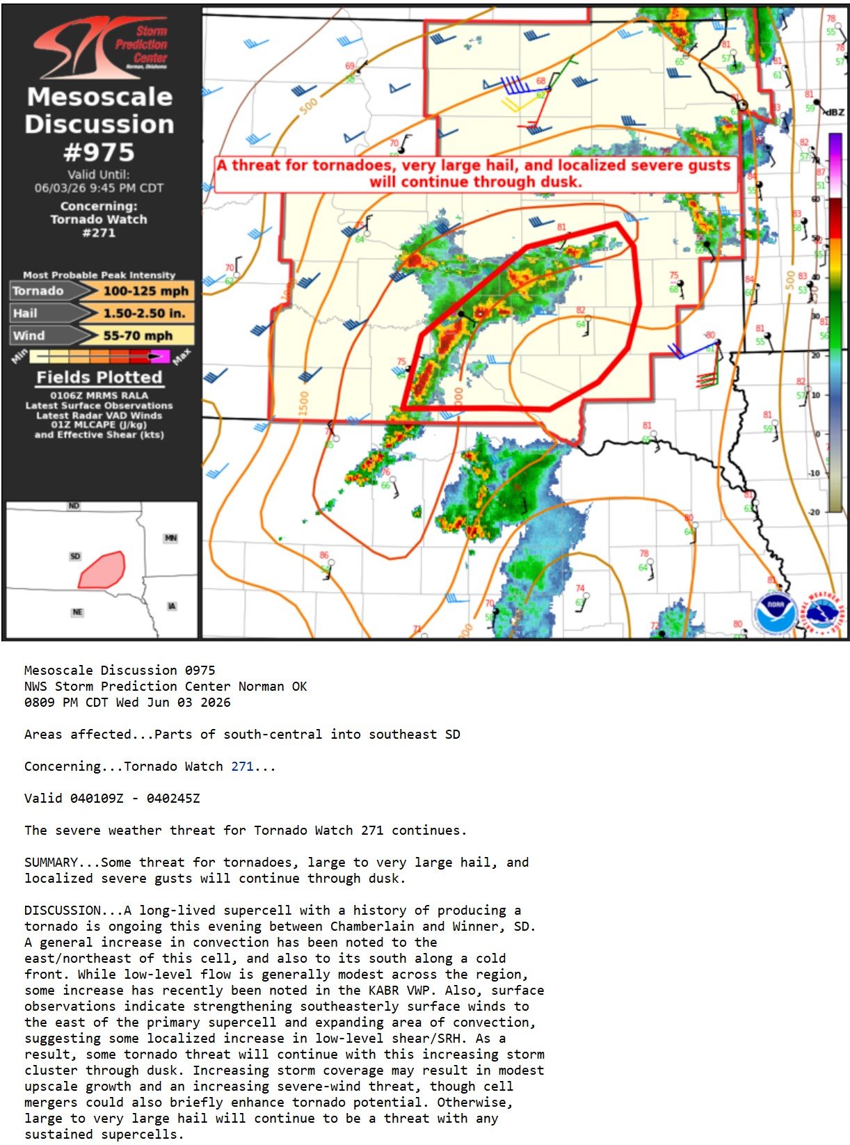
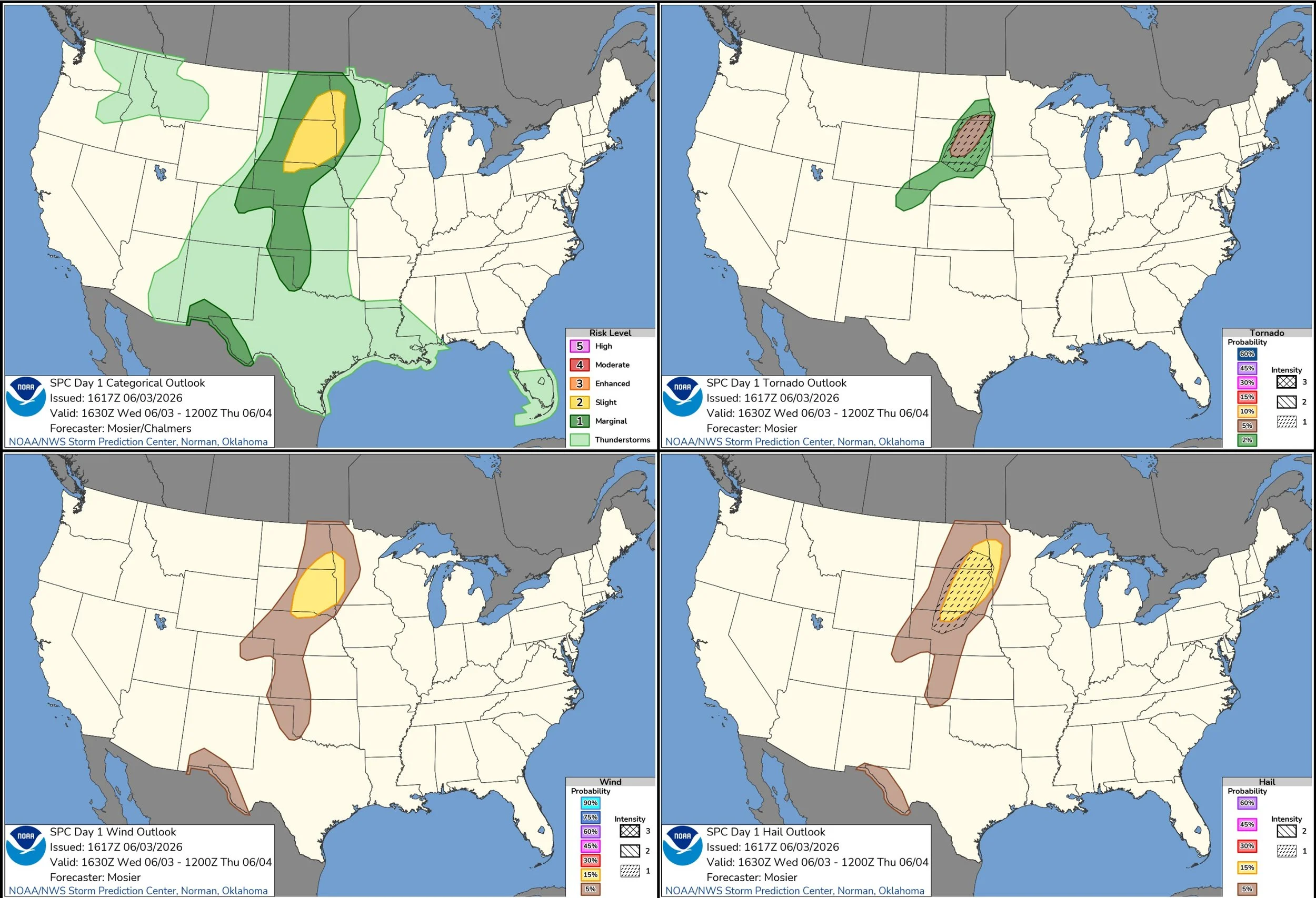
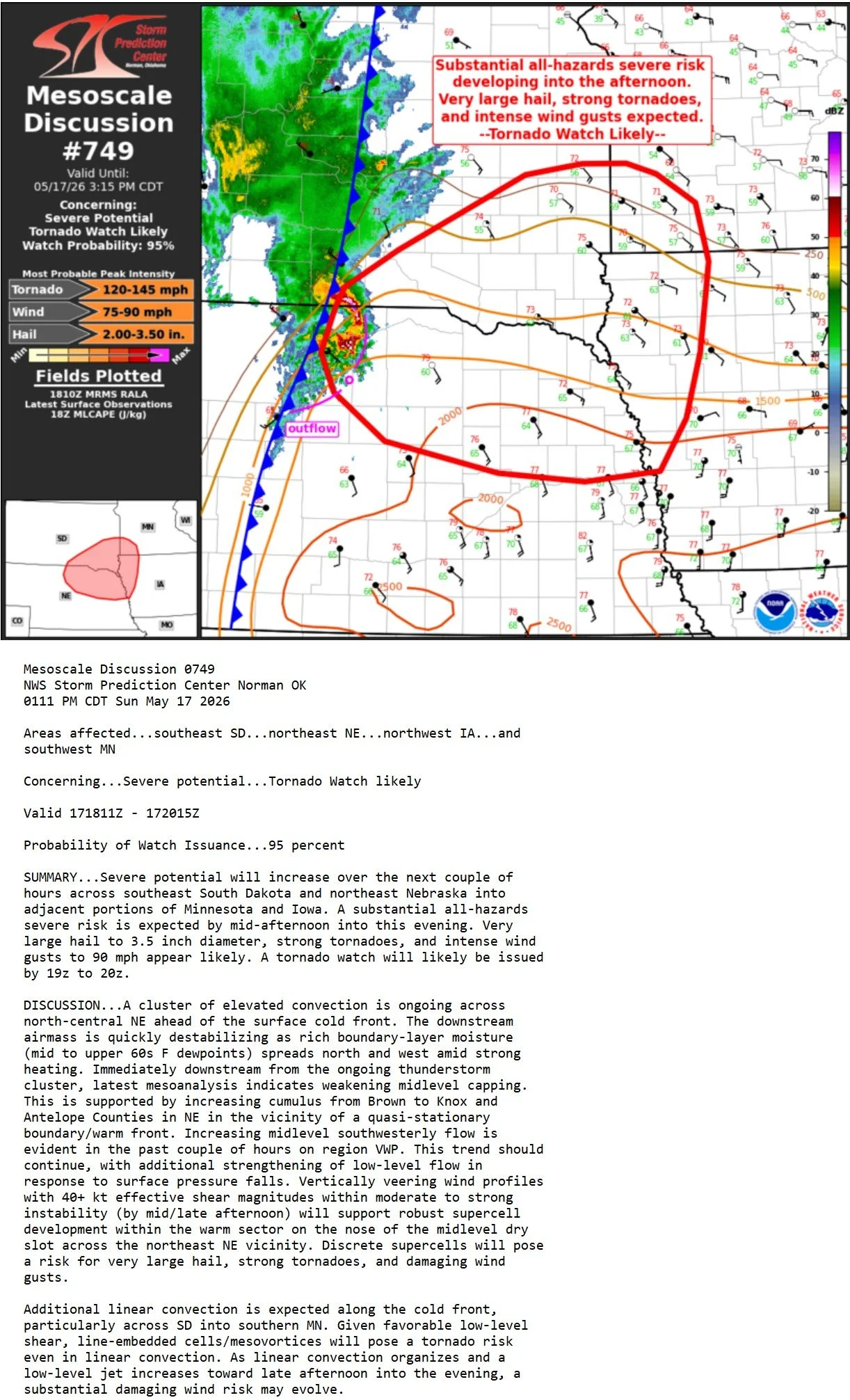
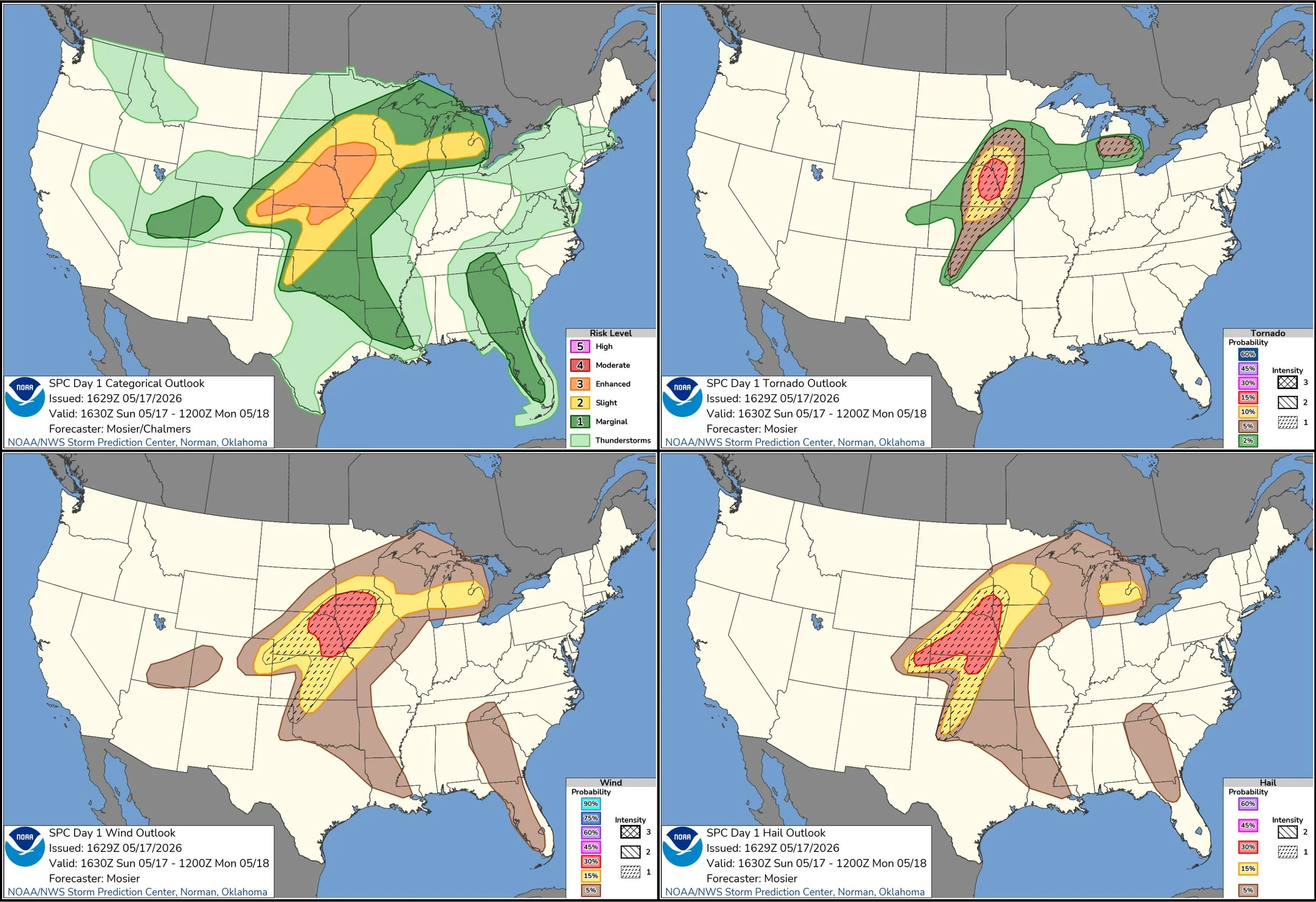
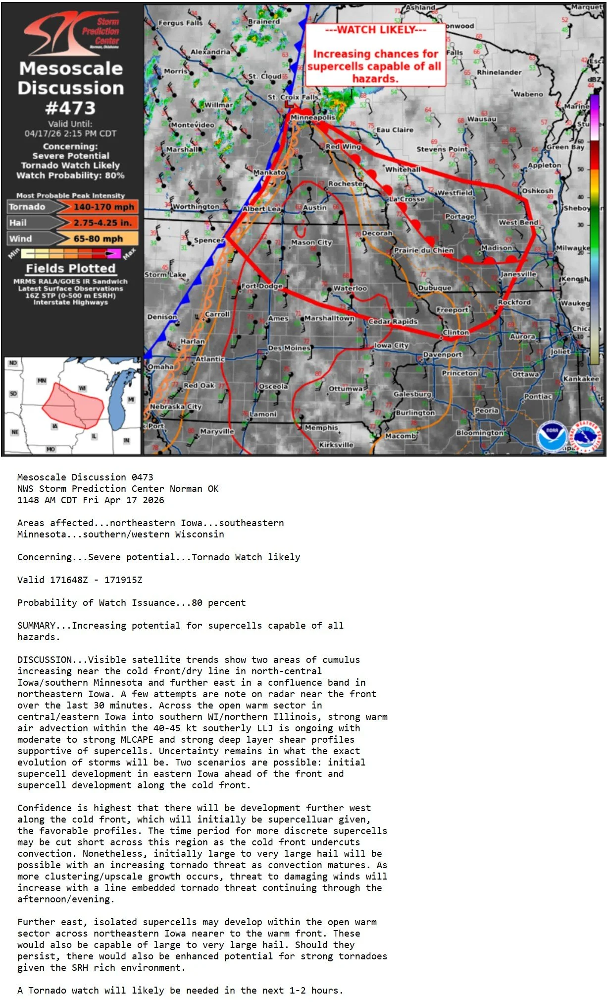
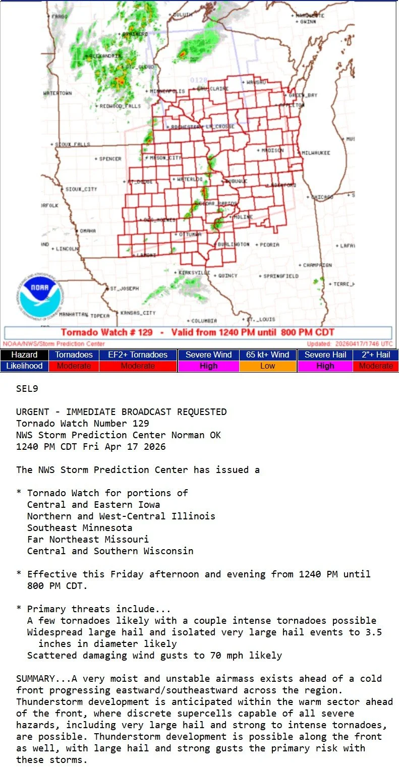
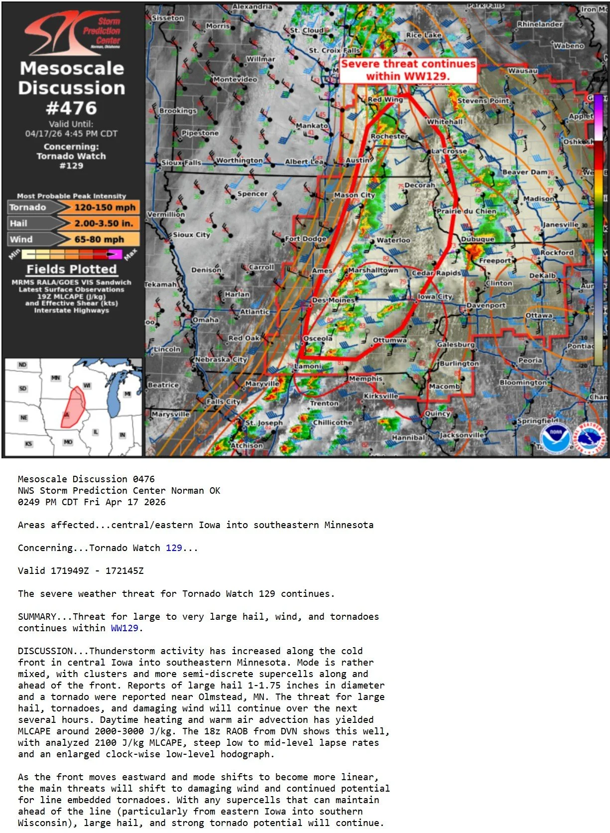
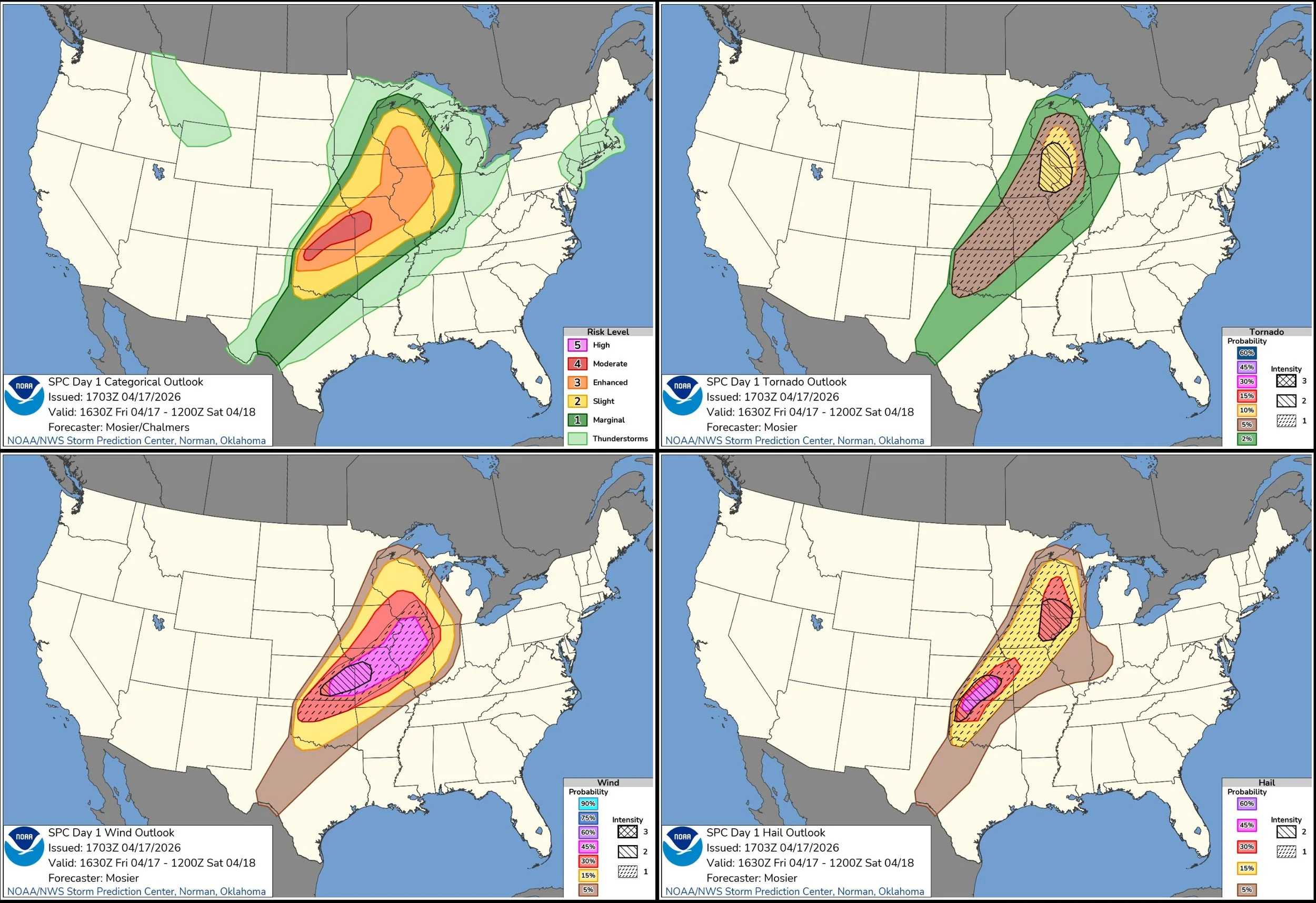
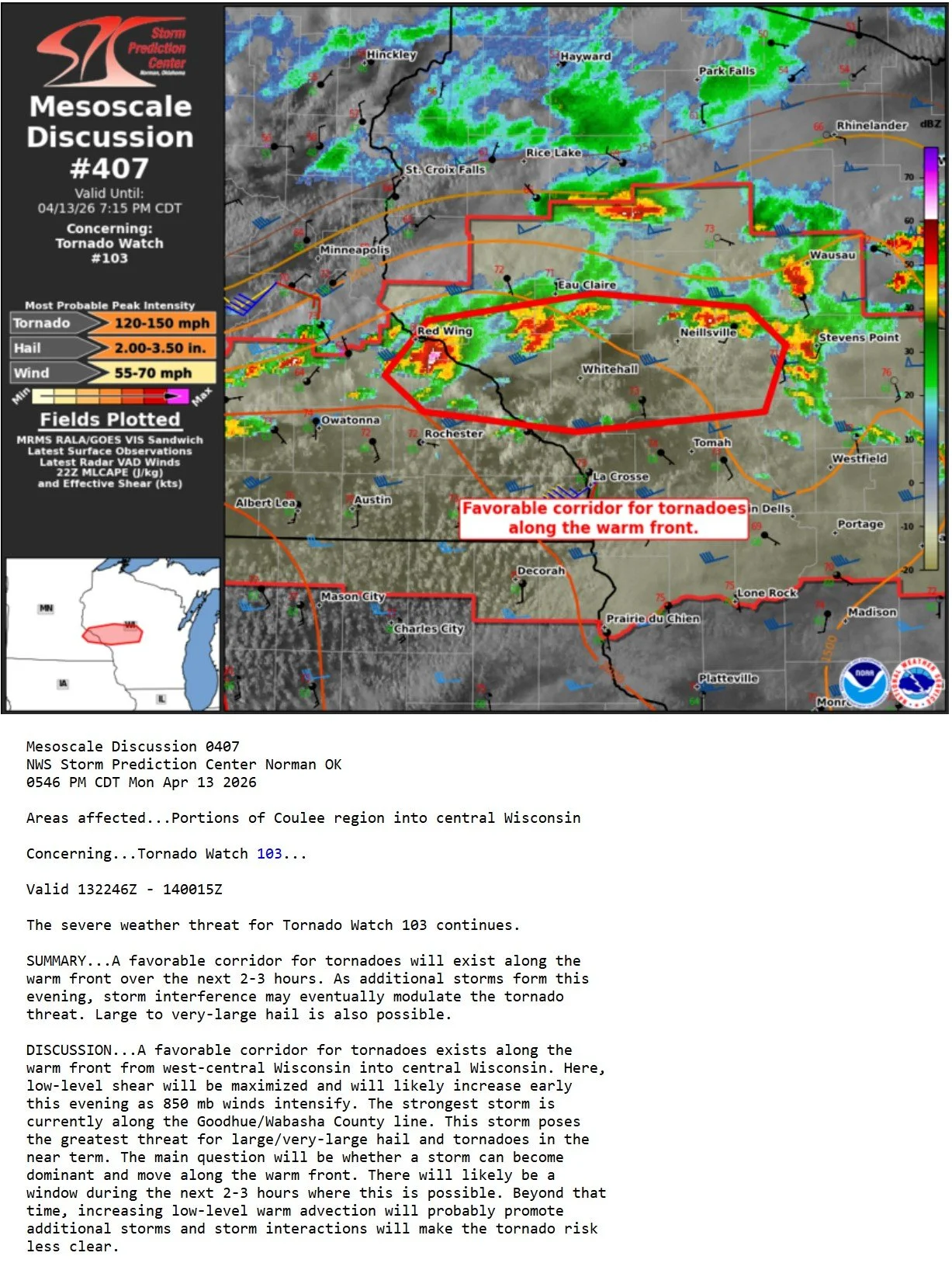
STORM PREDICTION CENTER OUTLOOKS:

APRIL 25, 2026 OKLAHOMA: SUPERCELLS AND A FEW BRIEF FUNNELS


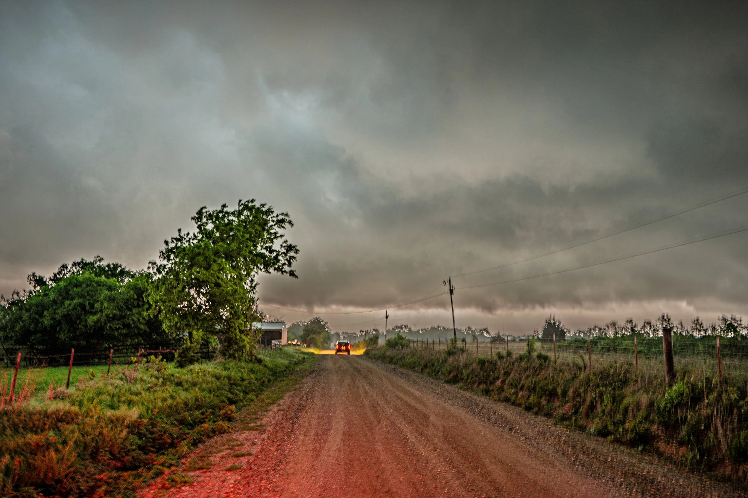
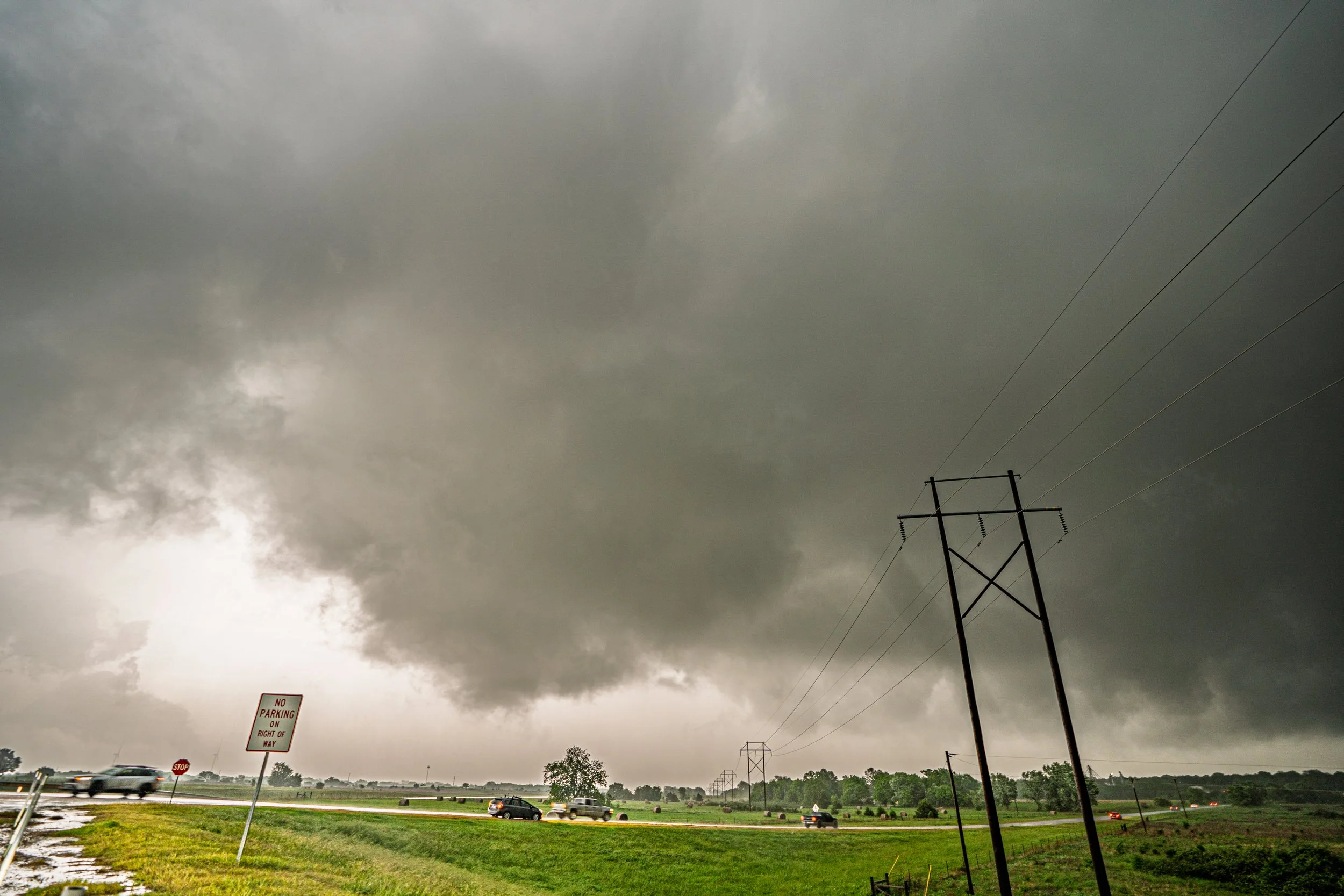
Initial storm and rotating, producing a brief funnel just over the trees near Roff, Oklahoma.
Another funnel cloud just above the tree straight ahead near Roff, Oklahoma.

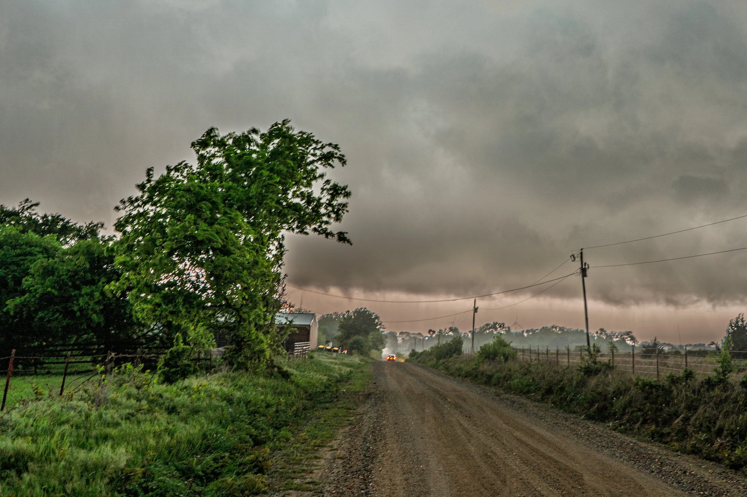
Another shot of the funnel that was condensating a bit more towards the ground as we were racing up the road to get closer.

The funnel lifted as we get closer, only 1 mile west of Roff at this point. Action area and rotating lowering was still present.

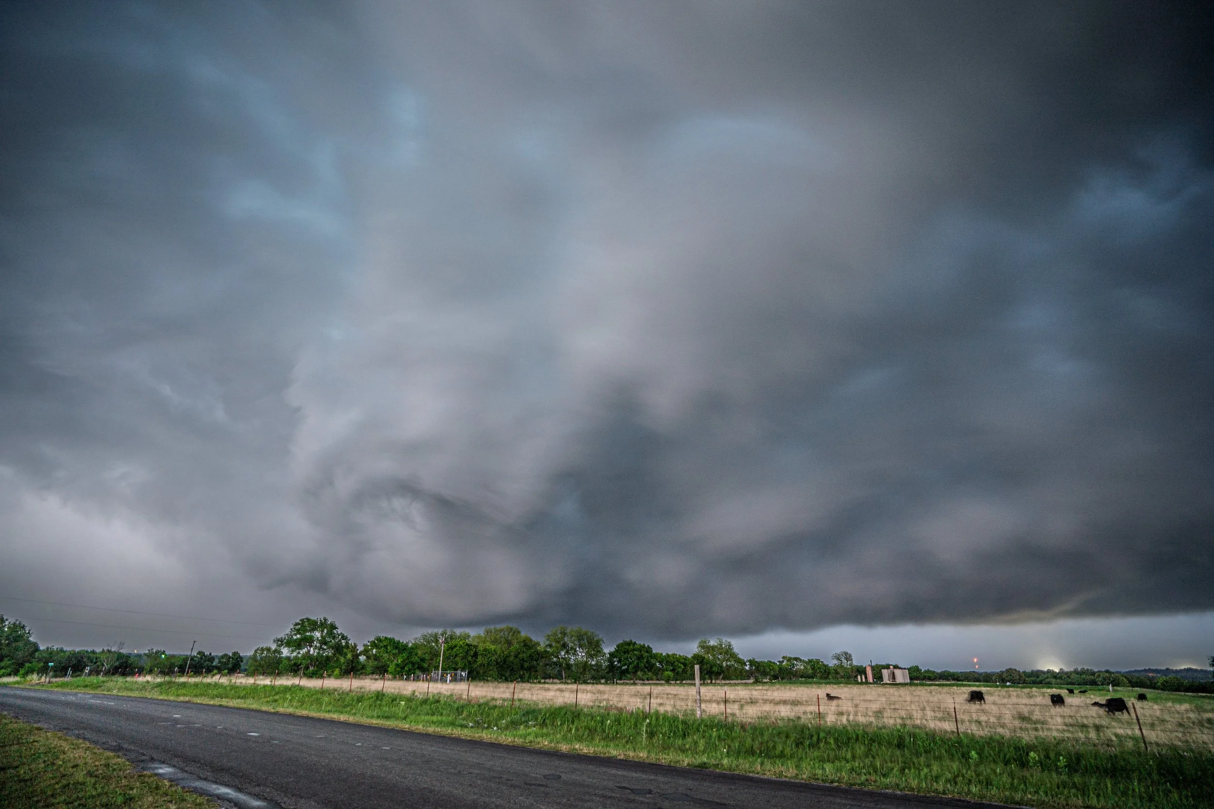
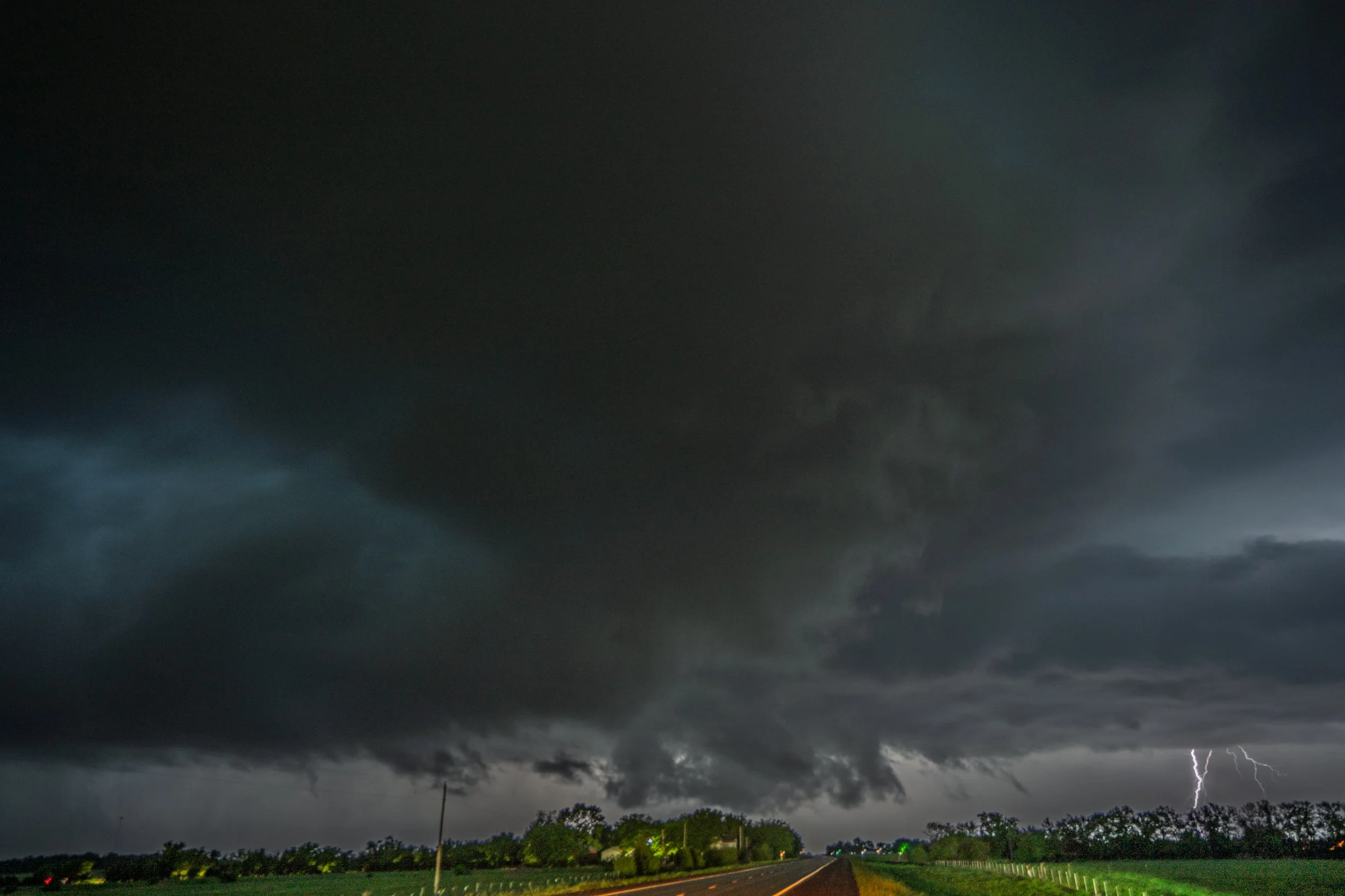
Bailed our initial storm and ended up on another severe warned storm near Katie, Oklahoma after sunset.

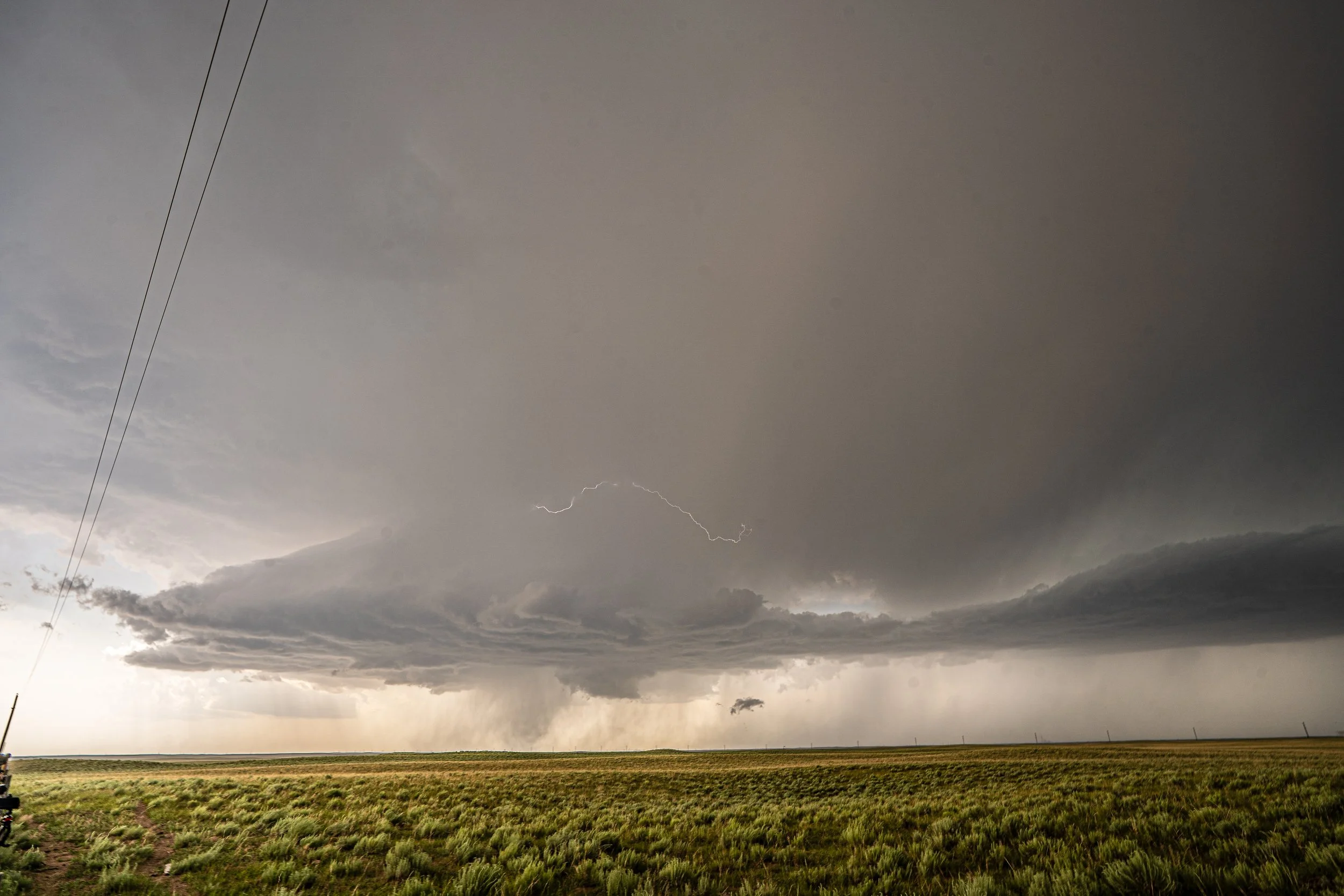
One last shot of the storm with a lightning bolt in the distance near Katie before we called the chase and headed towards Oklahoma City for the night to get ready for the next day.

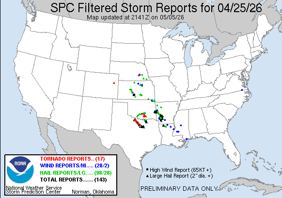
STORM REPORTS:

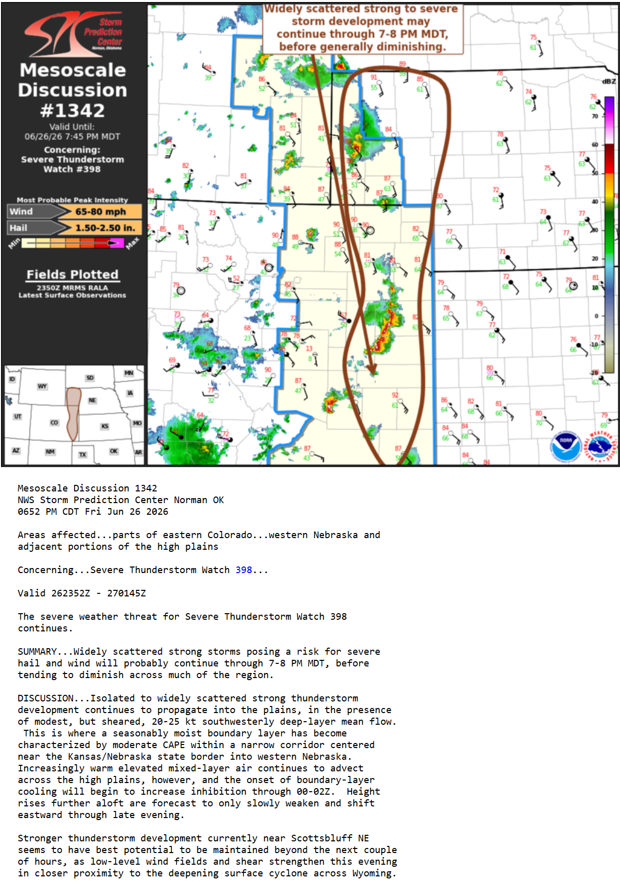
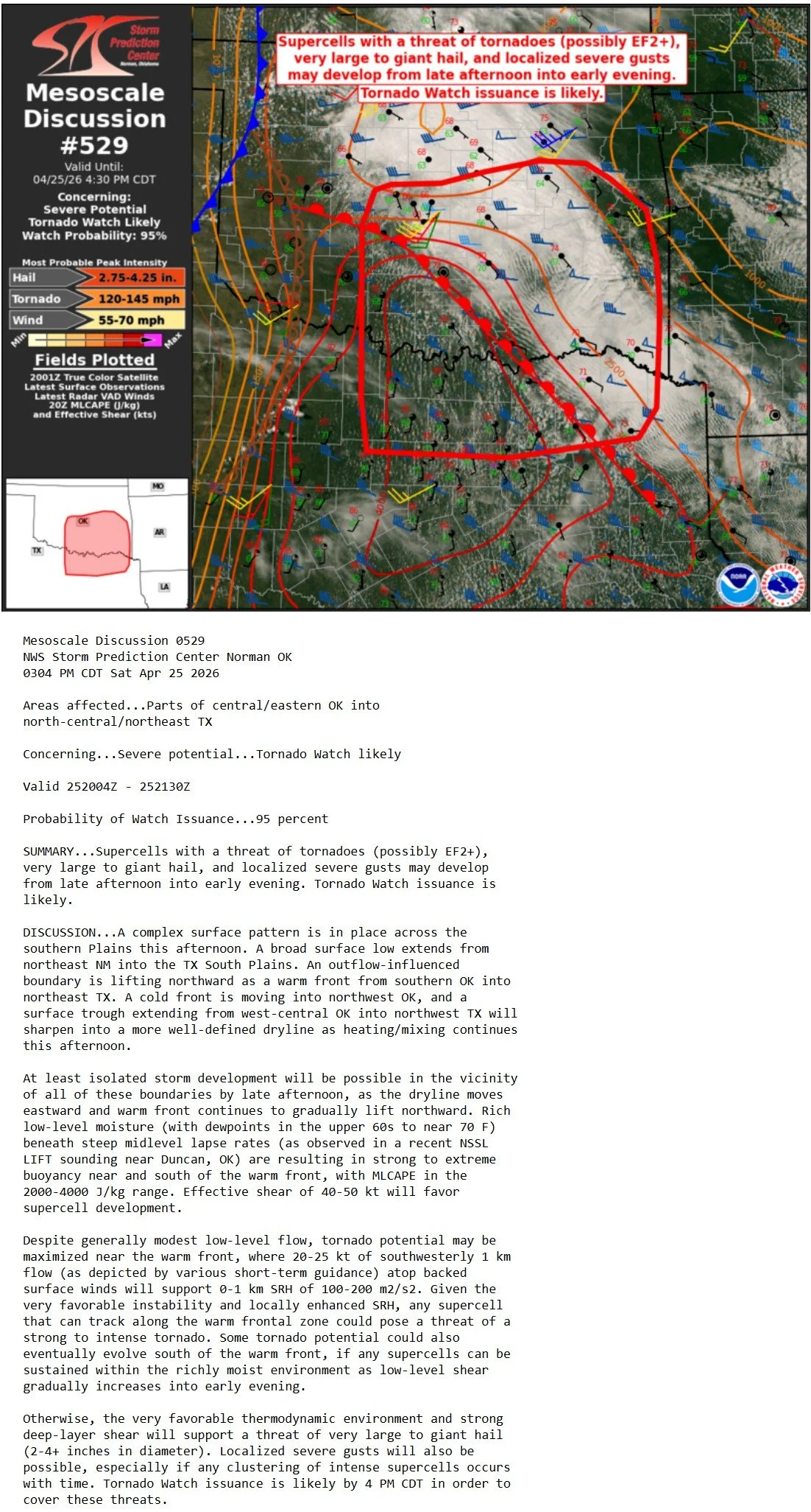
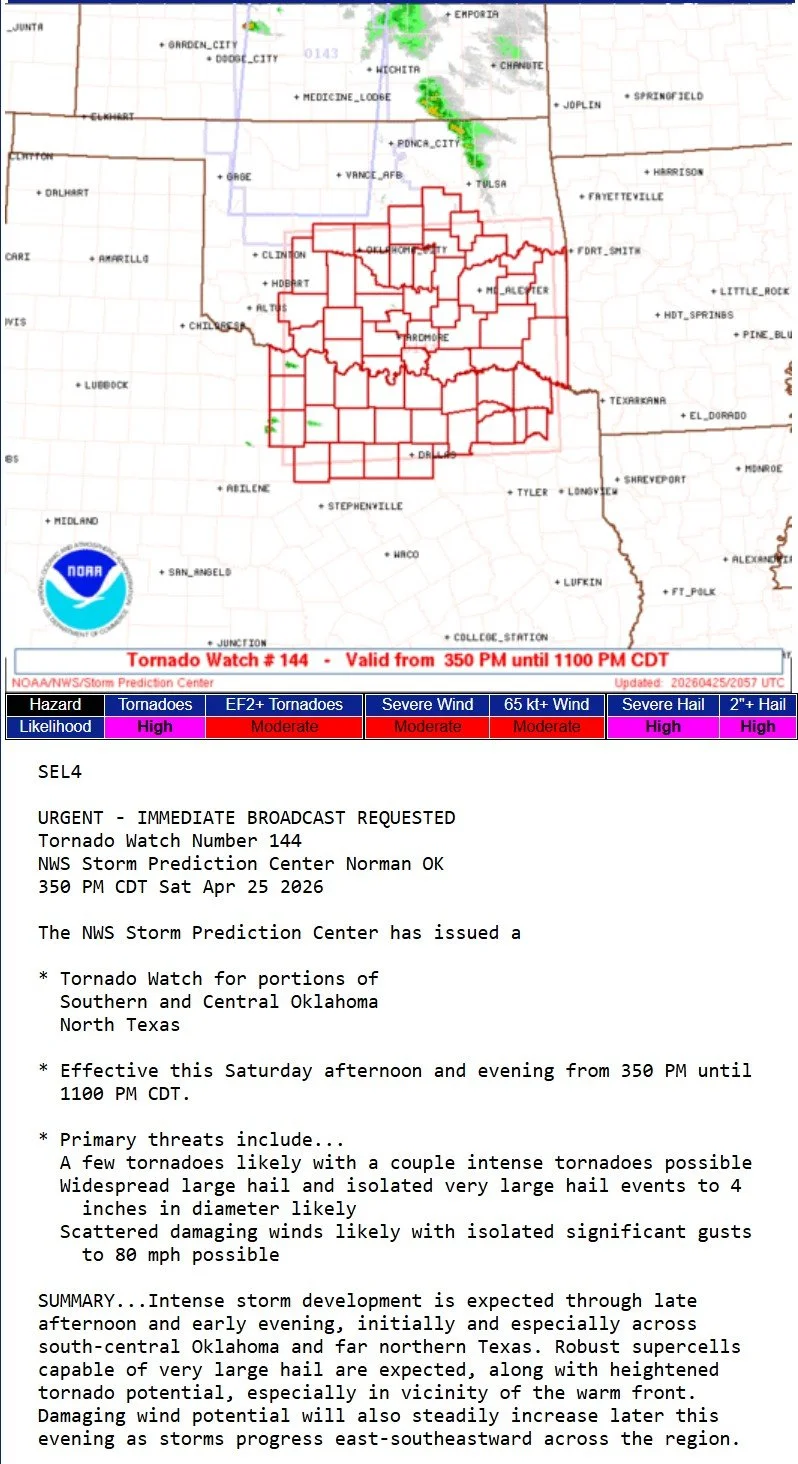
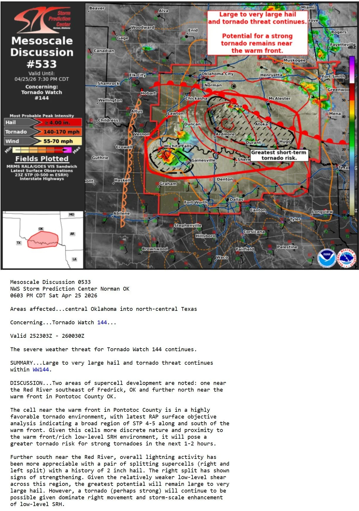
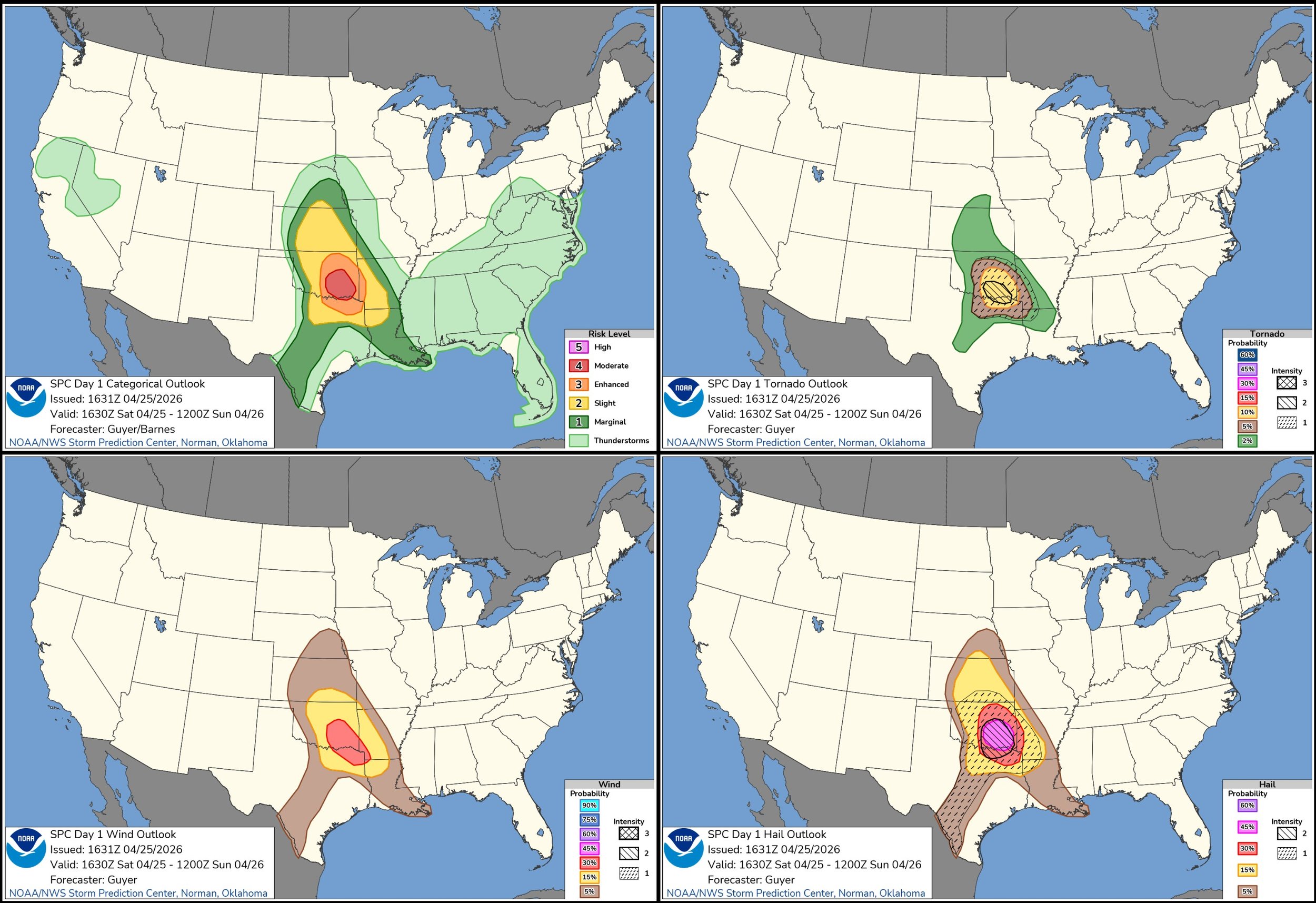
STORM PREDICTION CENTER OUTLOOKS:

APRIL 13, 2026 MINNESOTA: 2 TORNADOES NEAR TRUMAN


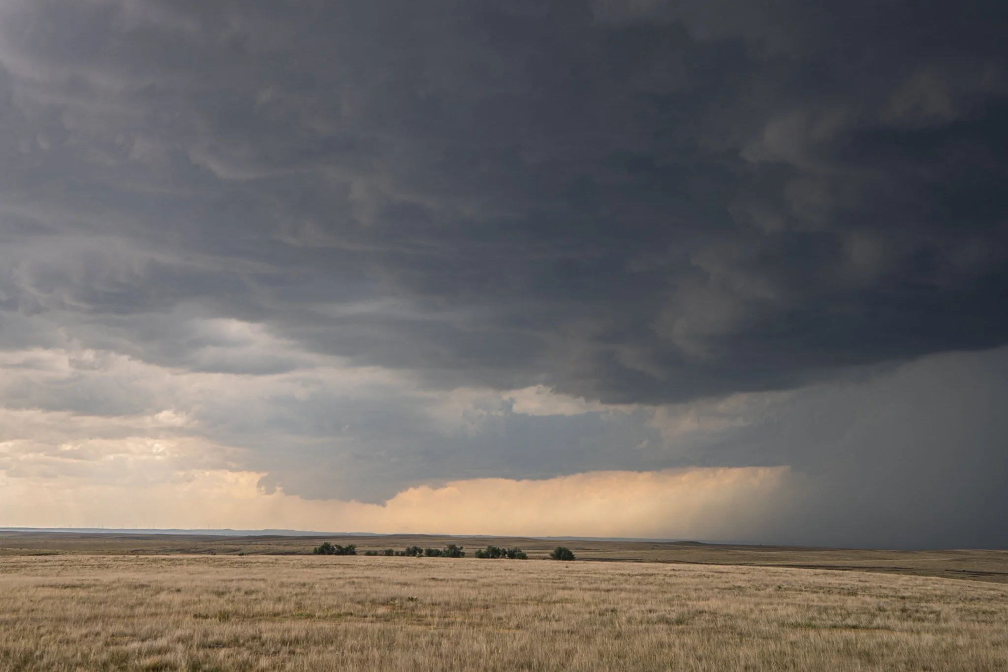
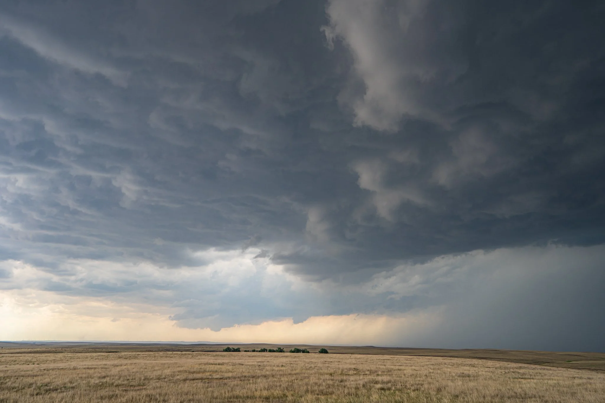
Initial storm near Trimont, MN feeding off the unstable atmosphere on the warm front.

Multiple vortex tornado number 1 northeast of Trimont, MN. This thing was twisting and turning underneath!

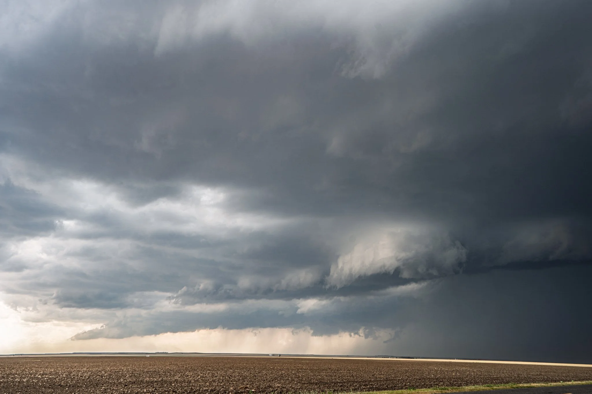
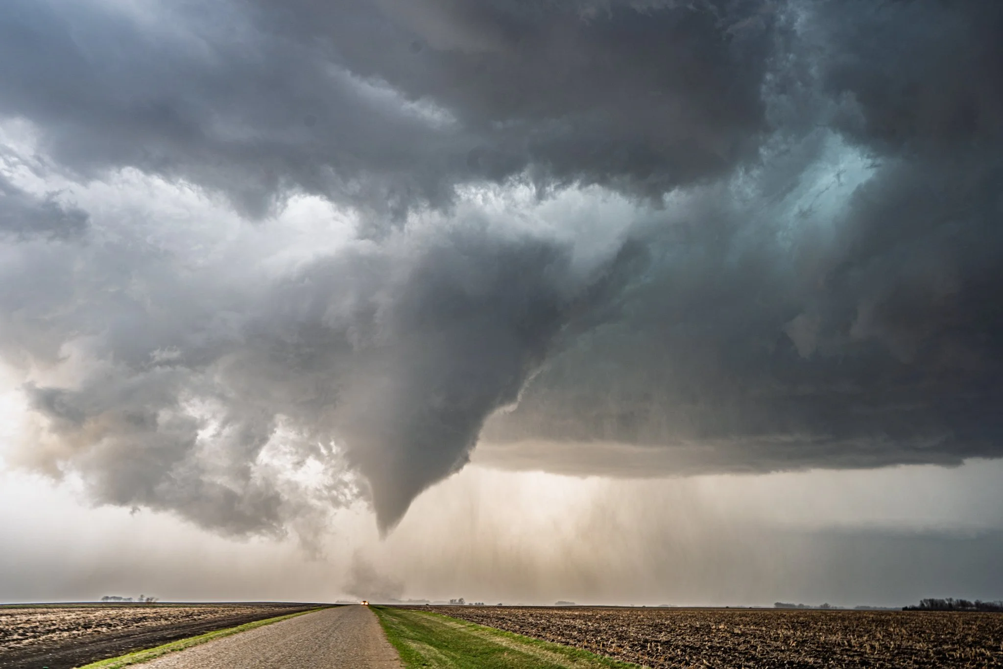
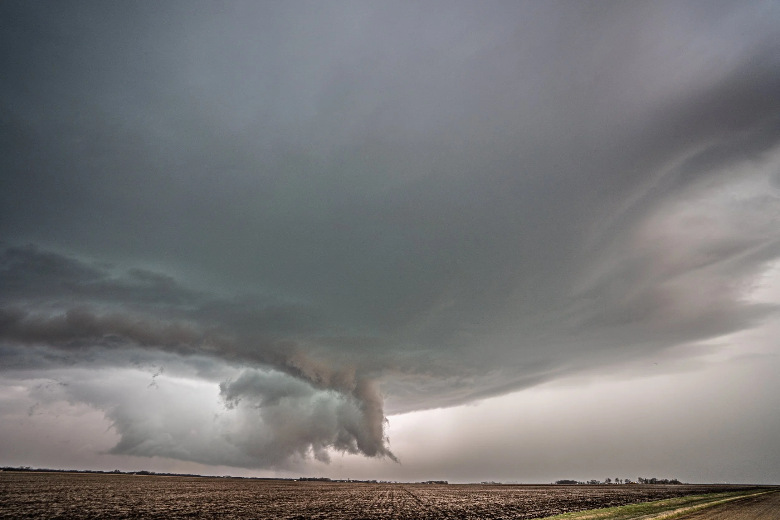
Amazing tornado and structure near Truman, MN. Can really notice that clear slot cutting in on the left (southwest side of the storm).

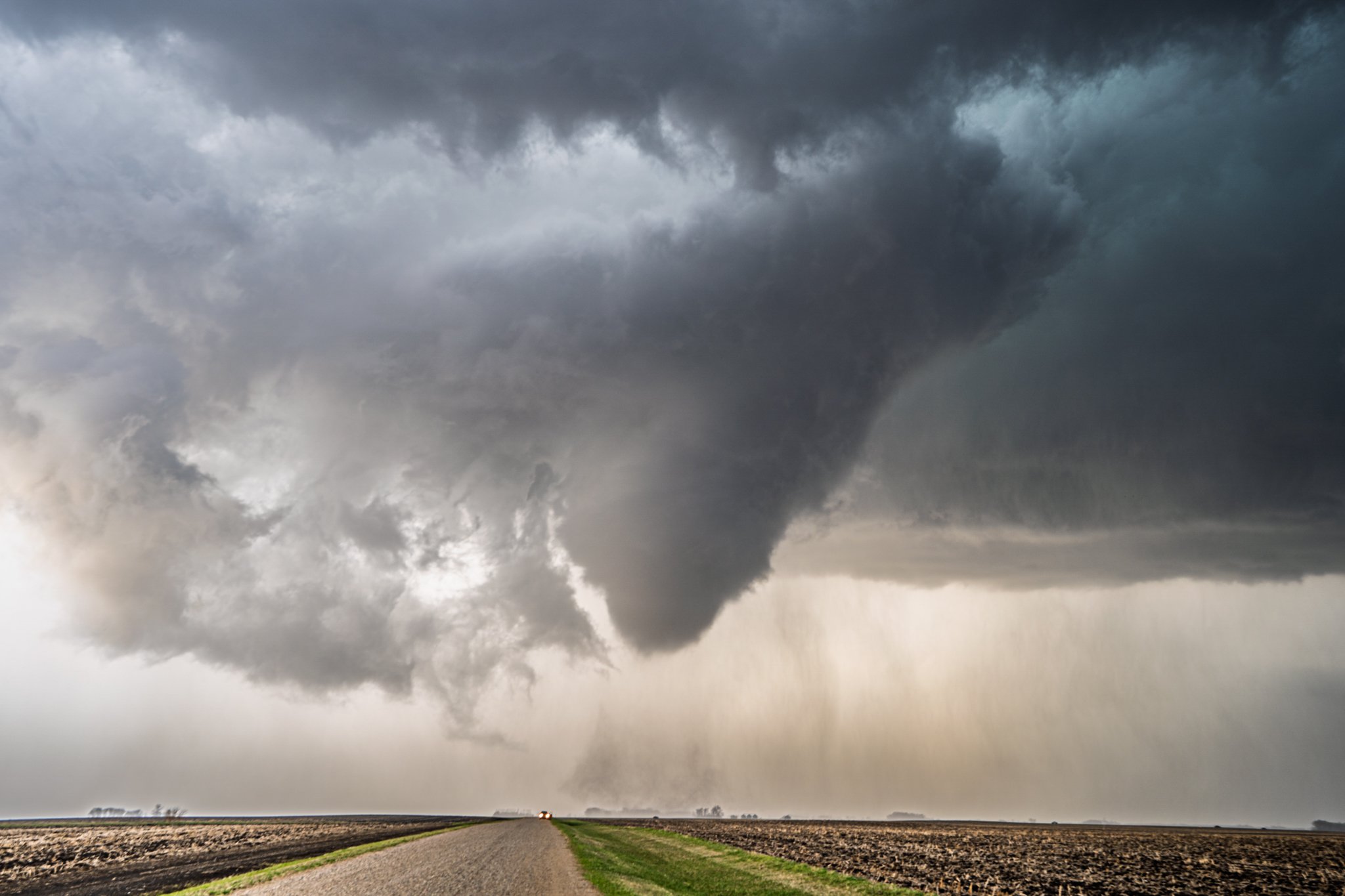
Tornado stirring up a larger debris field and becoming wider, still holding on strong. The tornado was later rated an EF-1 with peak winds estimated at 90 mph.

The tornado lifted for 6 minutes before dropping back down and producing another to the northeast of Truman near the small town of Willow Creek. Although I had originally counted this as a third tornado, the NWS damage survey confirmed this was a continuation of the same circulation and the previous tornado that had touched down.

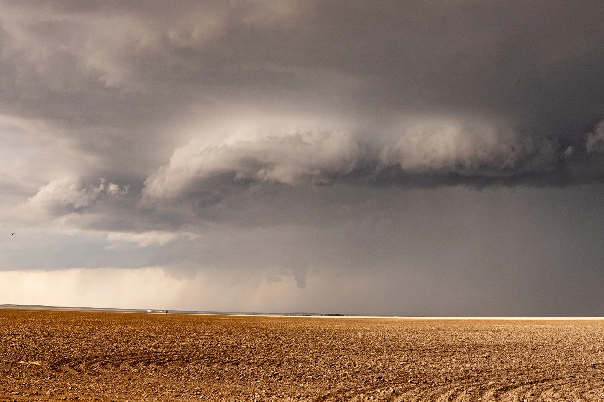
Tornado about to lift as we drove north to get closer to the circulation. The tornado started at 6:15 PM and ended at 6:40 PM with an estimated path length of 8.49 miles.

Big fat funnel cloud as the tornado lifted to the west of Amboy as we continued to drive closer to the circulation. Even though there were a lot of chasers out for this one, it was very easy to manage due to the gridded road system and the gravel roads across southern Minnesota.

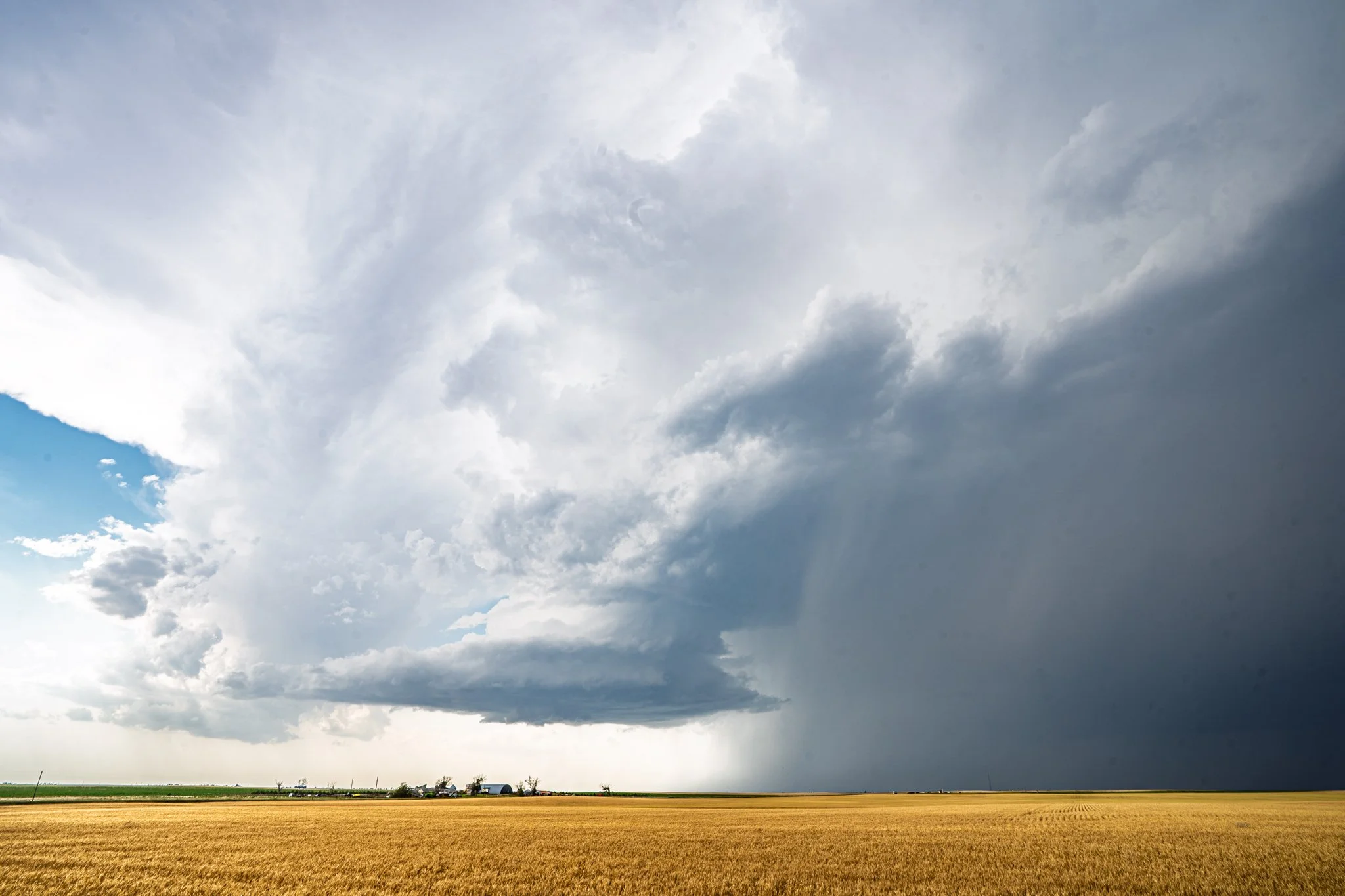
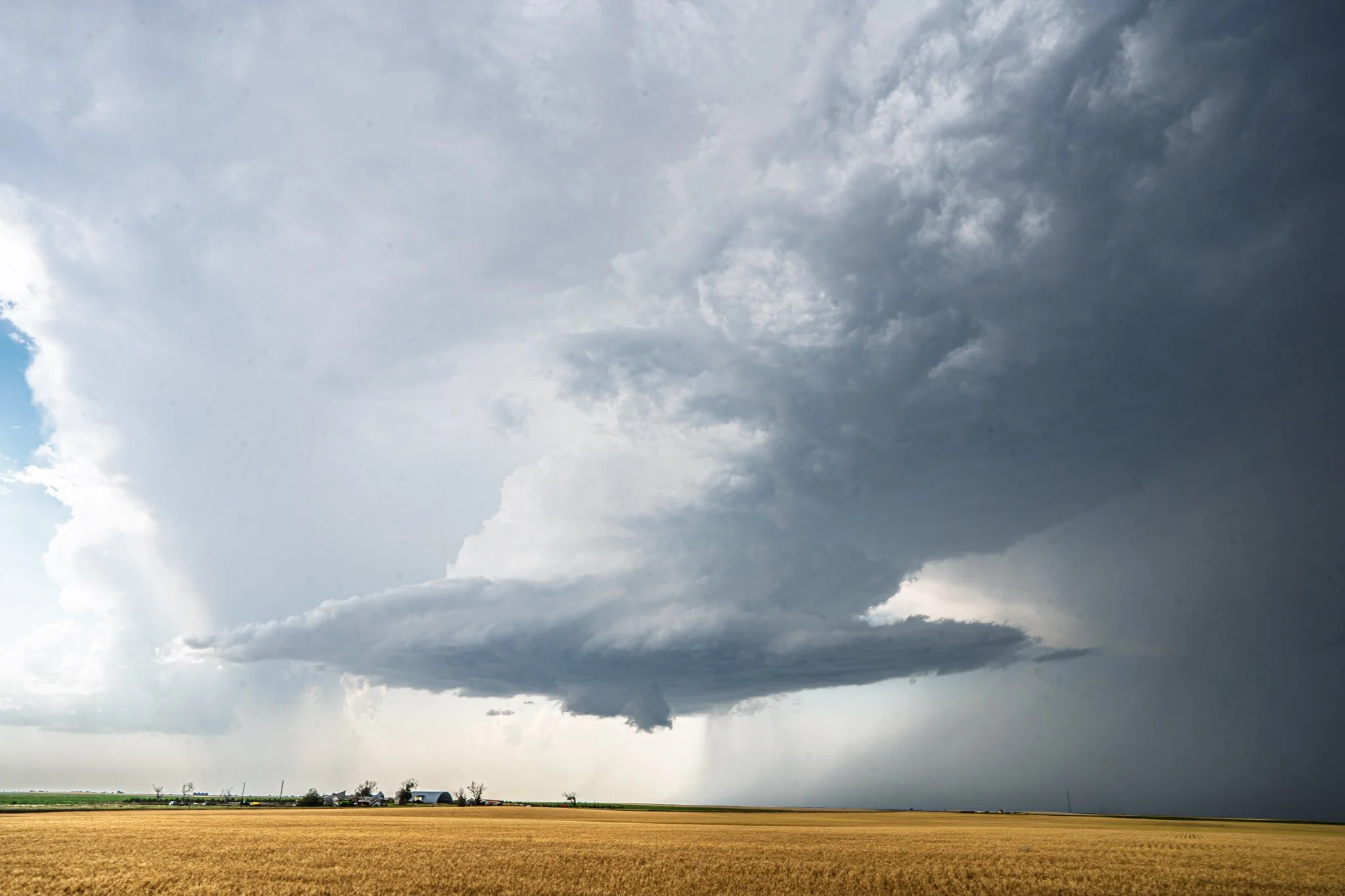
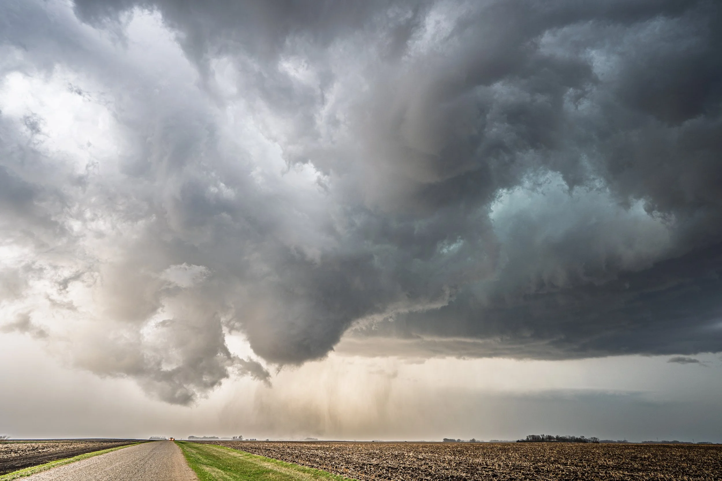
As we progressed east at the end of the chase, it continued to produce wall clouds and areas of rotation, as well as some continued photogenic structure! This same storm produced an EF-1 tornado near Hartland later in the evening.

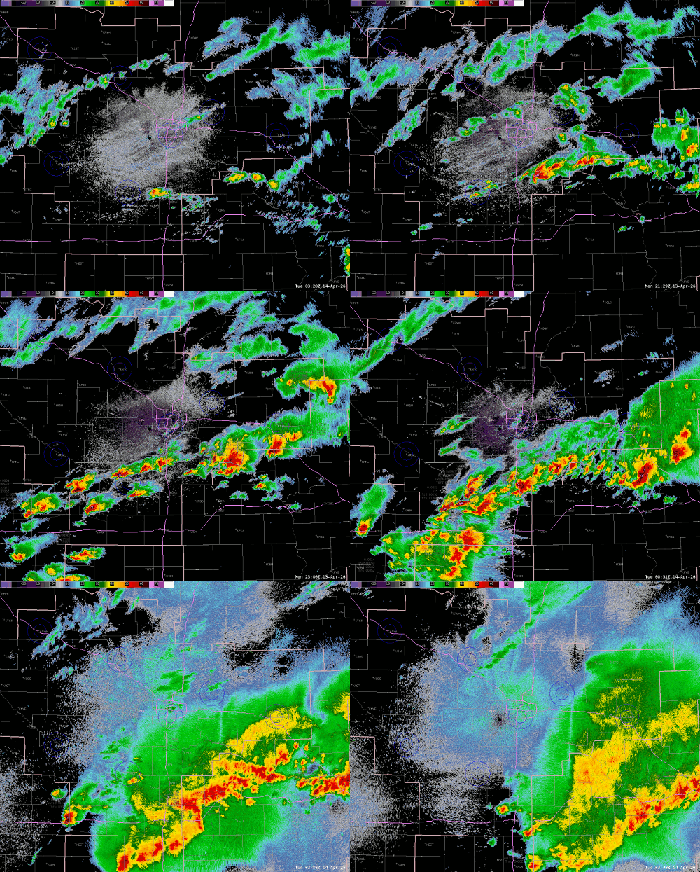
Radar loop of the event. The Truman storm is in the bottom left. Classic right-moving supercell on the warm front.

STORM REPORTS:

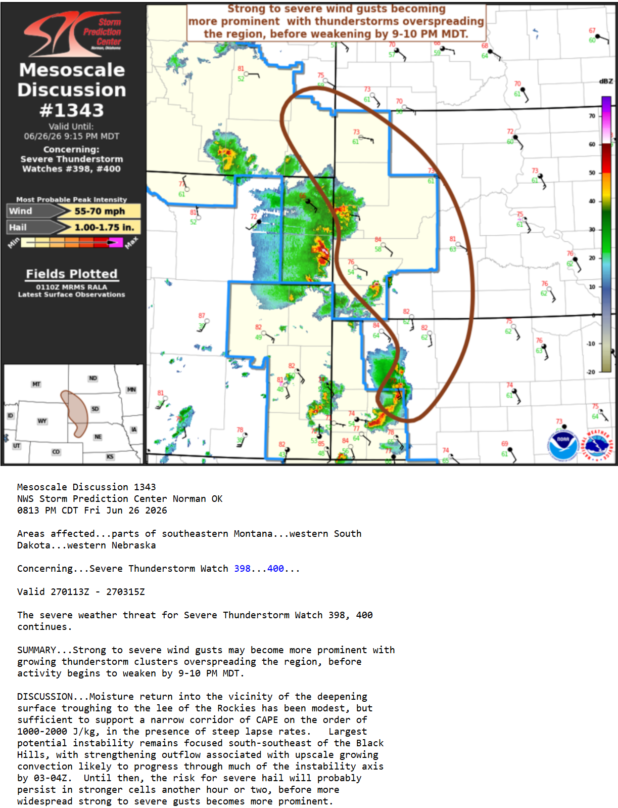
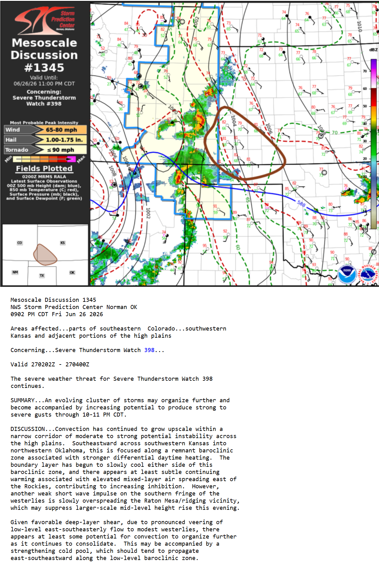
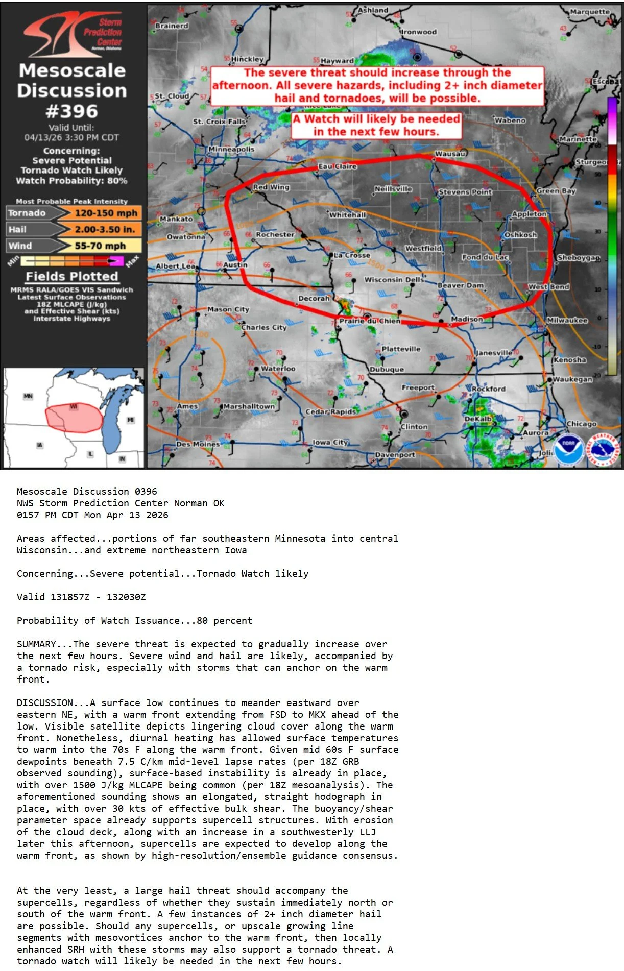
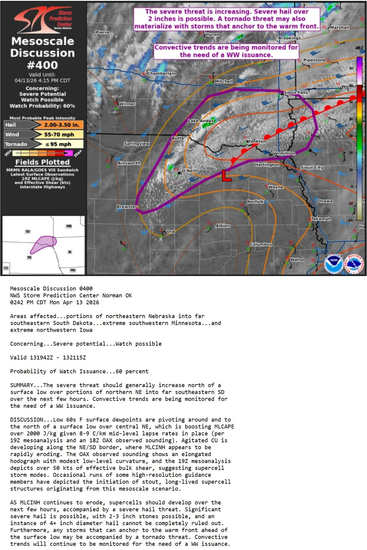
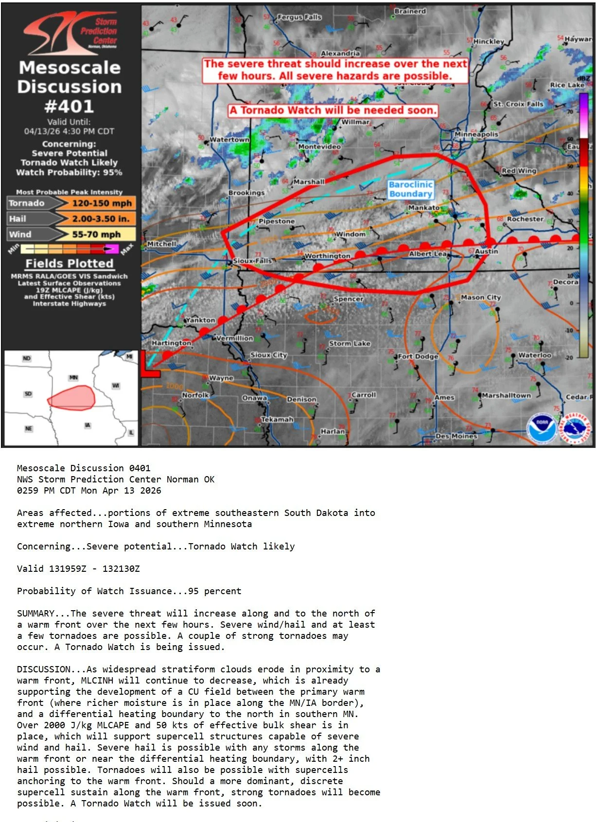
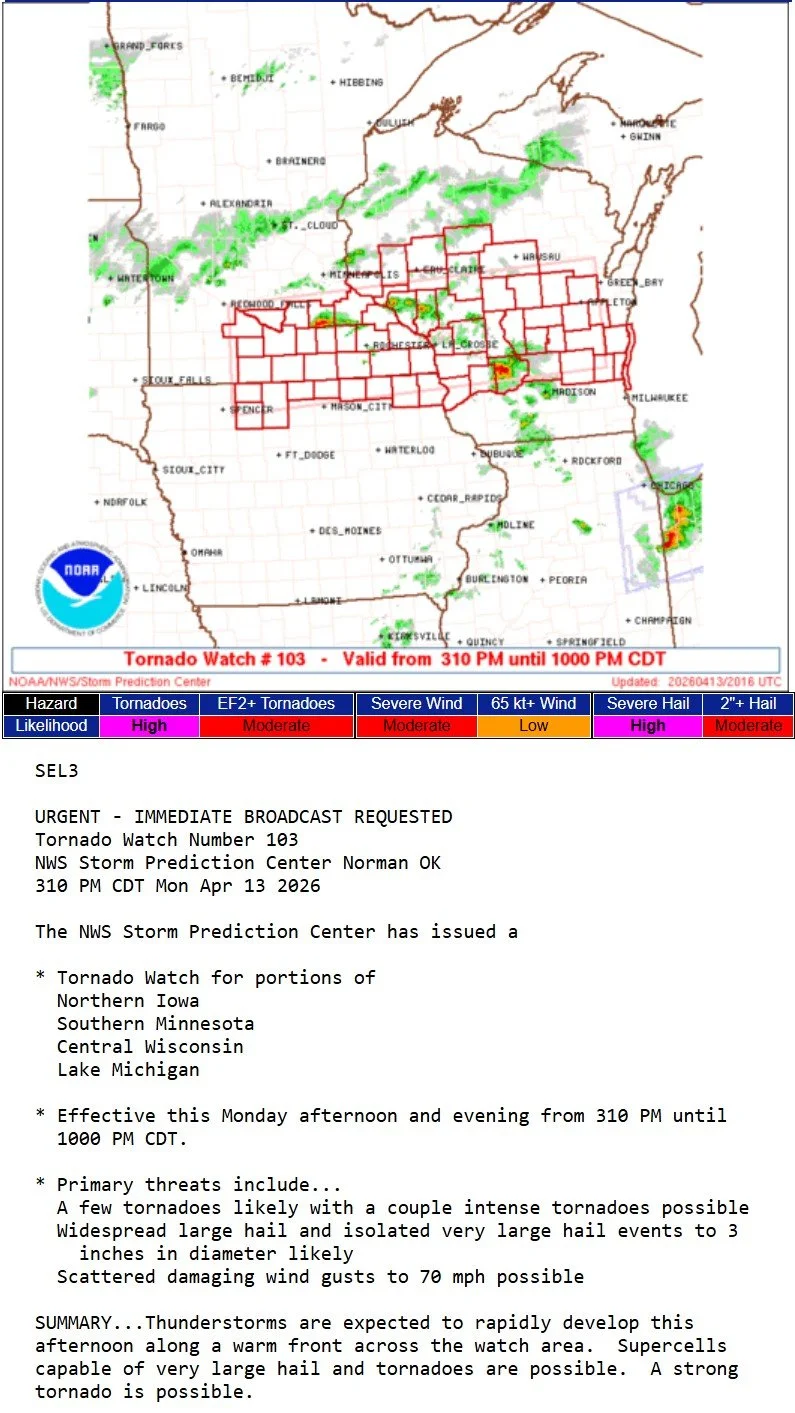
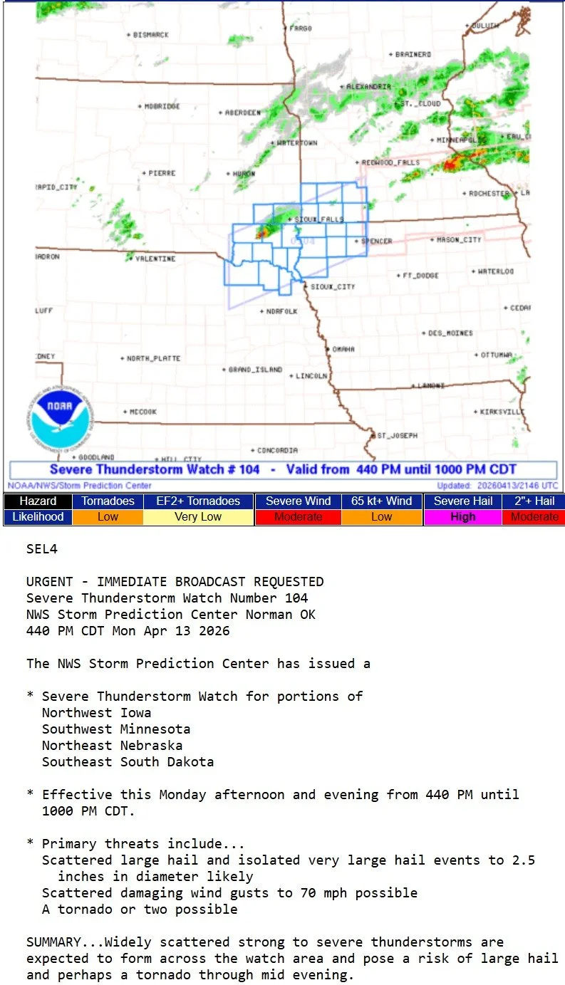
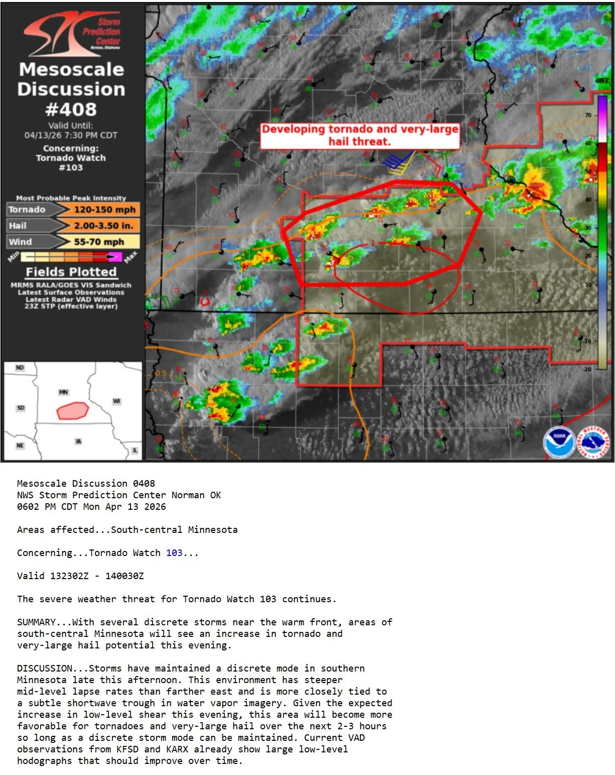
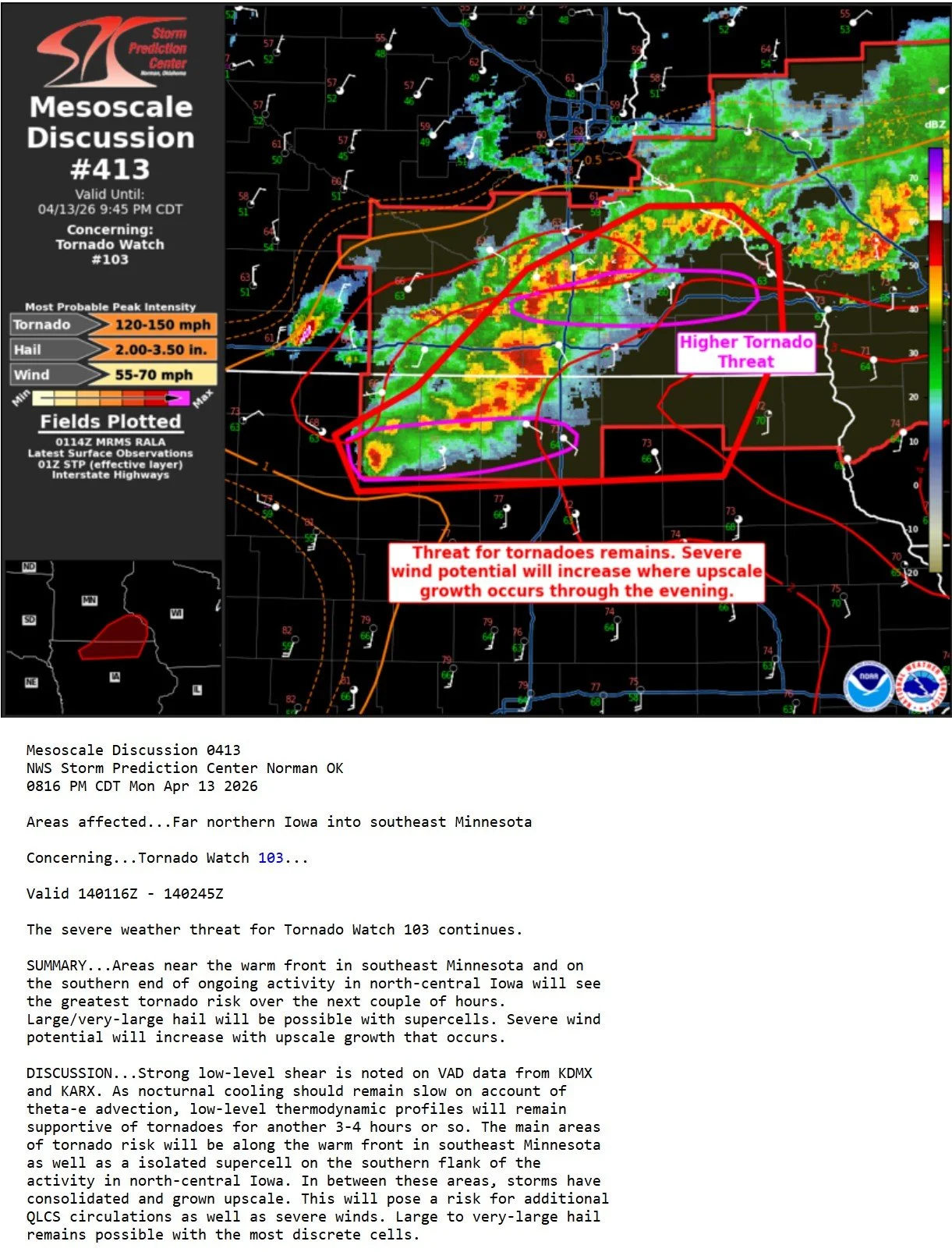
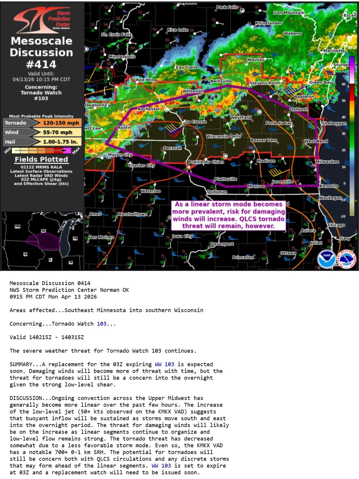
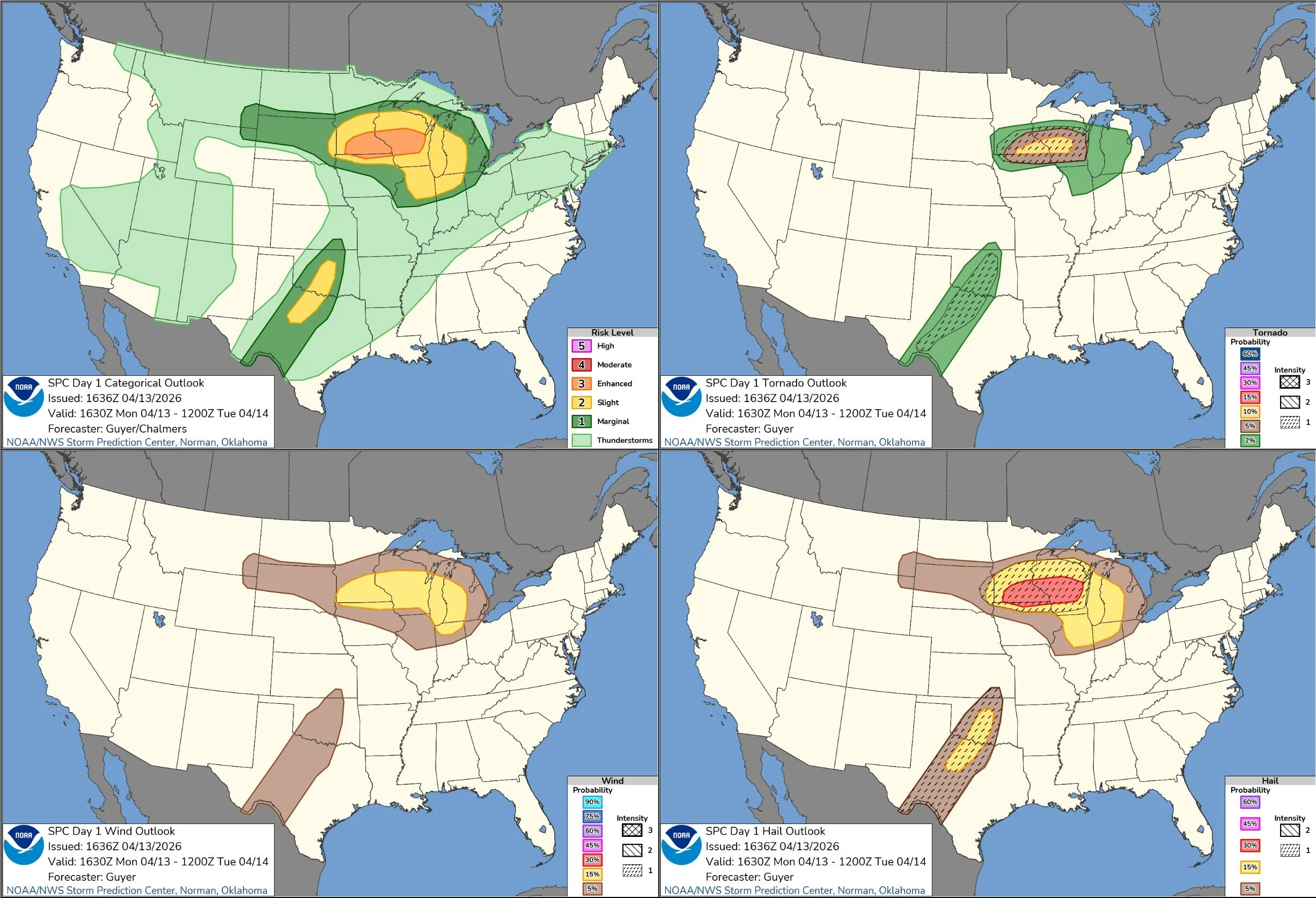
STORM PREDICTION CENTER OUTLOOKS: