JUNE 10, 2026 MINNESOTA & WISCONSIN: EARLY DAY FUNNEL CLOUD AND SHELF CLOUDS
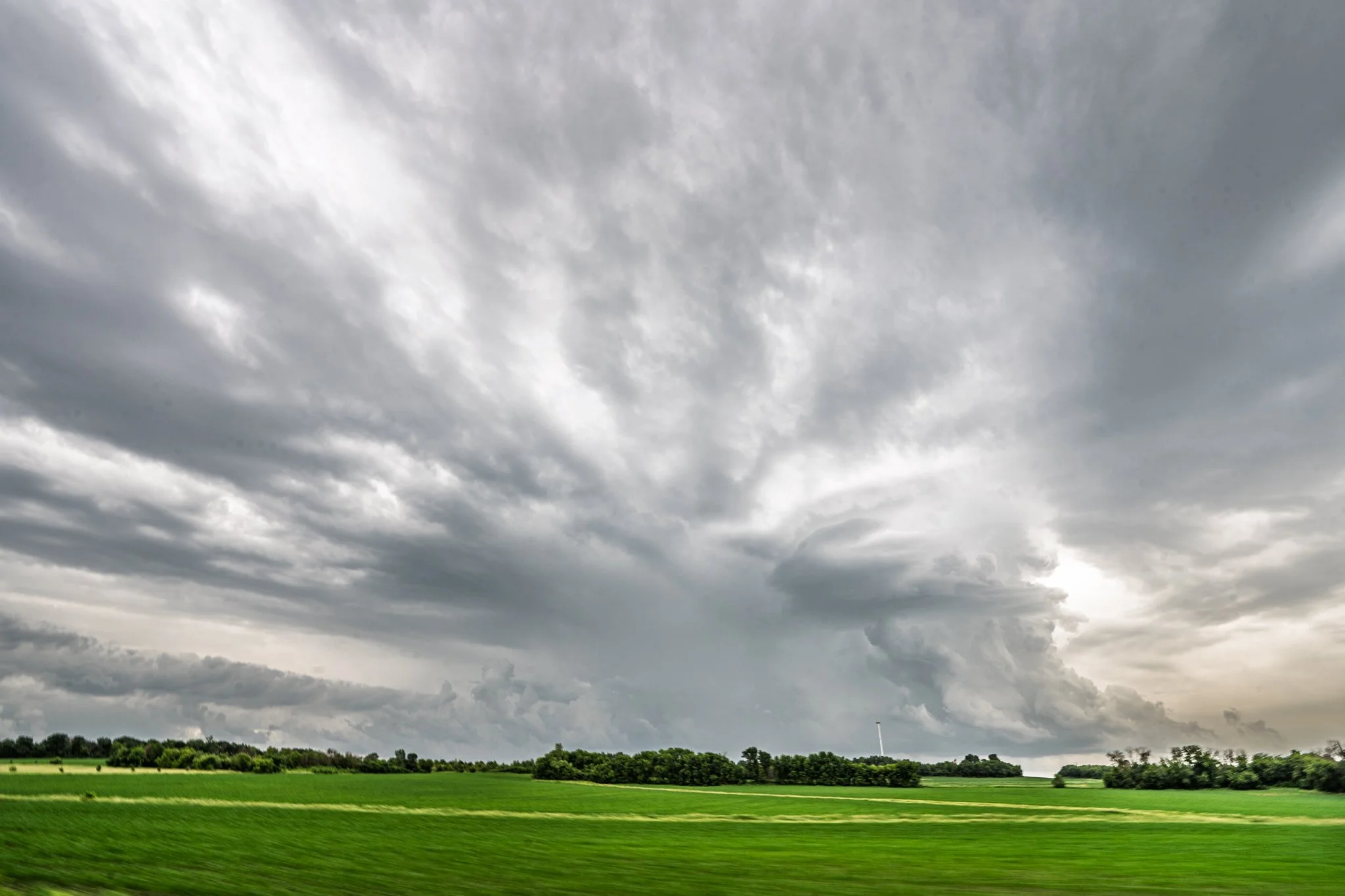
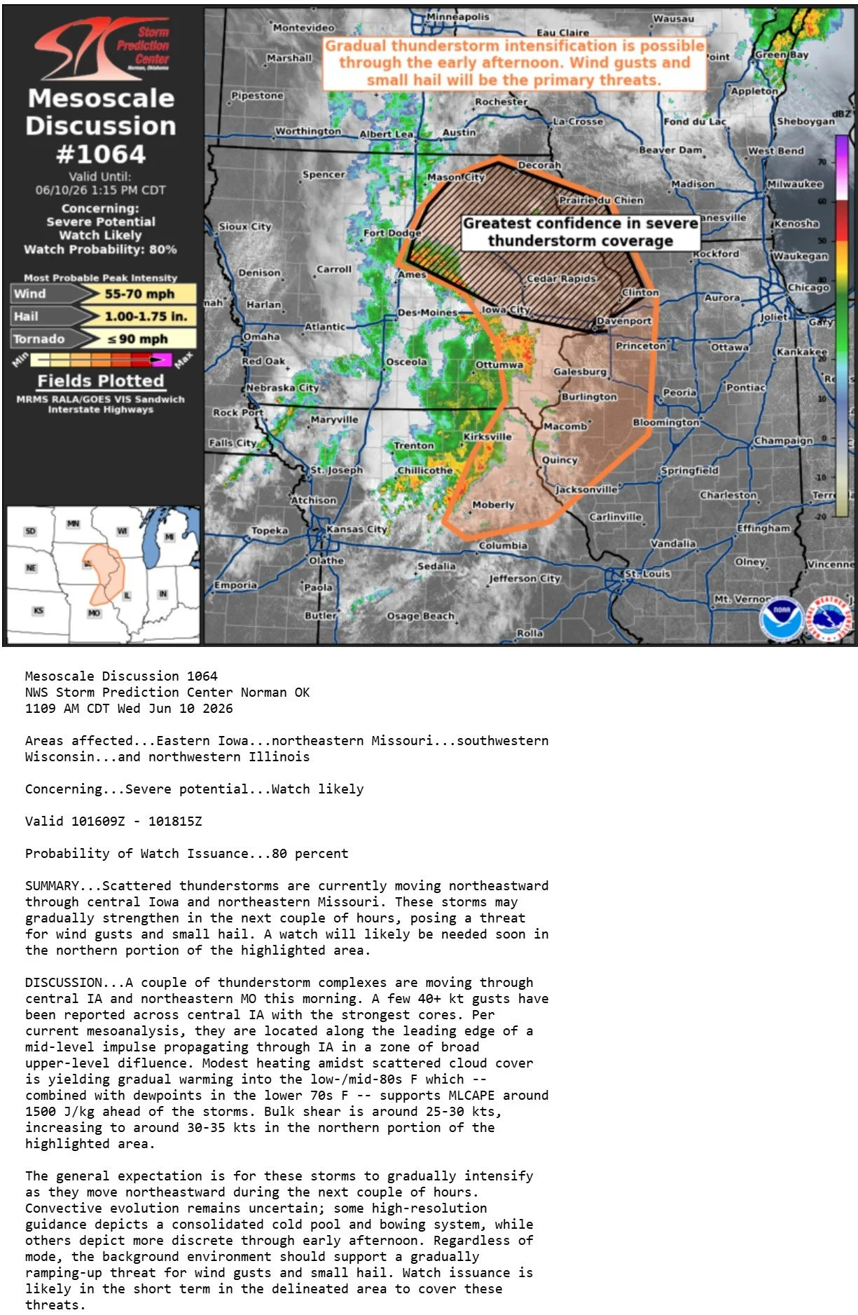
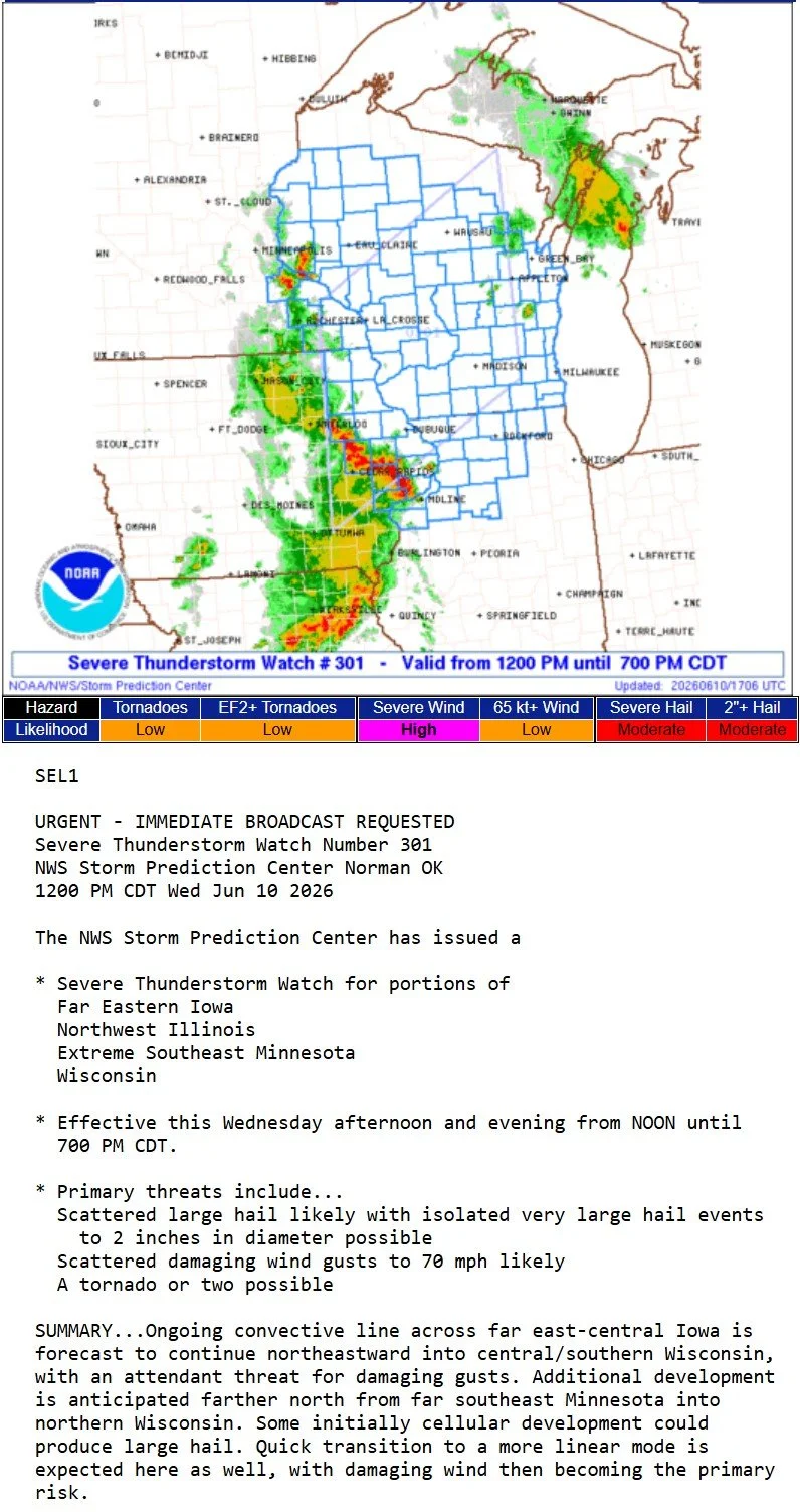
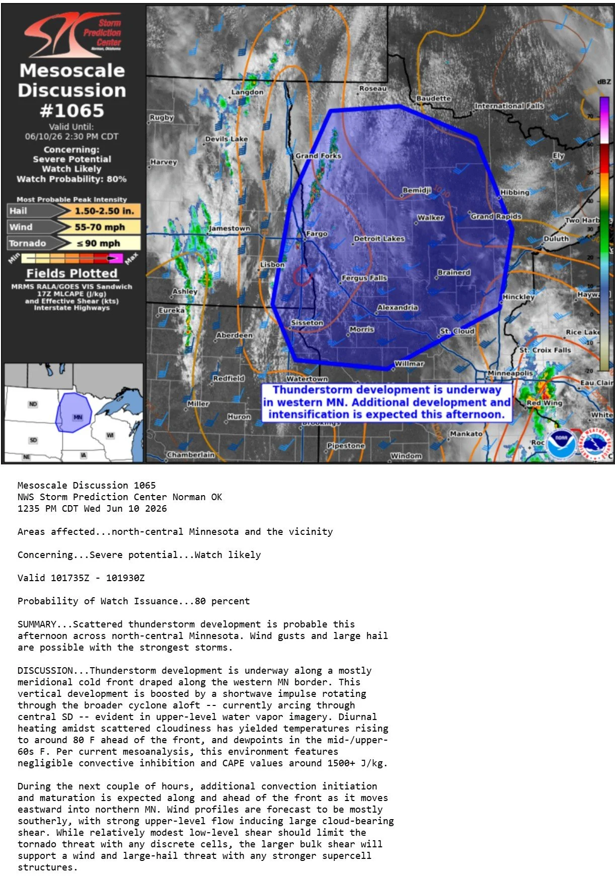
Severe warned thunderstorm near Cannon Falls, MN. We were moving east on Hwy 50 to try and get ahead of these storms when they formed near the I-35 corridor shortly before noon. Was not planning to leave this early but when storms formed you have to drop everything and go!
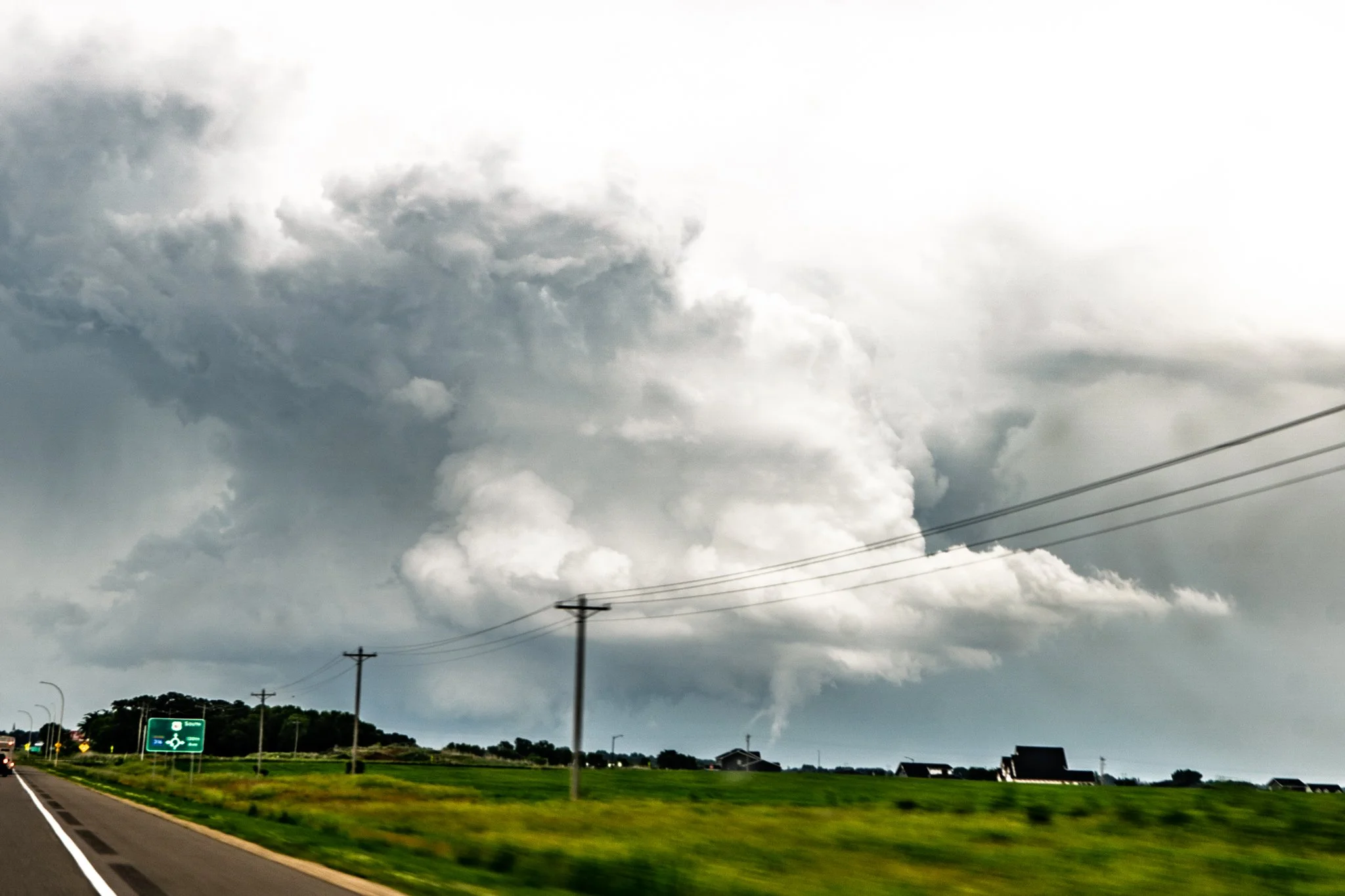
Funnel cloud as we were approaching the storm on Hwy 61 near Welch, MN. Never could confirm if this actually touched down or not and was never confirmed.
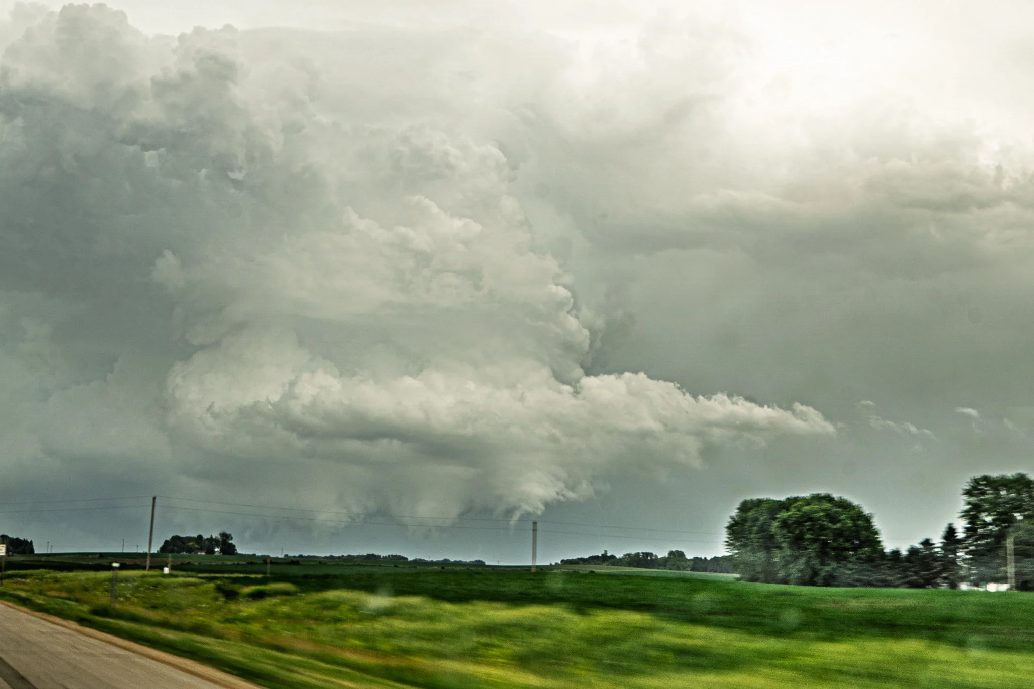
Another shot of the funnel cloud as it appeared to be roping out here near Welch, MN.
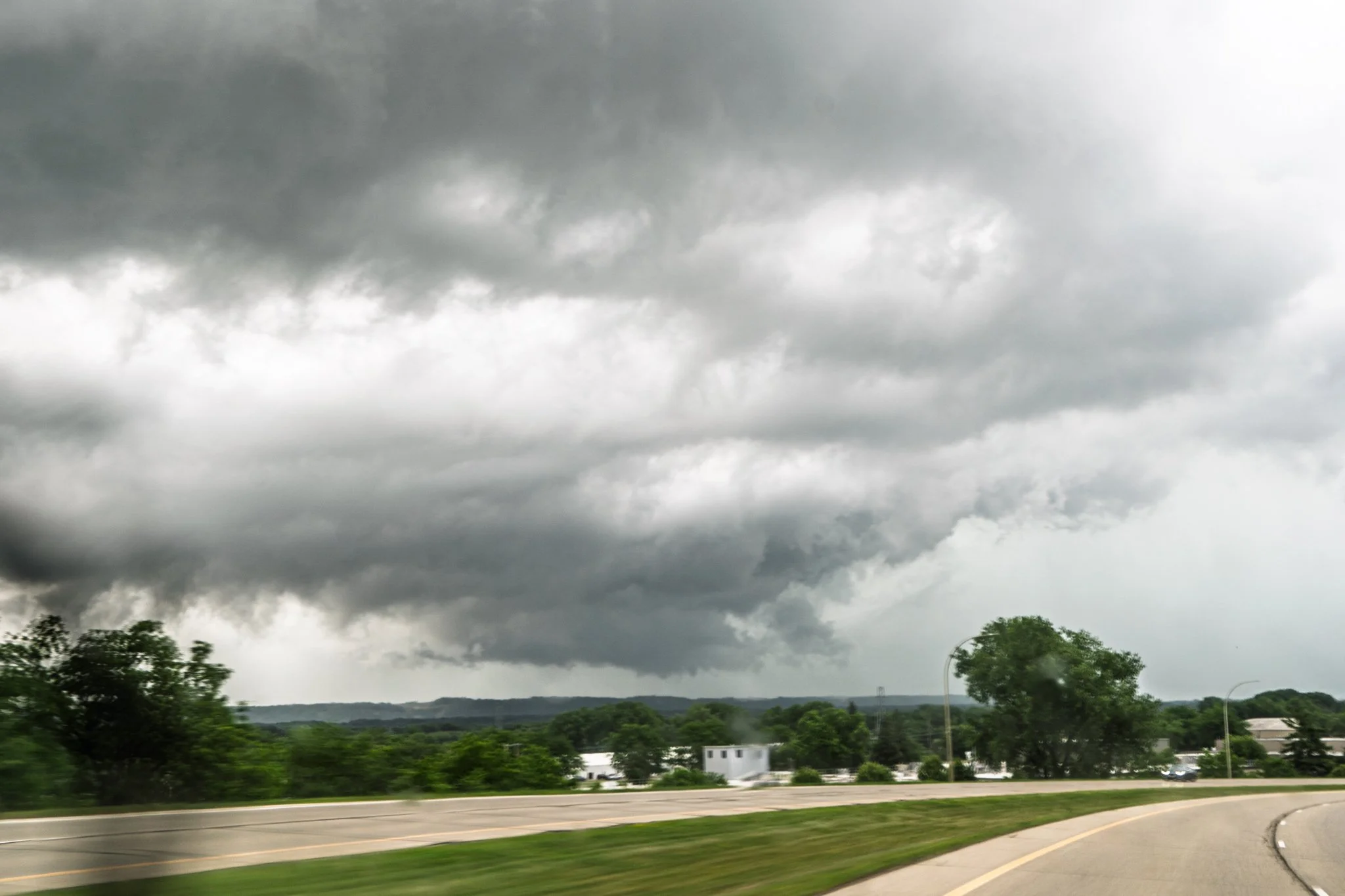
Wall cloud on the storm as we got closer, looking northeast in Red Wing, MN.
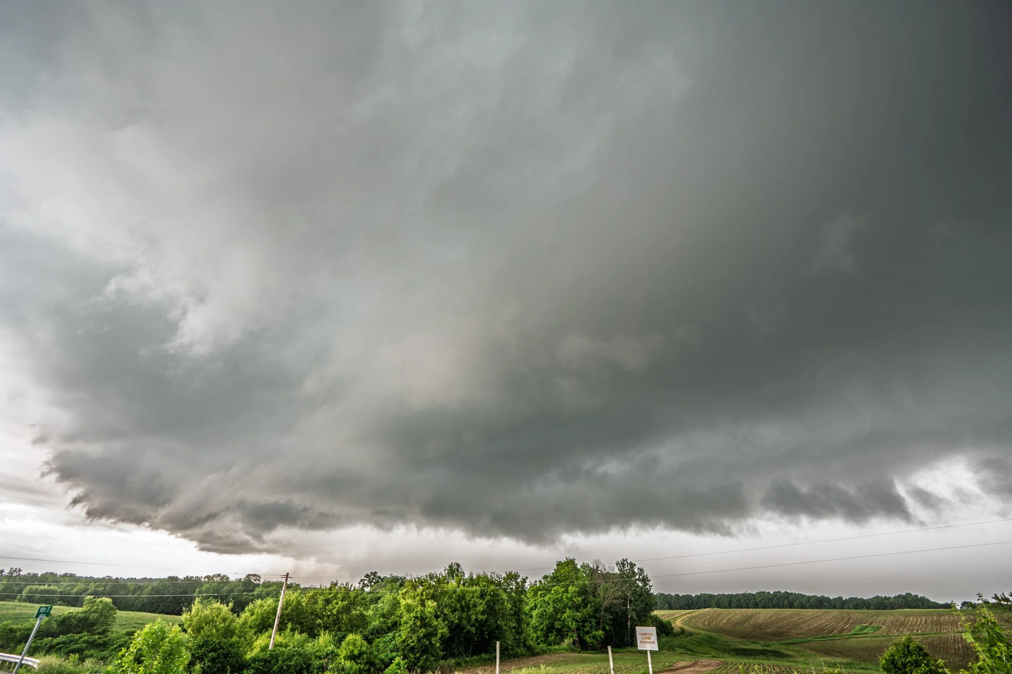
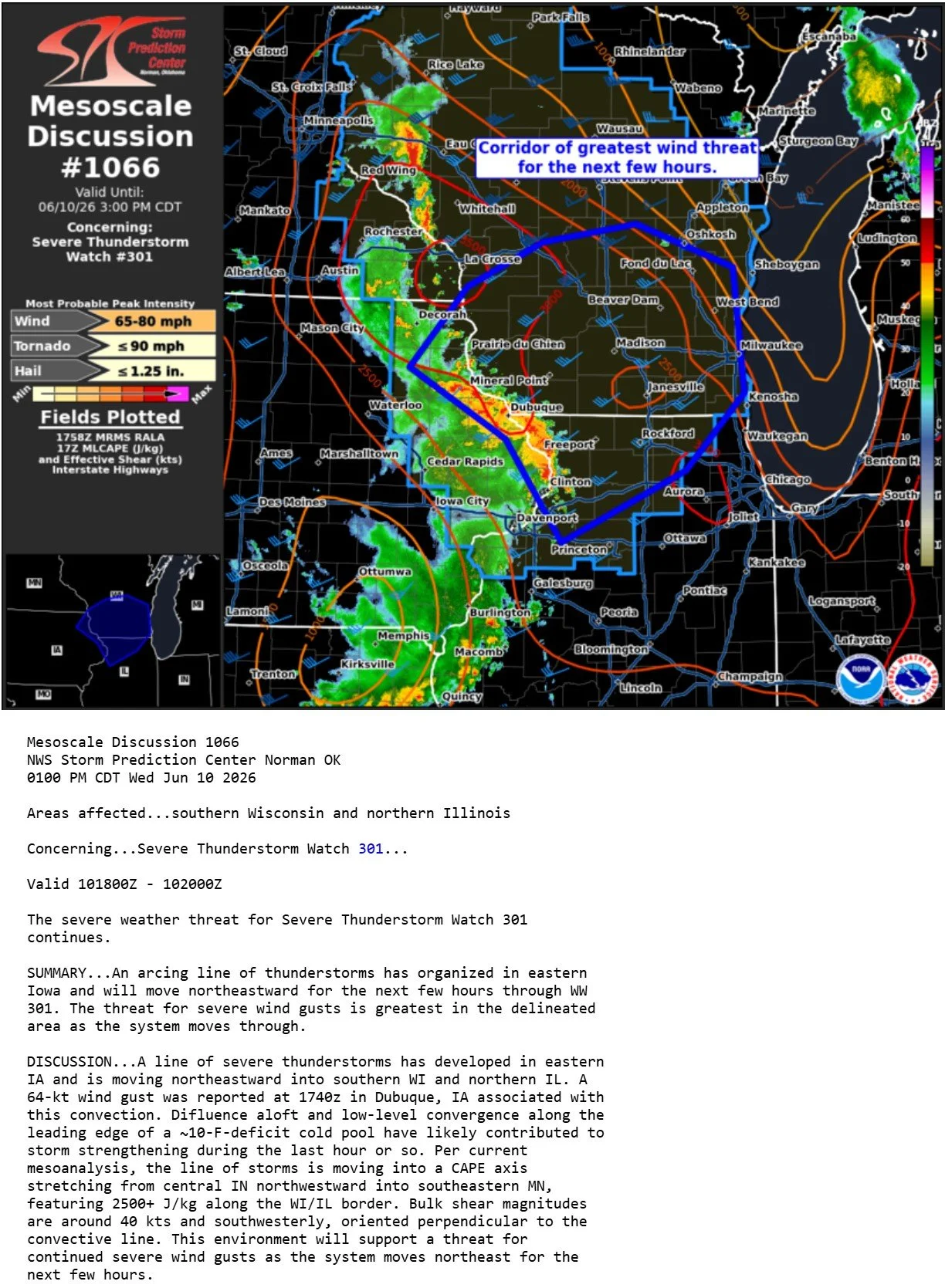
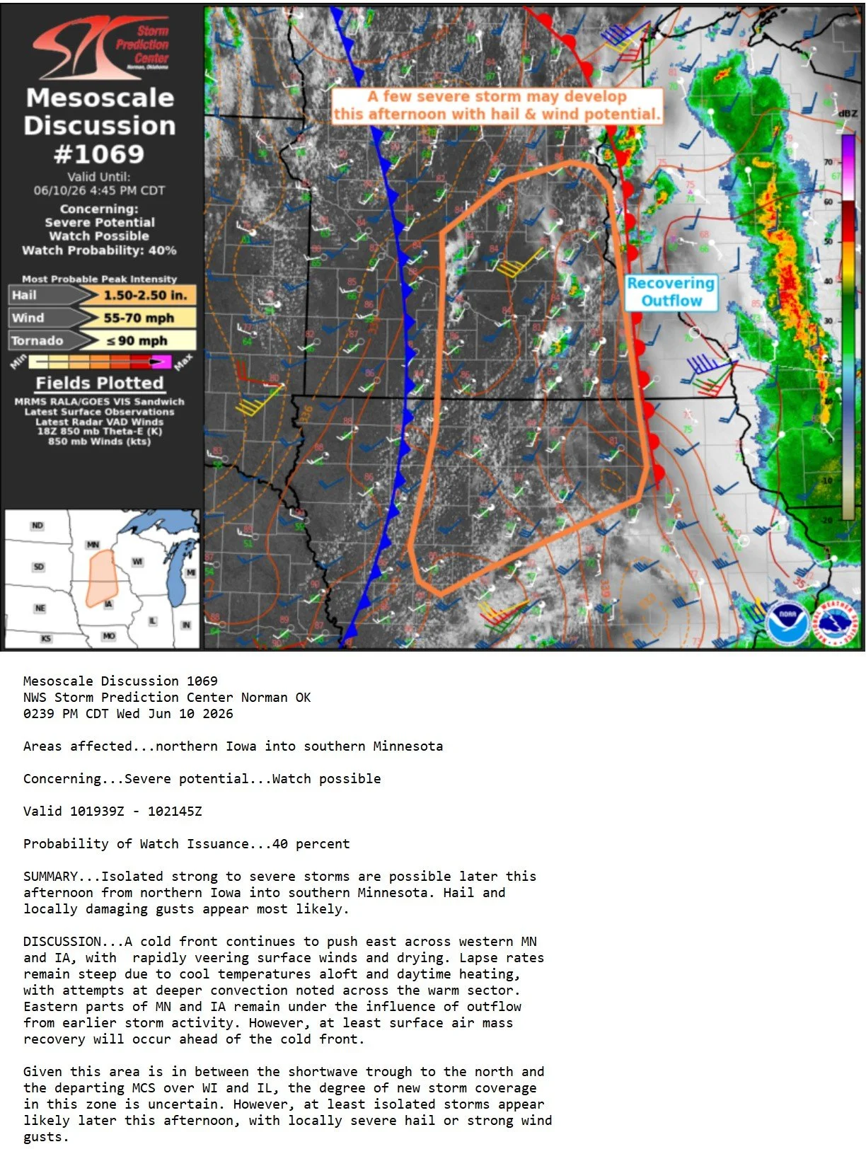
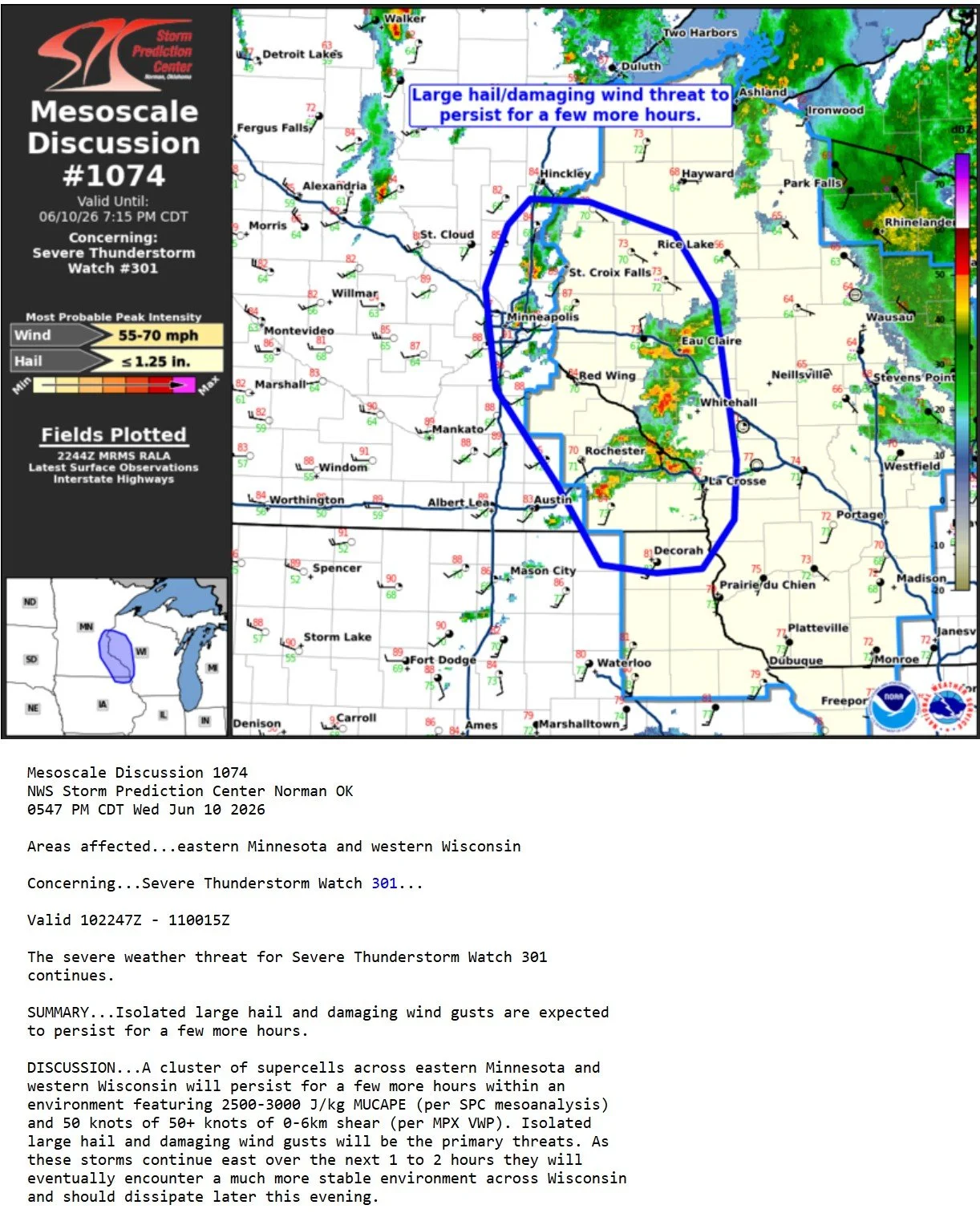
We waited in Menomonie, WI for a few hours as the midday storms cleared and new storms developed around 4pm in the area. Strong core but you can tell this storm is already starting to gust out.
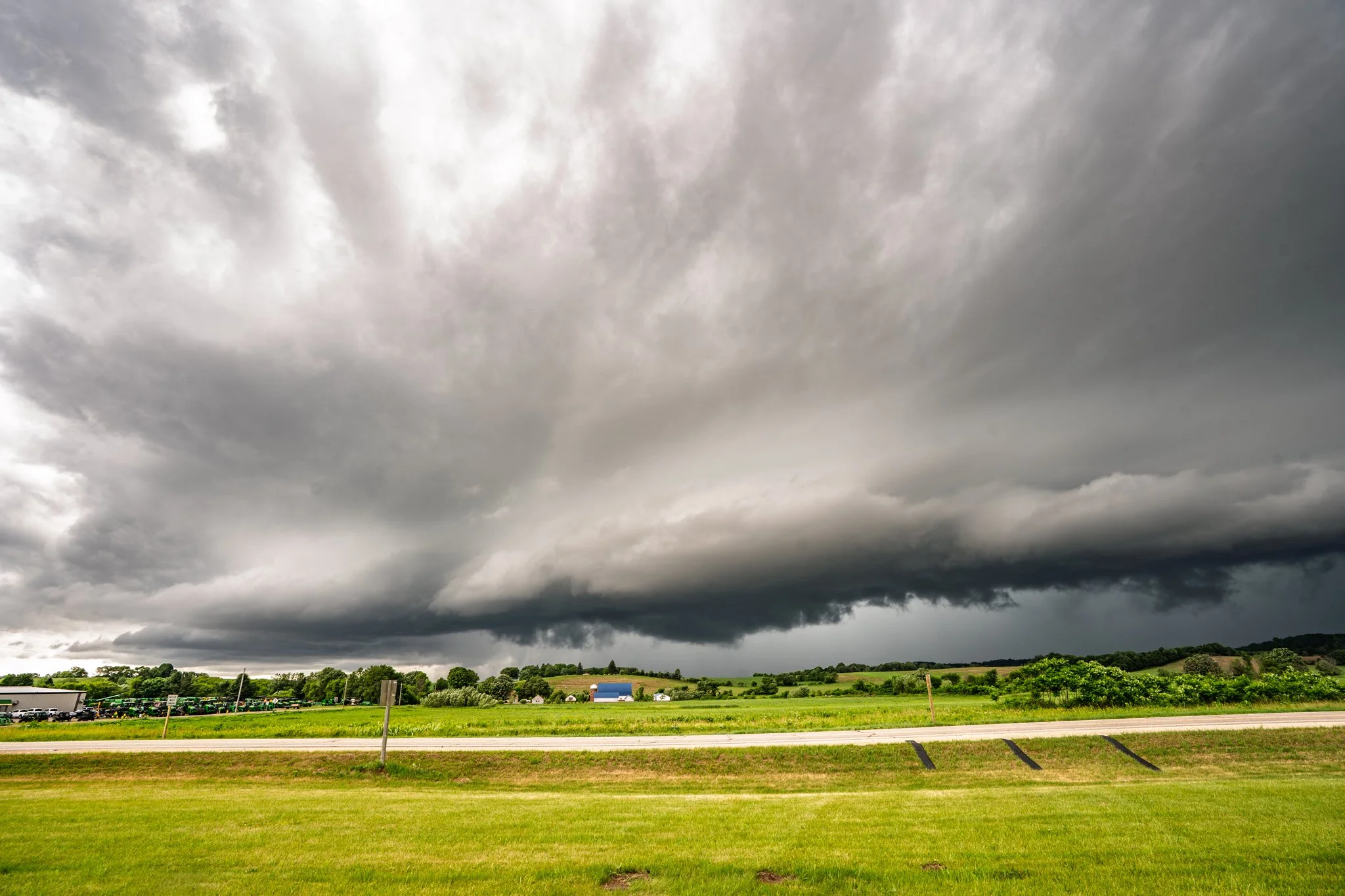
Shelf cloud forming on a good structured storm in Menomonie, WI.
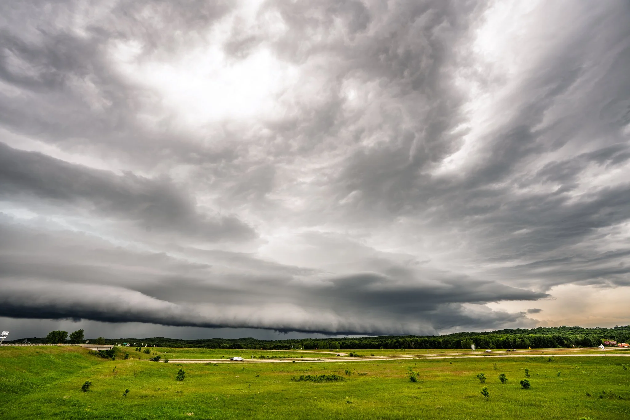
Looking north, the other direction on the shelf cloud moving in on us. We were stopped next to several other chasers and a highway patrol officer at this point.
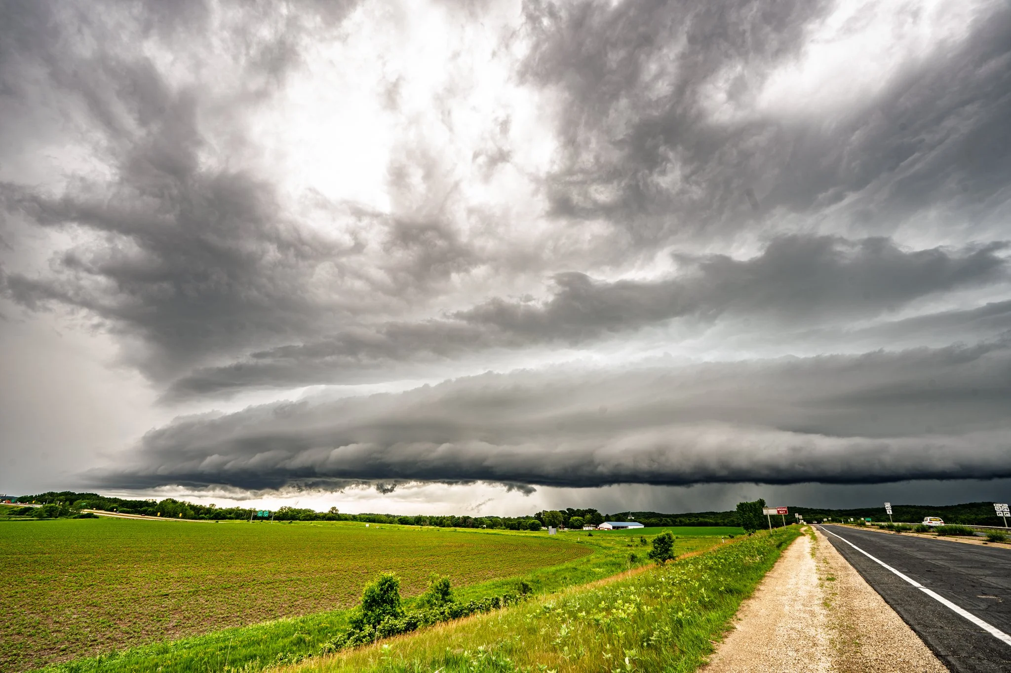
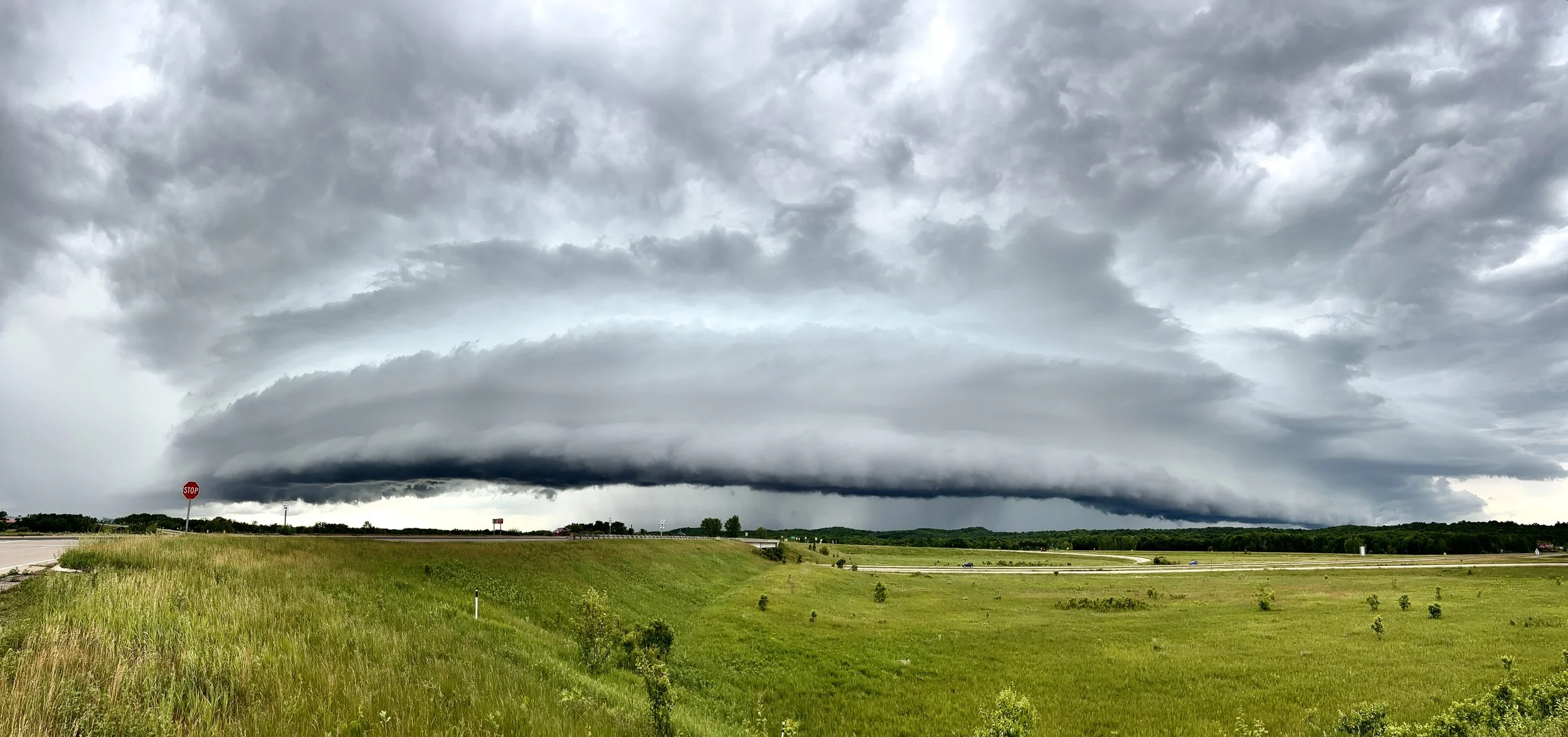
iPhone pano of the shelf cloud in Menomonie, WI.
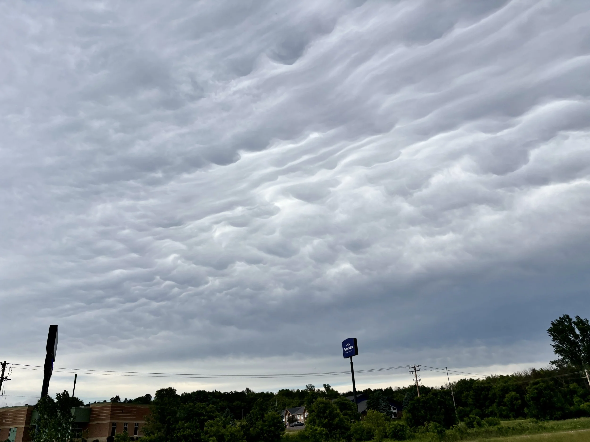
Mammatus on the western side of the storm as we headed home at the end of the day.