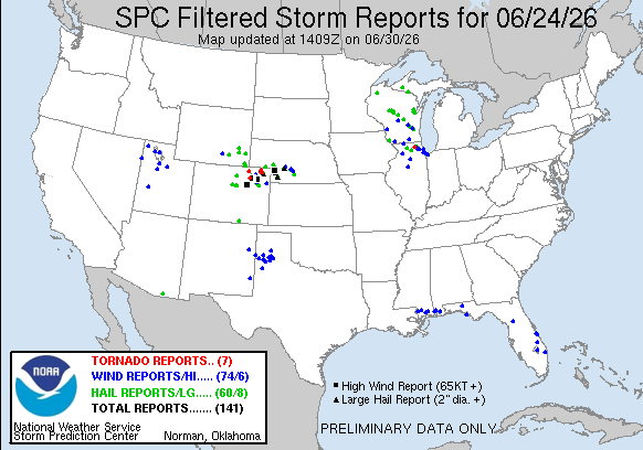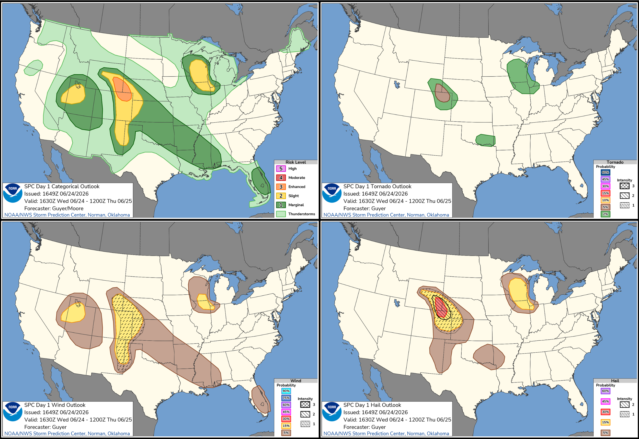
JUNE 24, 2026 COLORADO: PHOTOGENIC SUPERCELLS IN NORTHEAST CO
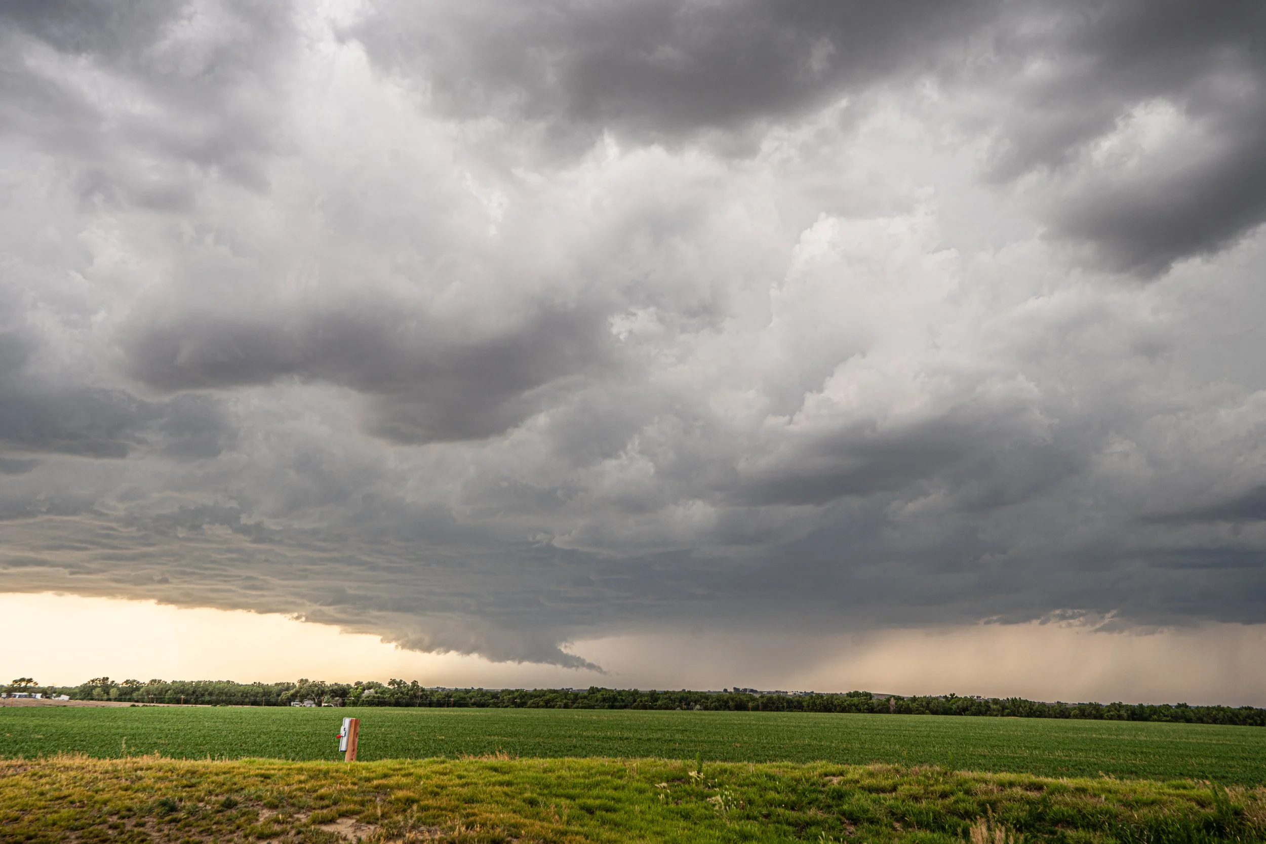
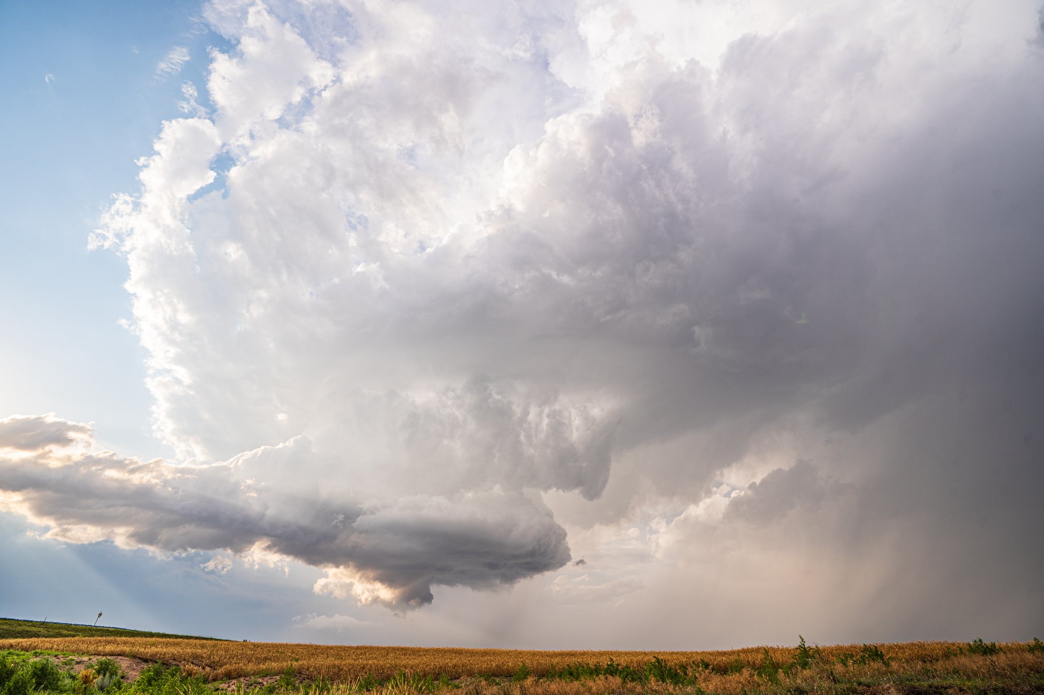
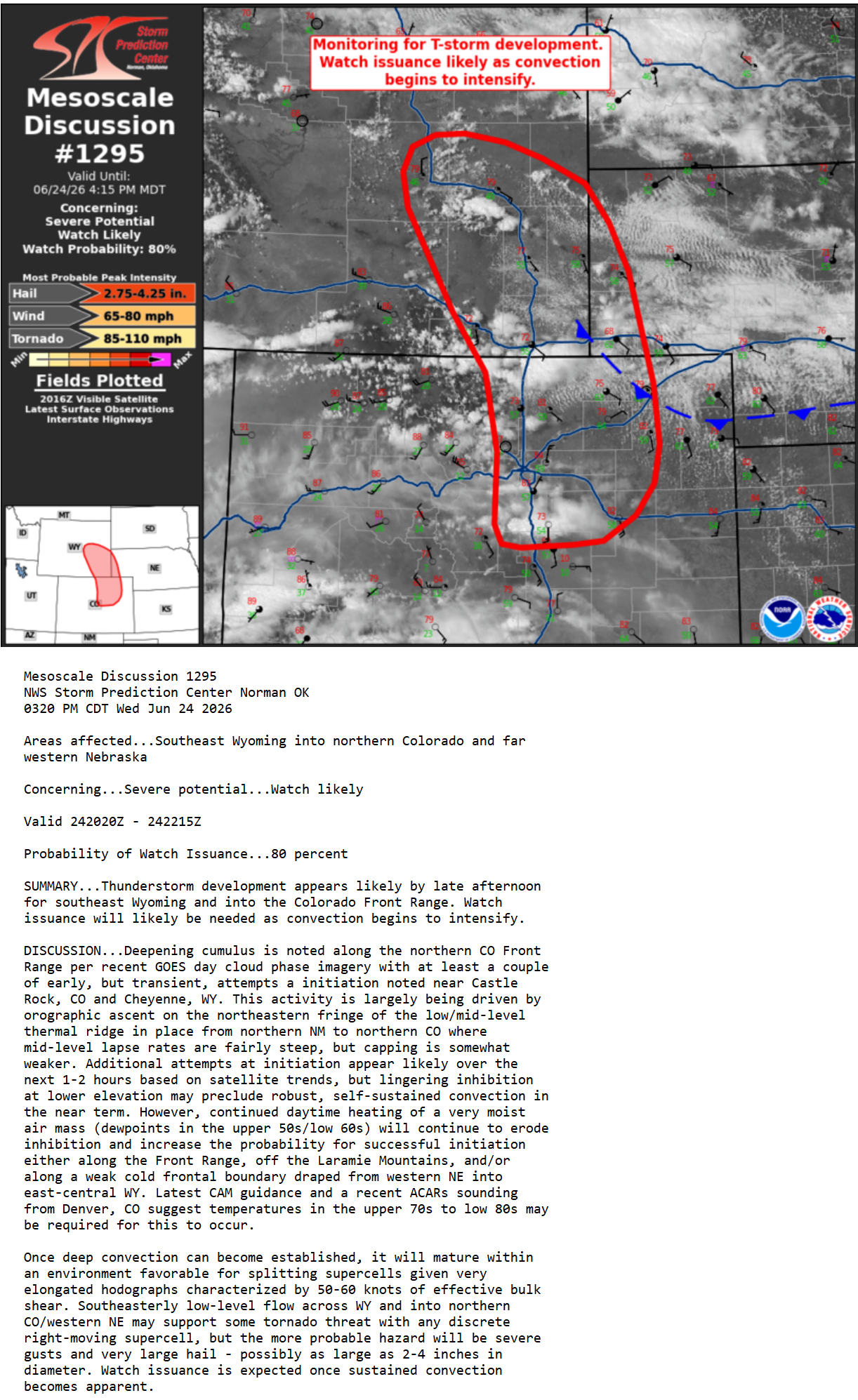
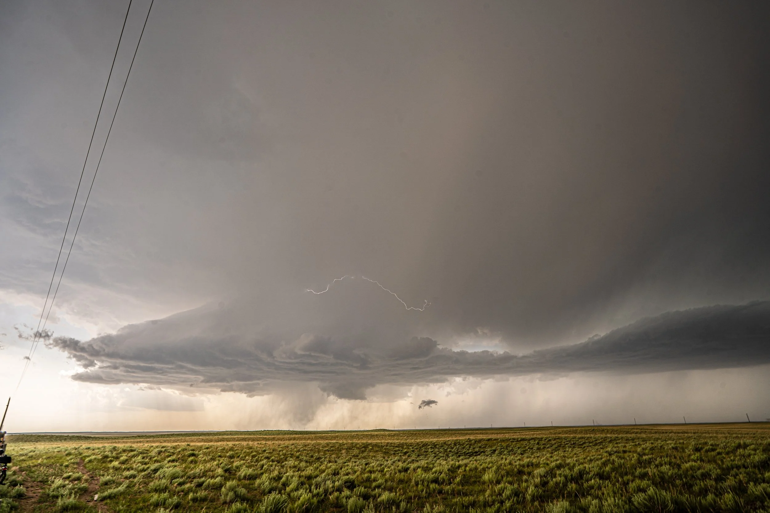
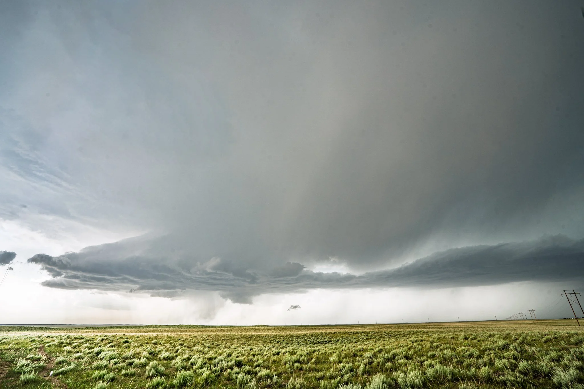
We nailed the target of Fort Morgan, CO as the initial storm we wanted developed just north of town. Inflow tail right to left and did not take long to become severe and produce a lowering.
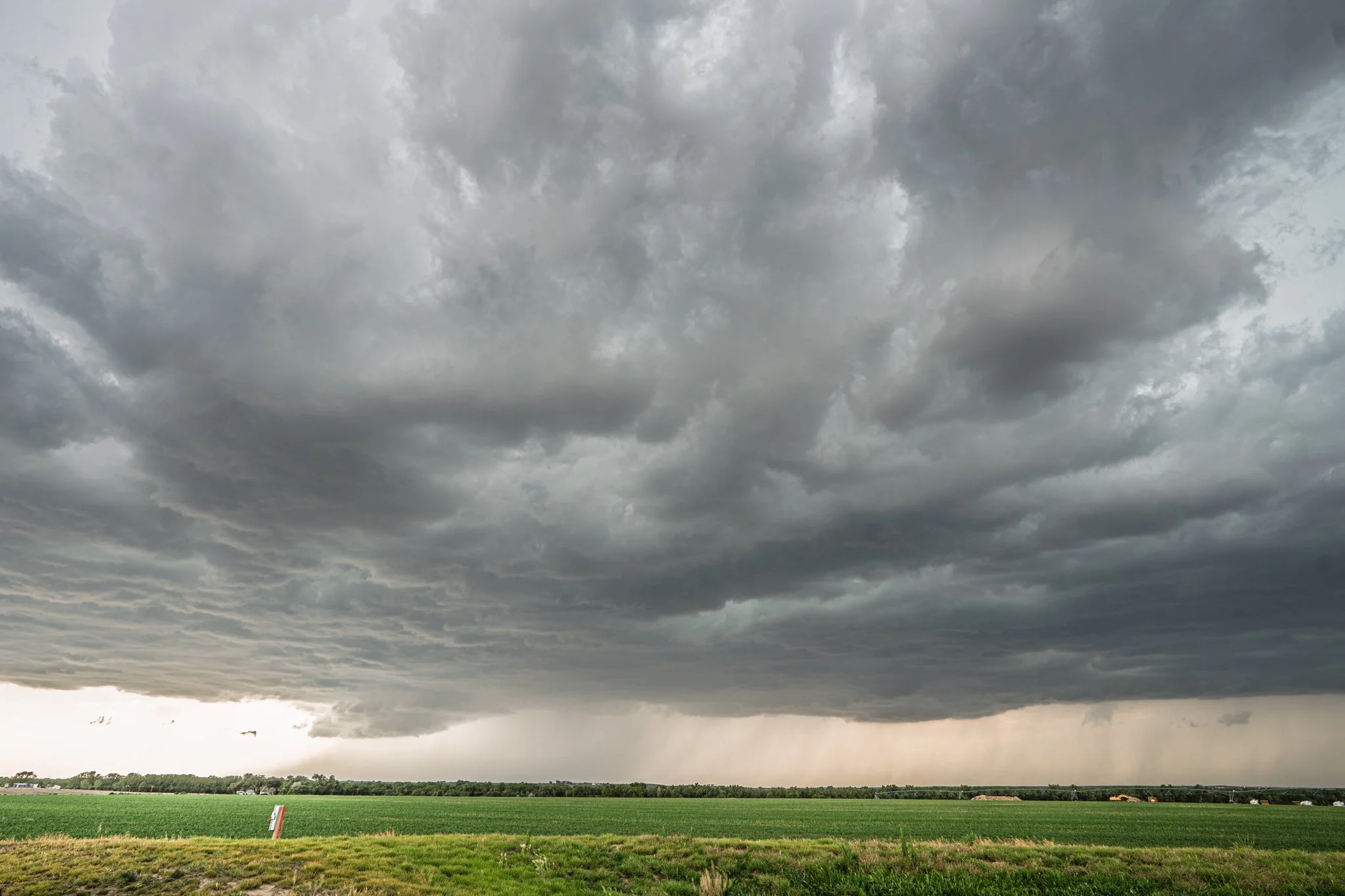
Lowering becoming more evident as the storm was getting better organized and the storm base starting to widen out.
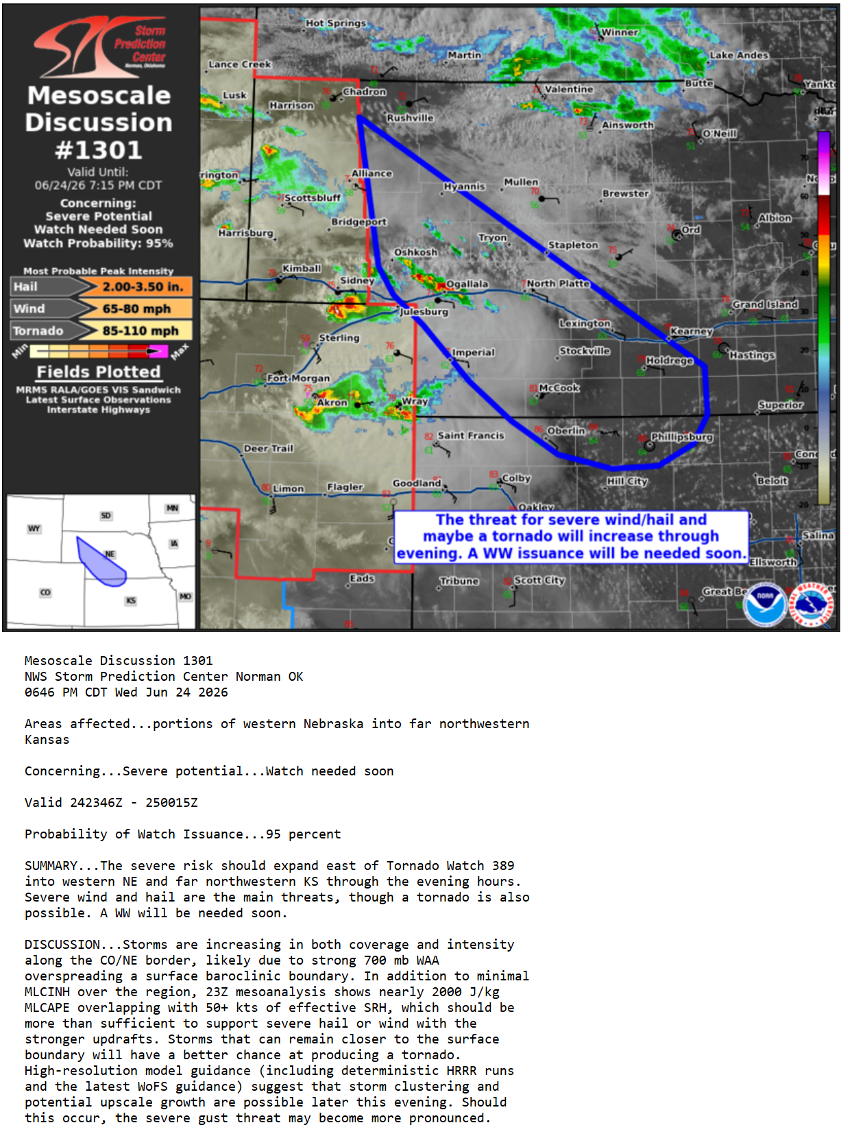
Developing supercell looking great and much better organized as it moved into better air and greater instability near Akron, CO.
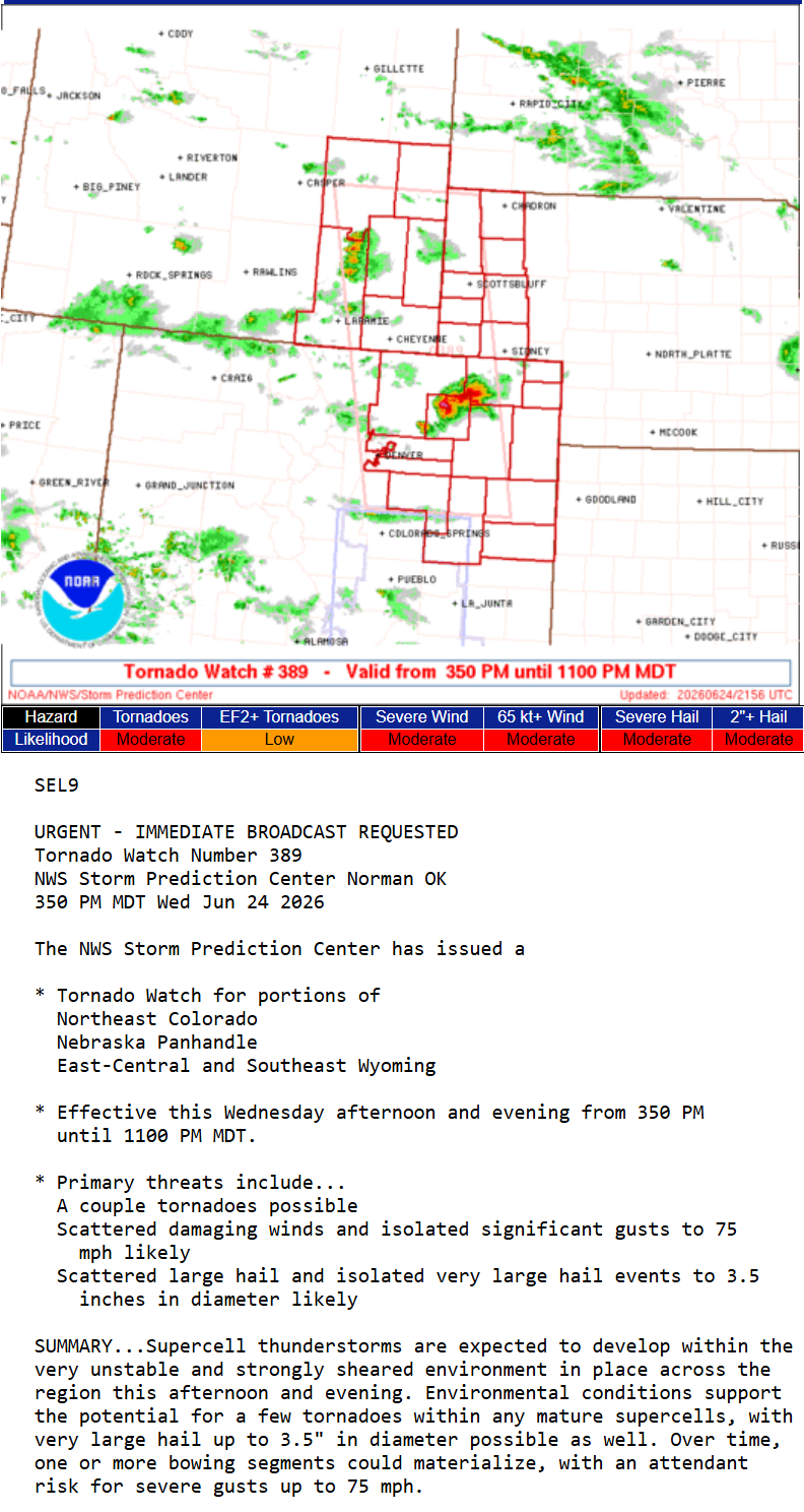
Ended up bailing on the initial storm and blasted northeast towards a tornado warned storm that was looking very good near Haxtun, CO. Unfortunately, it did produce a brief tornado before we were able to intercept.
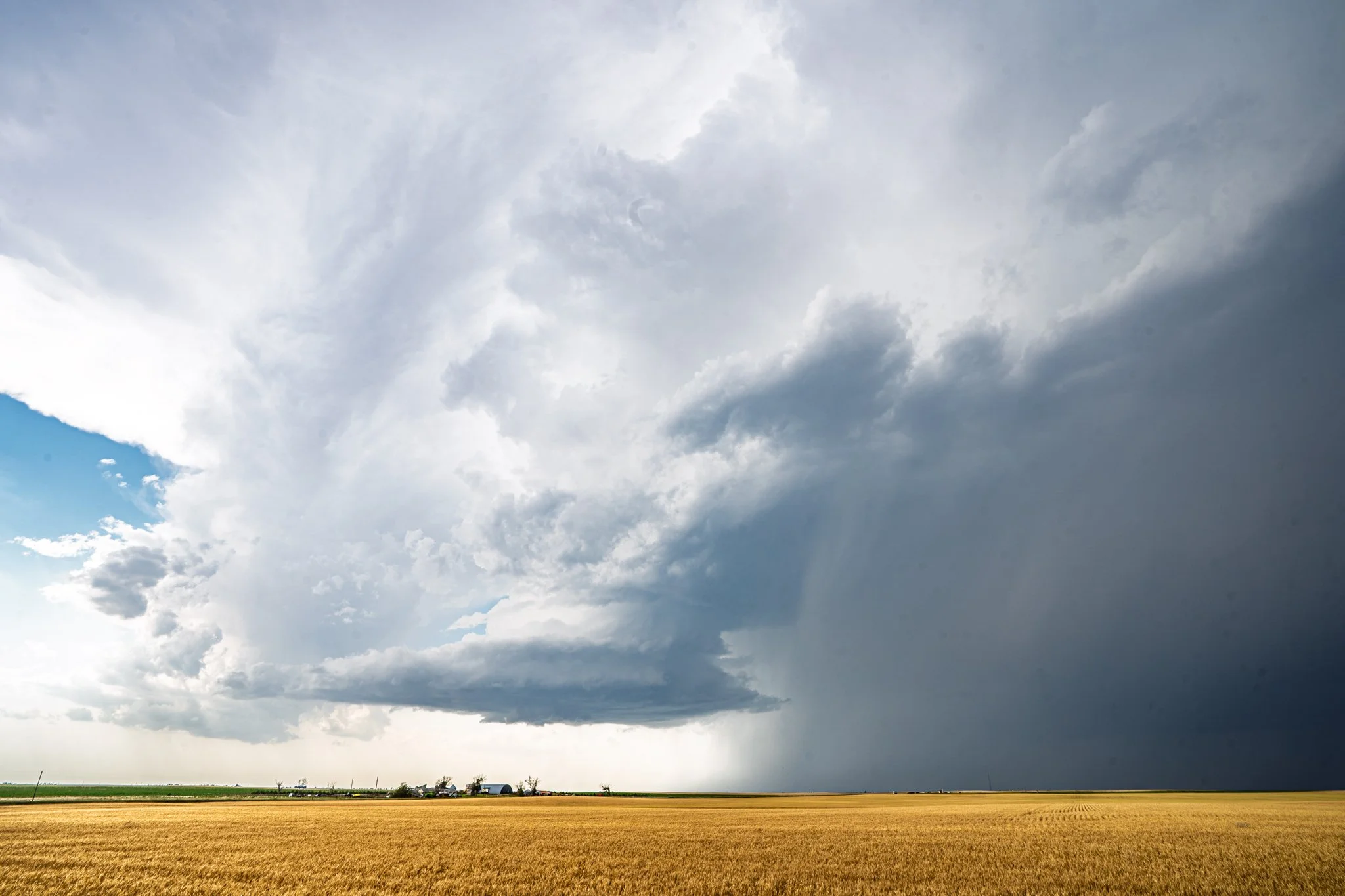
Love the tilted updraft here and the lowering under the storm base as it was taking on more of a low precipitation (LP) look. Looks like a vacuum!
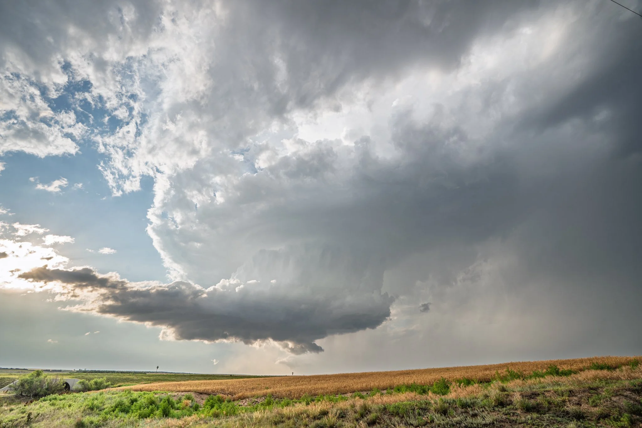
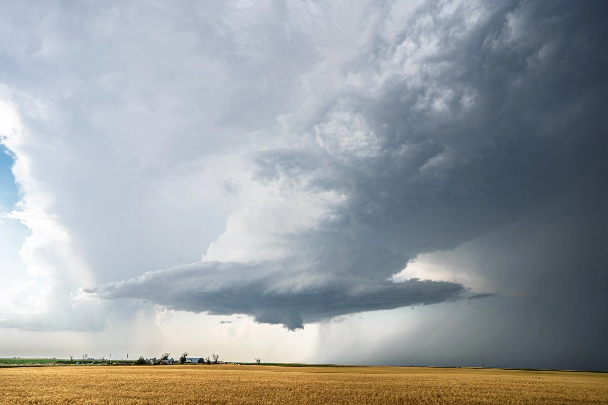
A short while later south of Paoli, CO as the storm continued to hold onto some great structure. Definitely in the weakening stages at this point though, so we knew it was only a matter of time before it was done.