JUNE 26, 2026 COLORADO: LAST DAY OF THE TOUR AND A TORNADO
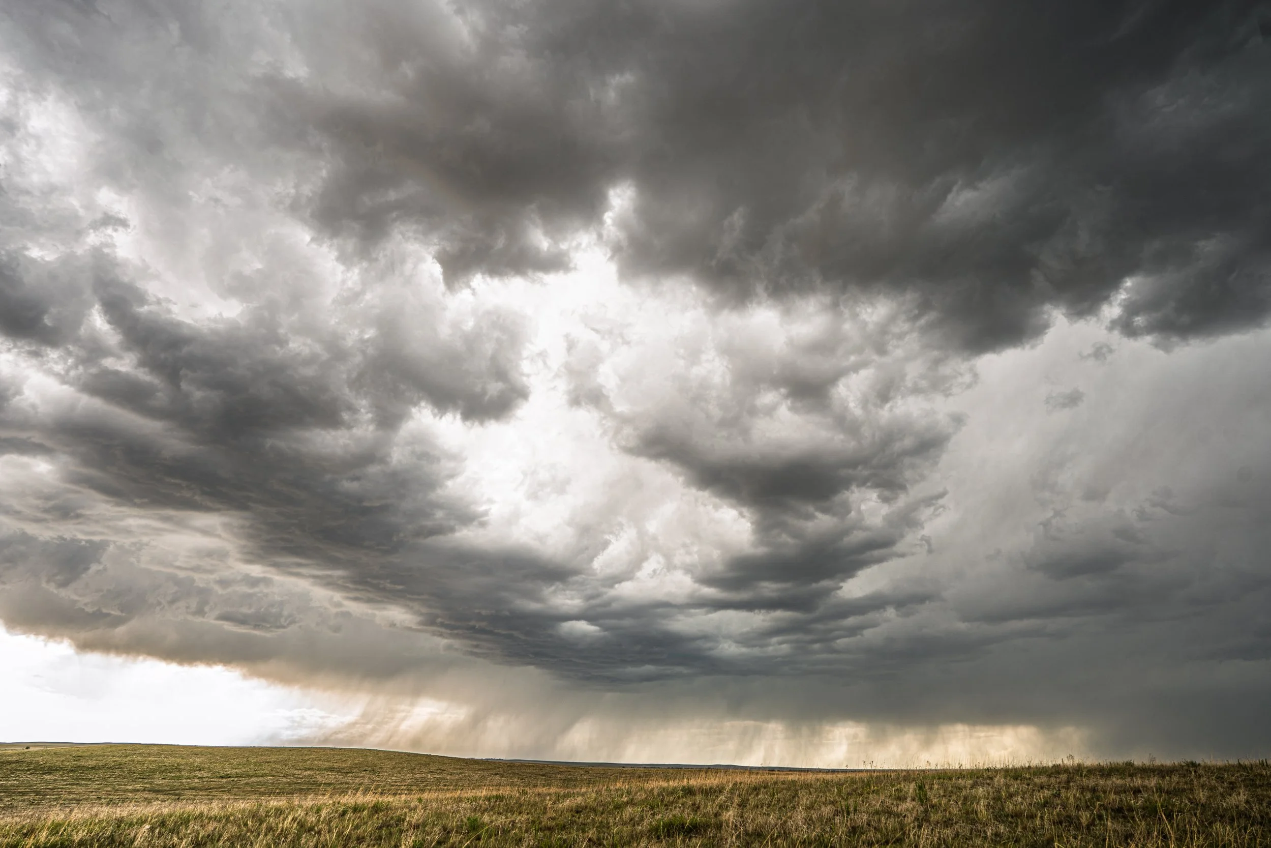
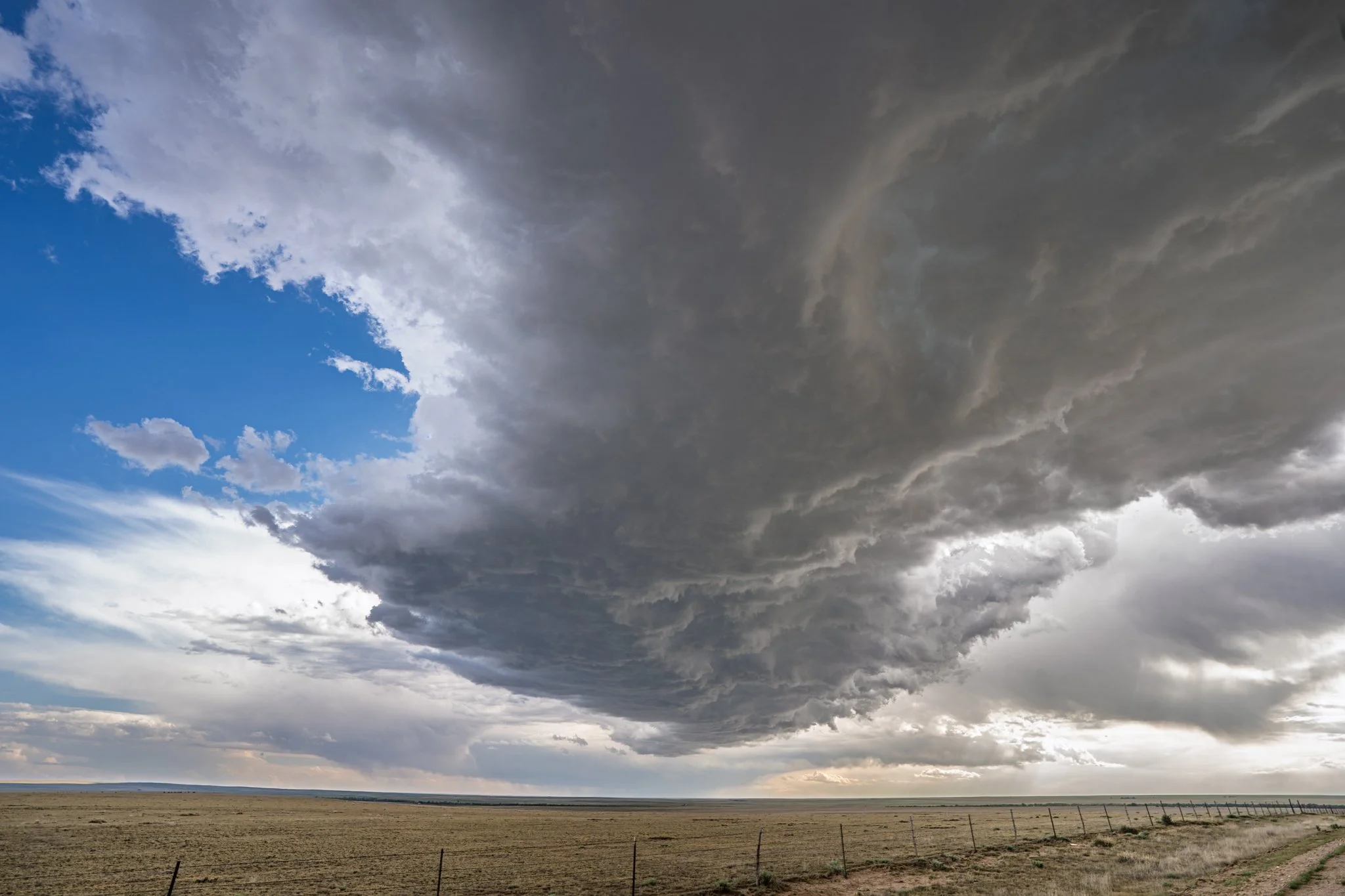
Initial storm rolling off the Palmer Divide to the southeast of Denver, Colorado. Still in some dry air here and the jellyfish looking rain curtains and higher base shows that well.
New storms exploding ahead of our original storm. This cell was just going up and spiked a top to 50k feet immediately. Taken west of Limon, CO.
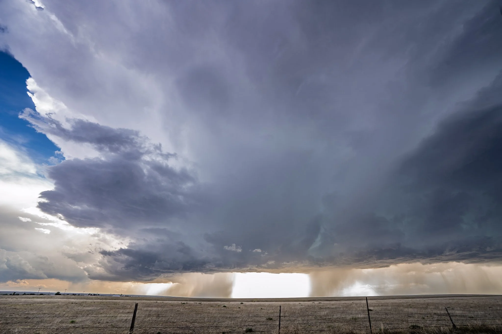
Storm looking better and better!
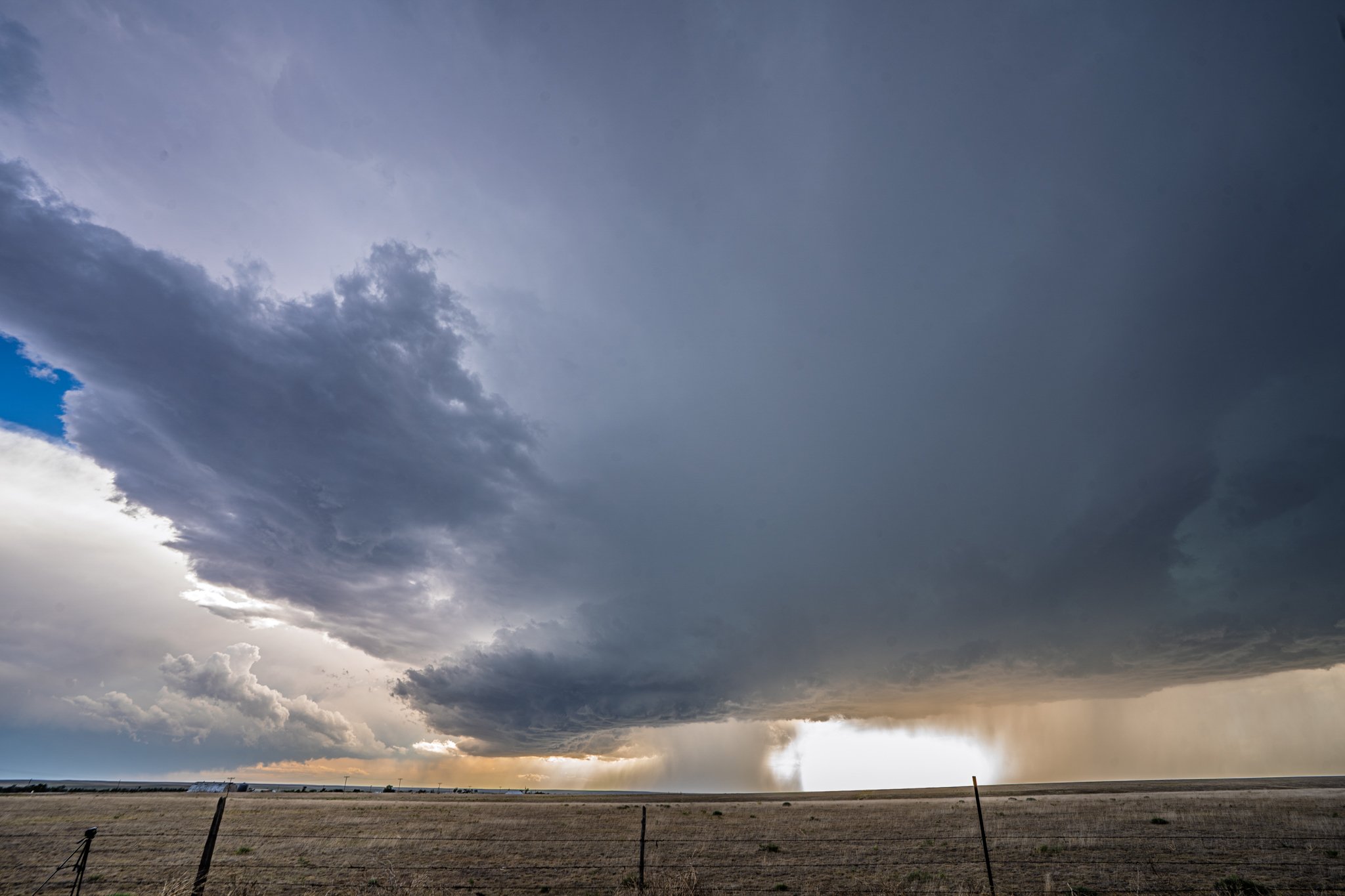
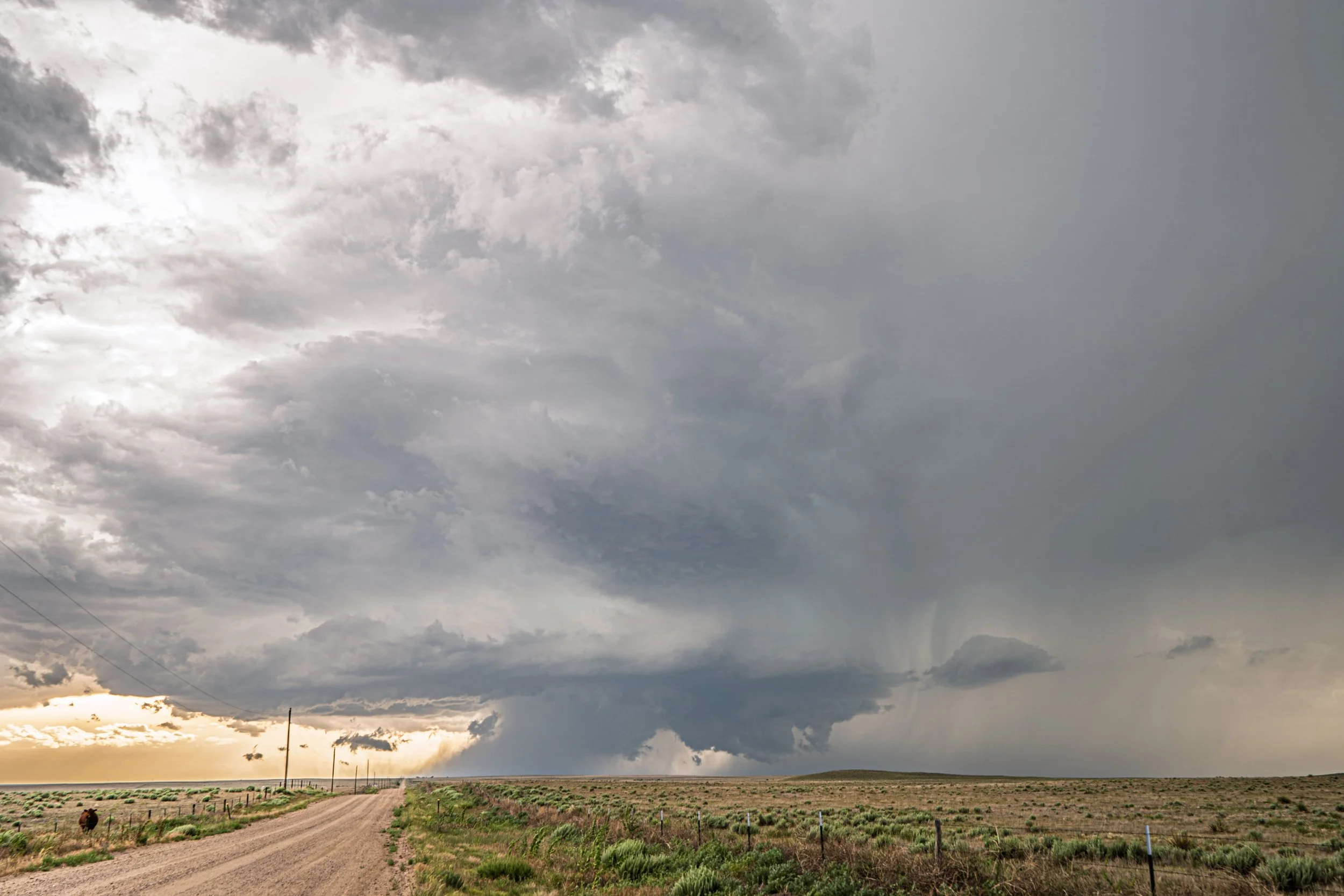
Supercell now starting to mean business! Great structure and forming a nice wall cloud right in the action area of the storm.
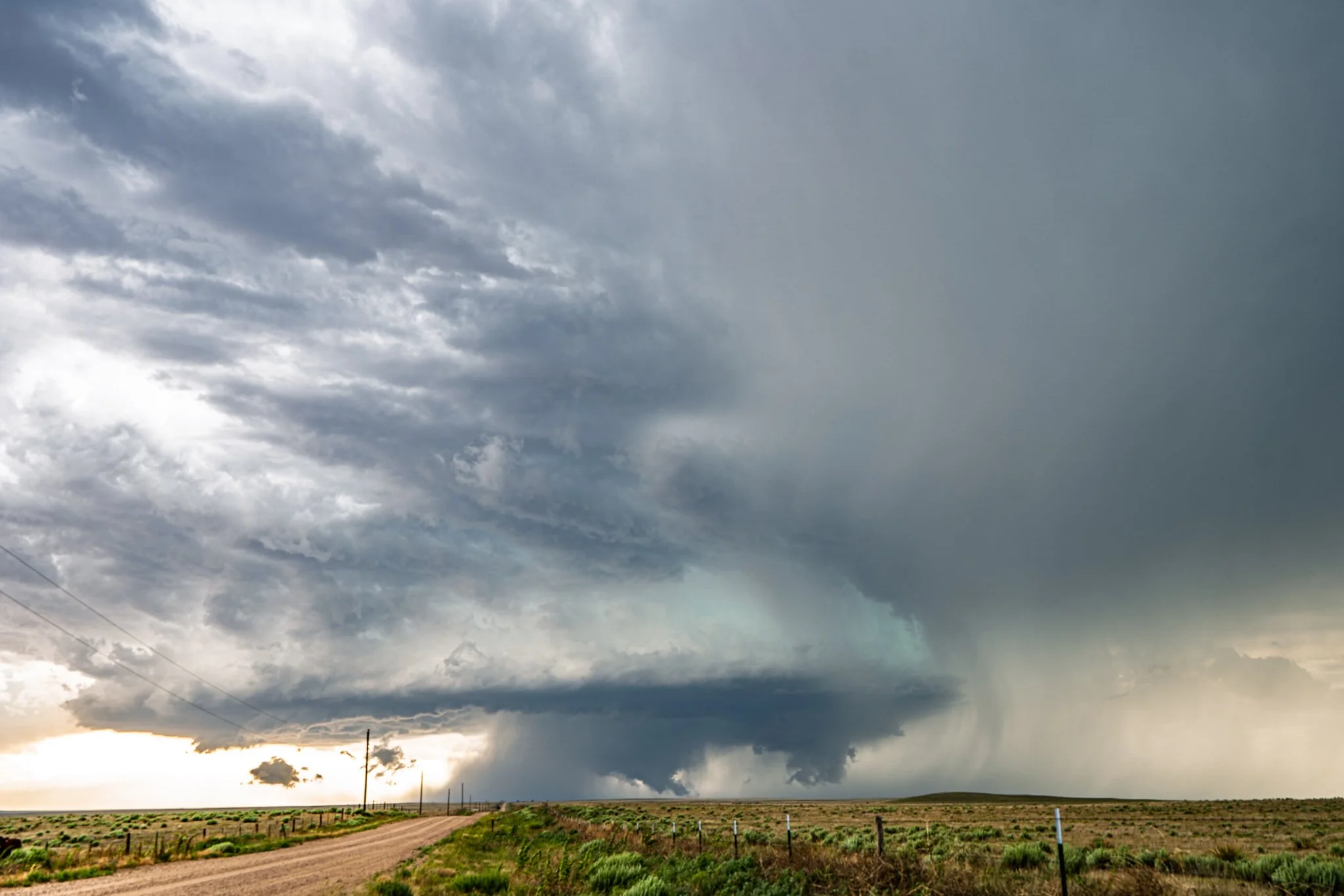
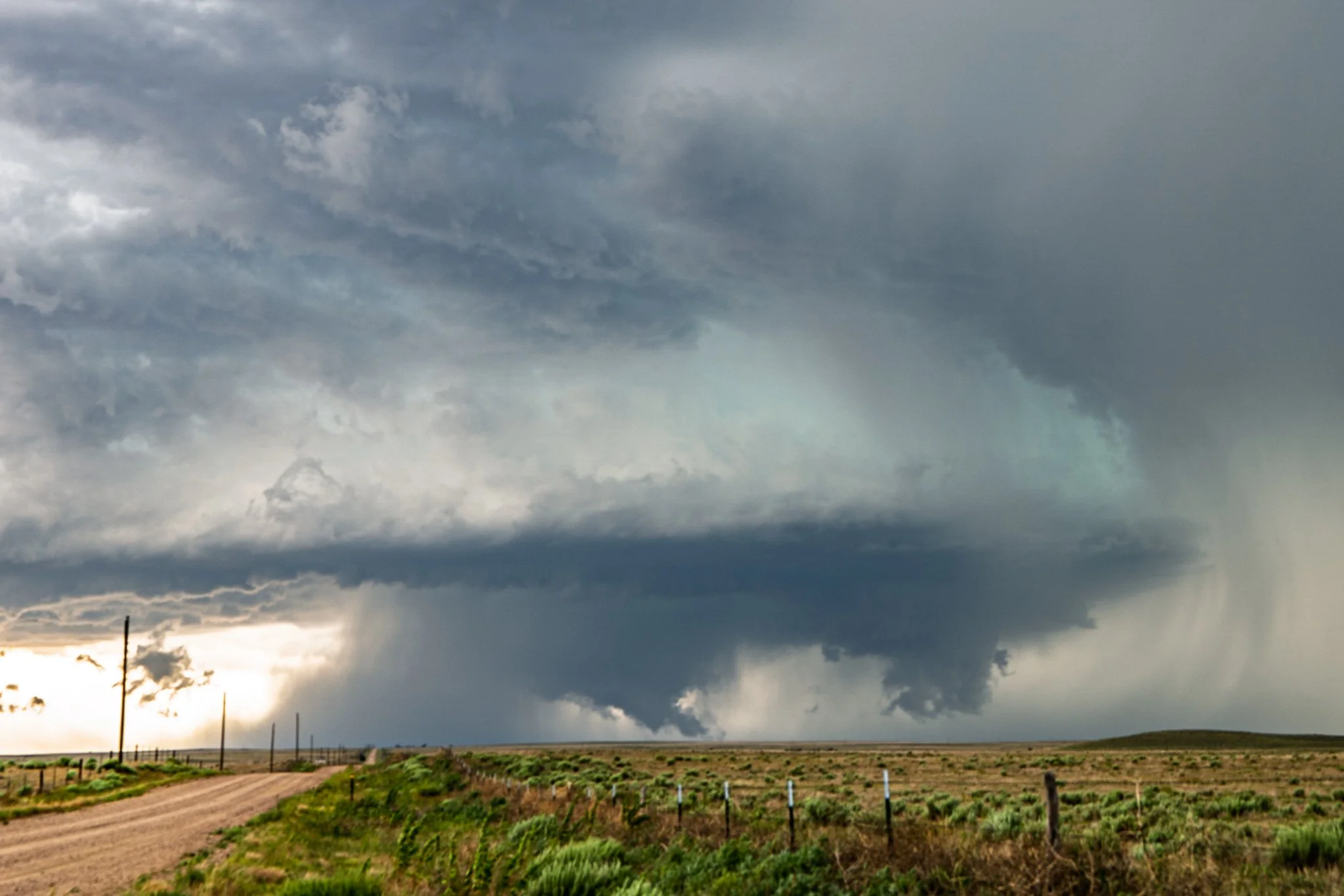
Tornado! There was a brief tornado touchdown shortly after the last image near Aroya, CO. Right in the middle of the image you can see the cone down to a needle fully condensing to the ground.
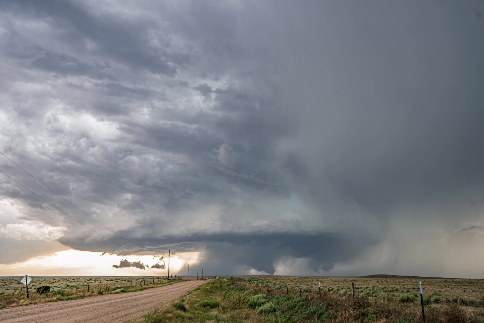
Another shot of the fully condensed tornado. Great to be able to watch this supercell approach from a deserted gravel road in the middle of Colorado ranch land.
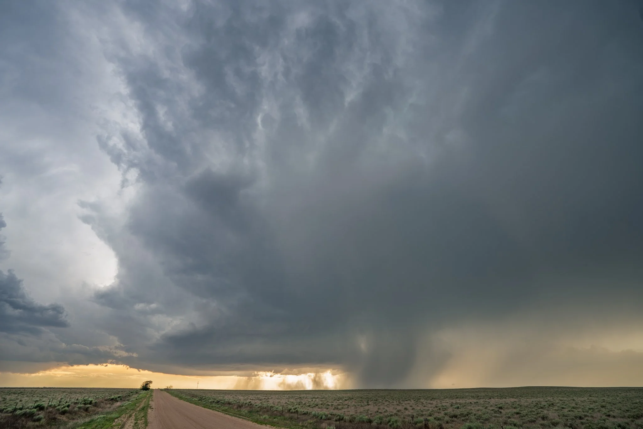
Followed the storm southeast towards Eads, Colorado and still holding onto some good structure! Meaty looking hail core starting to develop.
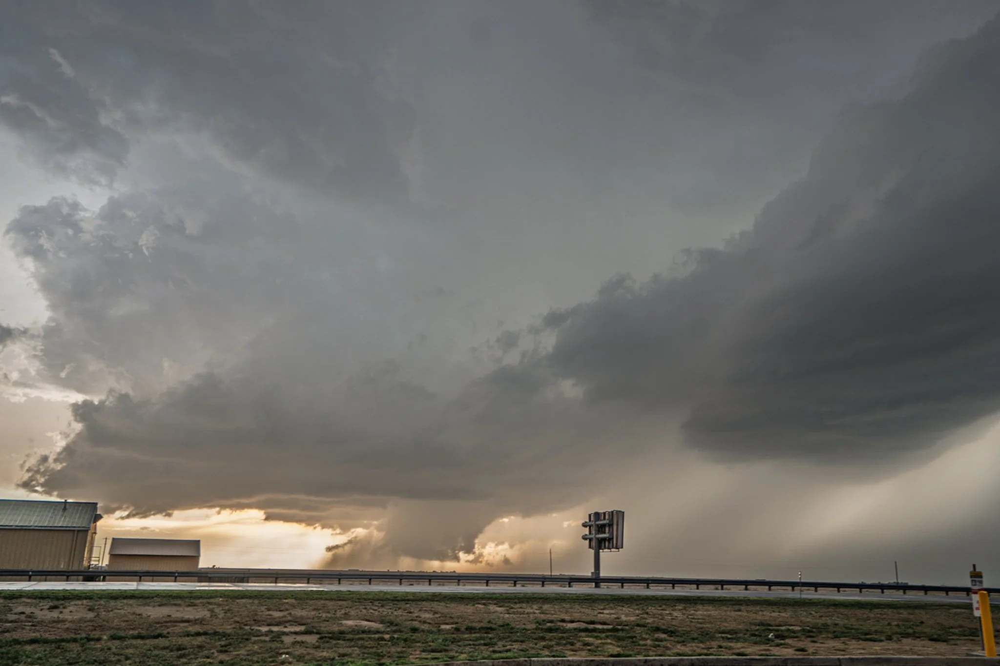
We stopped at a gas station for some relief in Eads and all of a sudden the storm starts forming a well defined blocky wall cloud! This storm is moving southeast towards town.
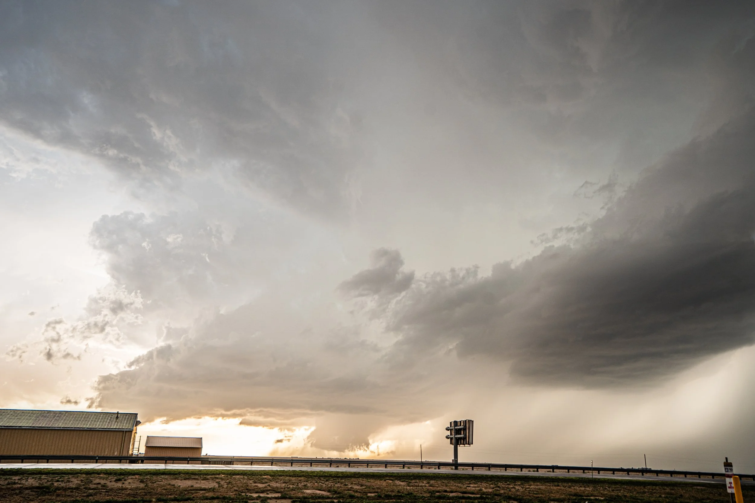
Another lighter version of the supercell approaching town and the wall cloud underneath. Became tornado warned around this time.