
JULY 13, 2020 MINNESOTA: WAITING AROUND FOR A GOOD EVENING STORM

An intense rain and hail core on our initial storm to the southwest of Ottertail, Minnesota.

Vertical shot of the storm updraft above the intense rain and hail core.

Wall cloud forming on the storm with quick right to left condensation into the base.

Vibrant colors at sunset as the storm approached us near Deer Creek, Minnesota.

Magnificent color and storm structure at sunset!

Looking back to the east the other direction from the previous photo. Love the color of the blue sky and the backlit clouds from the setting sun.
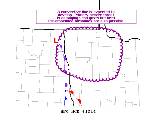
Mesoscale discussion issued at 3:52 PM CDT for northwest Minnesota ahead of the occlusion and low. We were just outside of this MD on the southern end near the triple point. https://www.spc.noaa.gov/products/md/2020/md1214.html
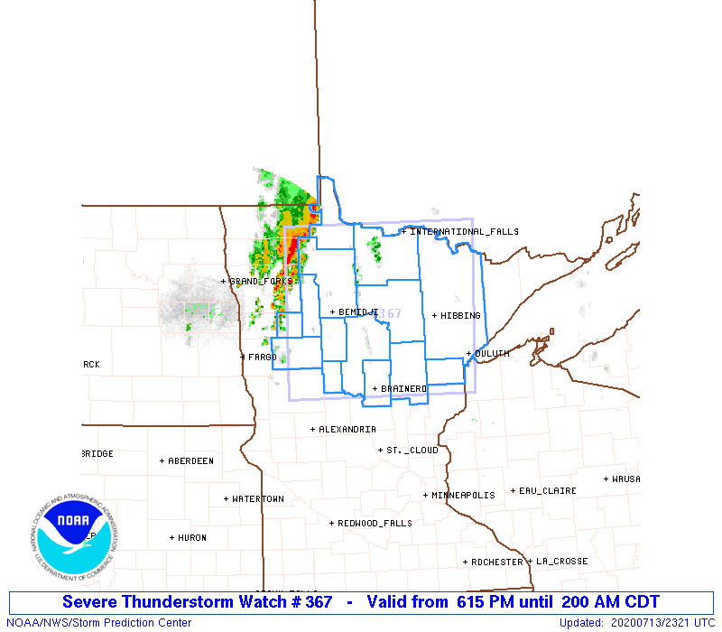

Mesoscale discussion issued at 7:34 PM CDT as new severe storms were expected to form during the evening ahead of the cold front. We were on the far northern end of this MD near Ottertail watching a strong storm towards sunset. https://www.spc.noaa.gov/products/md/2020/md1217.html

