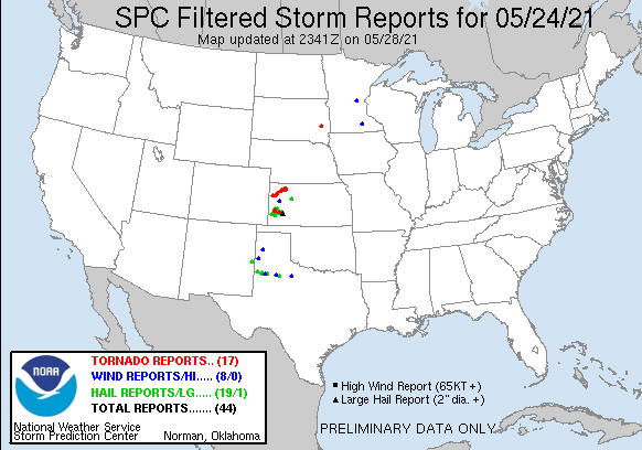
First storm of the day developing near Leoti, Kansas. Strong updraft and dark, flat base immediately as the storm developed.
A short time later as the storm began to split with two distinct updrafts. We had not moved at all from the previous image.
A new storm developing to our southwest as we prepared to reposition.
Wall cloud underneath the storm base near Scott City, Kansas. We could not go up the road any farther due to the mud and risk of getting stuck. This was very close to Little Jerusalem Badlands State Park.
After bailing on the northern storm, we progressed south to intercept a new tornado warned storm near Lakin, Kansas.
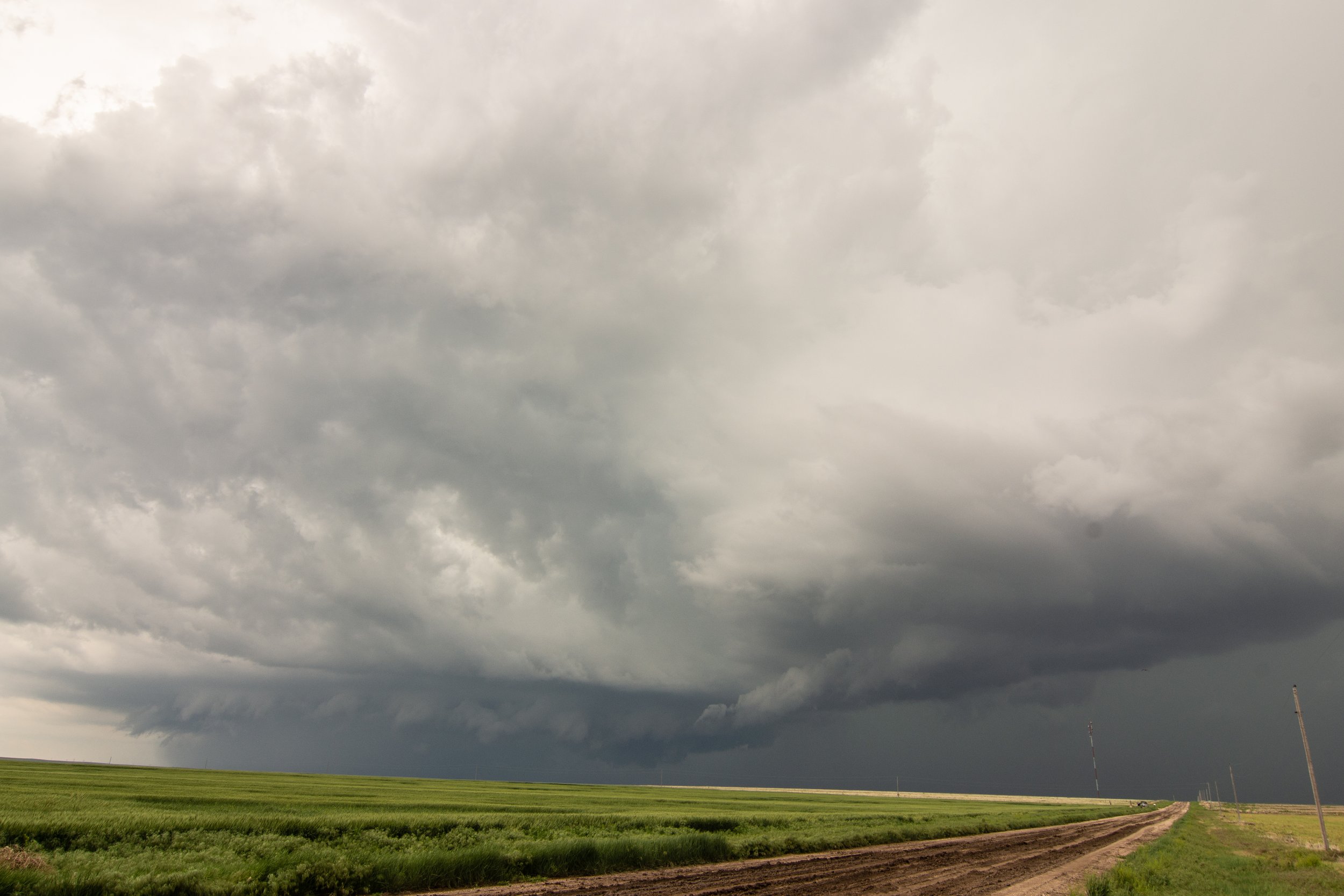
Storm starting to exhibit outflow dominant characteristics.
Still some inflow and organized rotation on the northern edge of the storm base here near Lakin, Kansas.
Really nice storm with a wall cloud rotating around the southeast side of the parent mesocyclone near Deerfield, Kansas.
Total occlusion of the wall cloud here with a broad mesocyclone still present.
Awesome storm structure near Holcomb, Kansas! The entire storm is rotating. I love that well defined inflow tail.
Wow, what a storm!!!
Best Beaver Tail / Inflow Tail that I saw in 2021. Terrific structure and definition to it!
Impressive wall cloud forming underneath the storm as it approaches us. Looking due west.
What an incredible, beautiful storm. Still well organized and good inflow/outflow balance taking place with a few action areas to monitor just ahead of us.
Needle funnel cloud forming under the main action area of the storm.
This is a tornado! Had a debris cloud underneath the wall cloud/funnel right after the clear condensation funnel appeared. It’s subtle but it was there for a short time.
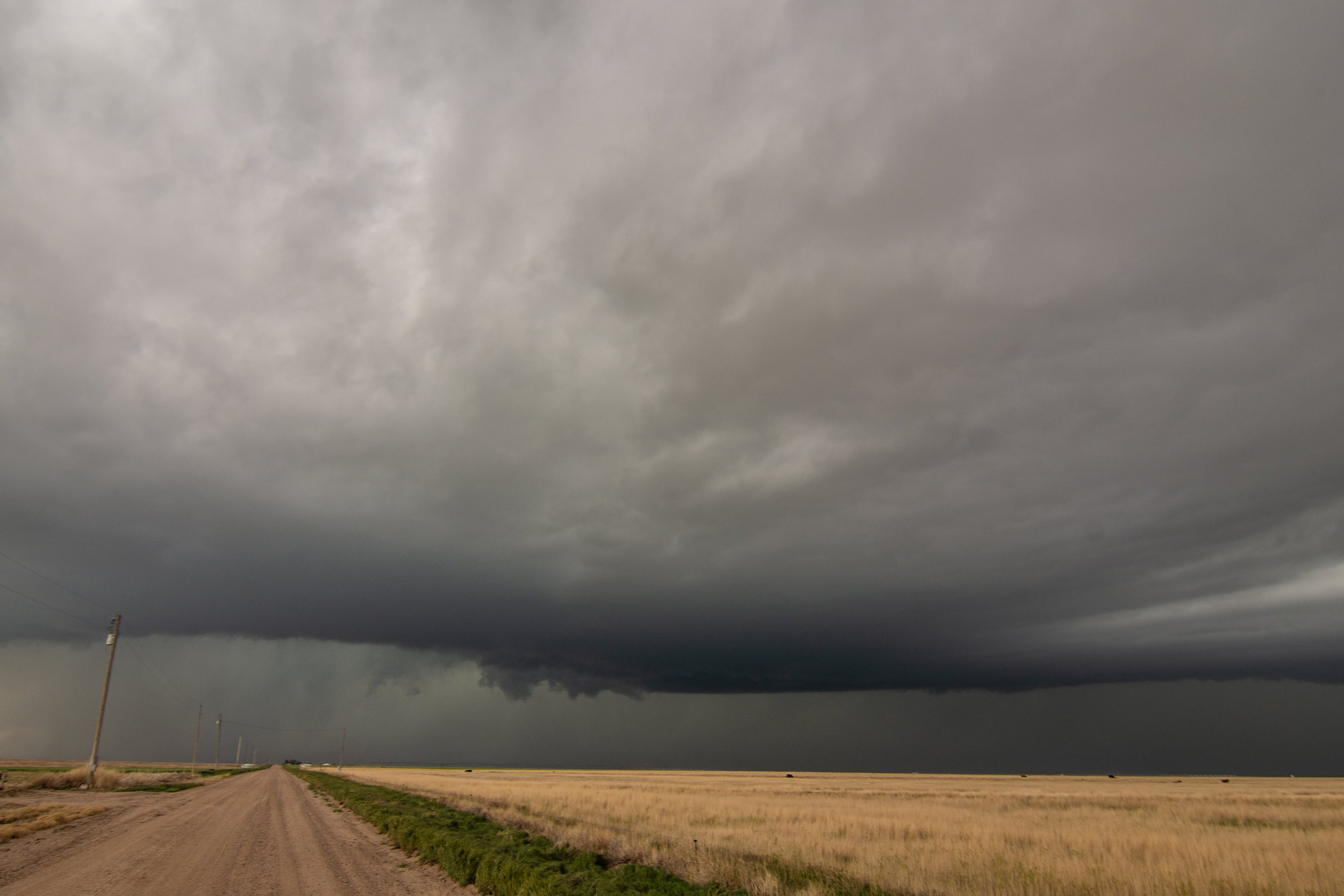
Storm is pretty much done for any tornado threat here. Still severe with a lot of hail and wind though.
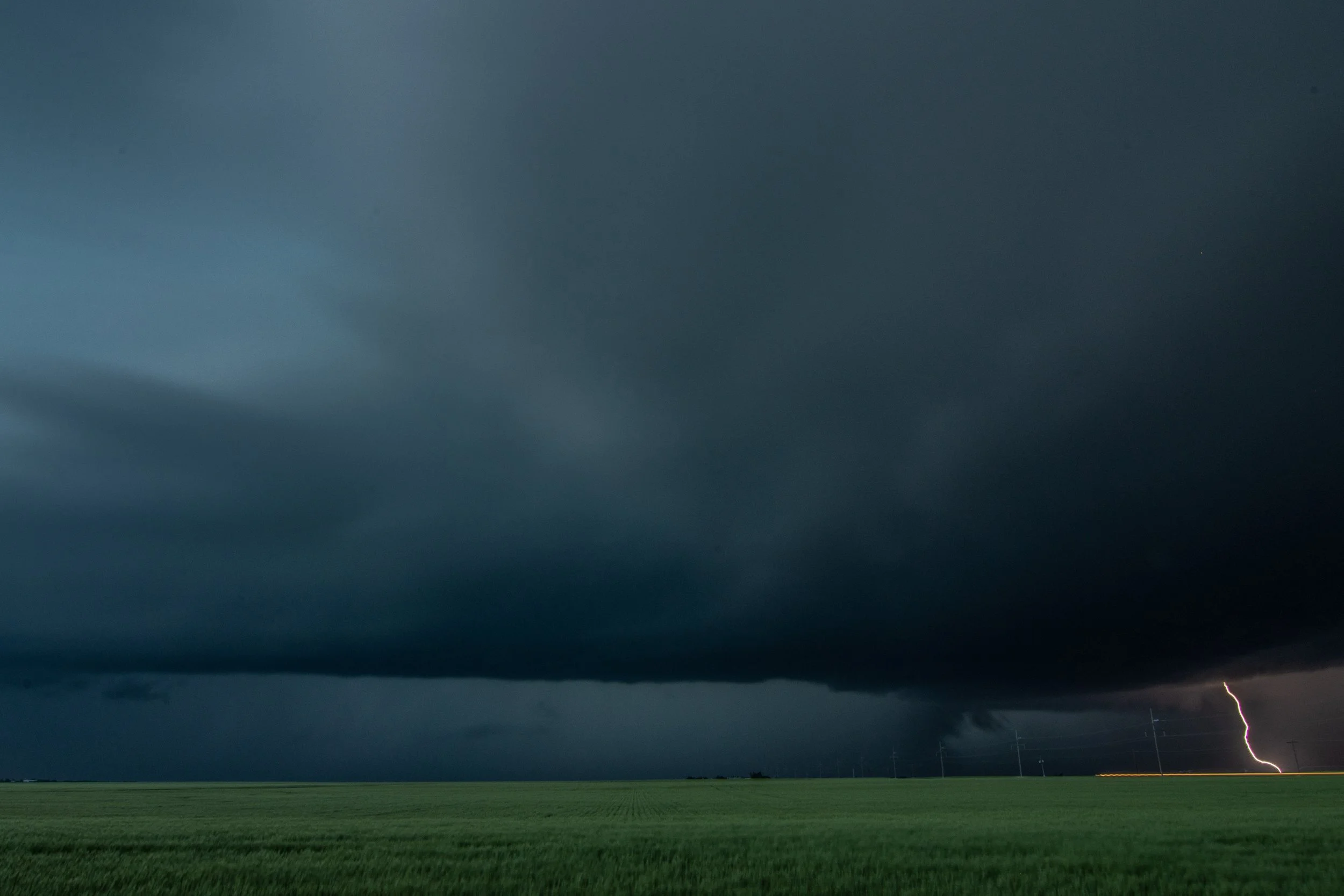
Final shot of the day as I was able to grab a lightning bolt with the storm during the evening to the southeast of Holcomb, Kansas.