Isolated storm blowing up fast west of Scott City, Kansas on the dryline. PDS tornado watch issued as this storm was developing.
Storm struggling a bit with a skinny updraft and base as we watched near Scott City, Kansas. Can see left split storm base to the right and main storm updraft to the left.
Ended up bailing on our original storm and blasting north to intercept an LP supercell near Grinell, Kansas. This storm was never a threat to produce a tornado but it did exhibit some really good structure.
Another tornado warned storm near Lenora, Kansas.
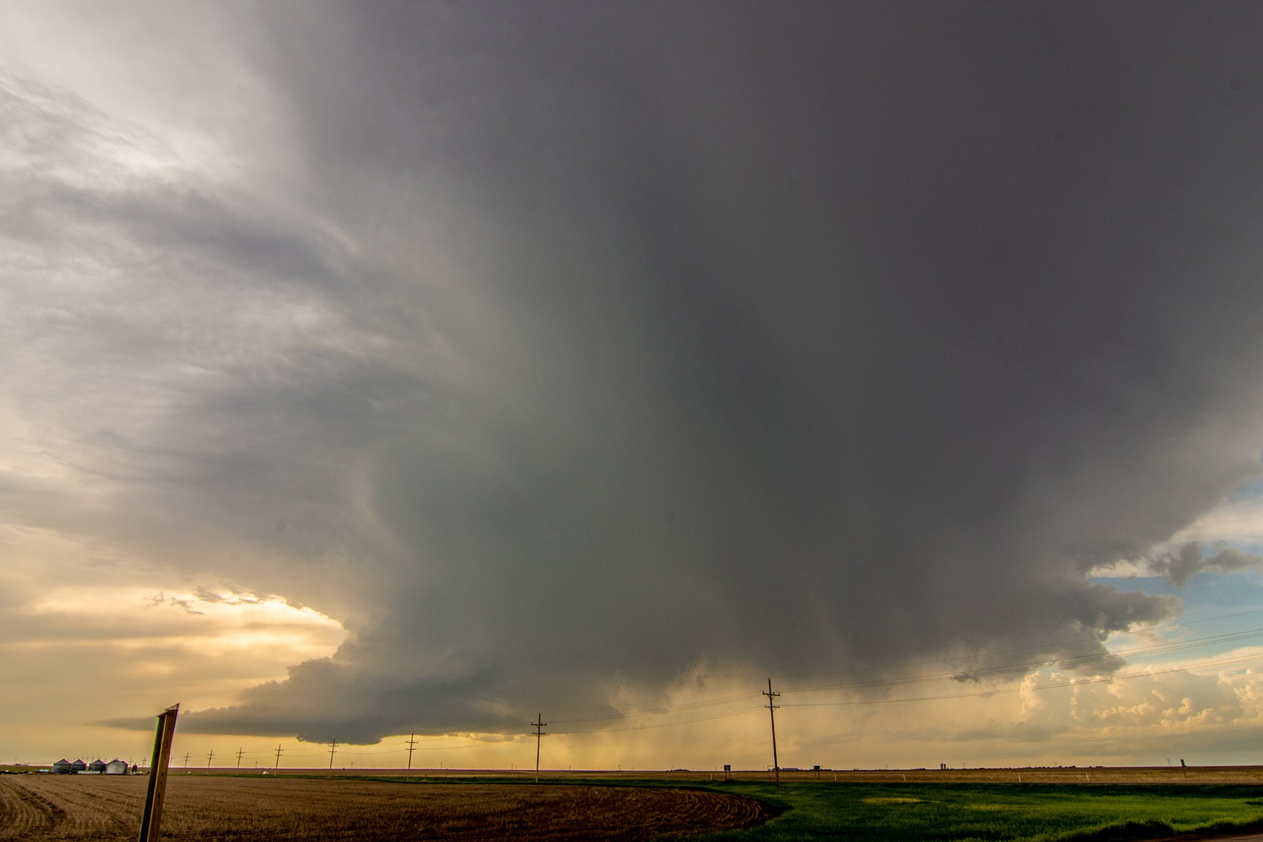
Looking south at a new tornado warned storm and its inflow region. Low storm bases at this point as we approach evening.
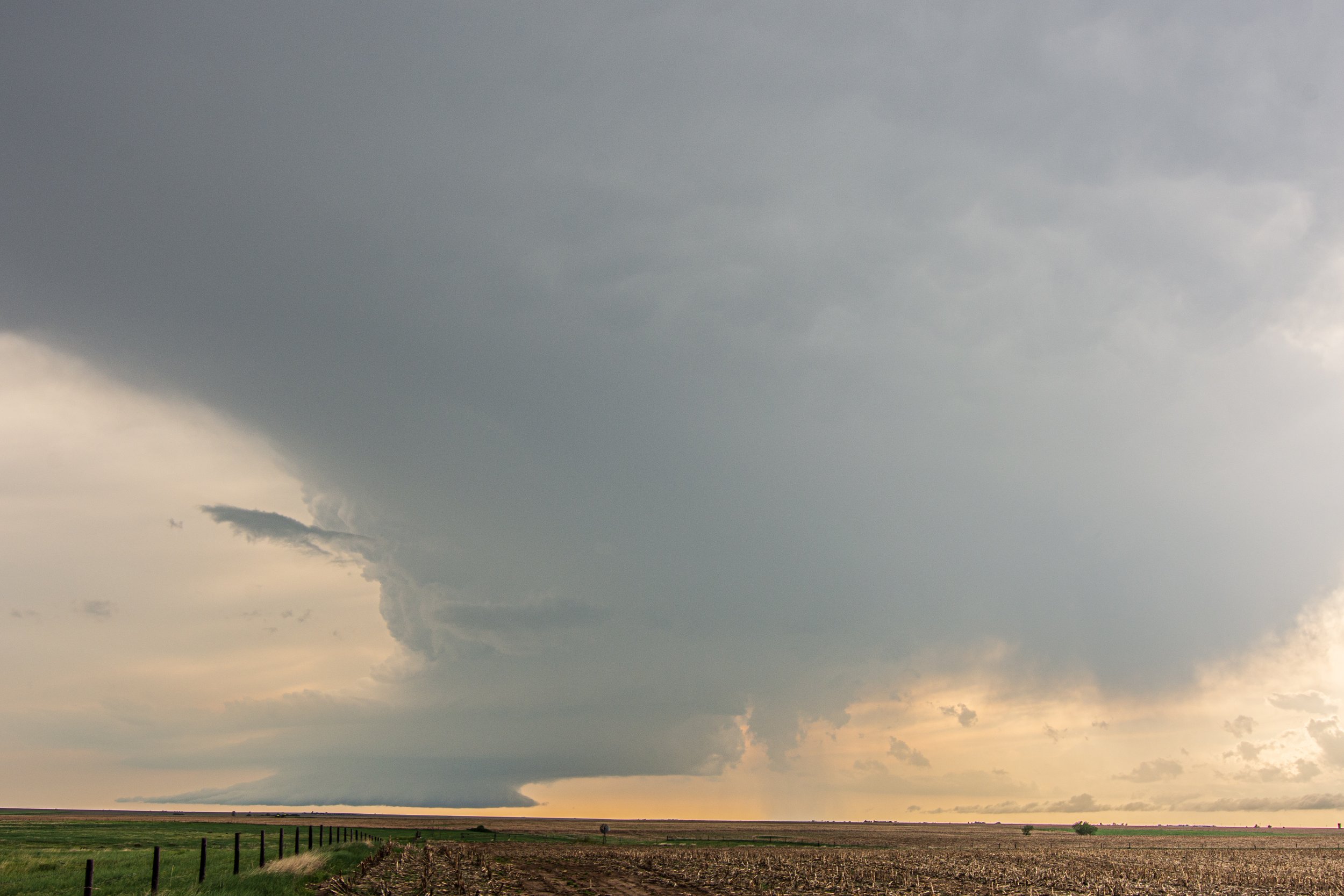
Nice C rear flank downdraft cut on this storm near Lenora, Kansas. Certainly was trying to tighten up and produce a tornado here!