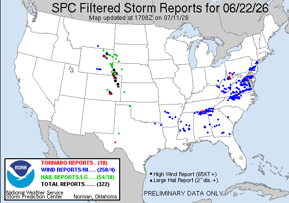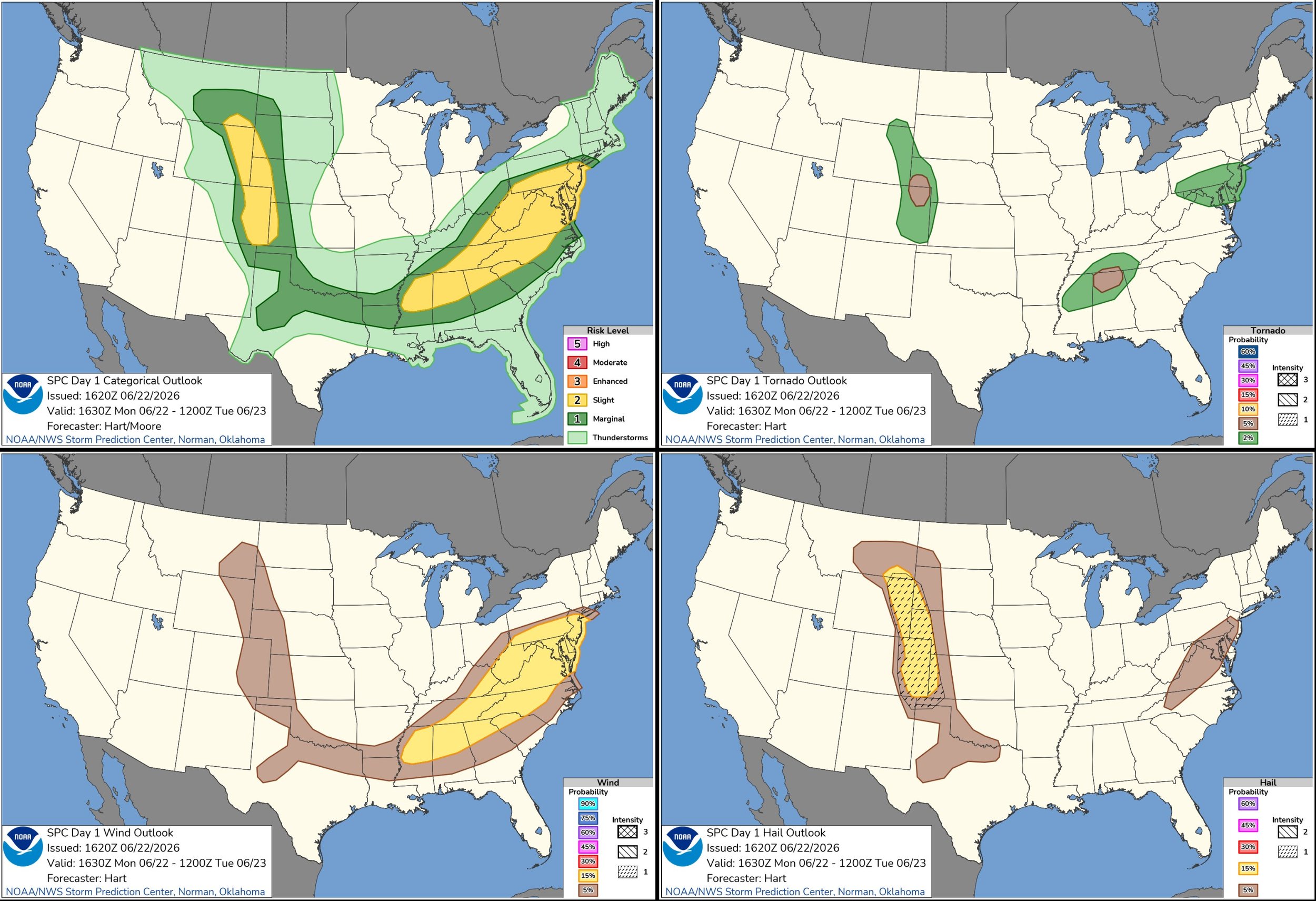
JUNE 22, 2026 NEBRASKA & COLORADO: BEST SUPERCELLS OF THE YEAR!
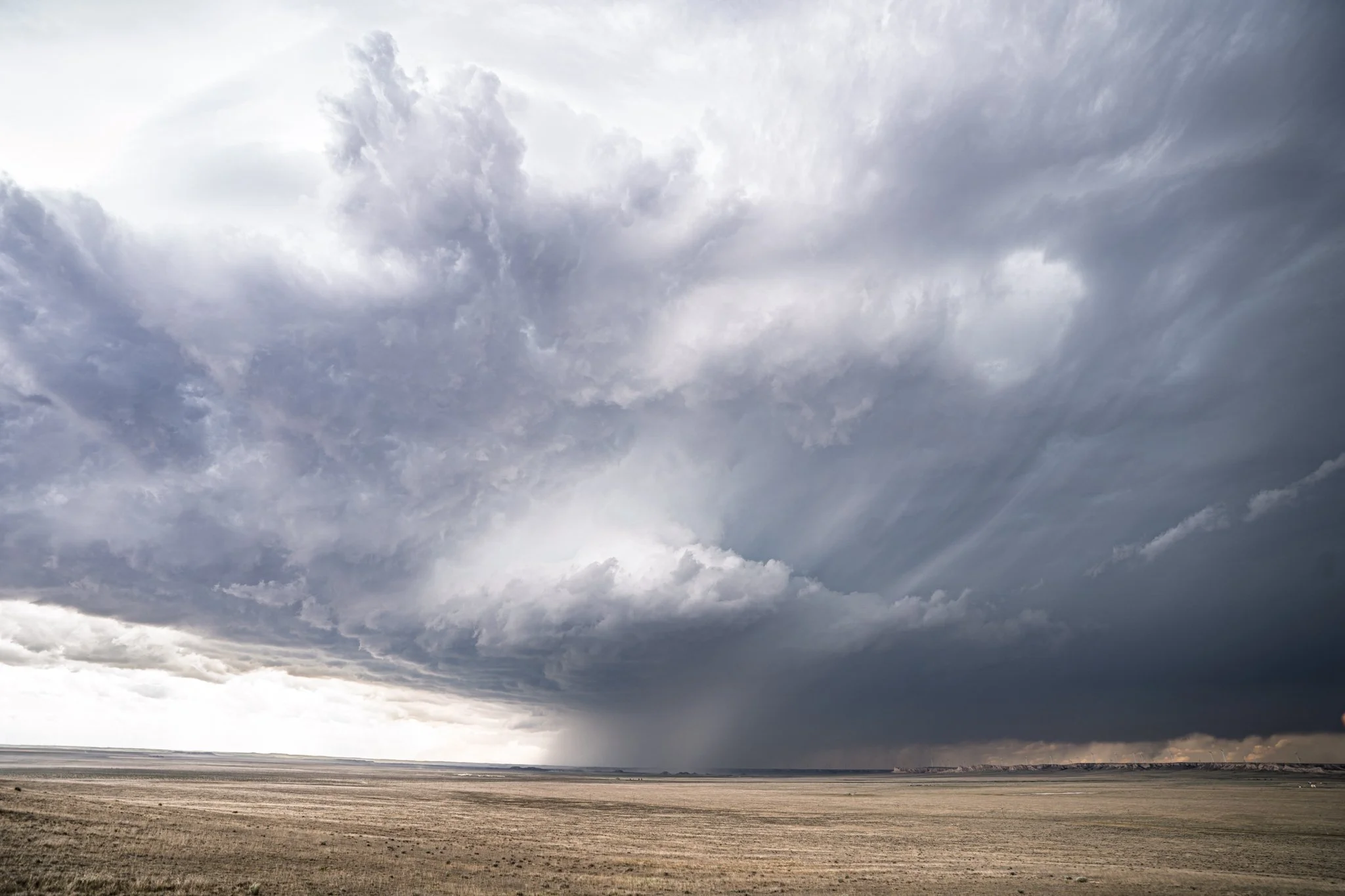
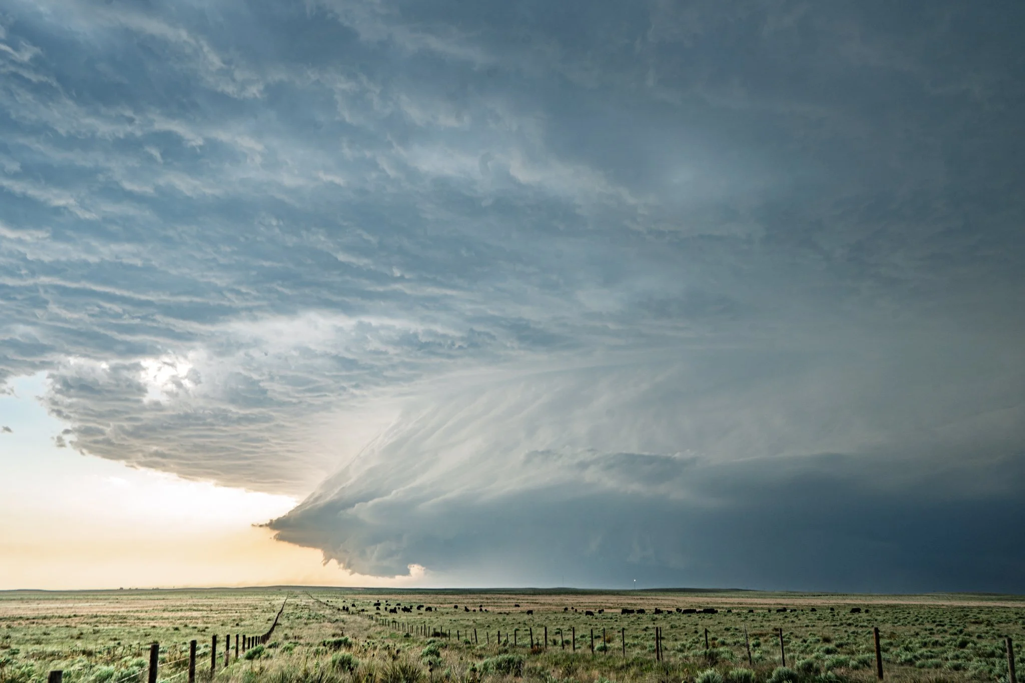
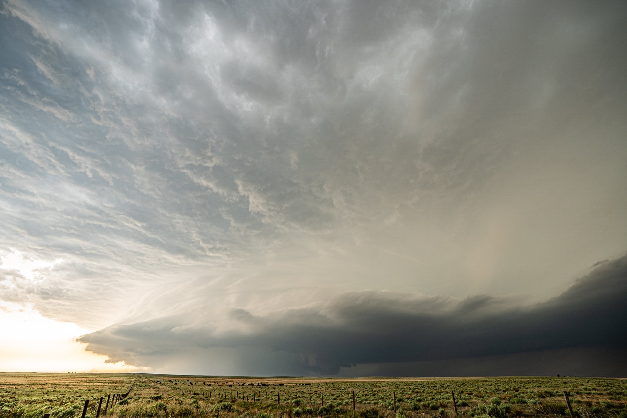
Unreal vantage point to watch this supercell develop initially south of Kimball, Nebraska. Our group got ourselves on a hill watching the storm with the great Tim Marshall. Positioned here for about 30 minutes watching the storm come at us.
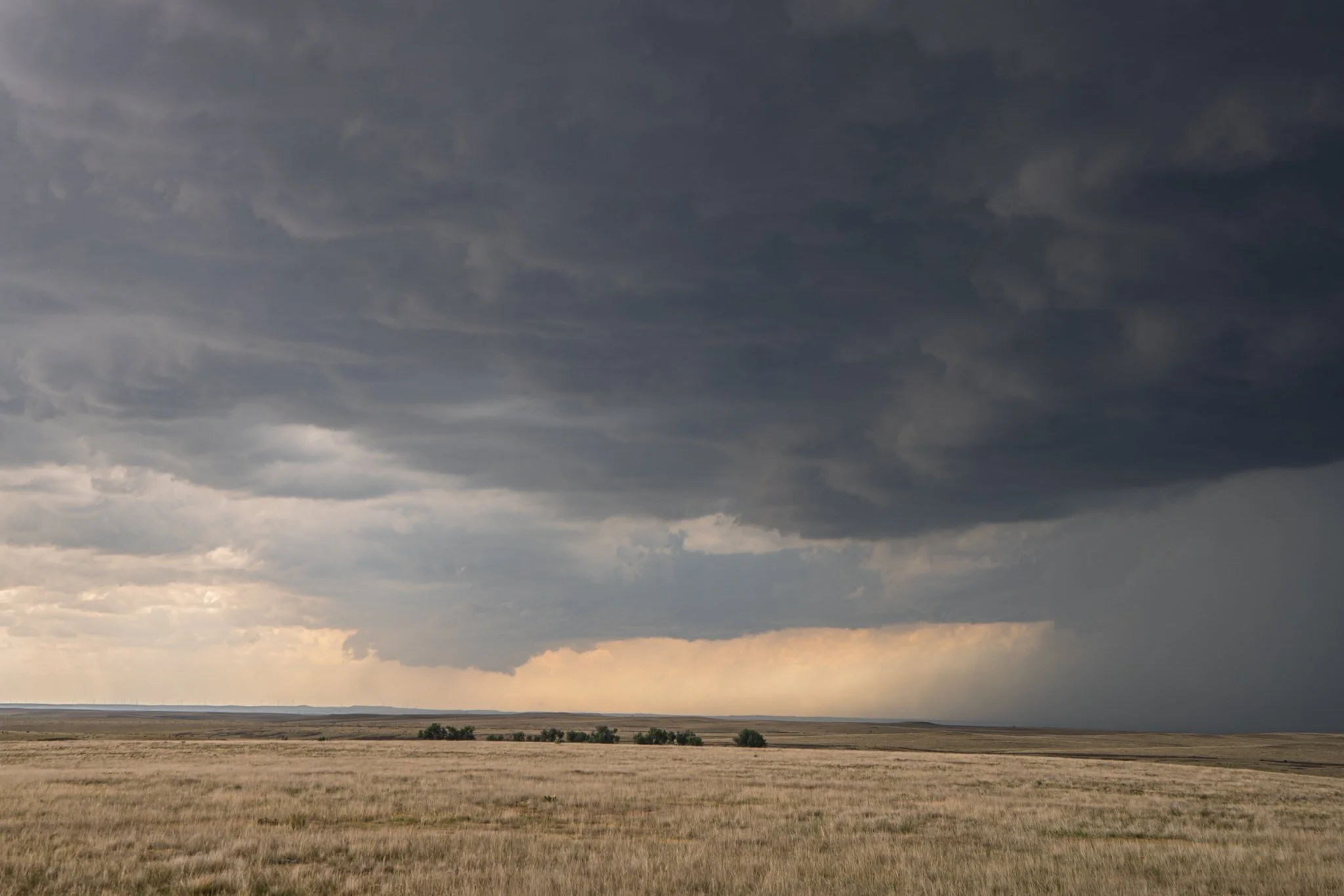
I’ll be damned! Here we have a really nice wall cloud developing a short while later as we sat in the same position on the hill.
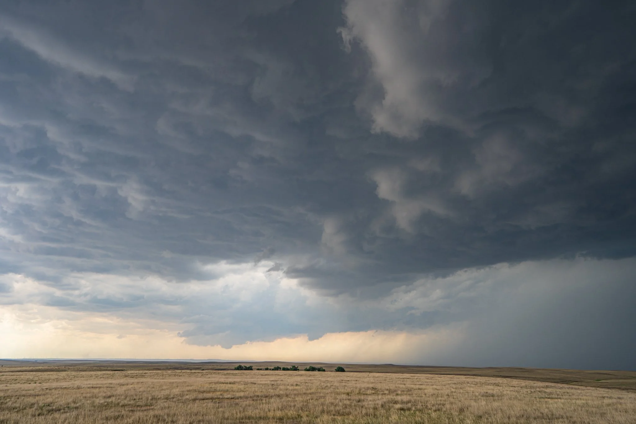
This storm was sure trying. Produced a little nub funnel here that looked briefly interesting.
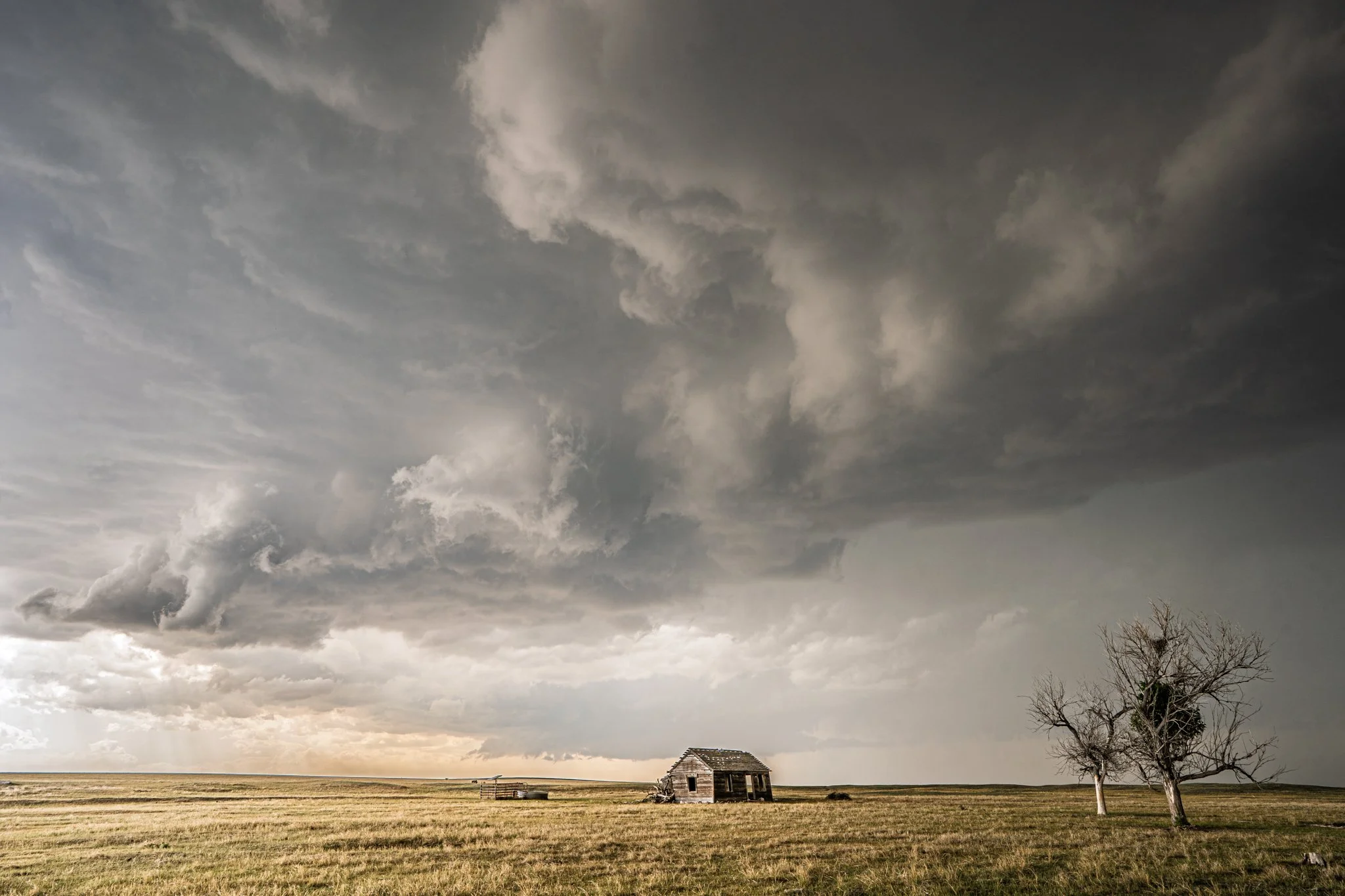
Storm about to engulf abandoned building in northeast Colorado in the Pawnee National Grassland. One of my favorite shots I took while stormchasing this season.
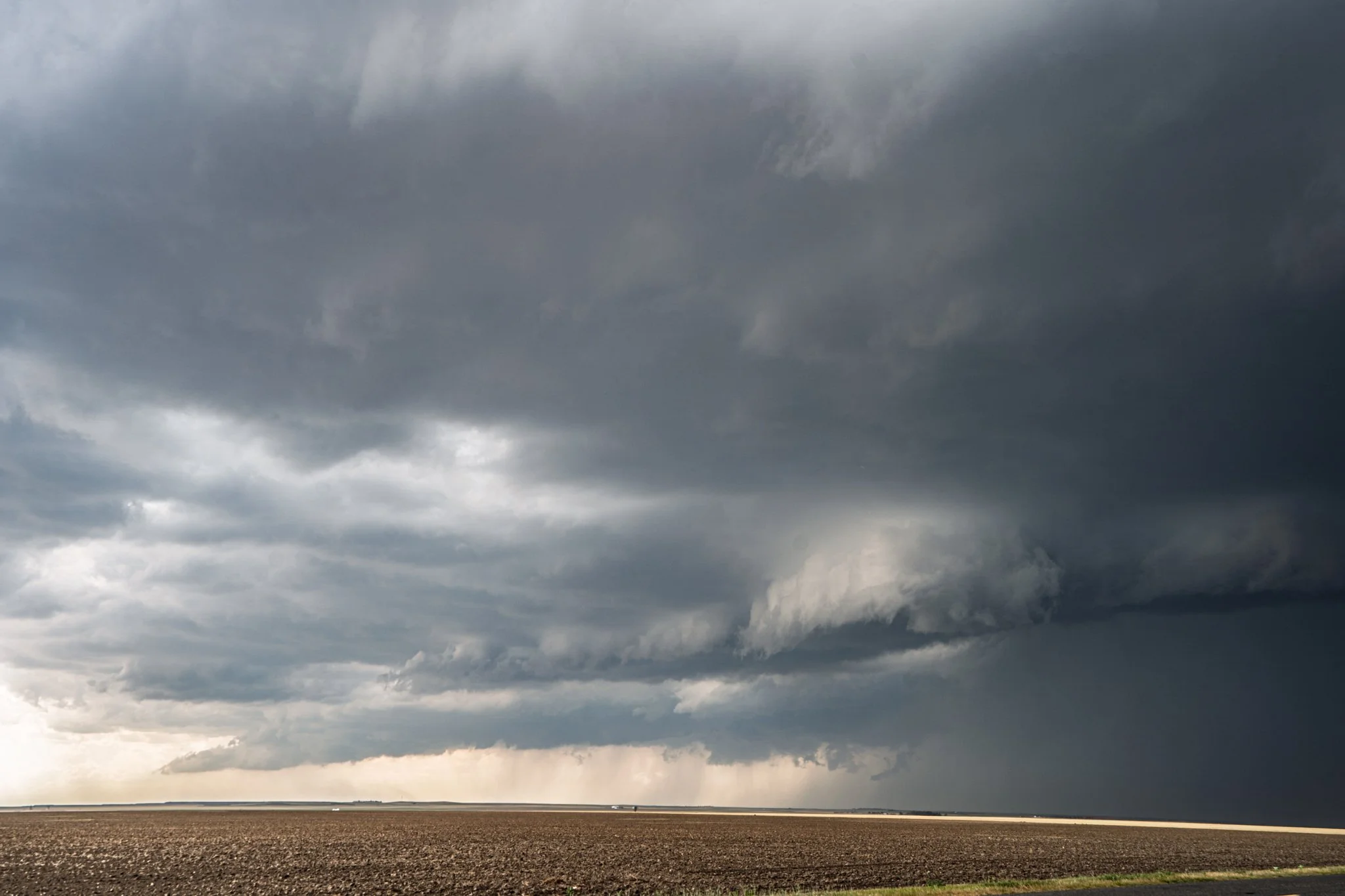
Nice lowering on this storm just to the left of the hail/rain core. Had some motion and consistent condensation into that action area. Felt close to producing a tornado.
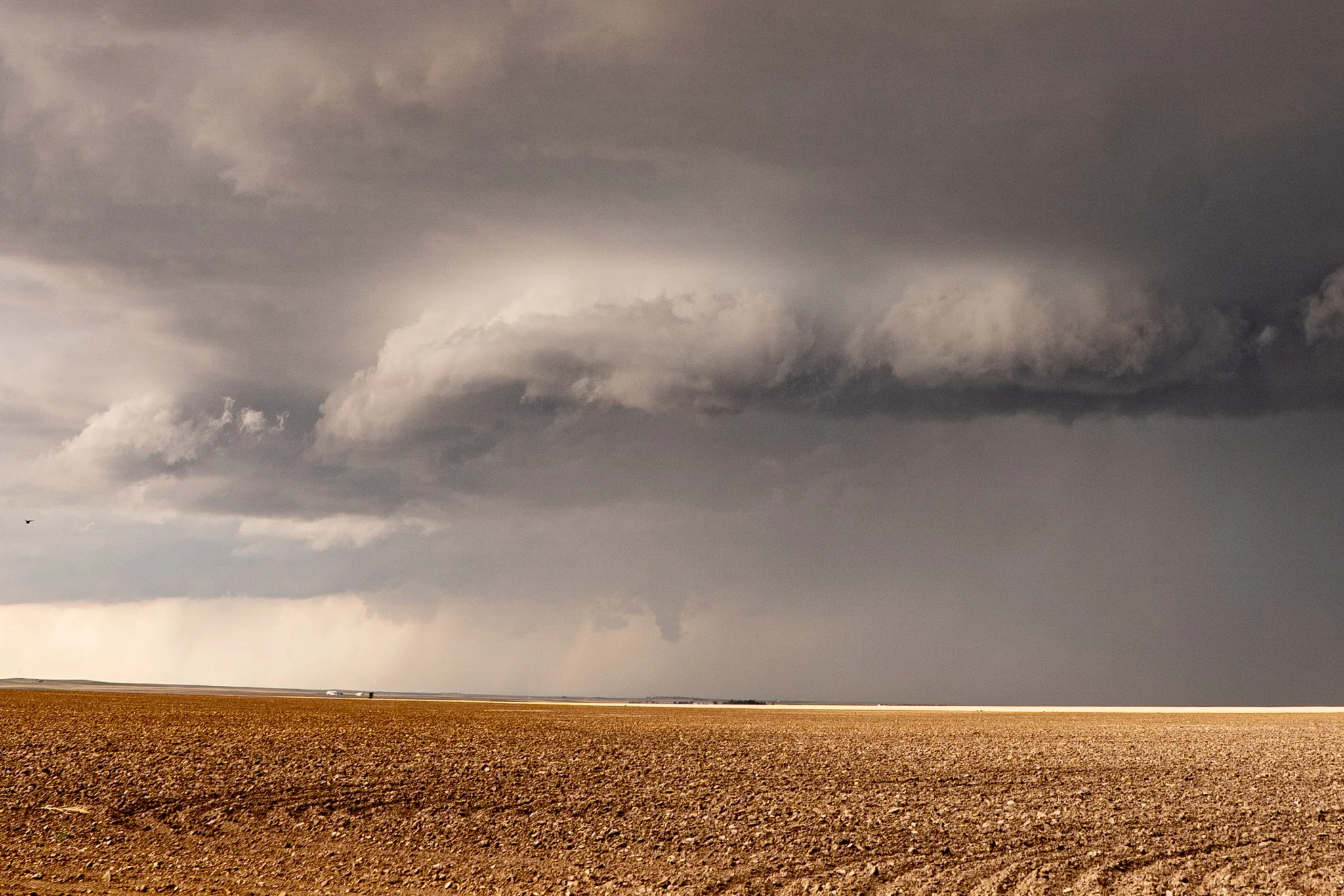
And a short time later it did indeed produce a funnel cloud halfway to the ground!
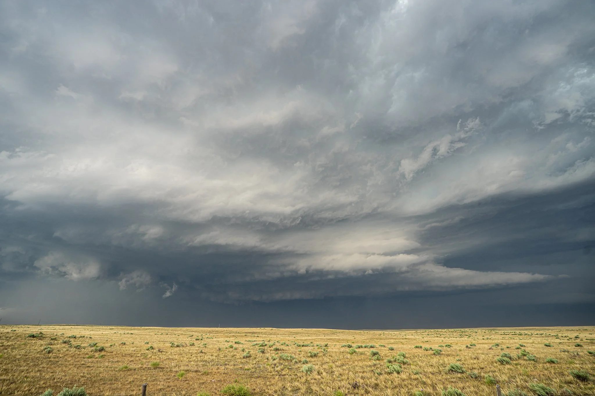
Structure of the supercell still holding on strong. The sharp inflow bands caught my eye here with this scene.
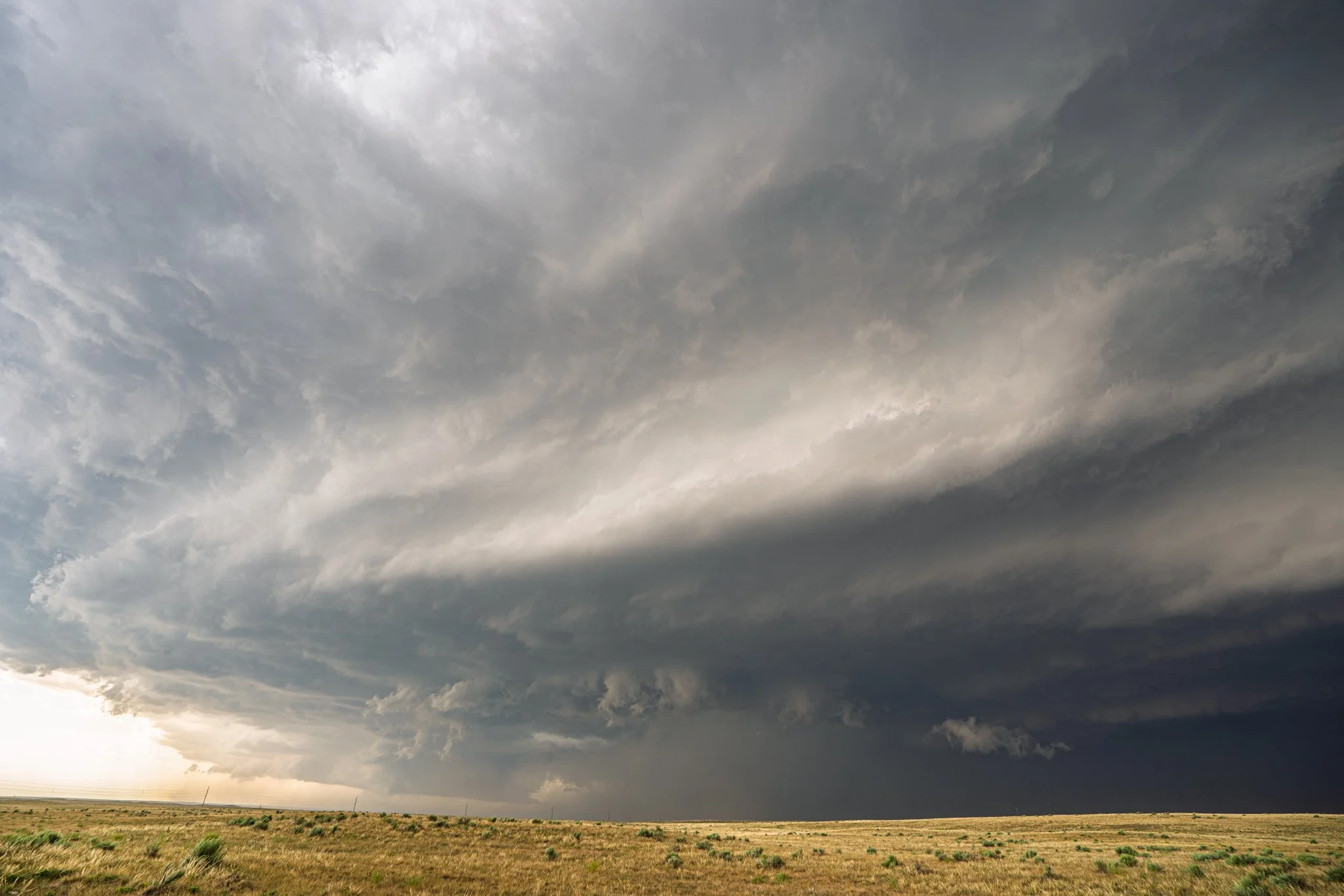
Mean looking tornado warned storm that was producing winds of 70-100 mph along the path. We obviously stayed ahead of the core to have some distance between the destructive winds and hail. What a dirty storm too. So much dust and dirt being sucked into the inflow and visibility was down to near 0 at times.
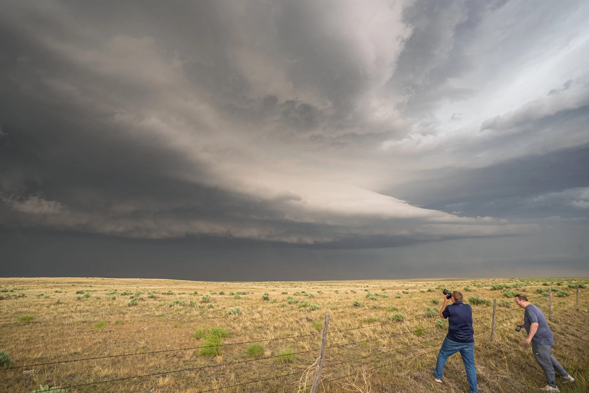
Roger Hill and Connor McCarty in the wild! Shooting the amazing structure of this supercell.
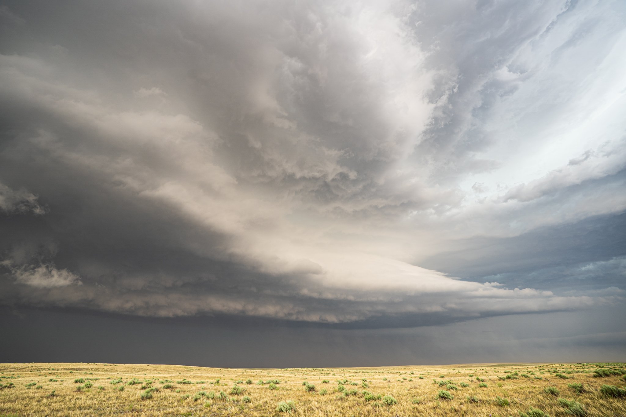
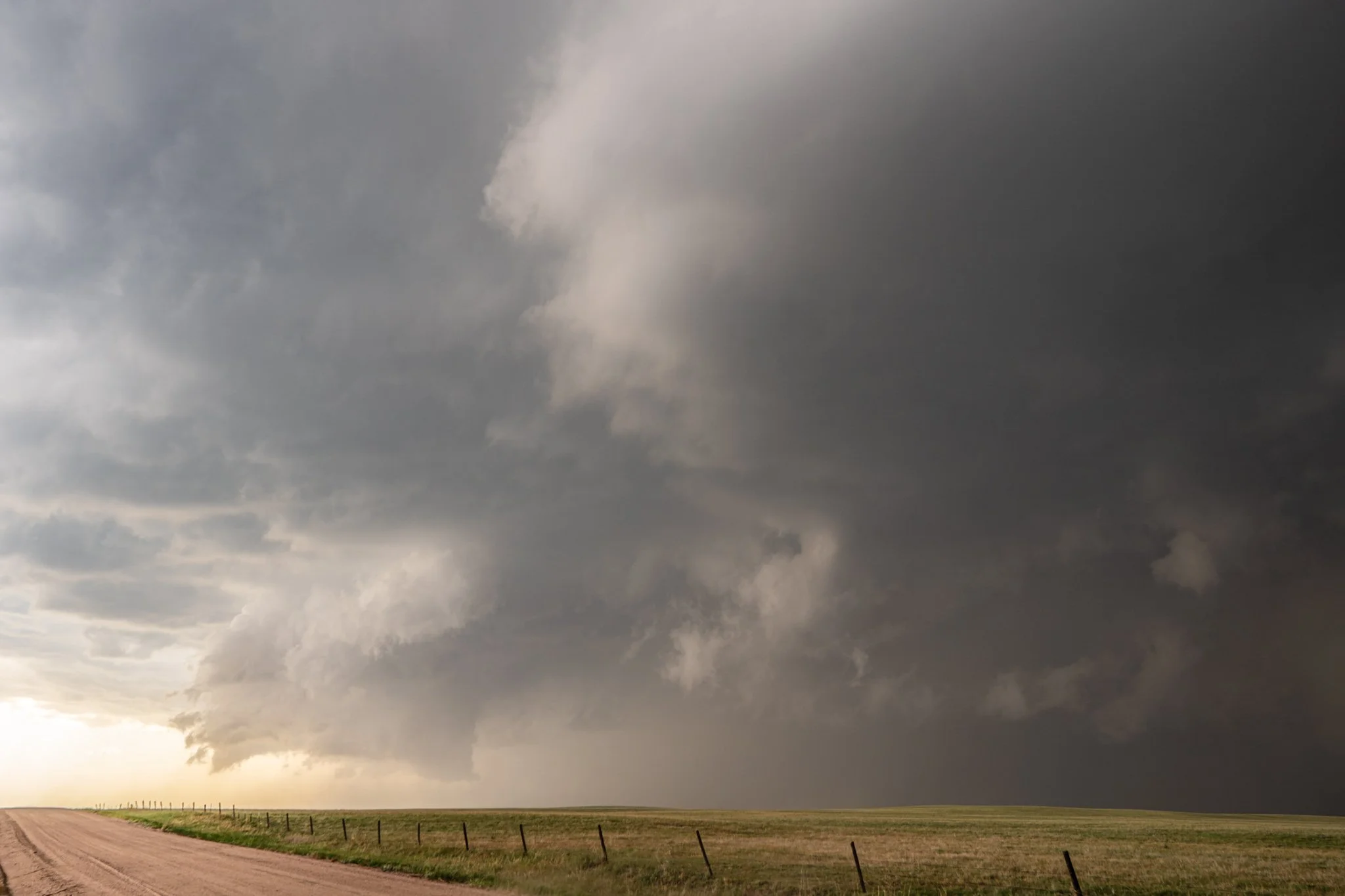
Interesting wall cloud quickly forming here as the RFD was coming around the southwest side of the core. Major hook on radar at this point too. Very close to putting down a tornado. But really nice rotating wall cloud!
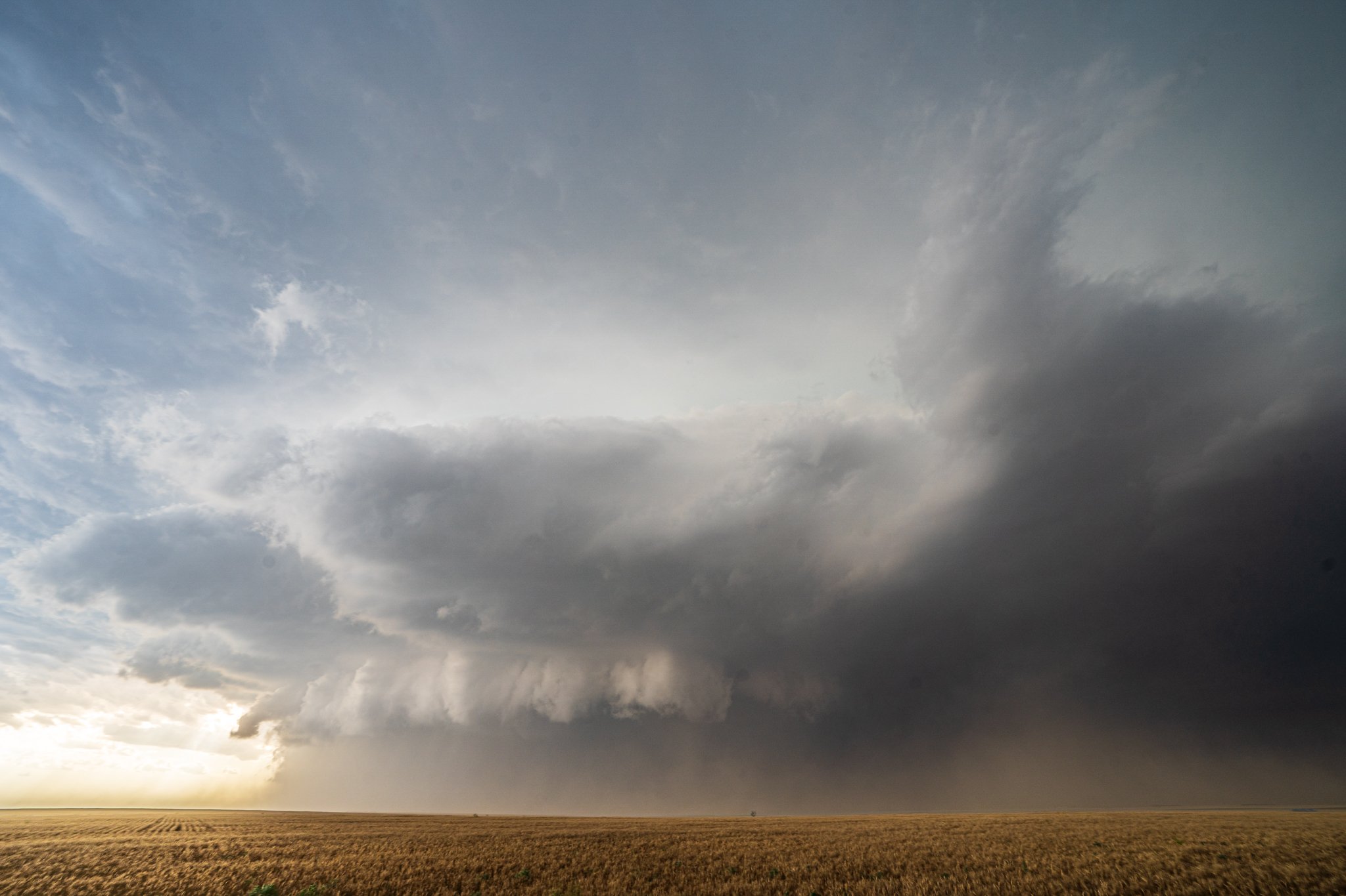
Nature's vacuum. Sucking up all the dust and dirt it can. South of Akron, Colorado.
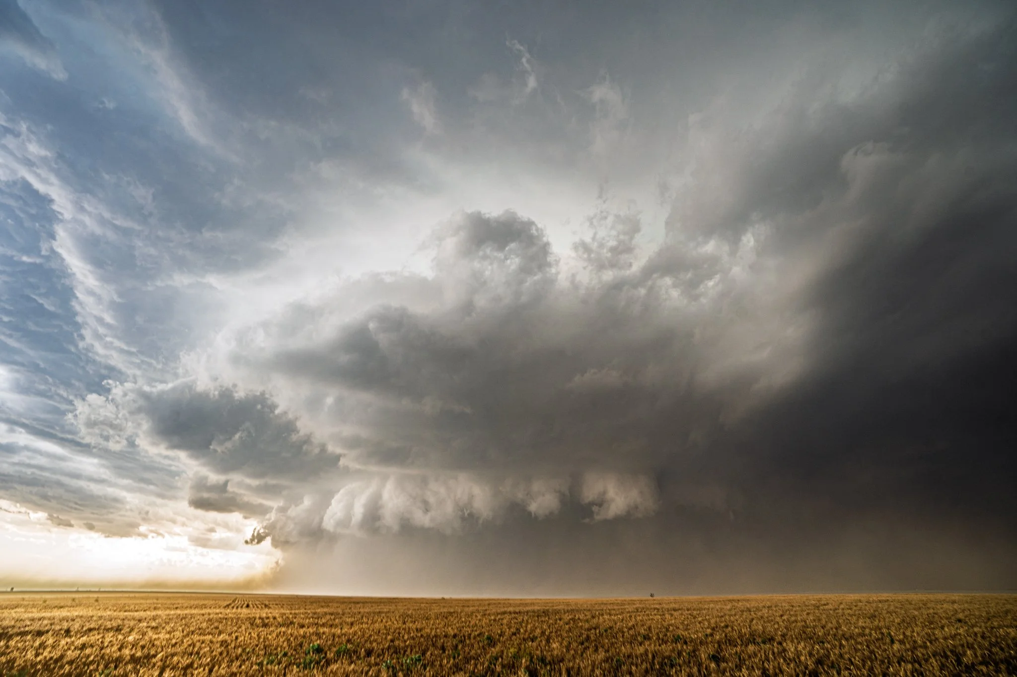
Another shot from this vantage point. Inflow had to be near 50 mph here into this storm from our backs directly ahead into this supercell base.
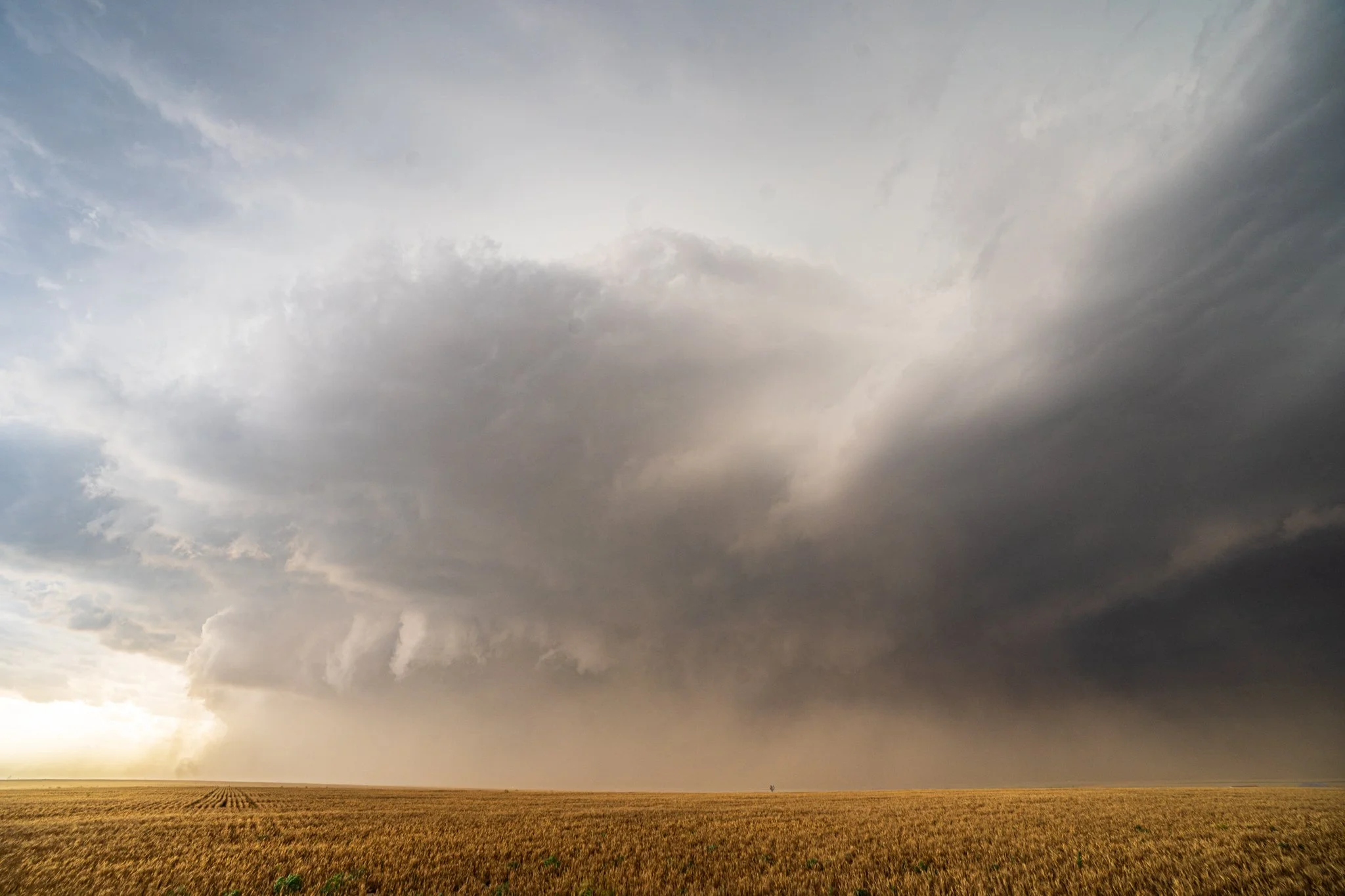
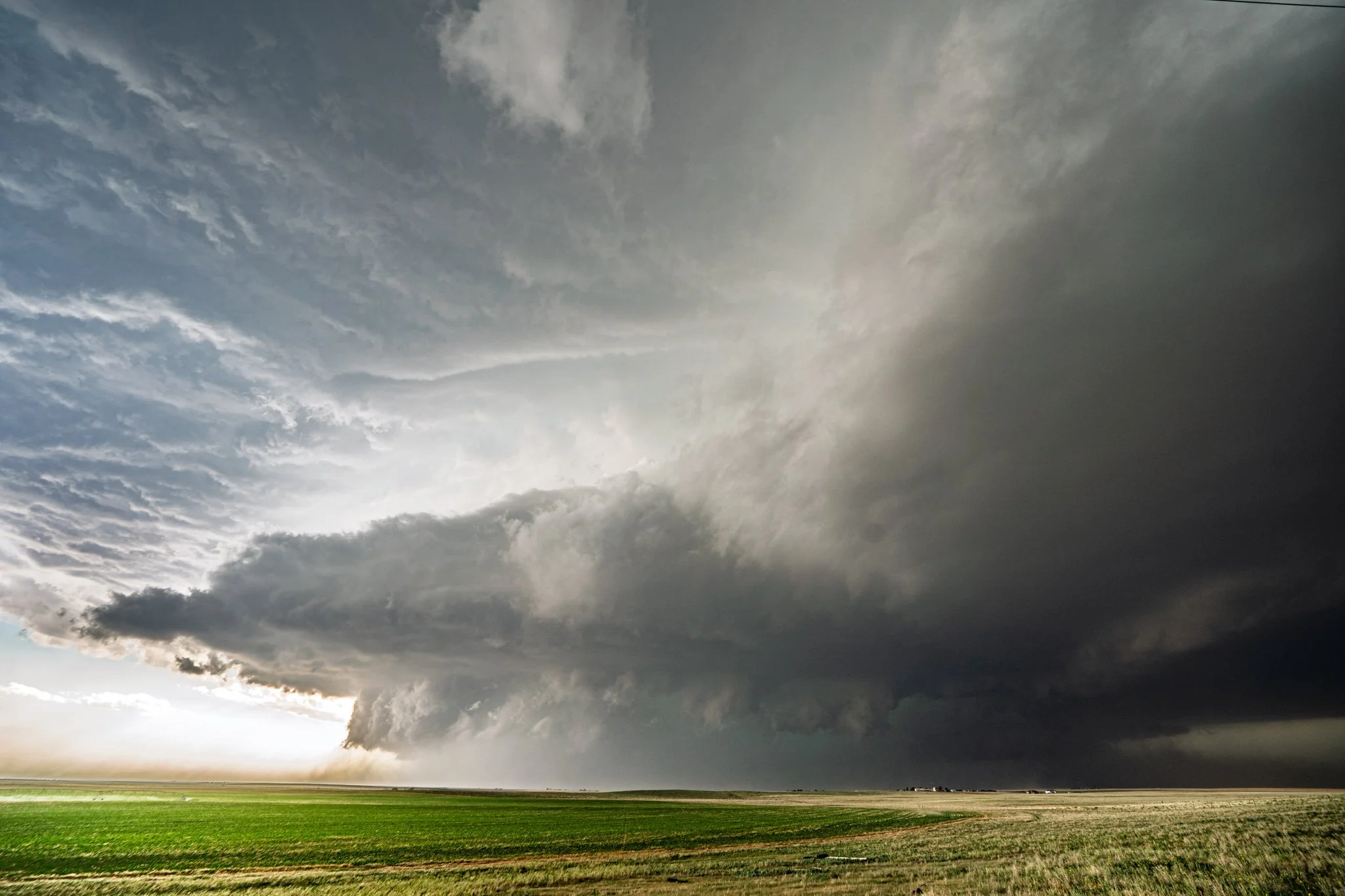
Wow, what a beauty of a storm! This is why I chase is for storms like this. Terrific structure.
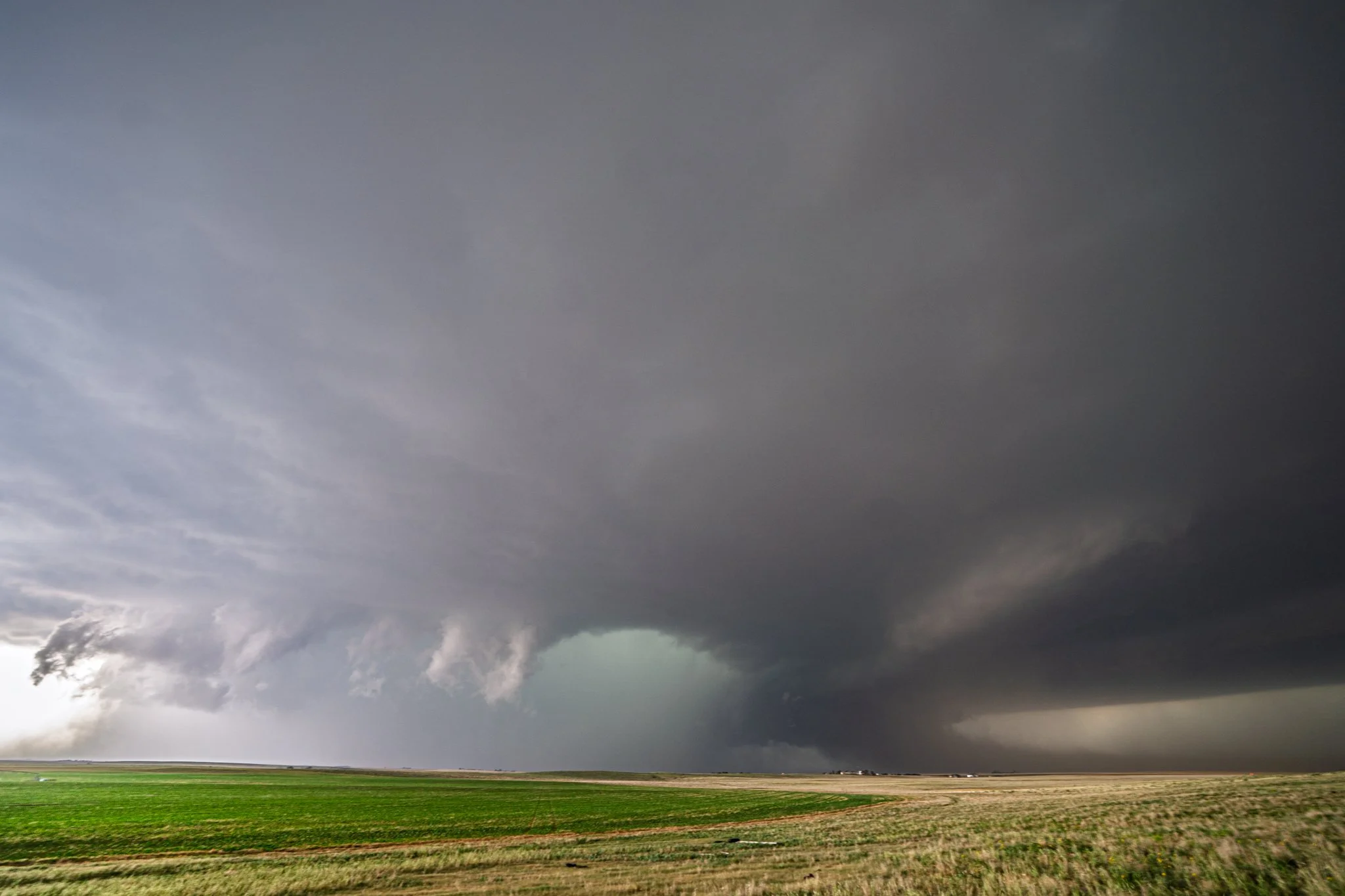
Still tornado warned with an intense hail core and that blue-green color. Ground scraping inflow tail on the right with all the dirt clearly being sucked into the storm.
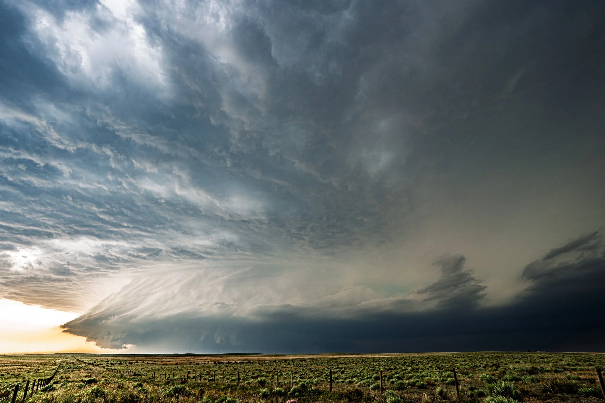
Absolutely gorgeous storm! Awesome shelf cloud starting to form here now as the storm was starting to become more outflow dominant near Cope, Colorado.