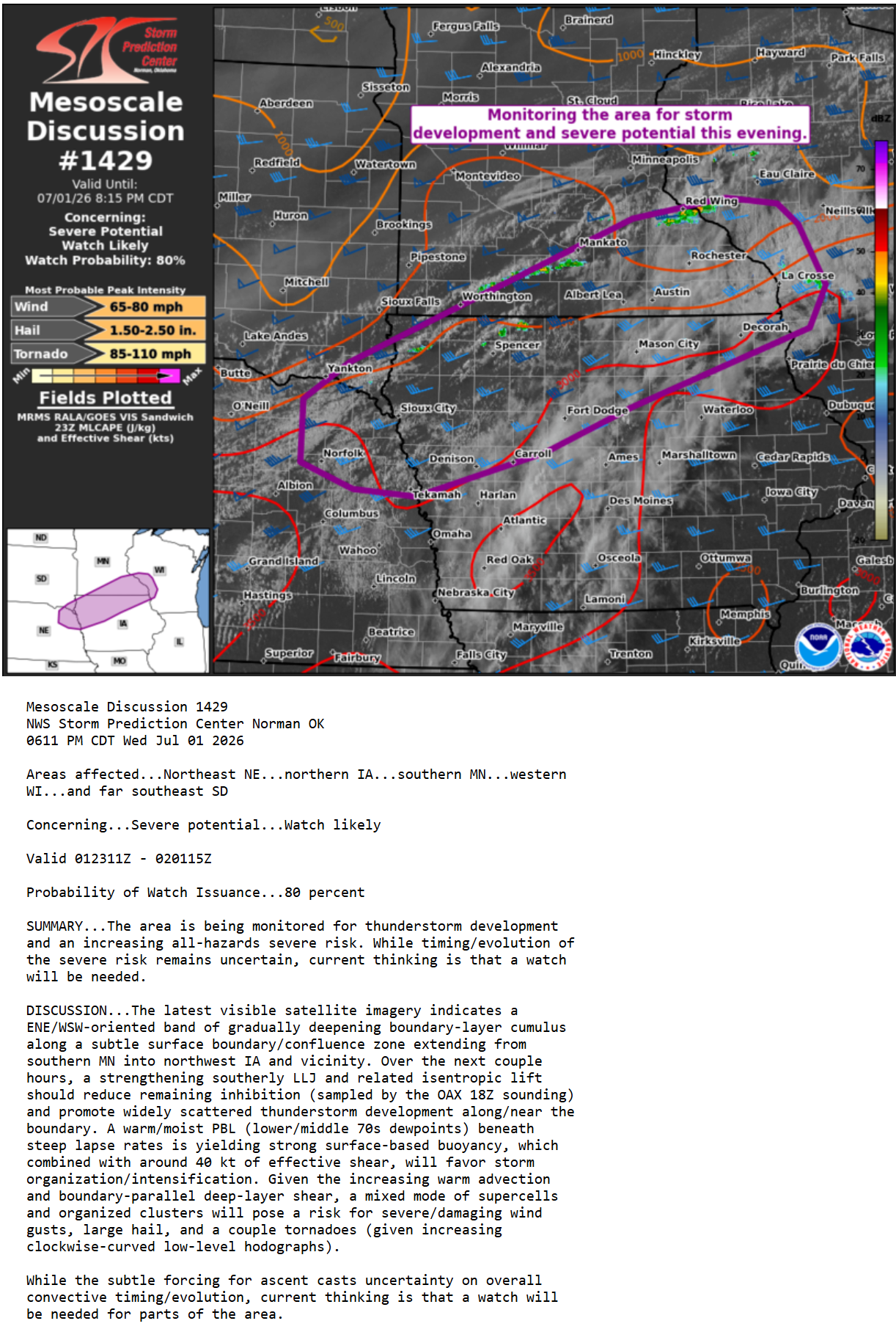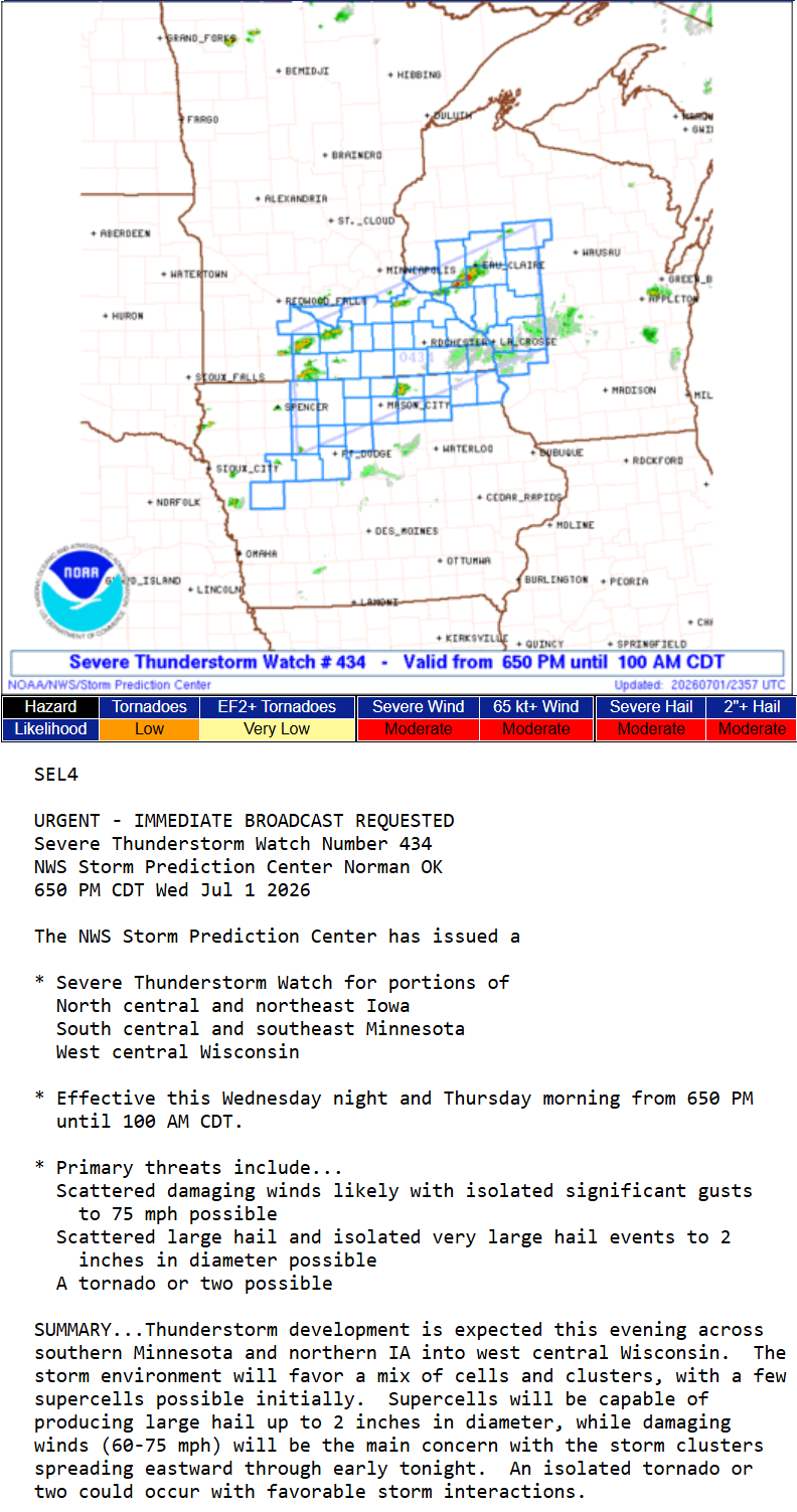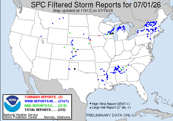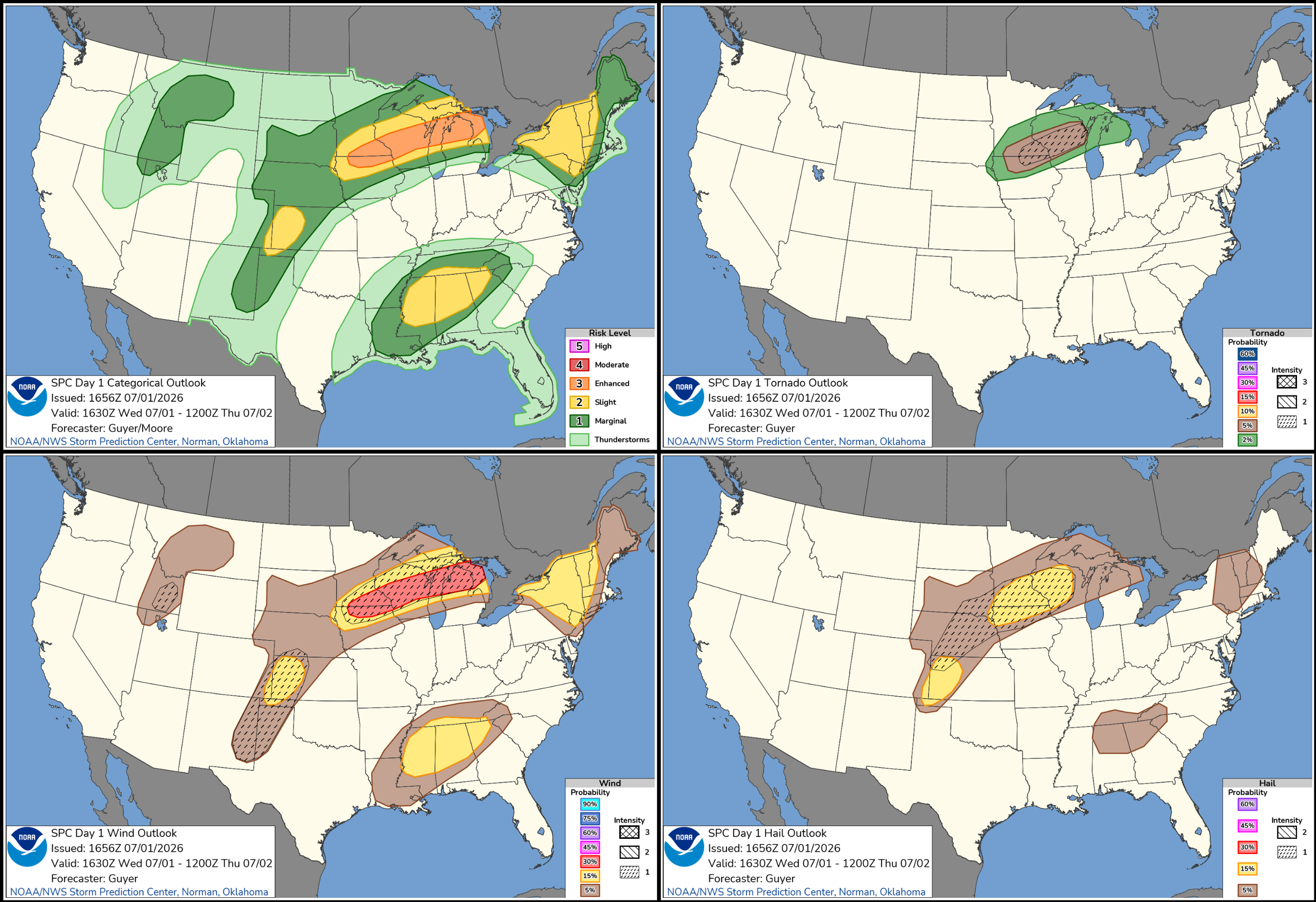
JULY 1, 2026 MINNESOTA: A RARE LOCAL CHASE THIS YEAR
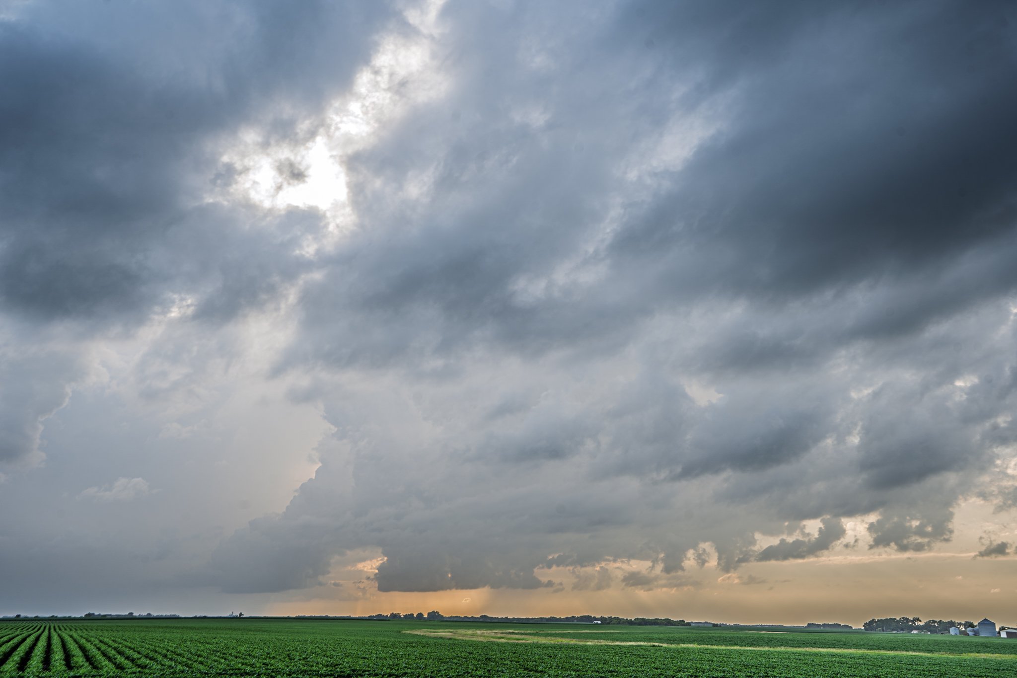
Initial storm with a ragged lowering near Amboy, Minnesota.
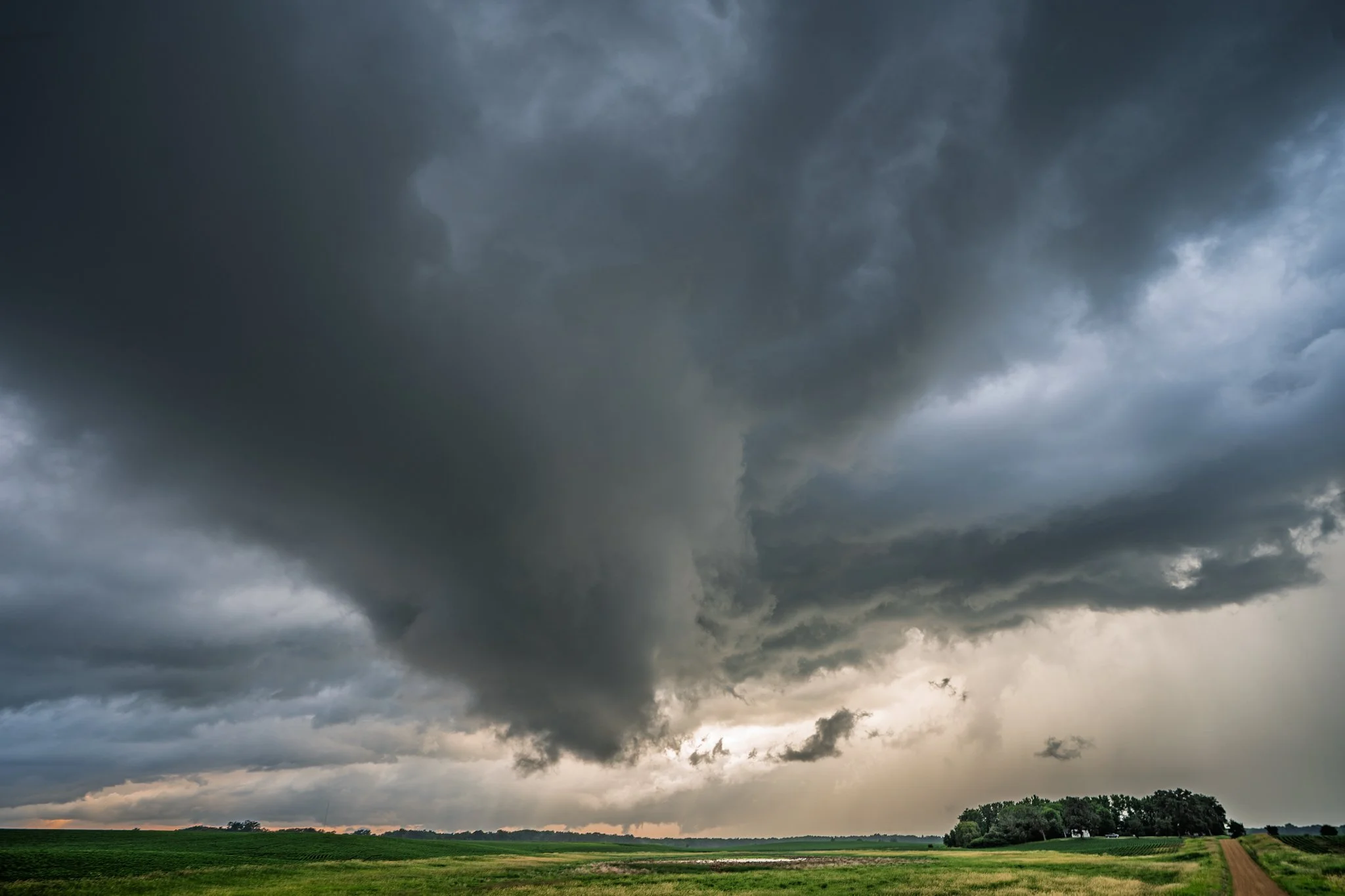
This was the best attempt at producing a tornado. Had a decent couplet here on radar too. Slow rotation on this lowering and rising scud into the action area.
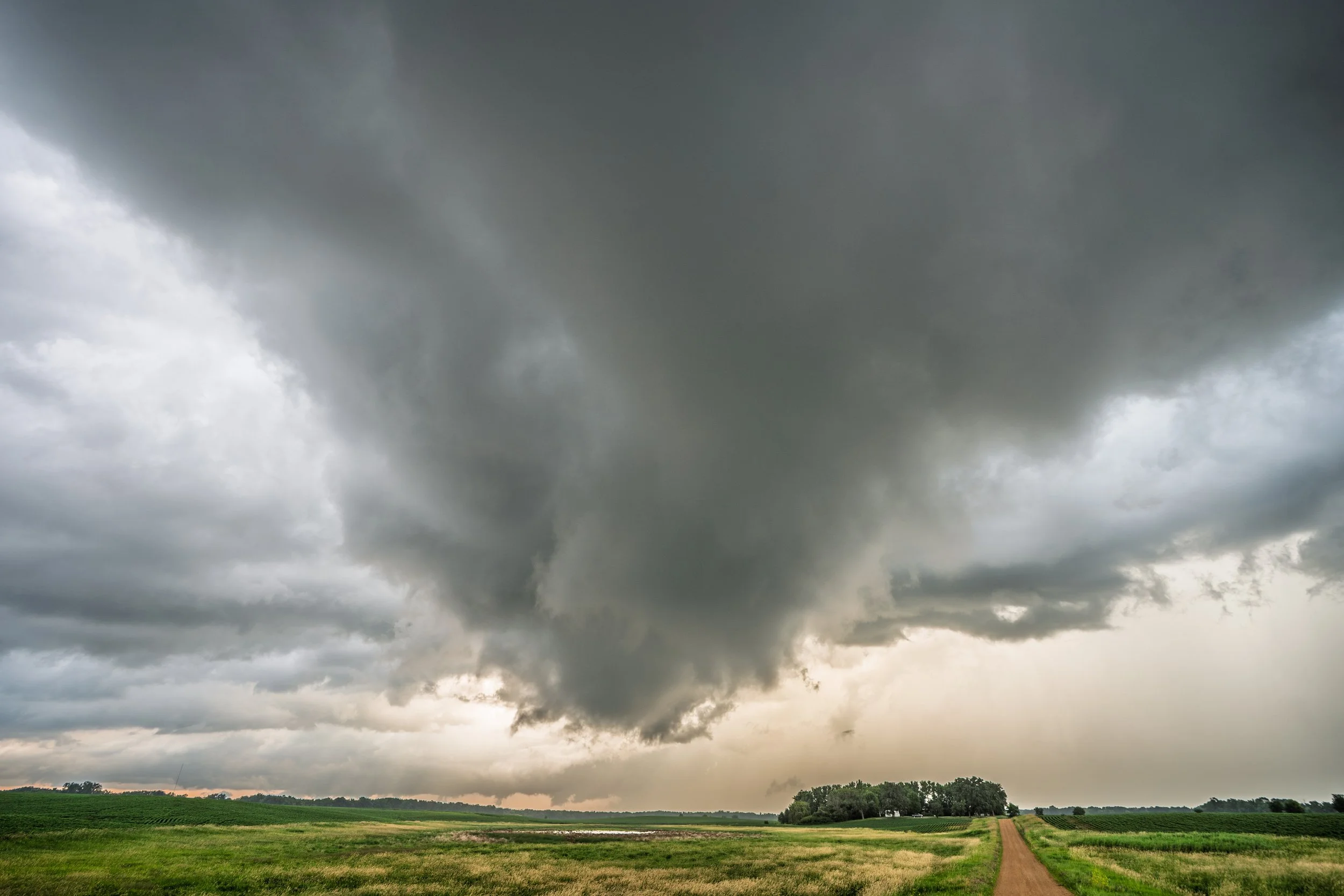
Lowering wrapping up and tightening some as it moved just to the north of my location. Again, slow rotation but nothing that appeared too threatening to plant a tornado at any point.
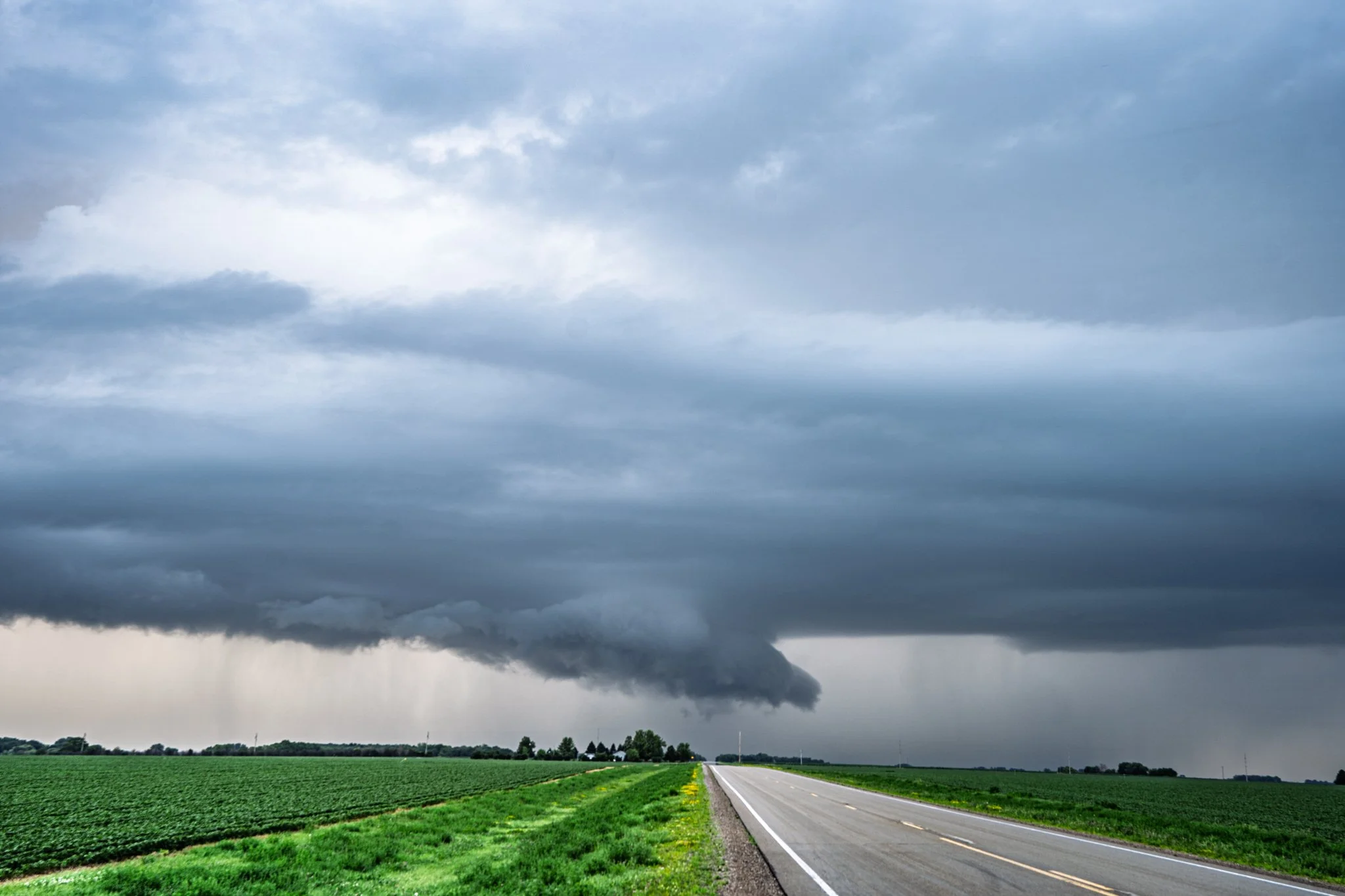
Another wall cloud further east that had condensing scud into it. Nothing close to producing a tornado but interesting nonetheless.
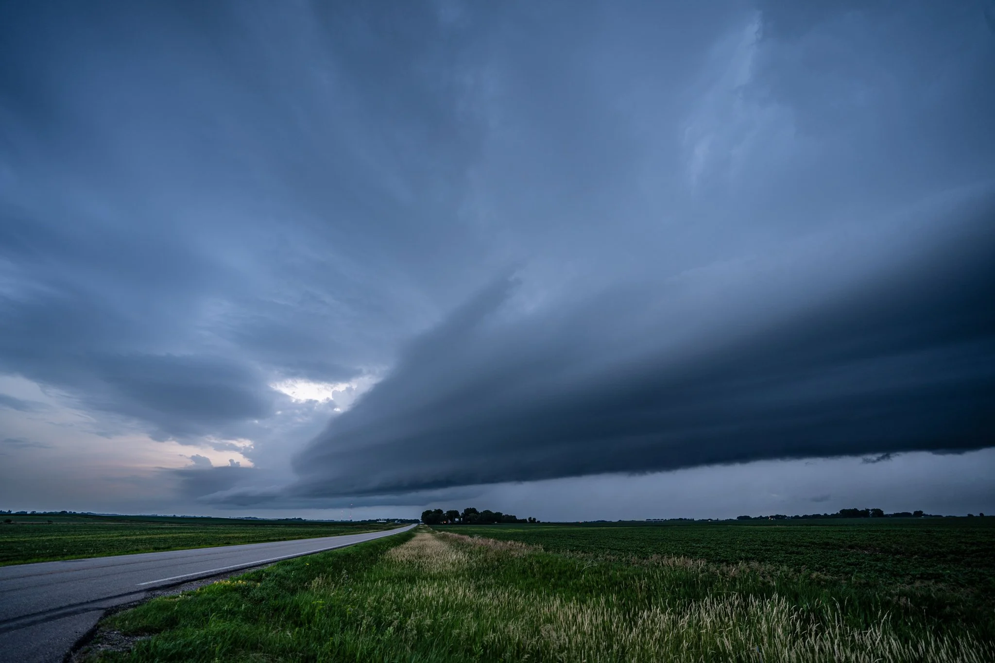
Storm gusting out and producing a decent shelf cloud near Waseca, Minnesota.
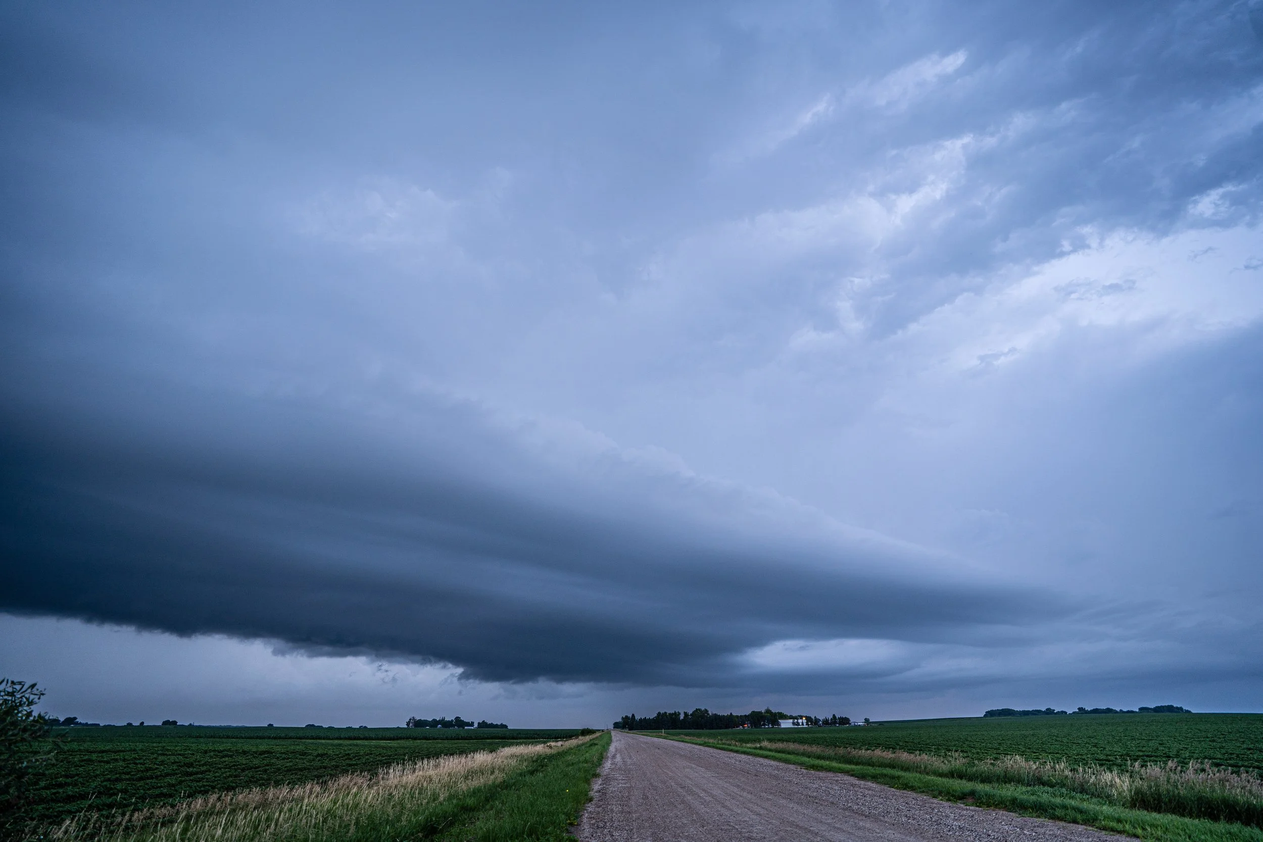
Looking the other direction to the north at the other end of the shelf cloud.
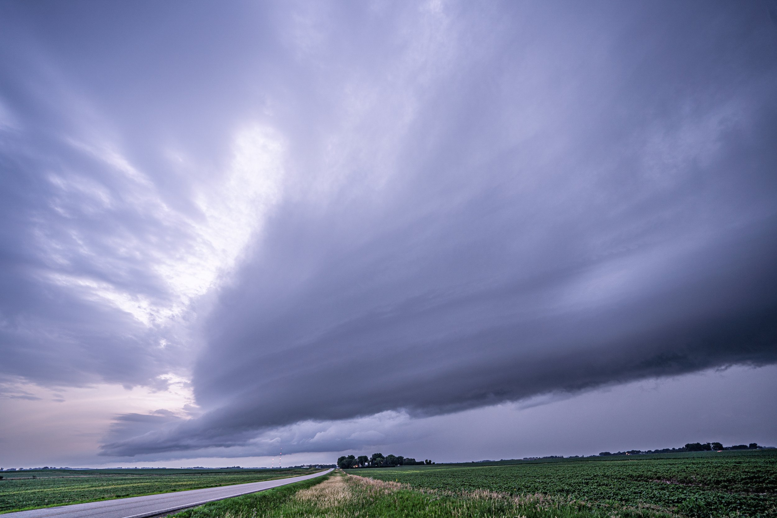
Last shot of the day of the shelf cloud. I followed the storm further east to Owatonna and headed home on I-35, only 40 minutes from home.