First storm of the day going up right on the triple point near Harvey, North Dakota. We are in the right spot!
Storm base starting to tighten up a bit with tilted updraft overhead. Can see another storm base forming to the south.
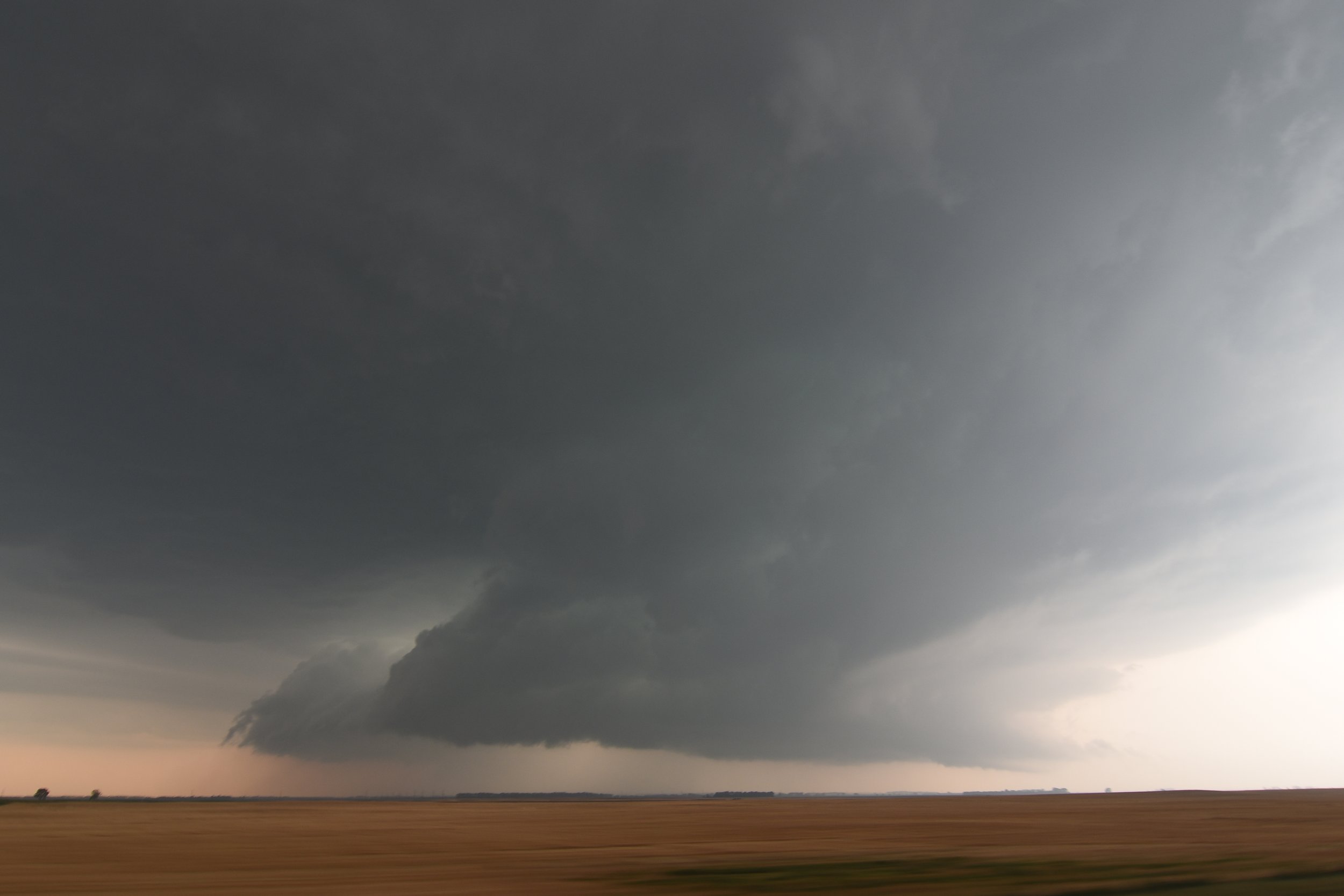
Wall cloud formed a short while later and began to get organized.
Broad mesocyclone with bowl lowering in there for a while near Hamberg, North Dakota.
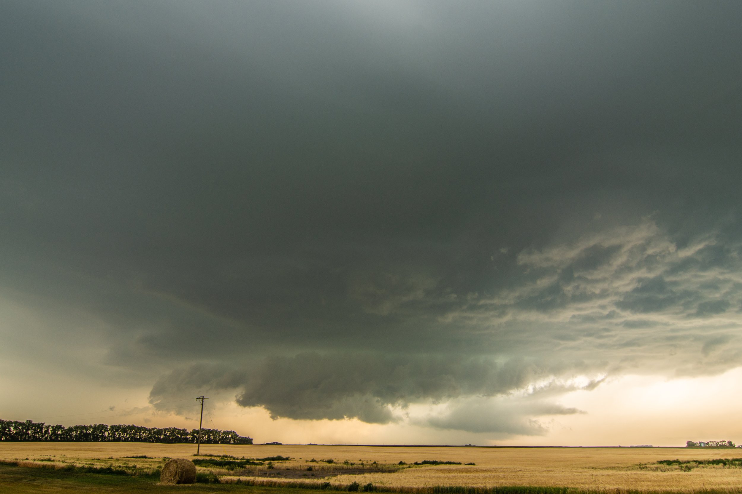
We got cows! They’re wondering what I’m doing here while another wall cloud organizes behind them near New Rockford, North Dakota.
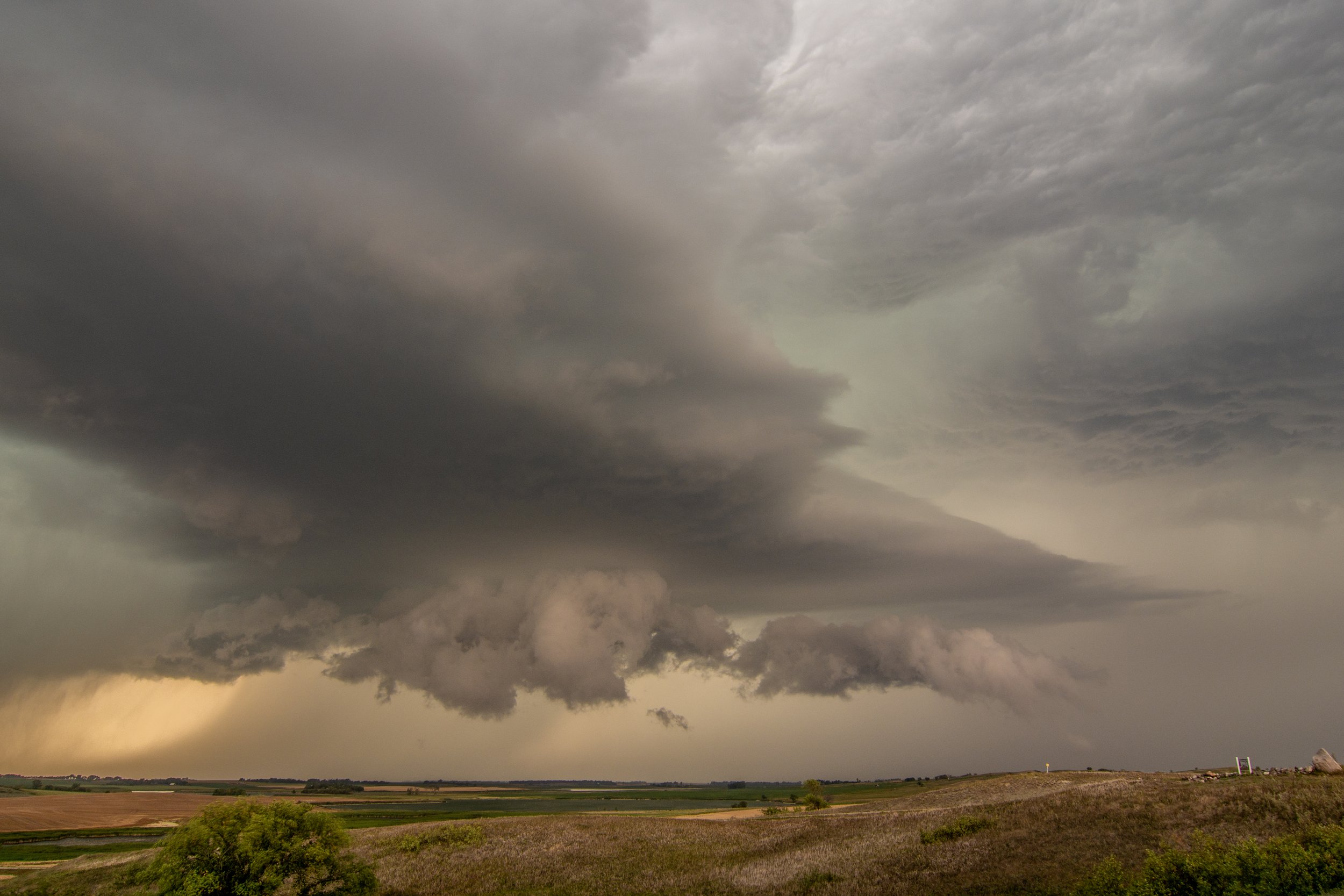
Awesome structure on the storm with impressive, big wall cloud and inflow tail near McHenry, North Dakota!
Big crescent roll twisting and turning wall cloud. Lots of motion going on with this thing at this time with very fast condensation right to left of the inflow tail.
Major hook echo and couplet on the storm at this point when the wall cloud was tightening up.
The storm structure is hanging on very well here near Binford, North Dakota.
Terrific vantage point here up on a big hill watching the next storm approach from the southwest. Caught a lightning bolt in there on the left side of the core.
New storm starting to get organized as we approach sunset.
Wall cloud now forming on the new storm near Aneta, North Dakota. Love that color as the sun is setting behind the storm as we’re looking west.
Tornado warned storm with well established wall cloud near Aneta, North Dakota after sun has set.
Lit up storm with strobe lightning east of Finley, North Dakota.