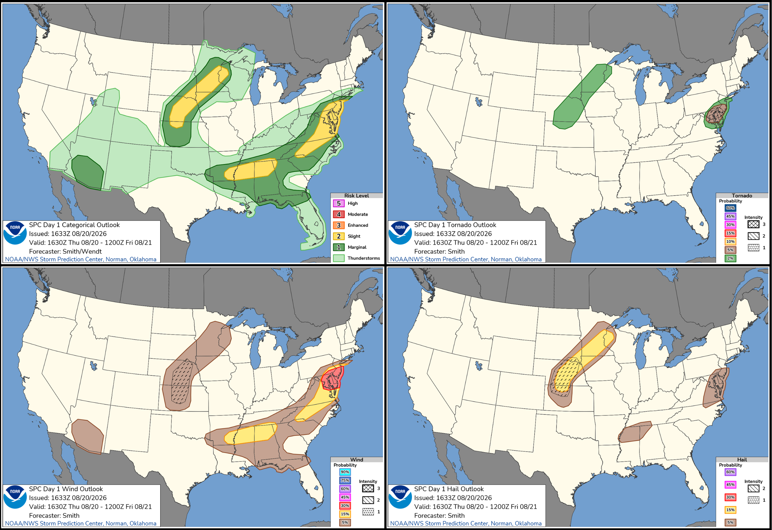
AUGUST 20, 2026 MINNESOTA: ISOLATED SUPERCELL AND WALL CLOUDS
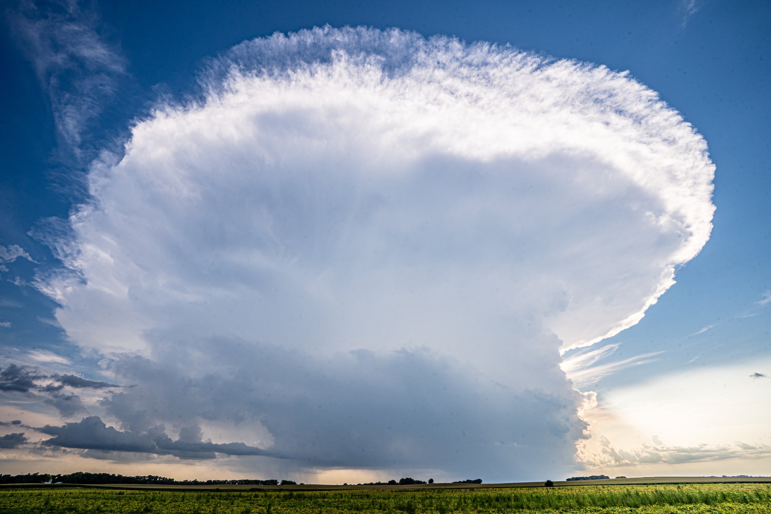
Gorgeous storm exploding near Vesta, Minnesota on the weak surface trough. Inflow tails streaming into the base as the moisture is being pulled into the updraft.
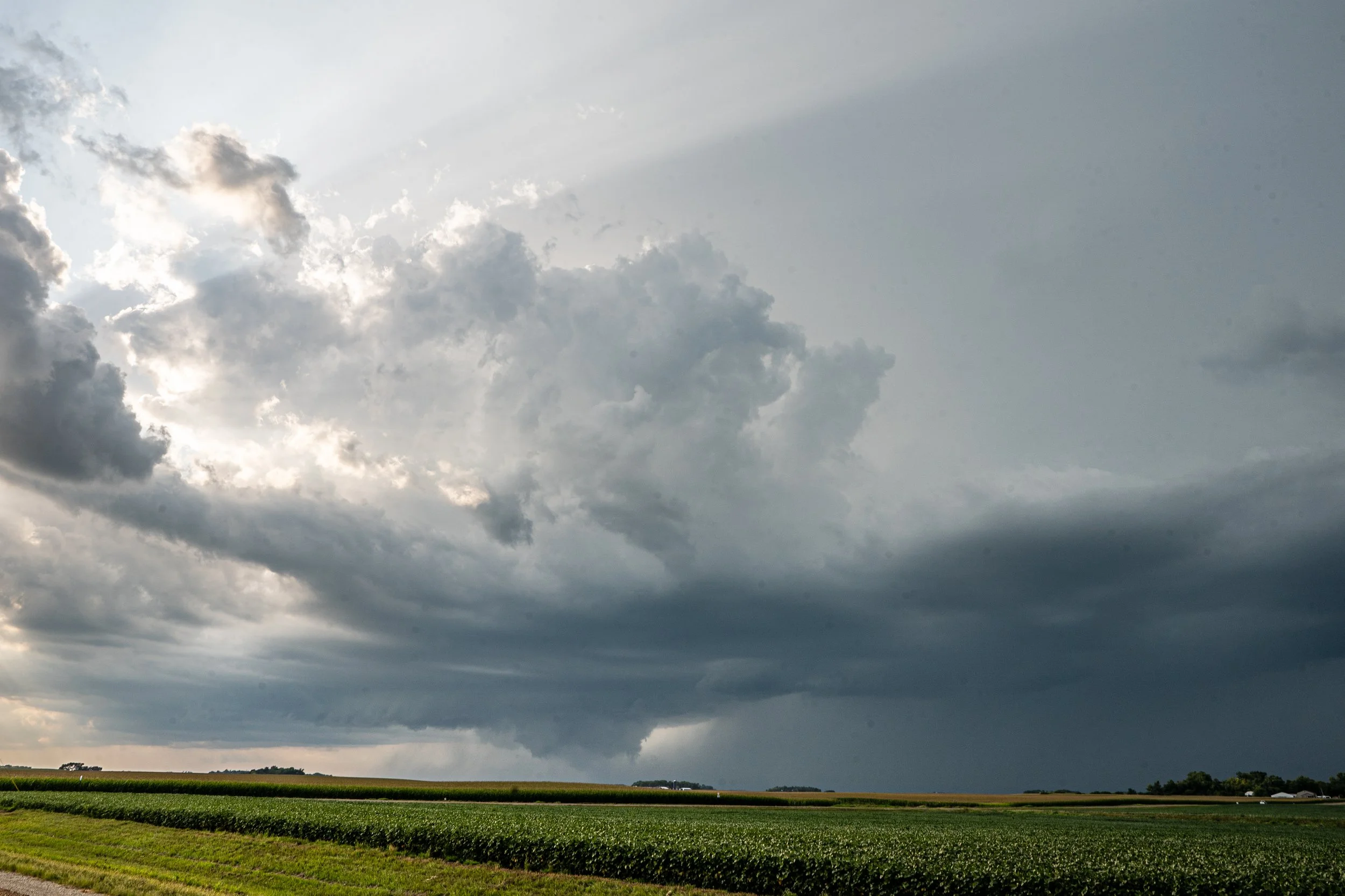
Wall cloud forming on the storm at 6:53 p.m. as the developing supercell becomes better organized and more robust.
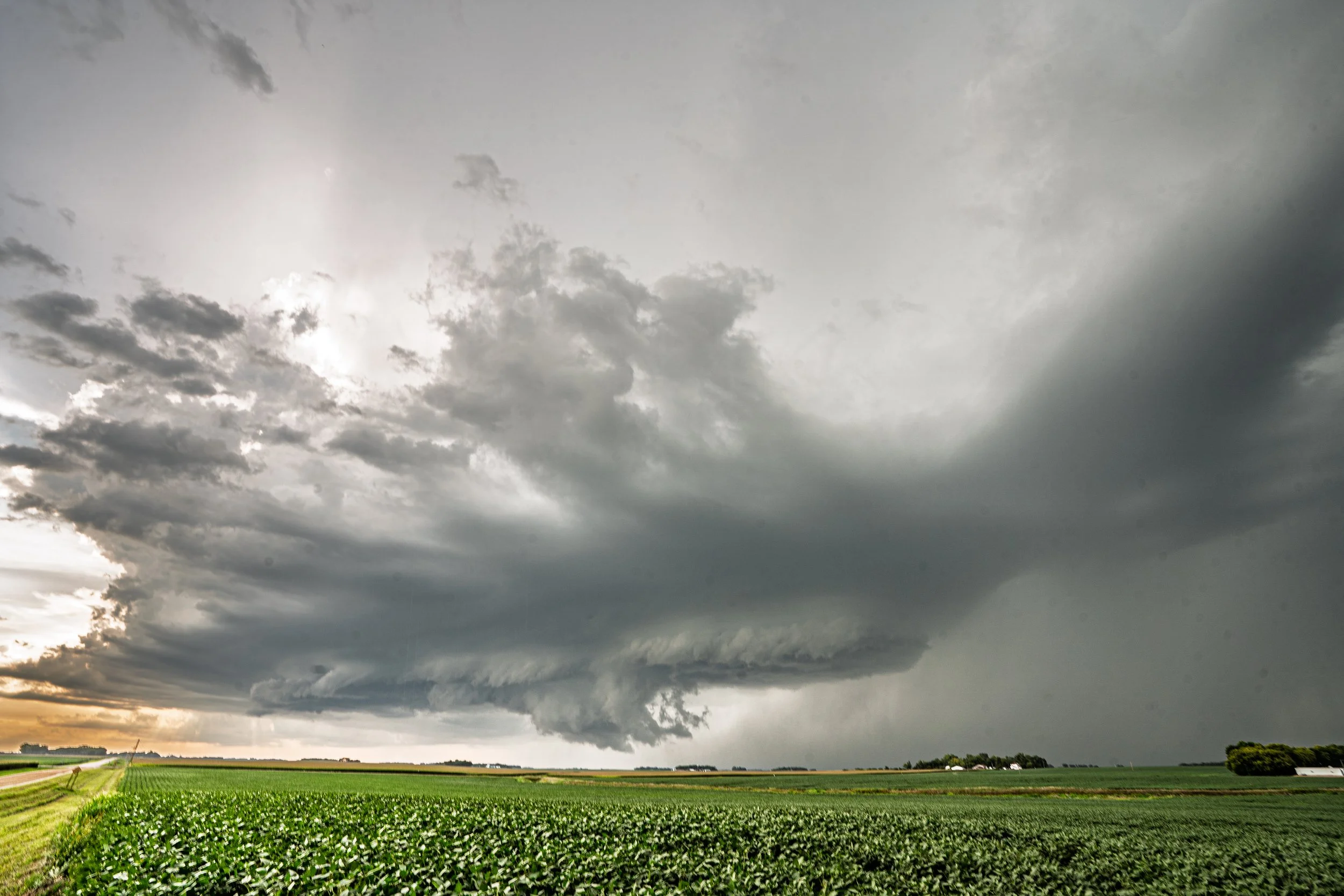
A short time later at 7:05 p.m. the wall cloud moving closer to my position and becoming more organized with faster condensation into the base. Inflow into the image from my back becoming stronger.
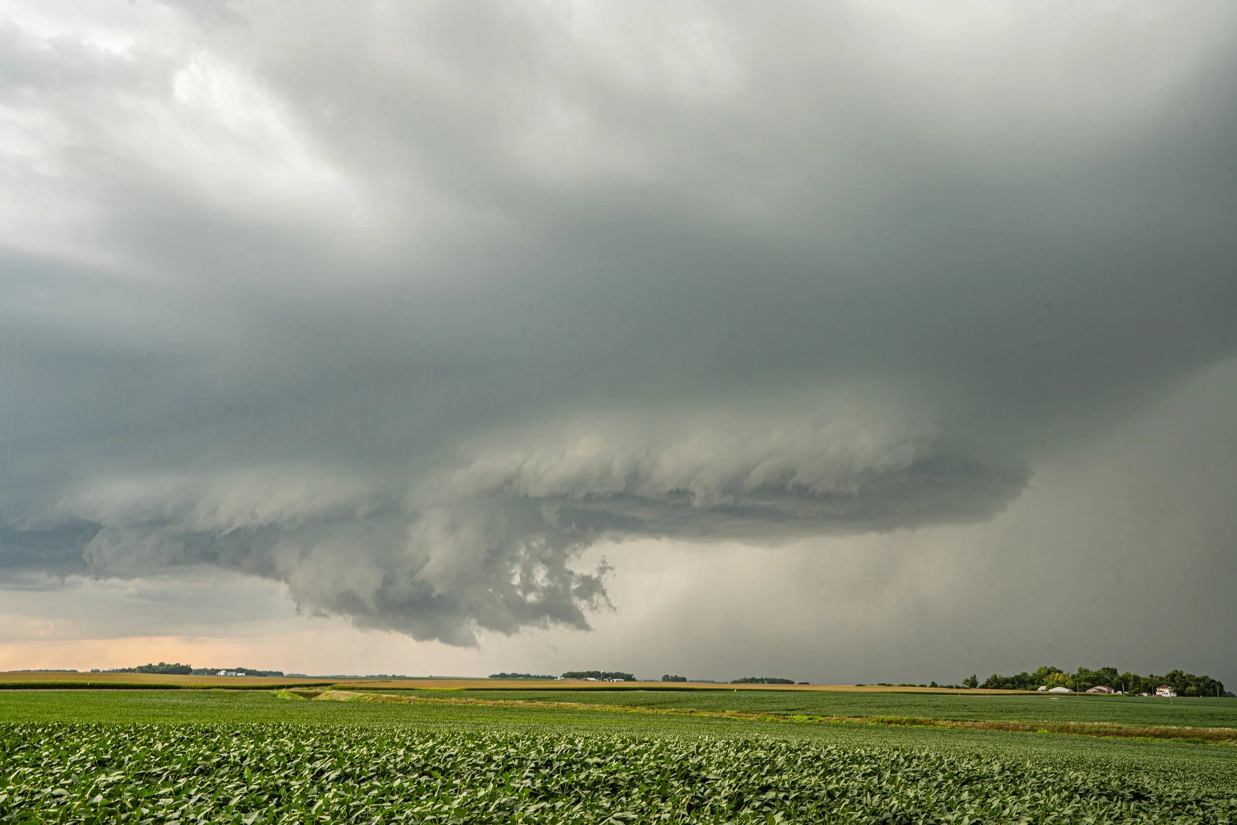
Zoomed in cropped view of the wall cloud and storm base. This was near Seaforth, Minnesota.
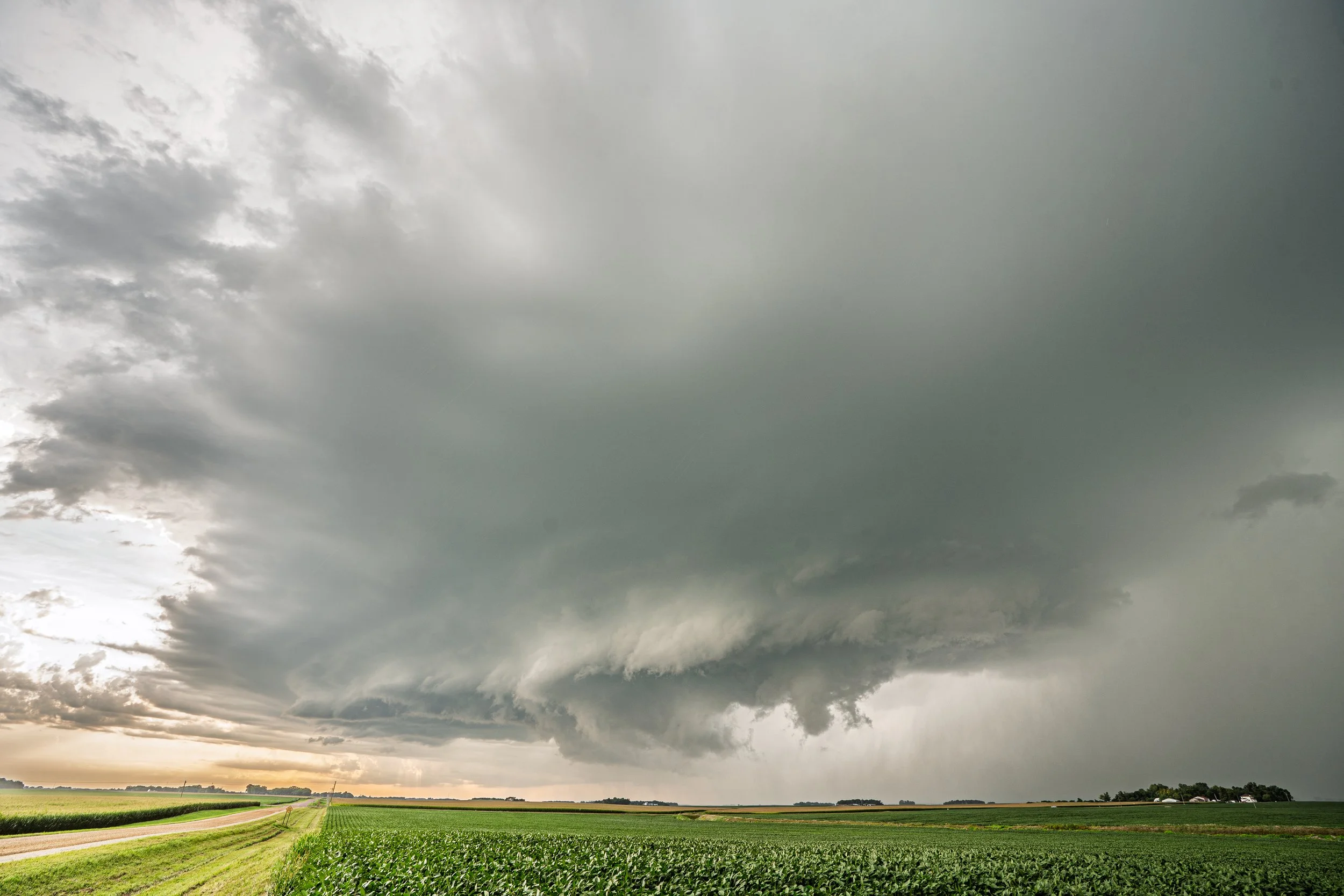
Wall cloud holding together but starting to lose its well-defined look.
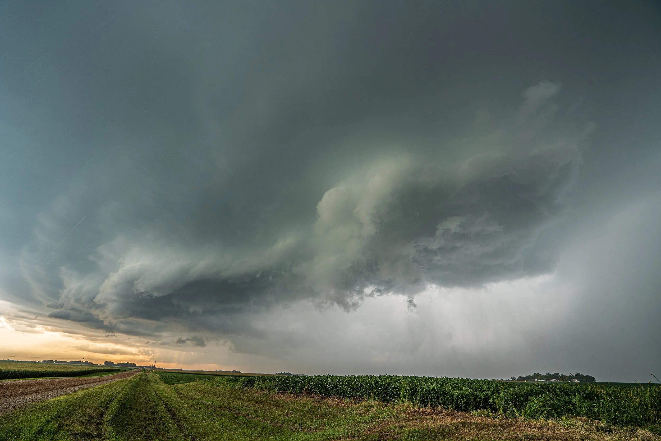
Storm gusting out more at this point and losing the wall cloud completely. But still some decent structure! Taken at 7:13 p.m.
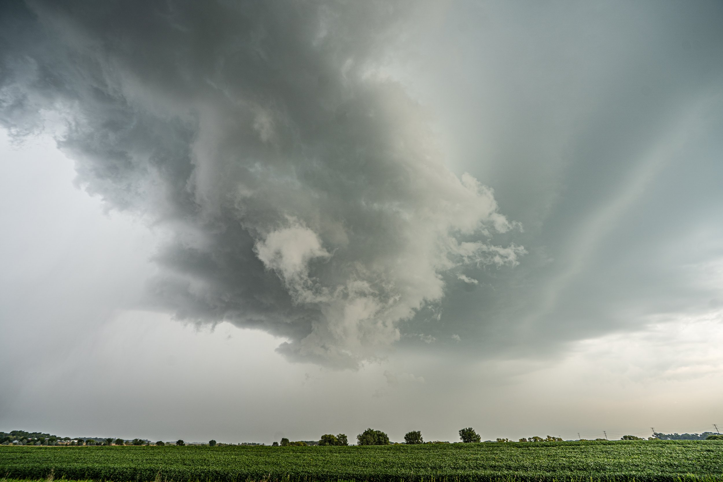
Ragged shelf cloud with scud being pulled in ahead of the core near Wabasso, Minnesota.