MAY 27, 2020 TEXAS: STORM CHASE FROM ABILENE TO SAN ANTONIO


DSC_3774.jpg

Daytime cloud to ground strike on our initial supercell near Coleman, Texas.

Storm struggling with dewpoints only in the upper 50’s and lower 60’s. High based and somewhat outflow dominant.

DSC_3801.jpg

Shelf cloud on outflow dominant supercell approaching Fredericksburg, Texas.

DSC_3925.jpg
mcd0739.gif

Mesoscale Discussion issued at 12:08 p.m. CDT for risk of severe hail and wind with developing storms.

mcd0742.gif

Mesoscale Discussion issued at 12:44 p.m. CDT for anticipation of a Watch to be issued soon in advance of developing storms.

ww0231_radar_init.gif

Severe Thunderstorm Watch issued at 1:45 p.m. CDT valid until 9:00 p.m. CDT. Primary threats include... Widespread large hail and isolated very large hail events to 3 inches in diameter likely. Scattered damaging wind gusts to 70 mph likely. A tornado or two possible.

mcd0746.gif

Mesoscale Discussion issued at 3:40 p.m. CDT for intensifying storms to produce severe wind and hail threats through 5-6 p.m.

mcd0747.gif

Mesoscale Discussion Issued at 5:05 p.m. CDT outlining potential for another watch to be issued downstream of the original watch.

ww0232_radar_init.gif

The next Severe Thunderstorm Watch issued at 5:20 p.m. CDT as severe storms continue to intensify and move southeast towards San Antonio.

mcd0749.gif

Mesoscale Discussion issued at 7:11 p.m. CDT for the storm we were on indicating hail size to increase as it approaches the San Antonio metro area.

mcd0750.gif

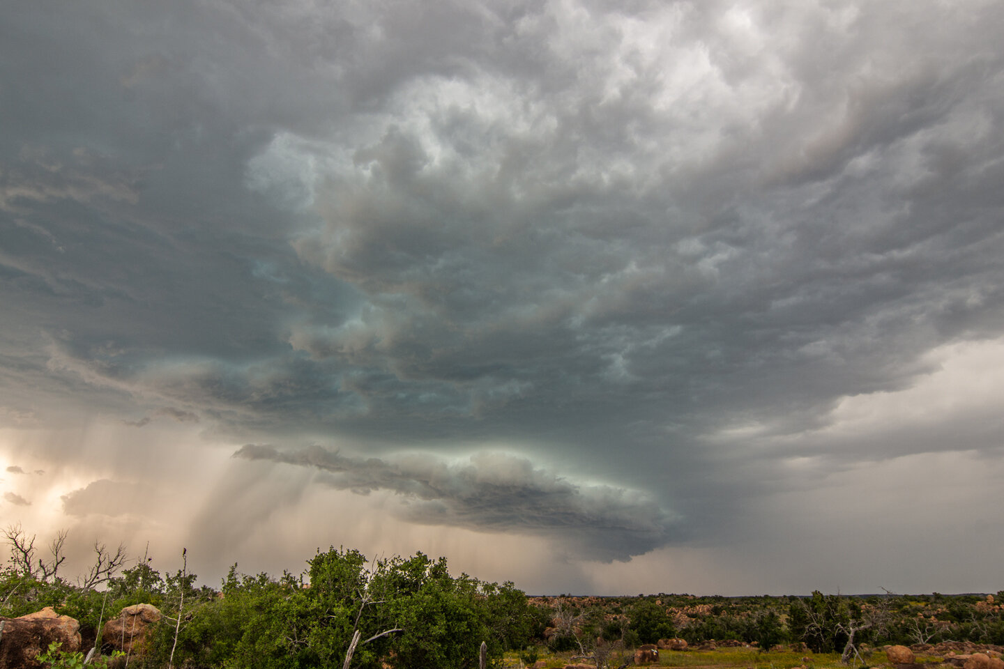
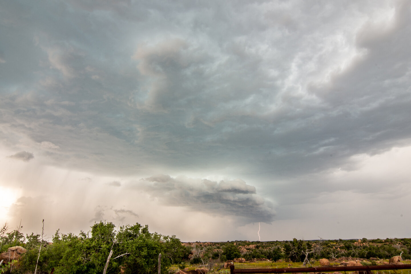
Mesoscale Discussion issued at 9:35 p.m. CDT for large hail and strong wind gusts with the storms moving over and near the San Antonio area. We got out ahead and bailed north on I-35 to get ahead of the hail before it could reach the interstate at the end of our chase day.

STORM REPORTS:

200527_rpts_filtered.gif

STORM PREDICTION CENTER OUTLOOKS: