
JUNE 24TH IOWA: TORNADO WARNED HIGH-PRECIPITATION SUPERCELLS

Tornado warned supercell north of the warm front. A heavy bank of low clouds and fog underneath the updraft bases of these storms. An eerie scene driving into this to say the least, especially with it being tornado warned and all of the lightning/thunder this storm was producing.

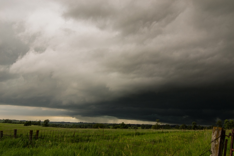
This was the closest the storm came to producing a tornado from our vantage point. This was a large, rotating mesocyclone with a developing wall cloud. You can sense the scud being pulled around the backside of the meso and around to the left and then wrapping up into that white lowered area in the foreground. It was spinning hard!

View of the base south of Panora as we were trying to get out ahead with the storm dive-bombing southeast.

White wall cloud to the north of Stuart on the tornado warned storm. There was not much rotation here with this feature.
Further west on the tail end storm near Anita. Notice the dark lowering in the distance. This was the hook echo on radar and showed signs of lowered bowl before being undercut by outflow.

Panoramic shot from my iPhone of the entire storm near Anita, IA. Inflow tail to the right, lowering in the distance to the left. Large base in the middle.

A ragged lowering on the storm near Fontanelle.

Lightning!

Supercell slowing down on the tail end near Fontanelle. Has okay structure here and still rather intense. Popping lightning quite a bit.
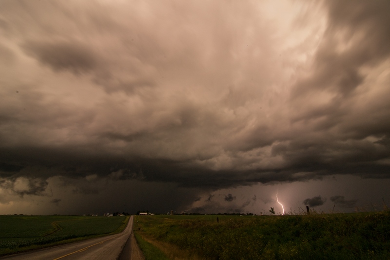
Intense core on the storm at sunset and popping cg lightning like crazy.

Very intense core on this storm...so we decided to drive through it! Ended up with nickel size hail as the storm appeared to weaken when we core-punched.
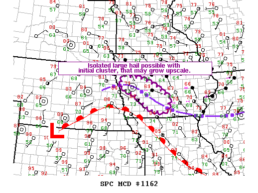
MESOSCALE DISCUSSIONS:


STORM REPORTS:

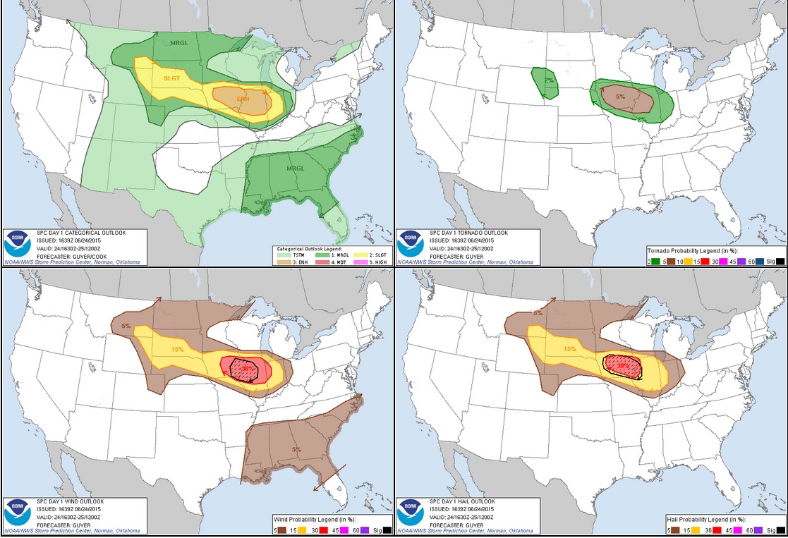
STORM PREDICTION CENTER OUTLOOKS:
JUNE 24th, 2015 CHASE LOG: IOWA
I had been keeping an eye on this day for a while and knew there was going to be some tornado potential with the kind of set-up the models were showing days in advance. Myself, MaryLynn, and Allison Stupica left the Twin Cities early in the morning and took the kids down to my parents, then departed for Des Moines, Iowa.
Storm Setup: Convection (some severe) lingered along a stalled warm front through central Iowa much of the day. This pushed an outflow boundary into southwest Iowa where it was interacting with a stationary front right near the Iowa/Nebraska/Missouri border area. Dewpoints along this boundary were very high and in 70-74F range, while temperatures heated up into the upper 80s and low 90s, providing considerable buoyancy for storms if they could develop. Aloft, there was a speed max coming through Iowa late in the day with 40-45 kts of bulk shear, but some of this higher shear displaced just to the north.
The atmosphere sure took its time to destabilize and I believe the speed max moved in late. We waited around into the afternoon at a restaurant in southwest Des Moines and eventually moved west towards an area that had been highlighted for a conditional supercell and tornado risk in southwest Iowa per a mesoscale discussion issued at 2:23pm. As we were traveling west on Hwy 92 towards Greenfield and Fontanelle, we could see towers exploding to the north. These quickly became severe as storms formed on an outflow enforced warm front and not on the ouflow boundary draped to the southwest. We advanced north through Adair where we crossed I-80 and then further north to intercept a severe warned storm west of Guthrie Center. It was very ominous driving up to the storm base where clouds appeared to be on the ground, and there was almost what looked like a fog bank set up south of the storm with such a warm and humid airmass being ingested into it. A Tornado Watch was soon issued at 6:20pm as our storm became tornado warned and also the one to the east. We followed the rapidly developing supercell that was already taking on high precipitation characteristics to the east on Hwy 44 towards Panora. To the west of town, we stopped to watch and this is where it had a large, rotating mesocyclone and appeared ready to drop a tornado. The storm was still tornado warned and the meso was spinning hard with rapid condensation taking place for a few minutes. We traveled through Panora and south on P28 to escape the forward flank core and as the storm started to surge southeast. We stopped once we got back to I-80 as the eastern storm now became tornado warned. The tornado warned storm we were on was now dive-bombing southeast with a large, rotating mesocyclone and a lot of motion over the town of Stuart. Folks in Stuart were a little freaked out by this and there were a lot of people out of their homes and some erratic driving by the locals as we traveled through town.
A new, tail-end supercell had been developing as we chased our storm to near Stuart, and we decided to blast west towards this storm that already had a hook echo and was severe-warned. We had to blast through the RFD hook on our storm going west on I-80 to get to this cell and, as we did so, there was a lot of motion in the clouds, high winds, some hail and even some debris being lofted into the air. It was difficult to figure out what was going on, but it appeared to be swirling RFD winds coming around the hook and possibly a few weak gustnadoes that we drove through. We arrived on the next storm south of Anita on Hwy 148 and watched a lowering come at us to the northwest, but wash out as the outflow winds choked it off. Staying ahead of this storm toward Berea and Fontanelle, the storm slowed down and took on some decent structure with occasional cloud-to-ground lightning that led to some photogenic opportunities. We ended the chase here as the storm was high-precipitation and it was getting dark.