2009 Storm Chasing Highlights Video
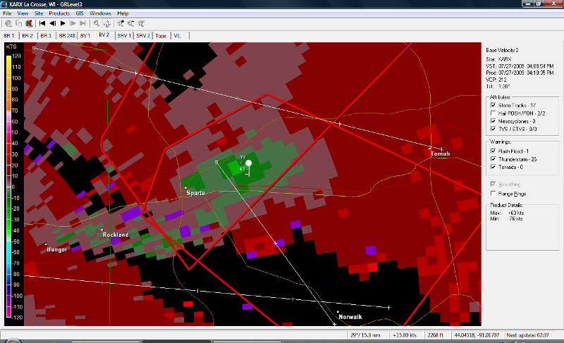
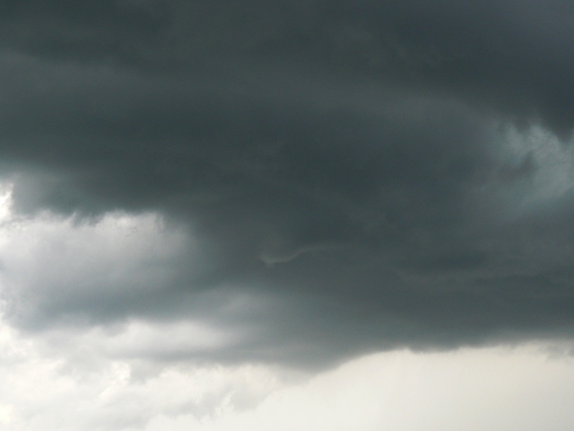
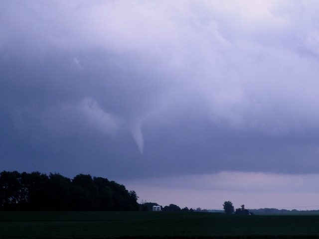
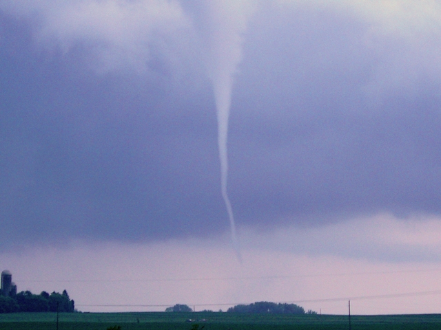
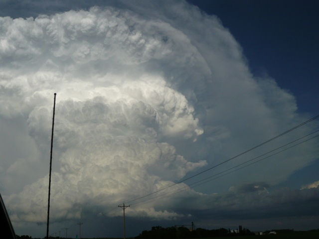
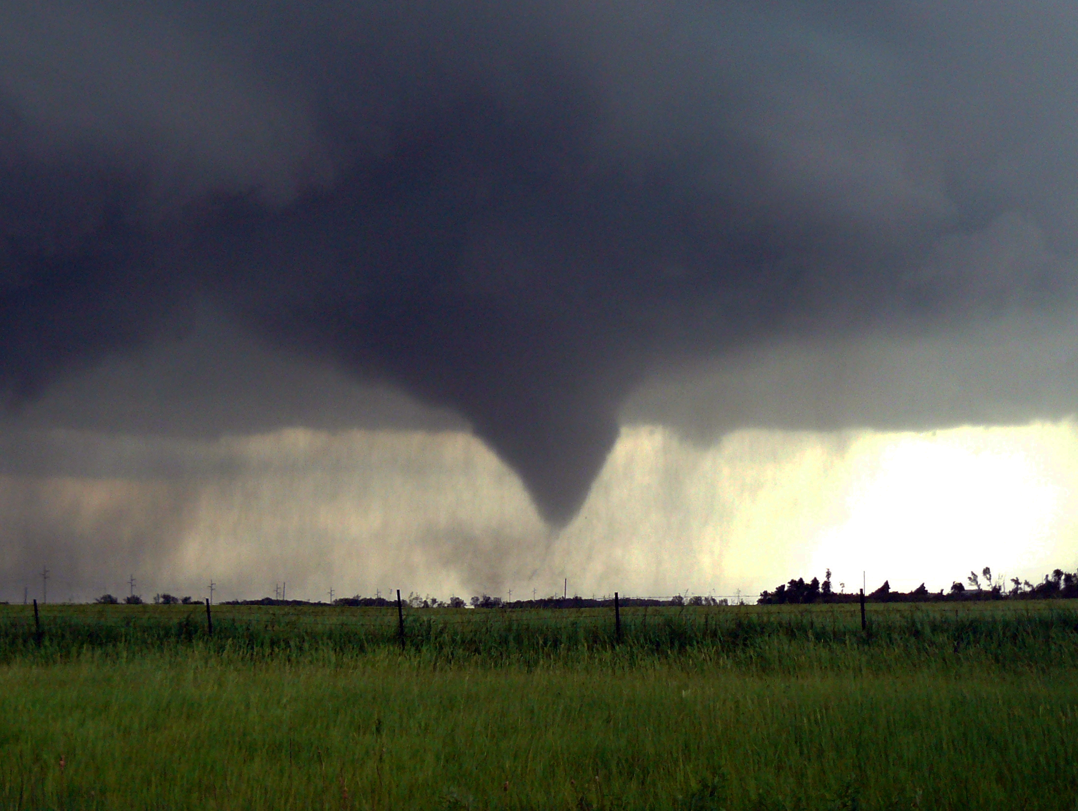
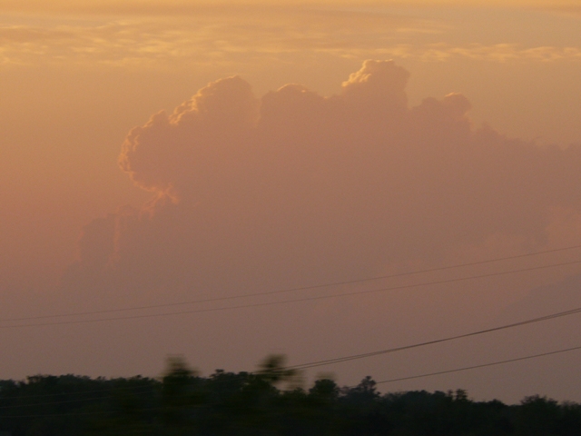
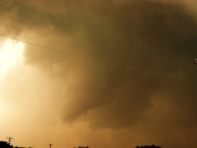
2009 turned out to be a great year after a slow start. MaryLynn and I decided to take a chance and head down to the Southern Plains in early May to see if we could get lucky since the weather pattern for that time period did not look promising. Maybe not the smartest thing to do, but we both had vacation and thought at least the road trip would be a fun idea. We ended up having two successful chase days with some very photogenic storms but ultimately did not end up with any tornadoes, which was fine with us as we got to witness some incredible storms. Thereafter, it was quite slow for the Upper Midwest till the middle and end of June when I was fortunate to witness and film the Austin and Alden tornadoes of June 17th and 21st, respectively. These two days were by far the best days of my chase season, although I did have a couple more decent chase days in late June and July, one of which was in southwest WI where a pair of supercells produced several wall clouds and a brief funnel over relatively rough terrain to chase in. It was difficult to find the time to chase this year due to traveling for work weeks on end, but the days I did go out ended up being very good this year, although I have to admit that there were a few busts as is with any year. You always take the bad with the good. Now on to the 2010 Chase Season!