
May 8th Southern Oklahoma/Northern Texas Storm Chase
05-08-09 CHASE LOG: OK/TX
Not a great day overall with rather weak shear and a cap till later in the day when storms were able to bust through.Models were consistently forecasting over near 5000 j/kg for the late afternoon and a non-capped atmosphere with precipitation breaking out in all the main model solutions. However, this was a cold front situation with weak southerly inflow winds resulting in not as favorable shear profiles as one would hope. Also, another limiting factor was the weak upper level support and really little to no jet support. All in all, not a great day but it was nice to see some severe storms and a few wall clouds.
We started the day in Davis, OK and sat around in a church parking lot till 5pm when things really started to get going. We first went to check out the initially developing storms to the north of Ada. These storms had skinny updrafts and were not all that impressive, but had some decent updraft bases nonetheless. Not liking the overall look of these storms, we doubled back down to near Davis where some more impressive cells were going up to the west of I-35.These storms quickly had shear and hail markers and quickly became supercellular with severe thunderstorm warnings issued by the NWS. We did take a few wall cloud pictures and some storm structure. A better storm soon developed to the east of Wichita Falls, TX, just to the south of the Red River. We bailed on the northern storms and shot down I-35 to Gainesville, TX and then west on Hwy 82 to near St Jo, TX. As we approached this storm, it was after sundown and starting to get really dark, but it did become tornado warned with radar certainly indicating some strong rotation and an impressive hook. I tried to shoot some lightning pics here but there was just not enough to get some decent pictures and we could not see under the base at that point to see if there was any sort of lowering. After that, my wife and I drove through the night to get back to Burnsville before noon the next day. We made it in 11 hours, but I wouldn’t recommend doing it after chasing that day. What an incredibly long drive! But with 2 drivers, it was doable.

In Oklahoma, we noticed a sign for Minnesota Road!

Non-rotating wall cloud on our first storm of the day near Ada, Oklahoma.

Image of a wall cloud and inflow on a supercell near Davis, Oklahoma.
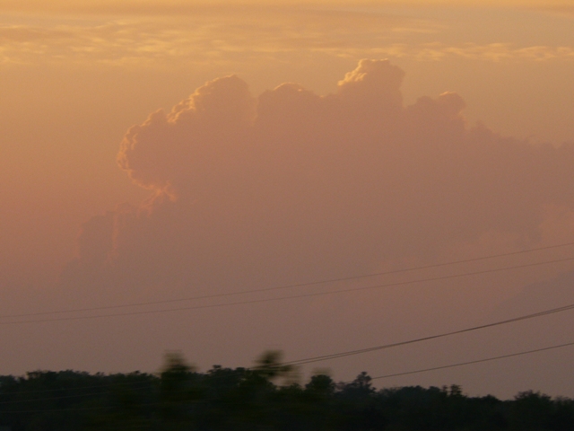
Thunderstorms developing in the distance at sunset.
More photos from this day can be found here: http://www.flickr.com/photos/39991047@N02/sets/72157621669956731/
