JULY 28, 2021 WISCONSIN: STORM NEARLY DROPPED A TORNADO, CHASING IN WOODED AREA


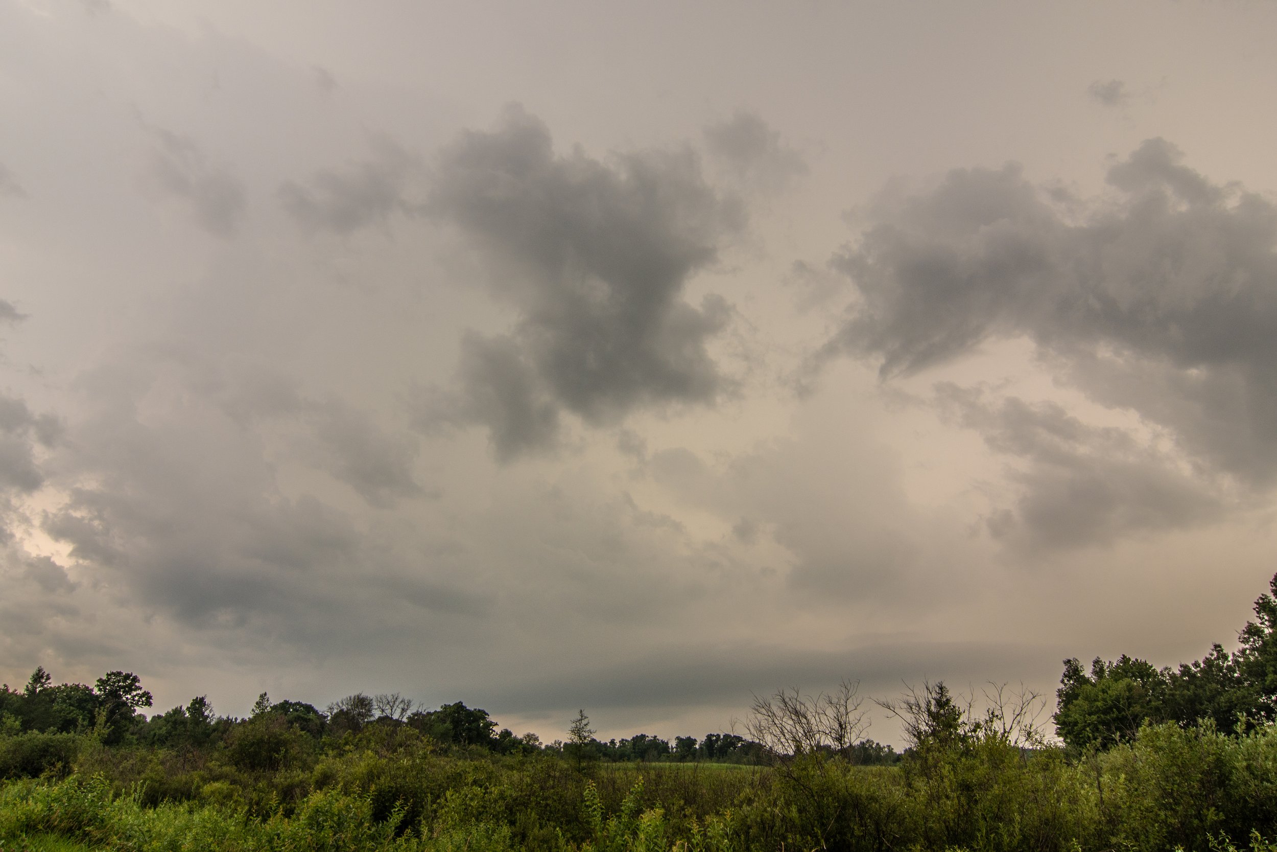
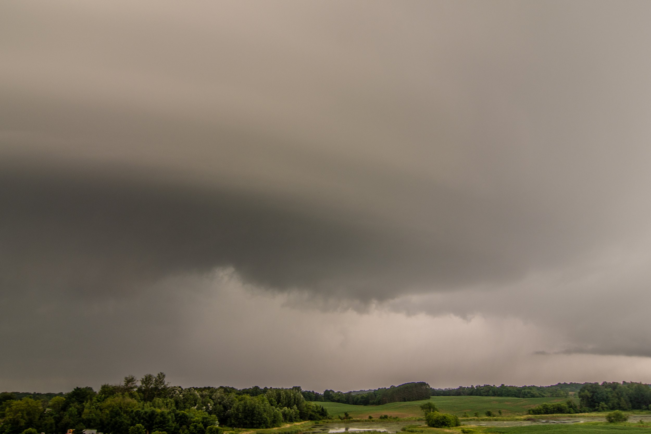
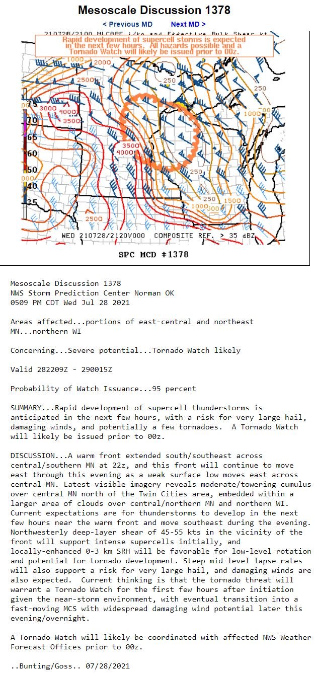
First look at the storm as I pulled up just southeast of it southwest of Grantsburg, WI near the St Croix River. Of course a tree is blocking the view but you can make out the lowering, possible wall cloud in there underneath the storm. This was just before it became tornado warned.

Tornado warned storm about to pass to my west.

Nice mesocyclone on this storm as it was passing just west of me here and great structure!

I moved west for a closer view before getting cored. Great structure but definitely losing organization. Still have inflow however.

Southern end of the meso as it started to look more like a shelf cloud. I quickly bailed west back to Hwy 87 through the forward flank core to get back south right after this.

All that is left of the occluding wall cloud looking to the north-northwest. Storm still tornado warned.

Mothership coming in! This was as I finally got back south ahead of it again near Trade River, WI. Stupid power lines in the shot.

Looking back north it still had an action area and rather unorganized lowering but still holding on to inflow.

Wall of rain about to soon overtake me near Cushing, WI.

Tried to get some lightning shots but not a lot of CG's to speak of. Still the CC lightning was enough to illuminate the storm at dark near Osceola, WI. Scud lowering in there is not a funnel cloud but certainly a look alike.

Last shot of the day as the storm was moving to my due east after sunset. This storm went on to bow out and produce a couple tornadoes and a lot of straight line wind damage as it progressed southeast through the night.

STORM REPORTS:

STORM PREDICTION CENTER OUTLOOKS: