
JUNE 14TH NEBRASKA: TORNADO WARNED STORMS

Lucky for me to catch this lightning shot since I was shooting out the car window at the time.

Mammatus on the storm south of Fullerton, Nebraska. Scenic and wide open area for this storm to form in.
Base of the left split storm as it was starting to break off to the north near Fullerton.
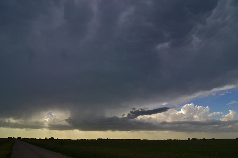
The southern supercell as it was starting to form a wall cloud south of Genoa, Nebraska. This storm became tornado warned a short while after this was taken.

Wall cloud on the tornado warned storm near Silver Creek, Nebraska. Intense core on the right.

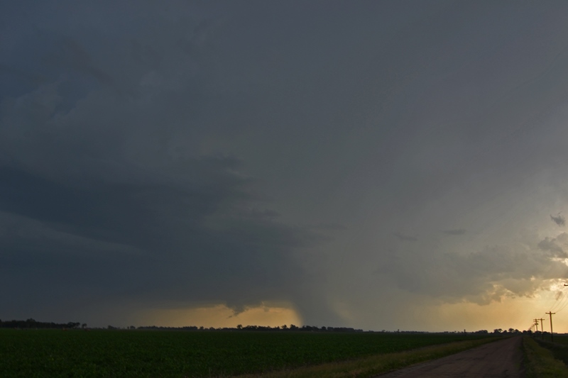
Wall cloud becoming better organized with solid inflow at this point. Storm merger taking place and starting to look messy on radar.

Short while later as an area of rotation attempted to become more focused, but soon fell apart.
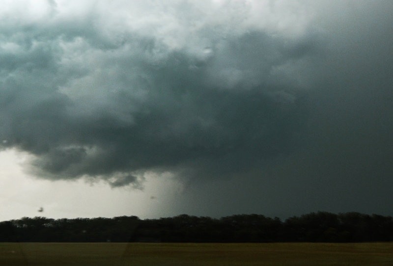
Blurry photo but this was a funnel cloud on the storm near Monroe, Nebraska. Finger hanging down from the storm in the center of the image.

