Severe warned thunderstorm with wall cloud approaching us in Okemah, Oklahoma.
Another wall cloud on the storm just to the northwest of us at the same location.
Storm starting to gust out a little more here, taking on more of a shelf cloud appearance although there is still a lowering tucked back in there on the northern end.
Wall cloud on the storm near Wetumka, Oklahoma as we continue south on highway 27 to stay ahead.
Severe thunderstorm starting to gust out a short while later after losing the wall cloud.
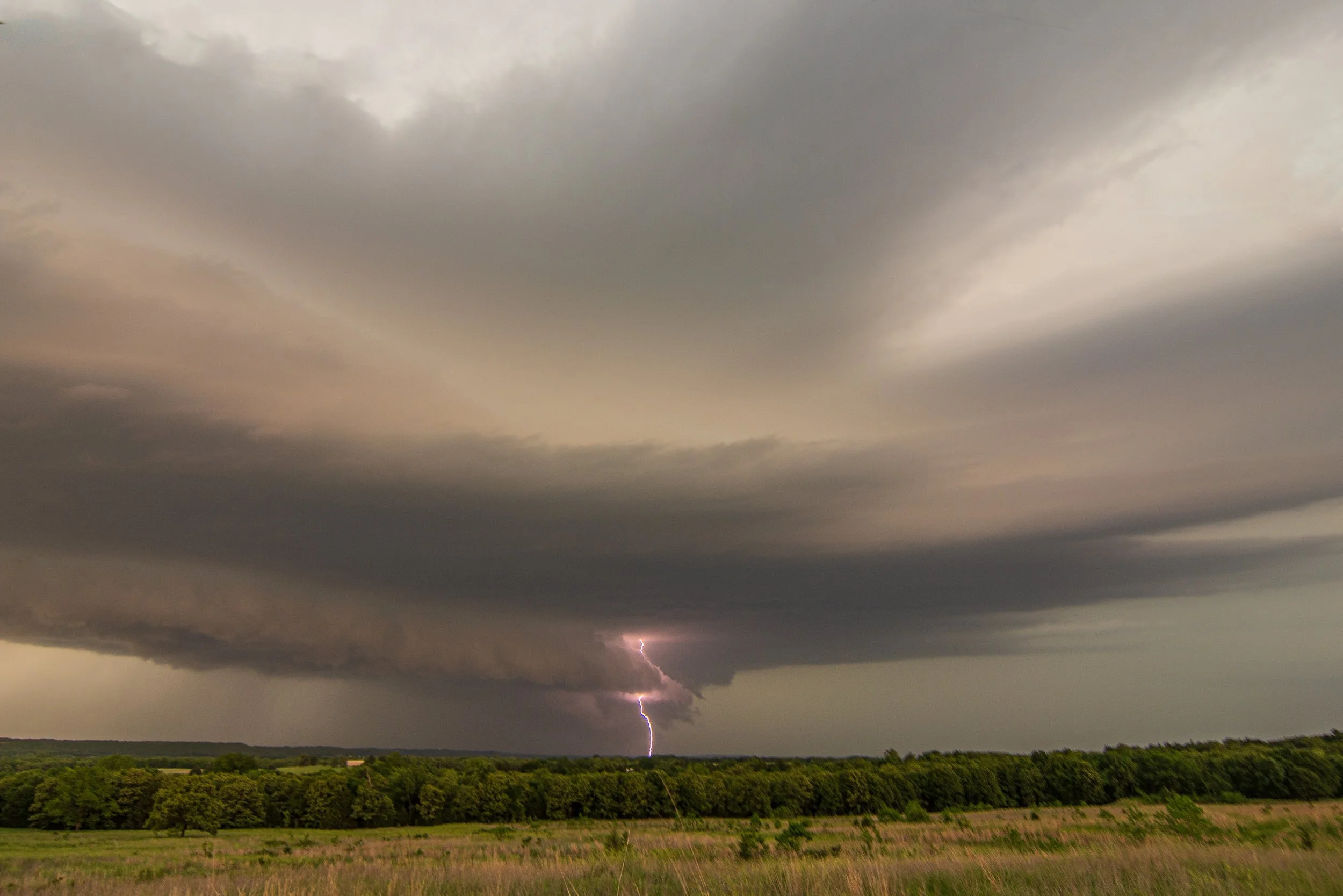
Fortunate to find a good vantage point on a hill to the south of Wetumka, Oklahoma to view the supercell and capture some CG lightning!
Caught this bolt on my iPhone as we watched the severe storm approach us near Horntown, Oklahoma.
Great structure with this supercell near Horntown, Oklahoma. Wall cloud forming on the right side of the base.
Just… WOW! Wall cloud tightening up here as and condensation occurring quickly on the right side.
Wall cloud still there as we repositioned to get back ahead of the storm.
Severe thunderstorm near Atwood, Oklahoma starting to become more outflow dominant and form shelf cloud.
Incredible mammatus display as we got back around the hail core of the storm on the north side in Holdenville, Oklahoma.
One of my favorite shots that I’ve ever taken! Lightning going through the mammatus and illuminating the clouds from above. Looks like something out of this world like an alien spaceship coming in from War of the Worlds or something.
Lightning coming out the back of the storm, this time underneath the mammatus.