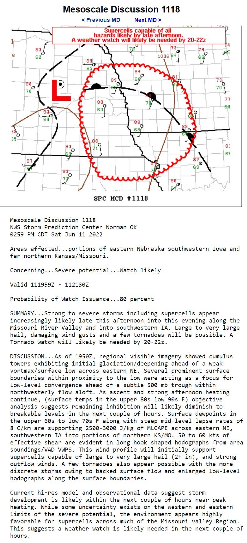
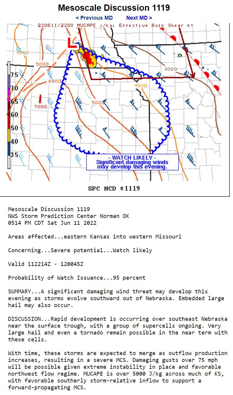
JUNE 11, 2022 NEBRASKA: SOME OF THE BEST STRUCTURE OF THE YEAR
Stopped heading south on highway 75 south of Auburn, Nebraska to take a look back at the developing supercell. Decided to turn around and head northwest towards this storm after seeing this view and the explosive updraft as noted on the left side! The scud rising up and condensing into the base underneath the updraft really caught my eye.
Beautiful supercell approaching me near Cook, Nebraska. Although the wall cloud was very low on the right side, I decided to wait here and take a time lapse as the tornado potential was not all that high in this environment and the storm was not tornado warned.
Here it comes! Heading directly for my position.
Just awesome structure here. There’s a couple of inflow tails and a nice wall cloud still in place.
Favorite shot of the day. WHAT A STORM!!!
Storm really starting to gust out and become outflow dominant now, but still holding onto some great structure.
Storm about to overtake me here. Ended up bailing shortly after taking this photo.
Got south ahead of the storm as it was tornado warned, and stopped to take a shot of the wall cloud holding on near Tecumseh, Nebraska.
Tornado warned storm here. Thought this was a lowering on the bottom left, possible funnel was going to touch down but it quickly dissipated.
Shelf cloud on the northern end of the hook of the storm.
Beautiful scene at sunset as I ended the case and headed to the hotel.


