
APRIL 19, 2023 IOWA: TORNADO AND FIRST CHASE OF THE YEAR

Initial severe warned supercell starting to crank up near Blencoe, Iowa. Already have a nice lowering in place underneath the stout updraft.

Storm approaching our position, coming directly at us as we stay put just northeast of Blencoe, Iowa off of Hwy E54.

Our position northeast of the developing supercell as indicated by the crosshairs.

Beautiful looking storm as we stand our ground. Nice inflow streamers into the updraft and core.

Core moving closer but main portion looks to move just to our north as we are directly in the primary low level inflow region next to the forward flank core. Hail about to commence!

Primarily quarter size hail on the storm with some bigger stones mixed in here and there.

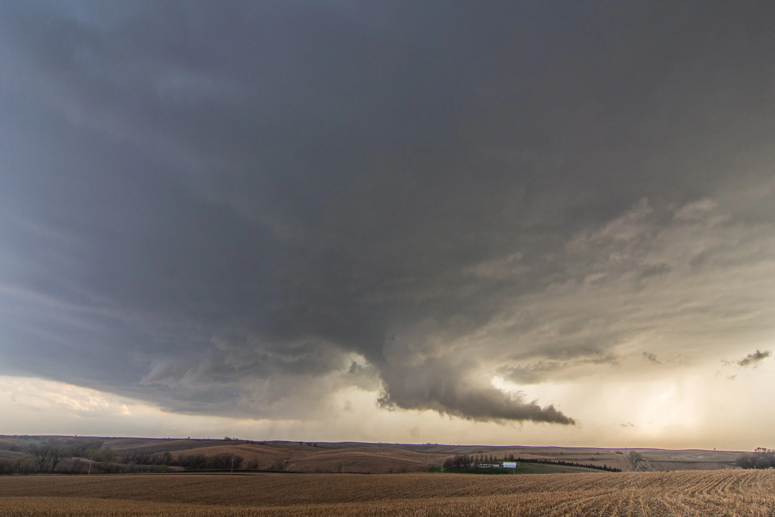
Storm now a bit disorganized here but is trying to get its act together with a slowly rotating mesocyclone right in front of us near Ute, Iowa.

Here we go. Beginnings of a real wall cloud starting to form with condensation tail cloud on the backside and wrapping around the new mesocycline.

Funnel cloud here on the left side of the maturing wall cloud. Storm taking on great structure at this point.

Funnel wrapping up here in the middle and not able to condense further to the ground. This whole area was rotating and you can see this in the video.
New wall cloud trying to form after the first attempt at a tornado. This did not hold on very long as it quickly became undercut.

Storm holding on nicely with an action area still present and capturing our attention near Charter Oak, Iowa.

Funnel cloud near Deloit, Iowa trying to condensate to the ground. Keep coming down buddy!

We have a tornado! Faint debris cloud underneath at this point. Can see it better in the video.


Definitely a noticeable debris cloud under the tornado at this point!

And that’s all she wrote with this one as the short-lived tornado lifted.

Beautiful structure of the storm after sunset and sparking like crazy east of Deloit as we progressed towards the Boyer and Breda areas.


Funnel cloud look-alike as organized scud was being pulled into the base on the left side of the image.


