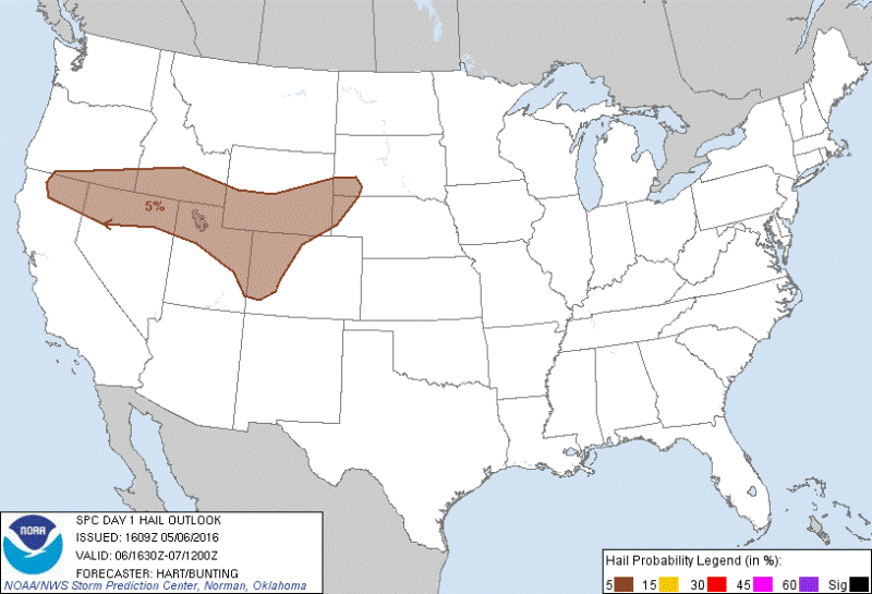
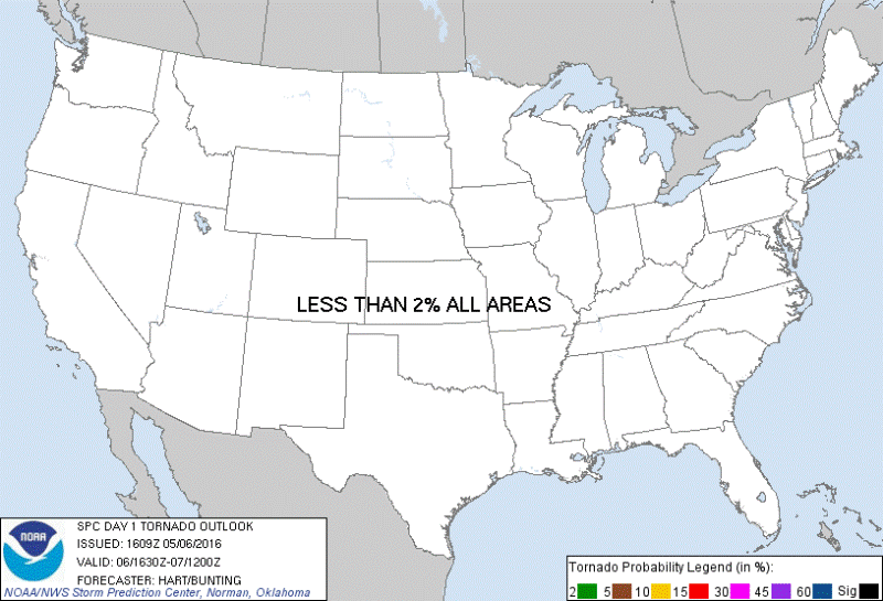
May 6TH WYOMING: SUPERCELL TIME LAPSE
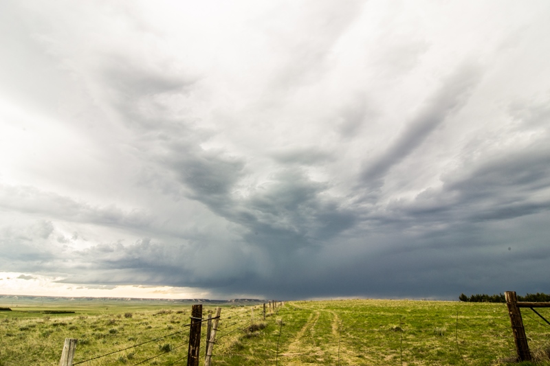
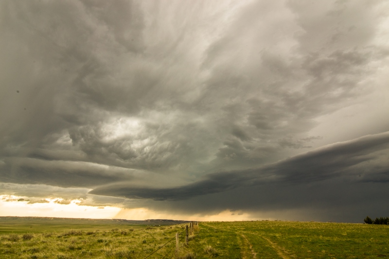
Supercell storm rolling off the Laramie Range near Chugwater, Wyoming. You can see the feeder bands from all directions into this storm. Pulling in all the moisture that it can, considering dewpoints were only in the middle 40s.
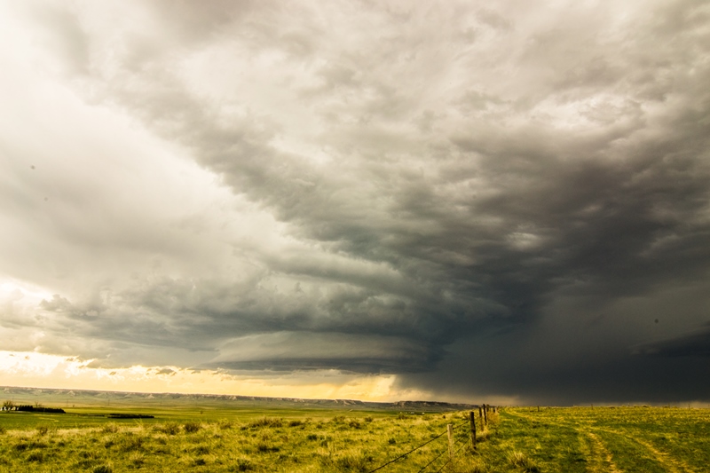
Nicely structured mothership supercell over the foothills of the Laramie Range in Wyoming. You can see how this storm is rotating with the clouds twisting into the updraft.

Another shot of the supercell as it was starting to move out over the flatter Plains near and east of Chugwater. Storm starting to weaken some at this point.
Storm weakening but holding onto some good structure with well defined high-based inflow bands and storm base.
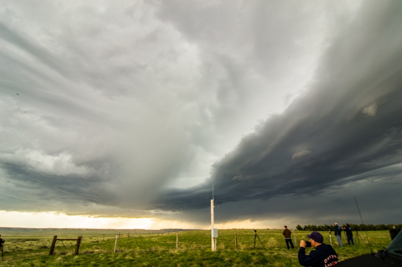
View of the storm as another core was starting to open up right in front of us. Was popping some cg lightning with this new core but could not capture any of the lightning in a photo.