
June 21st Minnesota Storm Chase - Several Wall Clouds Near Twin Cities

Shower with sharp updraft and developing base near Cannon Falls, MN.

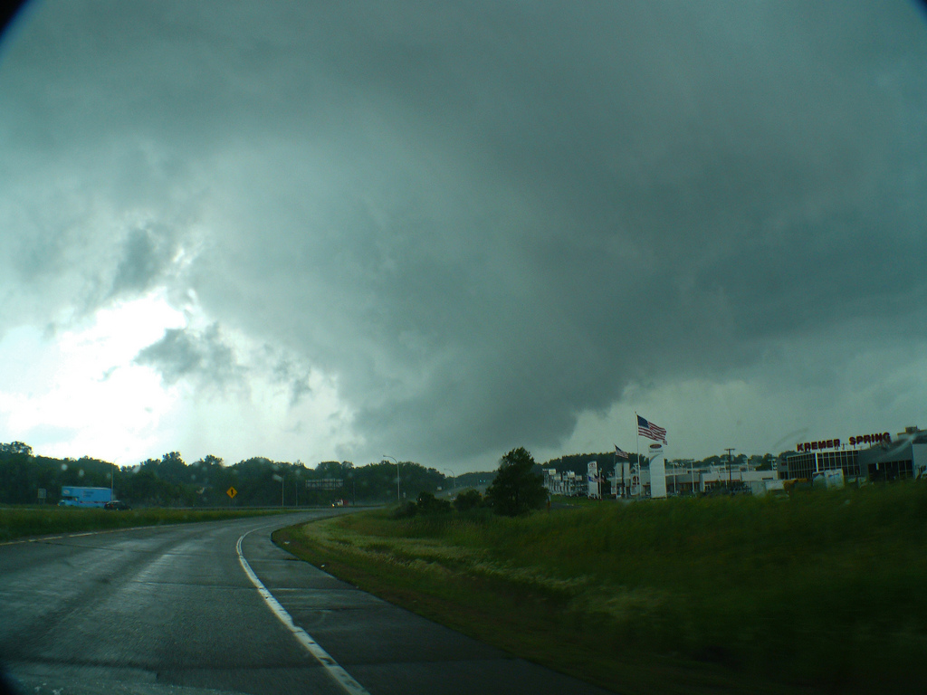
Base of the now tornado warned shower near Hampton, MN.

Wall cloud forming near Hampton, MN.

Wall cloud weakening but still having rising motion into the base as we traveled on Hwy 50 east of Hampton.

Structure shot of shower and base over Vermillion, MN. Notice inflow tail to the right wrapping into the cell.
Wall cloud becoming much tighter and more pronounced near Inver Grove Heights.

Large wall cloud with rotation moving north-northwest of Inver Grove Heights.
More photos from this day can be found here: http://www.flickr.com/photos/39991047@N02/sets/72157627022778876/
Storm Reports:

06-21-11 CHASE LOG: MINNESOTA MaryLynn and I left Burnsville, MN around 12:30pm and headed down Hwy 52 as showers were approaching from the south. These showers were developing on a northward lifting occluded front and a triple point lifting north along the MS River, while the warm front was further east into WI. The area along these boundaries was in an environment of high speed shear and some decent turning in the low levels, while instability had increased due to a few hours of heating during the late morning as rain had moved north of the area. This was all taking place as a deep surface low slowly meandered across southwest MN.
The showers became heavier and more pronounced as we approached Cannon Falls, MN so we decided to wait and see what they would do. One shower began to take off north of town and a crisp updraft was observed on the low topped shower with a lowering beginning to form. We followed north on Hwy 52 just as the storm became tornado warned and the shower began to show signs of rotation on radar. The lowering soon formed a wall cloud near Hampton as we progressed east of the storm on Hwy 50 and then paralleling the storm north on Co Rd 85 towards Vermillion. The wall cloud weakened near Vermillion and re-formed north of town near Coates. We traveled west on Hwy 62 and then north again on Hwy 52, getting back underneath the cell as the wall cloud began to grow and the rotation became more pronounced. Near the Koch Refining Company on the east side of Rosemount is where the strongest rotation of the wall cloud was observed with rapid condensation into the base, strong inflow, coupled with RFD winds that appeared to be dragging the smoke and steam from the refinery back around and into the shower itself. It was a really cool sight to see but at no time did I see a funnel, although I would not be surprised if there was a spin-up around this time as it was looking rather impressive.
Thereafter, we followed up Hwy 55 and South Robert Trail into Inver Grove Heights as the wall cloud became the largest it had been the entire time. As we took Hwy 110 west to 35E north, the wall cloud held together upon moving through St Paul but became more ragged upon moving northwest of the city. The shower continued off to the northwest and we were not able to follow due to the traffic congestion on Hwy 36 and a similar circumstance and crash on I-694 west. This cell did end up producing an EF-0 tornado in Blaine and Coon Rapids.
The amazing thing with this cell was that there was not any lightning through the duration that we were following, likely due to being low-topped and not high enough above the freezing level to lead to a separation of charges and, therefore, lightning. It was interesting to witness several wall clouds out of a small shower.