
May 22nd East Central Minnesota Storm Chase - Forest Lake Tornado
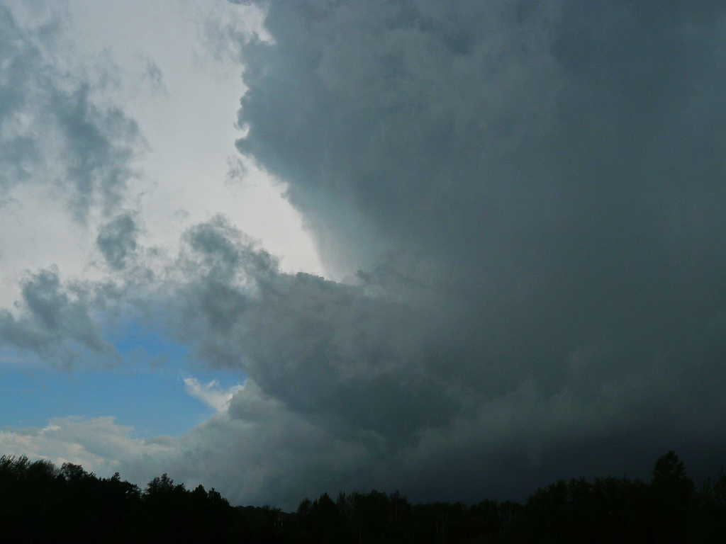
The storm approaching the Forest Lake, MN area with sharp updraft on the south side.

Looking to the west off Hwy 97 just to the west of Cty Rd 15 as the tornado is about to come down.

Tornado touching down just to the south of Hwy 97 to the southeast of Forest Lake, MN.

Tornado about to cross Hwy 97 to the east-southeast of Forest Lake, MN.

Another shot of the tornado about to cross the road with some debris in the air.

Tornado crossing the road and starting to throw tree limbs, branches and other foliage into the air.

Tornado starting to lift to the north of Hwy 97 a few miles east of Forest Lake, MN.
More photos from this day can be found here: http://www.flickr.com/photos/39991047@N02/sets/72157626820607856/
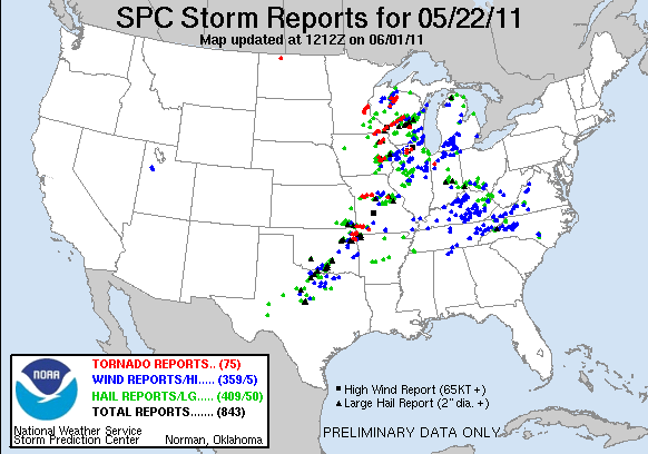
Storm Reports:
05-22-11 CHASE LOG: MINNESOTA
This was not your typical chase day as I flew in from a work trip and landed at the MSP airport shortly after noon. MaryLynn and I had planned on leaving for Kansas City to spend the night and chase on Monday, May 23rd, but knowing that there was a Slight Risk for severe weather and a 10% hatched area for tornadoes across southeast MN, just clipping the Twin Cities, I kept an eye on the weather before we left for our trip. The set-up included a potent upper low across southwest MN that tracked northeast through the day. A warm and humid airmass overspread the region ahead of a cold front slicing through the area during the early to mid afternoon. Thunderstorms initiated along this front during the early afternoon and a tornado warning was soon issued for the Minneapolis area. This storm did produce a damaging tornado in and around the northeast side of the city of Minneapolis and sadly 1 fatality. We headed up I-35E as this storm continued its track to the north of the metro area. A new storm developed in the vicinity of Roseville/Arden Hills, while we paralleled the storm to the east and northeast. This storm soon became tornado warned as Doppler radar was showing signs of rotation.
As the storm approached the Forest Lake, MN area and was still tornado warned, we wanted to get out ahead and take Hwy 97 east as the couplet headed northeast towards our location. Around a mile to the west of the Hwy 97 and Cty Rd 15 intersection, the storm produced a tornado that touched down for roughly 2 minutes or so. The tornado did not appear to produce any significant damage, but we could visibly see large tree limbs and branches being thrown into the air. The tornado was later rated an EF-0, producing winds of 65-85 mph. Quite the surprising tornado considering that I was not even planning on chasing on this day!